Rubha a' Ghuail
Coastal Feature, Headland, Point in Argyllshire
Scotland
Rubha a' Ghuail
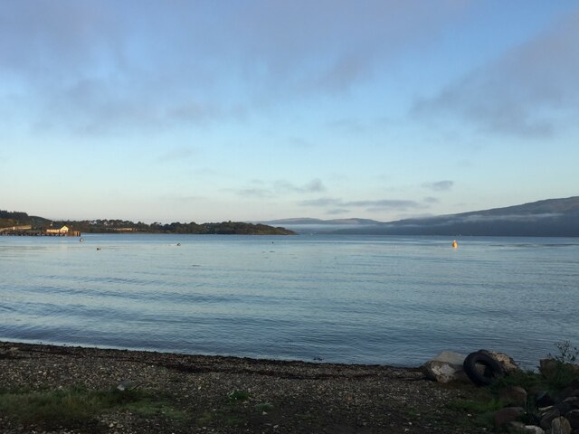
Rubha a' Ghuail is a stunning coastal feature located in Argyllshire, Scotland. It is a headland that juts out into the Atlantic Ocean, forming a prominent point along the rugged coastline. The name "Rubha a' Ghuail" translates to "Point of the Storm" in Gaelic, which perfectly captures the wild and untamed nature of this area.
The headland is characterized by its dramatic cliffs and rocky terrain, which provide breathtaking views of the surrounding sea and coastline. The cliffs tower above the crashing waves below, creating a sense of awe and grandeur. The rugged landscape is dotted with heather, grasses, and wildflowers, adding bursts of color to the otherwise rocky and windswept environment.
Rubha a' Ghuail is a popular destination for outdoor enthusiasts, nature lovers, and photographers. The headland offers numerous walking and hiking trails, allowing visitors to explore the area's natural beauty up close. The coastal path along the headland provides opportunities for birdwatching, with various seabirds such as gannets, puffins, and guillemots often spotted in the area.
Due to its exposed location, Rubha a' Ghuail is subject to the full force of the Atlantic Ocean, making it a prime spot for witnessing the power of nature. Storms can create impressive waves crashing against the cliffs, providing a dramatic and mesmerizing spectacle for onlookers.
In summary, Rubha a' Ghuail is a stunning headland in Argyllshire, Scotland, known for its dramatic cliffs, rugged terrain, and breathtaking coastal views. It is a popular destination for outdoor enthusiasts and offers a chance to experience the raw power of the Atlantic Ocean.
If you have any feedback on the listing, please let us know in the comments section below.
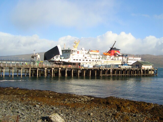
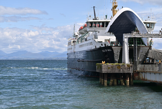
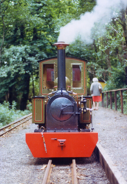
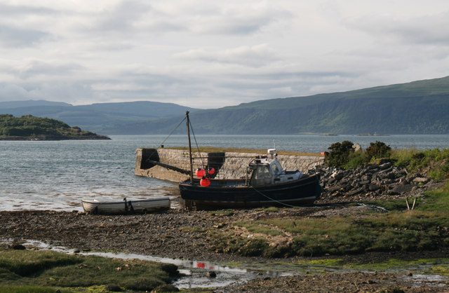
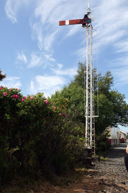
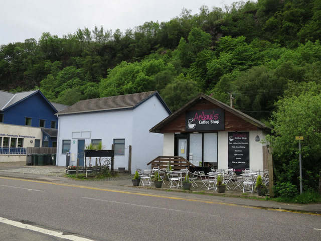
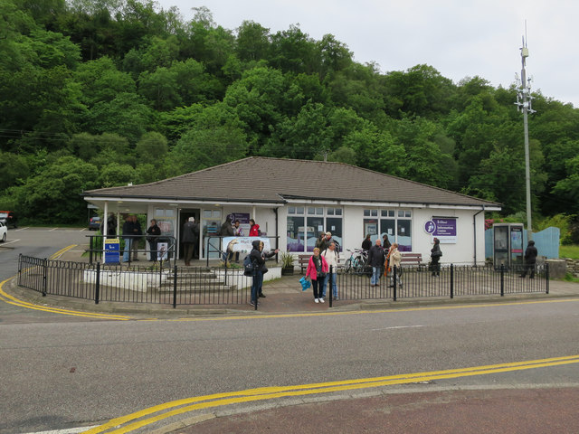
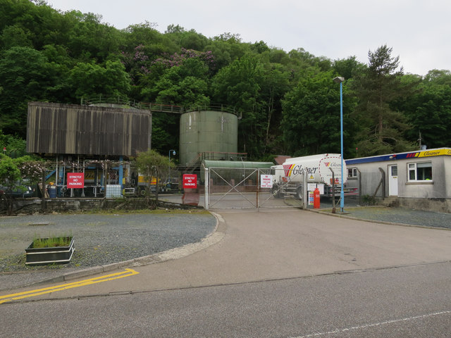
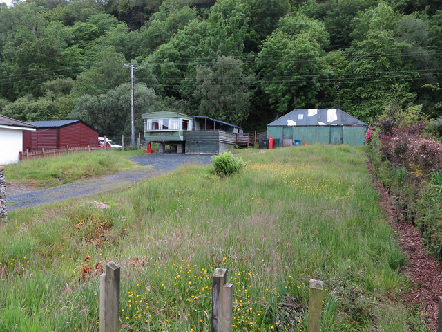
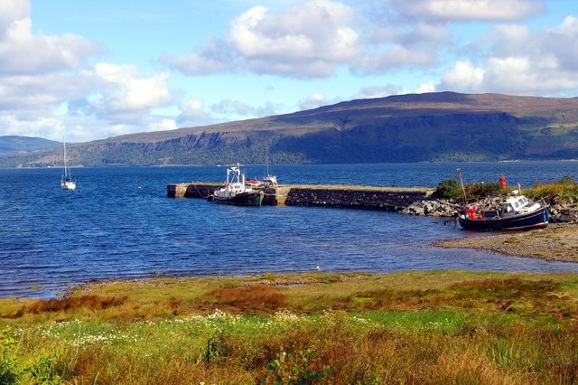
Rubha a' Ghuail Images
Images are sourced within 2km of 56.46968/-5.7005872 or Grid Reference NM7236. Thanks to Geograph Open Source API. All images are credited.
Rubha a' Ghuail is located at Grid Ref: NM7236 (Lat: 56.46968, Lng: -5.7005872)
Unitary Authority: Argyll and Bute
Police Authority: Argyll and West Dunbartonshire
What 3 Words
///saddens.valid.lift. Near Craignure, Argyll & Bute
Nearby Locations
Related Wikis

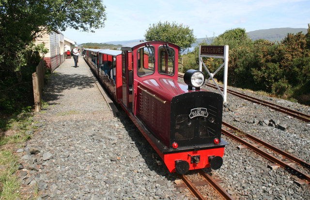
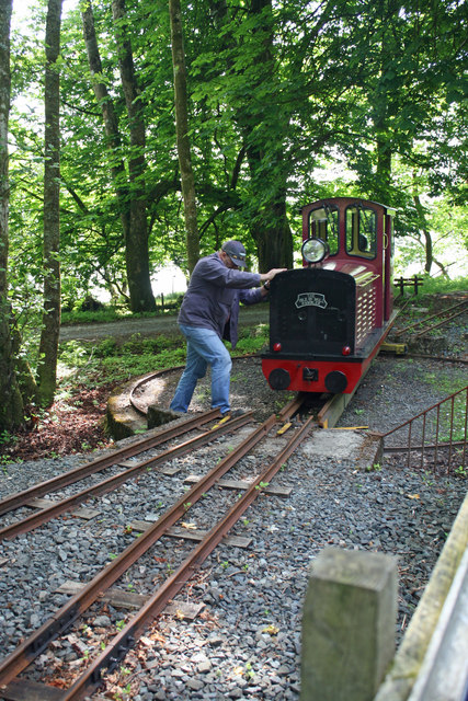
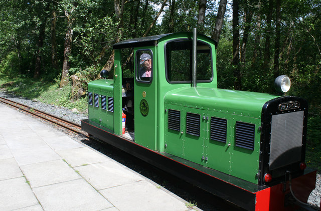
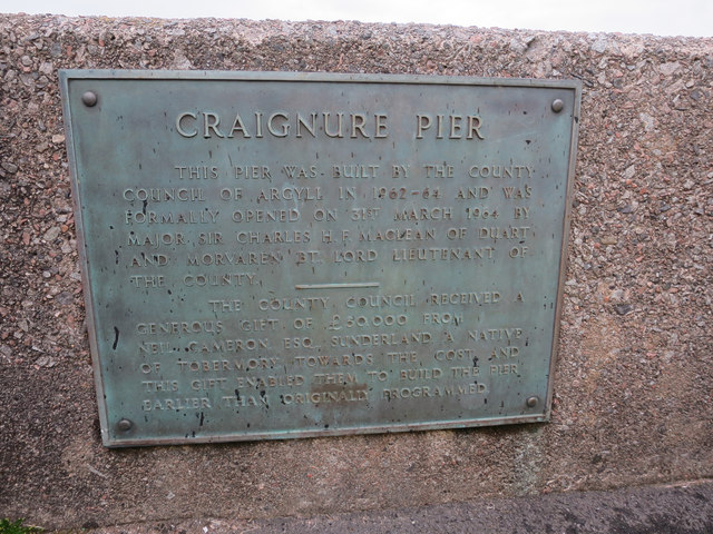
Craignure railway station
Craignure is a station on the Isle of Mull, Argyll and Bute, Scotland, on the Isle of Mull Railway line. == External links == Railway’s website
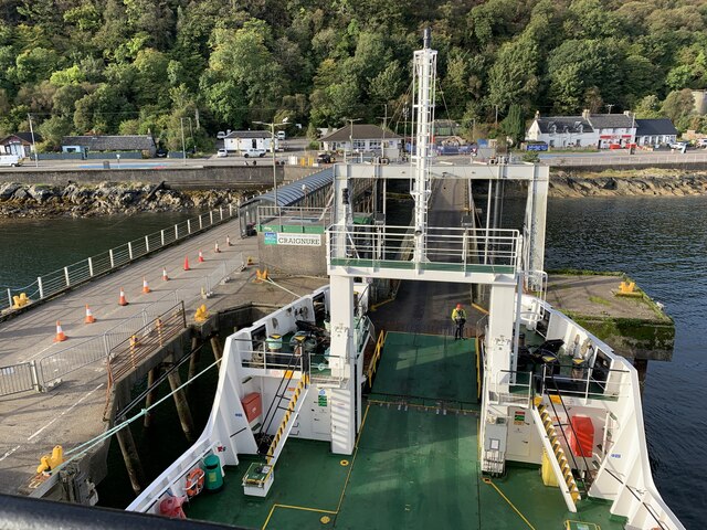
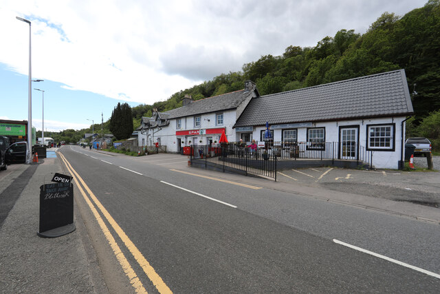
Craignure
Craignure (; Scottish Gaelic: Creag an Iubhair) is a village and the main ferry port on the Isle of Mull, Argyll and Bute, Scotland. The village is within...
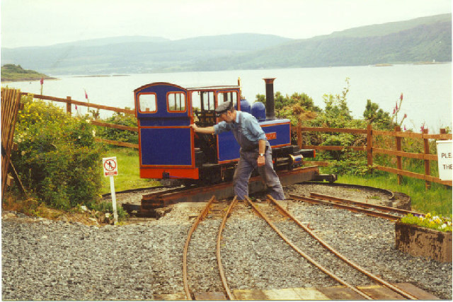
Isle of Mull Railway
The Isle of Mull Railway was a 10+1⁄4 in (260 mm) gauge line, 1+1⁄4 miles (2.0 km) long, which ran from the ferry terminal at Craignure to Torosay Castle...

Mull and Iona Community Hospital
Mull and Iona Community Hospital is a community hospital in Java Road, Craignure, Scotland. It is managed by NHS Highland. == History == The facility was...
Nearby Amenities
Located within 500m of 56.46968,-5.7005872Have you been to Rubha a' Ghuail?
Leave your review of Rubha a' Ghuail below (or comments, questions and feedback).