Eiridh Gharbh
Coastal Feature, Headland, Point in Inverness-shire
Scotland
Eiridh Gharbh

The requested URL returned error: 429 Too Many Requests
If you have any feedback on the listing, please let us know in the comments section below.
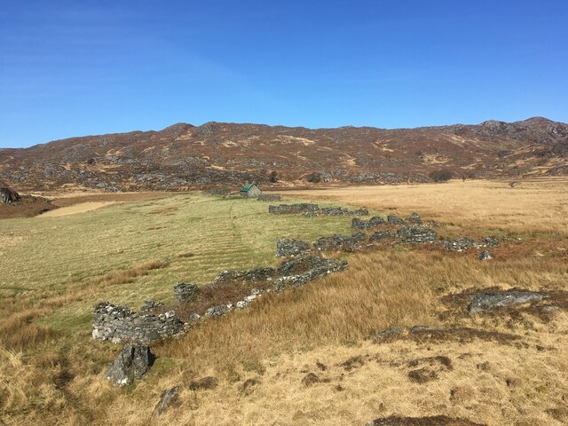
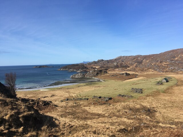
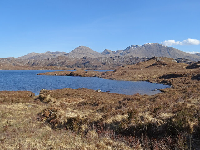
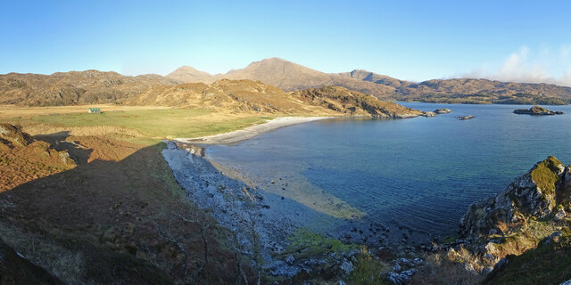
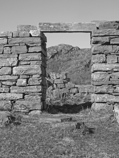
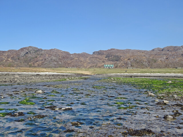
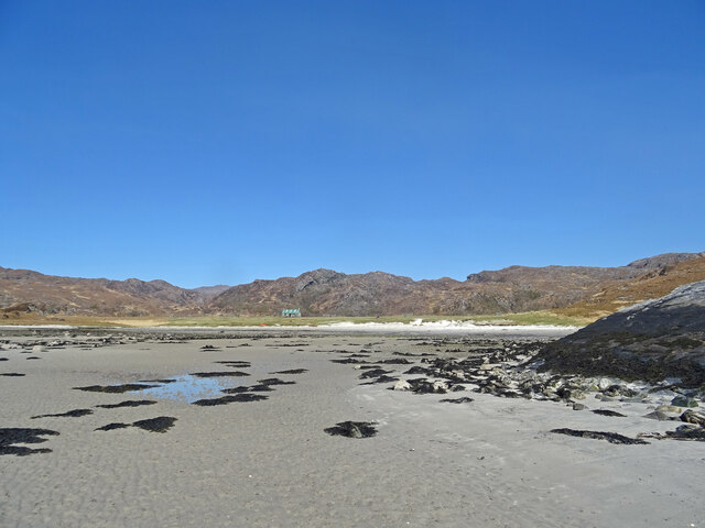
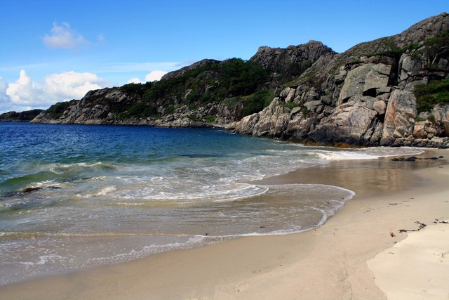
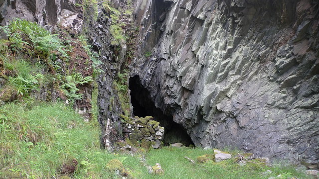
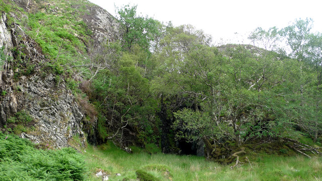
Eiridh Gharbh Images
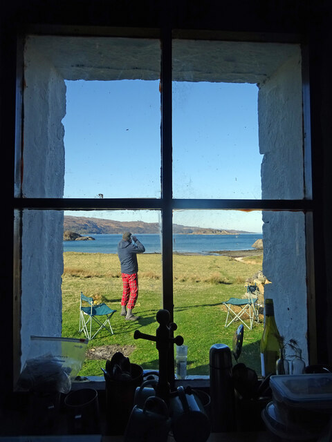
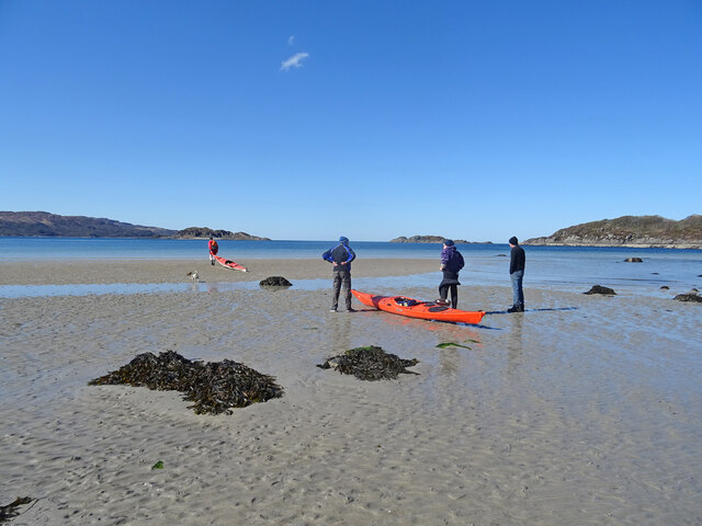
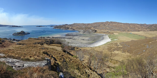
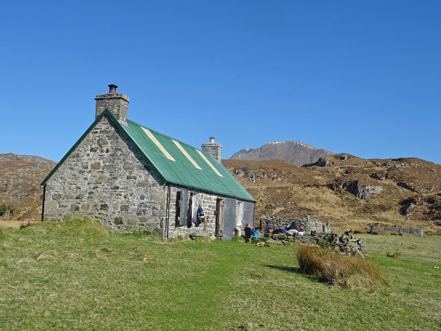
Images are sourced within 2km of 56.873164/-5.7664657 or Grid Reference NM7082. Thanks to Geograph Open Source API. All images are credited.


Eiridh Gharbh is located at Grid Ref: NM7082 (Lat: 56.873164, Lng: -5.7664657)
Unitary Authority: Highland
Police Authority: Highlands and Islands
What 3 Words
///sings.registers.warthog. Near Arisaig, Highland
Nearby Locations
Related Wikis
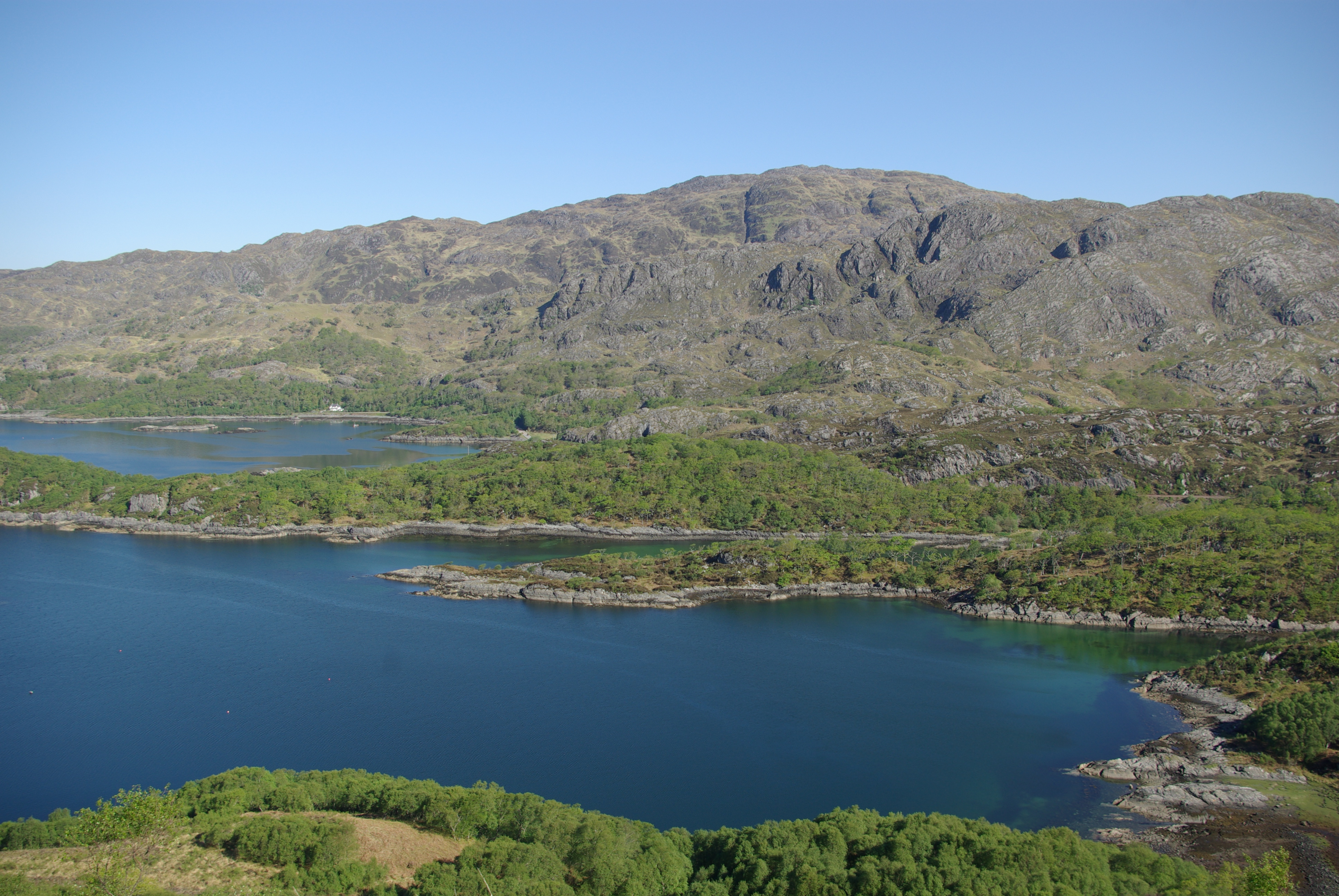
Loch Beag
Loch Beag is a cove on the west coast of Northern Scotland, in the vicinity of the Sound of Arisaig. The eastern end of the Sound of Arisaig divides into...

Prince Charlie's Cave
There are many Prince Charlies Caves in the Highlands, caves where Charles Edward Stuart was said to have sheltered when on the run from the Duke of Cumberland...
Druimindarroch
Druimindarroch (Scottish Gaelic: Druim nan Darach) is a small settlement which lies on the north coast of Loch nan Uamh in Lochaber, Scottish Highlands...

Beasdale railway station
Beasdale railway station is a railway station serving Glen Beasdale in the Highland region of Scotland. This station is on the West Highland Line, sited...
Nearby Amenities
Located within 500m of 56.873164,-5.7664657Have you been to Eiridh Gharbh?
Leave your review of Eiridh Gharbh below (or comments, questions and feedback).