The Chair

Coastal Feature, Headland, Point in Cornwall

England

The Chair
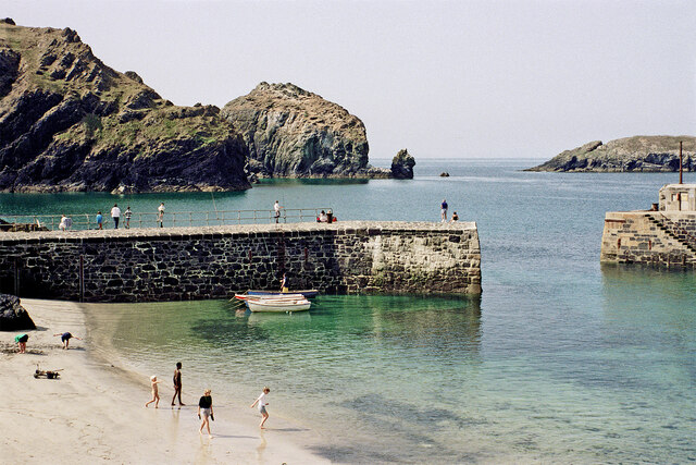
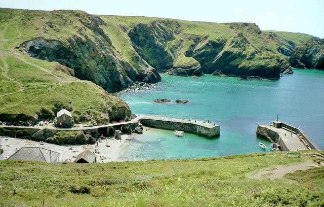
Mullion Cove in Cornwall Looking south-west.

The image has been scanned from a Kodak Gold 100 negative dating from August 1990.
Mullion Cove in Cornwall Credit: Roger D Kidd

The requested URL returned error: 429 Too Many Requests

If you have any feedback on the listing, please let us know in the comments section below.

The Chair Images

Images are sourced within 2km of 50.006909/-5.2654286 or Grid Reference SW6616. Thanks to Geograph Open Source API. All images are credited.
Mullion Cove in Cornwall Looking south-west.

The image has been scanned from a Kodak Gold 100 negative dating from August 1990.
Mullion Cove in Cornwall
Looking south-west. The image has been scanned from a Kodak Gold 100 negative dating from August 1990.
Coastline by Mullion Island in Cornwall This view is looking north from the South West Coast Path above Higher Predannack Cliff.

The image has been scanned from a Kodak Gold 100 negative dating from August 1990.
Coastline by Mullion Island in Cornwall
This view is looking north from the South West Coast Path above Higher Predannack Cliff. The image has been scanned from a Kodak Gold 100 negative dating from August 1990.
The South West Coast Path above Polurrian Cove The South West Coast Path National Trail - 630 miles of superb coastal walking. From Minehead on the edge of the Exmoor National Park to the shores of Poole Harbour in Dorset. It is the longest of all Britain's National Trails.
Website: <span class="nowrap"><a title="http://www.southwestcoastpath.com/" rel="nofollow ugc noopener" href="http://www.southwestcoastpath.com/">Link</a><img style="margin-left:2px;" alt="External link" title="External link - shift click to open in new window" src="https://s1.geograph.org.uk/img/external.png" width="10" height="10"/></span>
The South West Coast Path above Polurrian Cove
The South West Coast Path National Trail - 630 miles of superb coastal walking. From Minehead on the edge of the Exmoor National Park to the shores of Poole Harbour in Dorset. It is the longest of all Britain's National Trails. Website: LinkExternal link
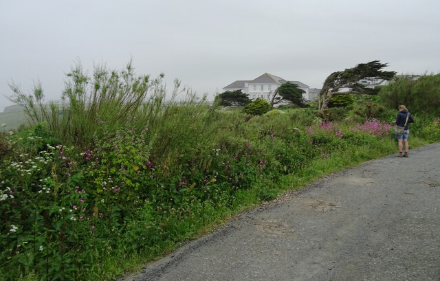
The Polurrian Hotel seen from The South West Coast Path above Polurrian Cove The South West Coast Path National Trail - 630 miles of superb coastal walking. From Minehead on the edge of the Exmoor National Park to the shores of Poole Harbour in Dorset. It is the longest of all Britain's National Trails.
Website: <span class="nowrap"><a title="http://www.southwestcoastpath.com/" rel="nofollow ugc noopener" href="http://www.southwestcoastpath.com/">Link</a><img style="margin-left:2px;" alt="External link" title="External link - shift click to open in new window" src="https://s1.geograph.org.uk/img/external.png" width="10" height="10"/></span>
The Polurrian Hotel seen from The South West Coast Path above Polurrian Cove
The South West Coast Path National Trail - 630 miles of superb coastal walking. From Minehead on the edge of the Exmoor National Park to the shores of Poole Harbour in Dorset. It is the longest of all Britain's National Trails. Website: LinkExternal link
Mullion Island seen from South West Coast Path near The Mullion Cove Hotel The South West Coast Path National Trail - 630 miles of superb coastal walking. From Minehead on the edge of the Exmoor National Park to the shores of Poole Harbour in Dorset. It is the longest of all Britain's National Trails.
Website: <span class="nowrap"><a title="http://www.southwestcoastpath.com/" rel="nofollow ugc noopener" href="http://www.southwestcoastpath.com/">Link</a><img style="margin-left:2px;" alt="External link" title="External link - shift click to open in new window" src="https://s1.geograph.org.uk/img/external.png" width="10" height="10"/></span>
Mullion Island seen from South West Coast Path near The Mullion Cove Hotel
The South West Coast Path National Trail - 630 miles of superb coastal walking. From Minehead on the edge of the Exmoor National Park to the shores of Poole Harbour in Dorset. It is the longest of all Britain's National Trails. Website: LinkExternal link
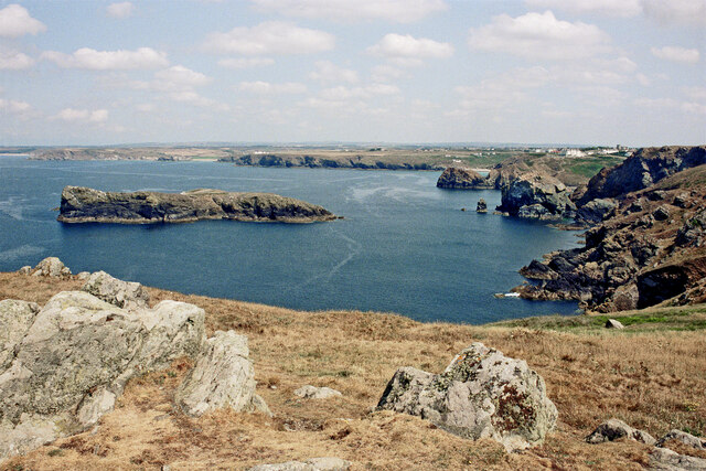
Coastline and islands at Mullion Cliff
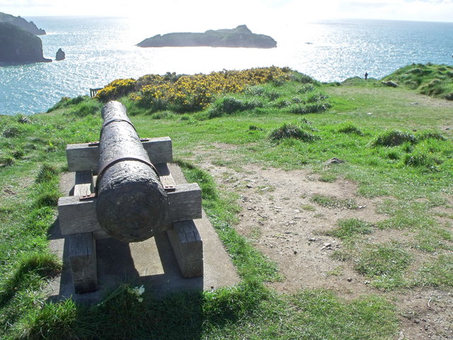
Cannon above Mullion Cove
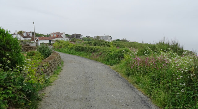
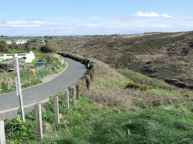
Minor road above Mullion Cove
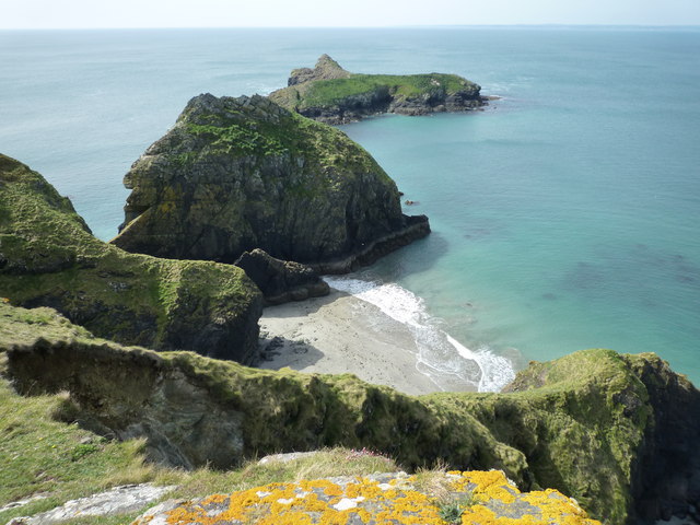
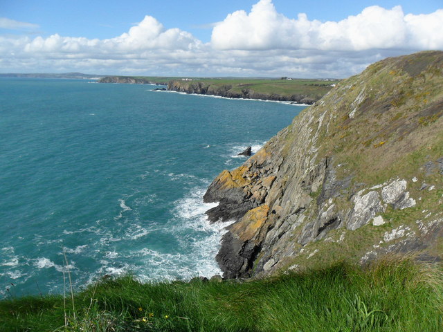
Cliffs north of Mullion Cove
Cannon at Mullion Cove
Mullion Cove Harbour
Harbour at Mullion Cove,  Cornwall Rough seas whipped up by the remnants of  hurricane Katia which blew around the top of the Atlantic and battered Britain.
Harbour at Mullion Cove, Cornwall
Rough seas whipped up by the remnants of hurricane Katia which blew around the top of the Atlantic and battered Britain.
Mullion Cove, Cornwall The turbulant waters around Scovarn Rocks
Mullion Cove, Cornwall
The turbulant waters around Scovarn Rocks
Mullion Cove, Cornwall A lone spectator risks a soaking, ( or worse ) from the heavy seas whipped up by the tail end of Hurricane Katia which brought much devastation to America's coast
Mullion Cove, Cornwall
A lone spectator risks a soaking, ( or worse ) from the heavy seas whipped up by the tail end of Hurricane Katia which brought much devastation to America's coast
High and dry at Mullion Cove Cornwall
Mullion Cove On an extremely windy day with the sea occasionally spraying over the harbour wall. I am standing by the corner of the winch house. The rusty winch in the foreground is clearly no longer usable. The southern harbour wall was out of bounds due to storm damage. Considerable sums are spent on keeping the harbour walls in good repair. A lifeboat was stationed here for a while but it was realised it was little use as nothing could get out of the harbour in bad conditions.
Mullion Cove
On an extremely windy day with the sea occasionally spraying over the harbour wall. I am standing by the corner of the winch house. The rusty winch in the foreground is clearly no longer usable. The southern harbour wall was out of bounds due to storm damage. Considerable sums are spent on keeping the harbour walls in good repair. A lifeboat was stationed here for a while but it was realised it was little use as nothing could get out of the harbour in bad conditions.
The Mullion Cove Hotel Mullion Cove hotel is situated on the Lizard Peninsula, the hotel stands on the cliff top overlooking Mullion’s harbour and fishing cove with uninterrupted sea views.
The Mullion Cove Hotel
Mullion Cove hotel is situated on the Lizard Peninsula, the hotel stands on the cliff top overlooking Mullion’s harbour and fishing cove with uninterrupted sea views.
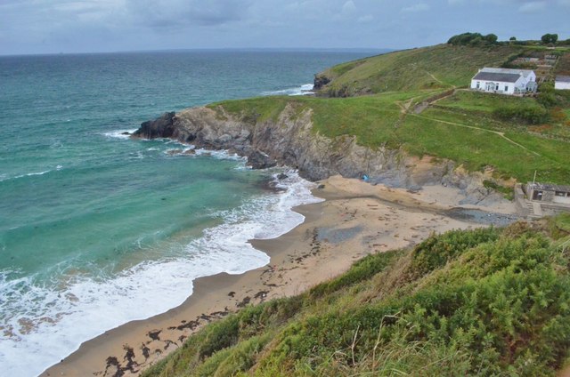
Pollurian Cove A view of the cove which shows the Lizard boundary fault. The boundary between the blueschists of the Lizard ophiolite and Devonian metapelites.
Pollurian Cove
A view of the cove which shows the Lizard boundary fault. The boundary between the blueschists of the Lizard ophiolite and Devonian metapelites.
Show me another place!

The Chair is located at Grid Ref: SW6616 (Lat: 50.006909, Lng: -5.2654286)

Unitary Authority: Cornwall

Police Authority: Devon and Cornwall

What 3 Words

///marsh.thorax.bound. Near Mullion, Cornwall

Related Wikis

Mullion Island

Mullion Island (Cornish: Enys Pryven, meaning worm island) is an uninhabited island on the eastern side of Mount's Bay, Cornwall, in the United Kingdom...

Mullion Cove

Mullion Cove, or Porth Mellin, is a small community on the West Coast of the Lizard Peninsula in Cornwall, England, and on the eastern side of Mount's...

Ogo-dour Cove

Ogo-dour Cove is a small cove located at grid reference SW 667 157. Its name comes from the Cornish words 'ogo' meaning a 'cave' and 'dour' meaning 'water...

Mullion F.C.

Mullion Football Club is a football club based in Mullion, Cornwall. They are currently members of the South West Peninsula League Premier Division West...

Nearby Amenities

Located within 500m of 50.006909,-5.2654286
Source: PGS
Lat/Long: 50.0095661/-5.2624153
Source: PGS
Lat/Long: 50.0065276/-5.2677615
Ford: yes
Lat/Long: 50.0092037/-5.2608304
Description: OS trig pillar
Ele: 81.686
Man Made: survey_point
Material: concrete
Note: Accurate location import for imagery offset calibration
Ref: S7869
Source: Ordnance Survey (OGL)
Survey Point: pillar
Lat/Long: 50.0027819/-5.2636556
Men-te-Heul
Place: locality
Lat/Long: 50.0062731/-5.2693839
Canavas
Place: locality
Lat/Long: 50.0068853/-5.2674012
The Chair
Place: locality
Lat/Long: 50.0070726/-5.2661378
Barrier: stile
Lat/Long: 50.0099117/-5.2606188
The data included in this document is from www.openstreetmap.org. The data is made available under ODbL.

Have you been to The Chair?

Leave your review of The Chair below (or comments, questions and feedback).