Am Pluc
Coastal Feature, Headland, Point in Argyllshire
Scotland
Am Pluc
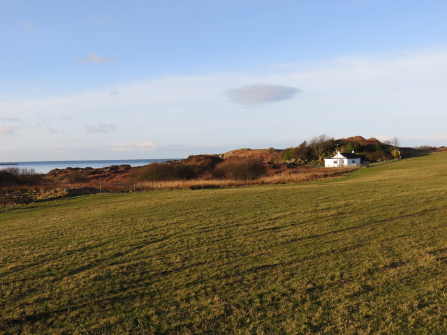
Am Pluc is a picturesque coastal feature located in Argyllshire, Scotland. It is known for its stunning headland and point, jutting out into the vast expanse of the Atlantic Ocean. Situated on the west coast of the Scottish Highlands, Am Pluc offers breathtaking views and is a popular destination for nature enthusiasts and hikers.
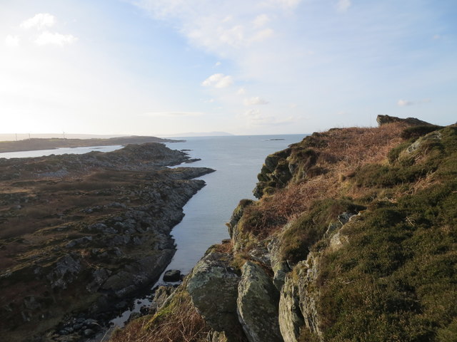
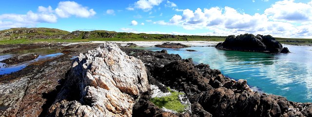
The headland itself is characterized by its rugged cliffs and rocky terrain, providing a dramatic backdrop to the surrounding landscape. Its elevated position offers panoramic vistas of the ocean, with the waves crashing against the rocks below. The point extends further into the sea, creating a natural barrier and offering protection to the nearby shores.
The area surrounding Am Pluc is rich in biodiversity, with a variety of flora and fauna inhabiting the cliffs and surrounding waters. Seabirds such as gannets, puffins, and guillemots can often be seen nesting on the cliffs, while seals and dolphins are known to frequent the waters.
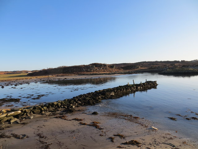
Access to Am Pluc is relatively easy, with a well-maintained trail leading to the headland. The trail, which winds through picturesque coastal scenery, offers an opportunity to appreciate the natural beauty of the area. Visitors can also explore the nearby beaches and coves, which provide opportunities for beachcombing and rock pooling.
Overall, Am Pluc is a captivating coastal feature that showcases the raw beauty of Argyllshire's rugged coastline. Whether it's the breathtaking views, diverse wildlife, or the opportunity for outdoor activities, this headland and point offer a memorable experience for anyone seeking to immerse themselves in Scotland's natural wonders.
If you have any feedback on the listing, please let us know in the comments section below.
Am Pluc Images
Images are sourced within 2km of 55.65504/-5.7659733 or Grid Reference NR6346. Thanks to Geograph Open Source API. All images are credited.
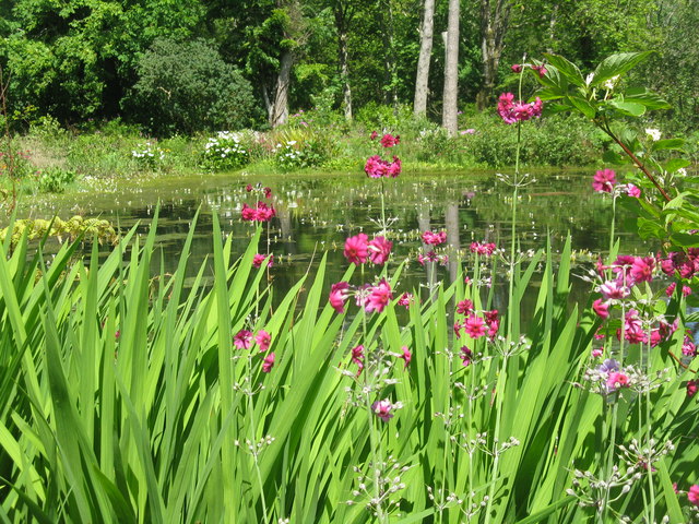
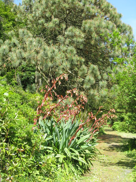
![Pond-edge plants at Achamore Garden Primula [pink] and Libertia [white flowers, of the Iris family], with a carved Otter by the pond.](https://s0.geograph.org.uk/geophotos/05/44/68/5446824_2d8ef6d8.jpg)
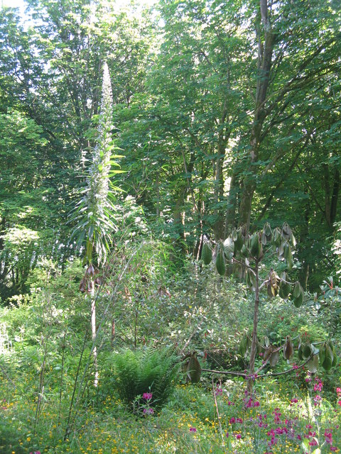
![Cabbage Tree and Giant Viper's Bugloss at Achamore Two plants [Cordyline australis, from New Zealand and Echium pininana, from the Canary Islands, resp.] that demonstrate the mildness of the Argyll climate.](https://s1.geograph.org.uk/geophotos/05/44/68/5446849_1cf8ed07.jpg)
Am Pluc is located at Grid Ref: NR6346 (Lat: 55.65504, Lng: -5.7659733)
Unitary Authority: Argyll and Bute
Police Authority: Argyll and West Dunbartonshire
What 3 Words
///scoring.cabbage.croutons. Near Craighouse, Argyll & Bute
Nearby Locations
Related Wikis

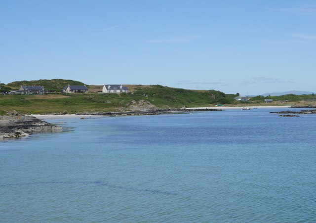
Ardminish
Ardminish (Scottish Gaelic: Aird Mhèanais) is the sole village on the Isle of Gigha in the Inner Hebrides, in Argyll and Bute, Scotland, and considered...

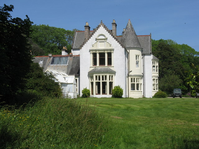
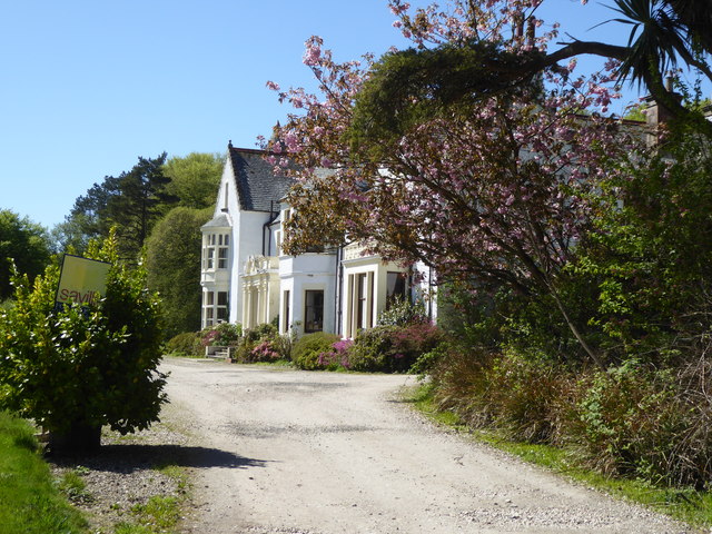
Achamore House
Achamore House is a mansion on the Isle of Gigha, Scotland. It was built in 1884 for Lt-Col William James Scarlett, and the extensive gardens were laid...

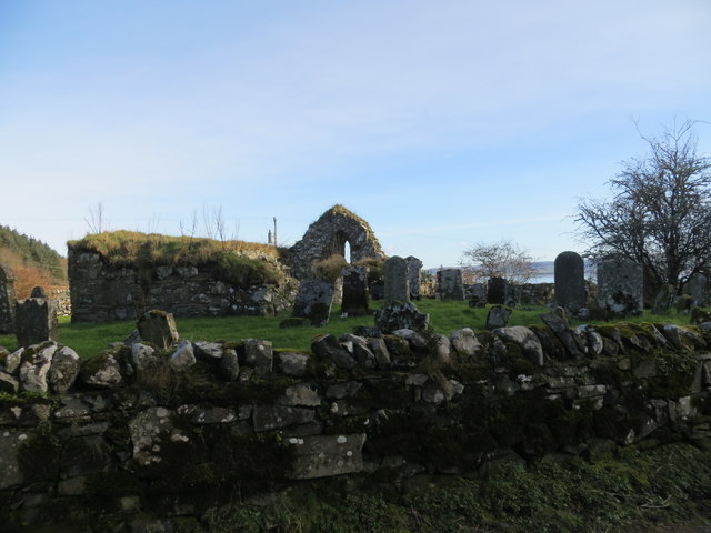
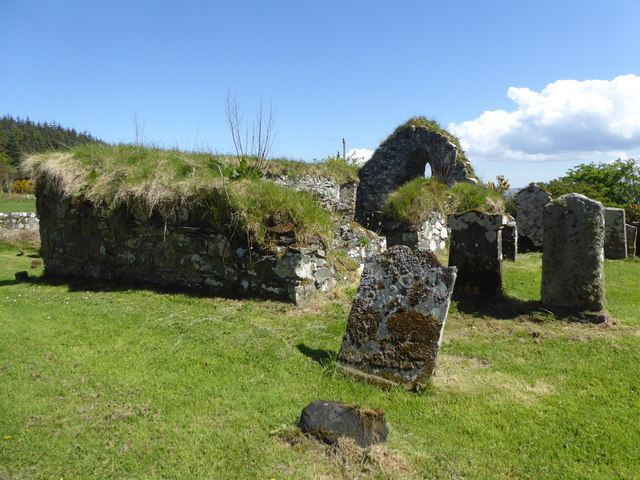
Kilchattan Chapel
Kilchattan Chapel (St Cathan's Chapel) is a ruined medieval chapel near Ardminish, Isle of Gigha, Argyll and Bute, Scotland. Built in the 13th century...

St Fionnlagh's Chapel
St Fionnlagh's Chapel (St Finla's Chapel) is a ruined medieval chapel on Cara Island, Argyll and Bute, Scotland. First recorded in the 15th century, the...
Cara Island
Cara Island (Scottish Gaelic: Cara) is a small island which is located off the west coast of Kintyre in Scotland. == Geography and etymology == Cara is...

Gigha
Gigha (; Scottish Gaelic: Giogha; Scots: Gigha) or the Isle of Gigha (and formerly Gigha Island) is an island off the west coast of Kintyre in Scotland...

Sound of Gigha
The Sound of Gigha is a sound between the Inner Hebridean Isle of Gigha and Kintyre. It forms part of the Atlantic Ocean. == External links ==

Tayinloan
Tayinloan (Scottish Gaelic: Taigh an Lòin, pronounced [t̪ɤj ə ˈl̪ˠɔːɲ]) is a village situated on the west coast of the Kintyre peninsula in Argyll and...
Related Videos

SAILING Islay to Gigha | WALKING Creag Bhan | Sailing Scotland
A delightful journey from Port Ellen, Islay, to the charming Ardminish Bay in Gigha proved to be a short yet incredibly enjoyable ...

Water Scarcity - Keep The Water Flowing
With drier winters, hotter summers and a rapid increase in seasonal tourism, how does Scottish Water keep drinking water ...
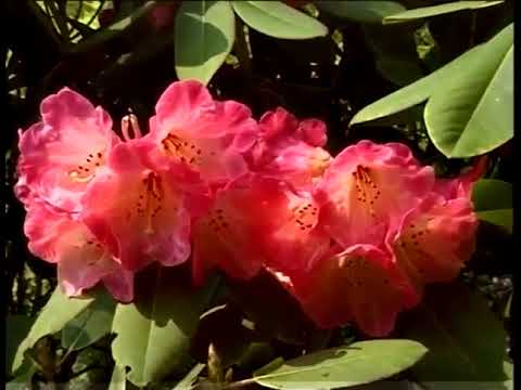
Achamore Gardens On Visit To Isle Of Gigha Off The West Coast Of Kintyre Scotland
As requested by a subscriber, Tour Scotland travel video, with Scottish music, of Achamore Gardens on visit to the Isle of Gigha off ...
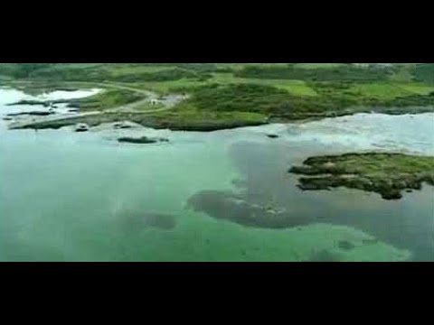
Coast And Waters On Visit To Isle of Gigha Off The West Coast Of Kintyre Scotland
Tour Scotland travel video clip, with Scottish music, of coast and waters on visit to Isle of Gigha off the West Coast Of Kintyre.
Nearby Amenities
Located within 500m of 55.65504,-5.7659733Have you been to Am Pluc?
Leave your review of Am Pluc below (or comments, questions and feedback).