Compton, Long
Settlement in Staffordshire Stafford
England
Compton, Long
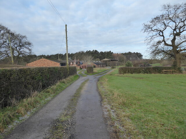
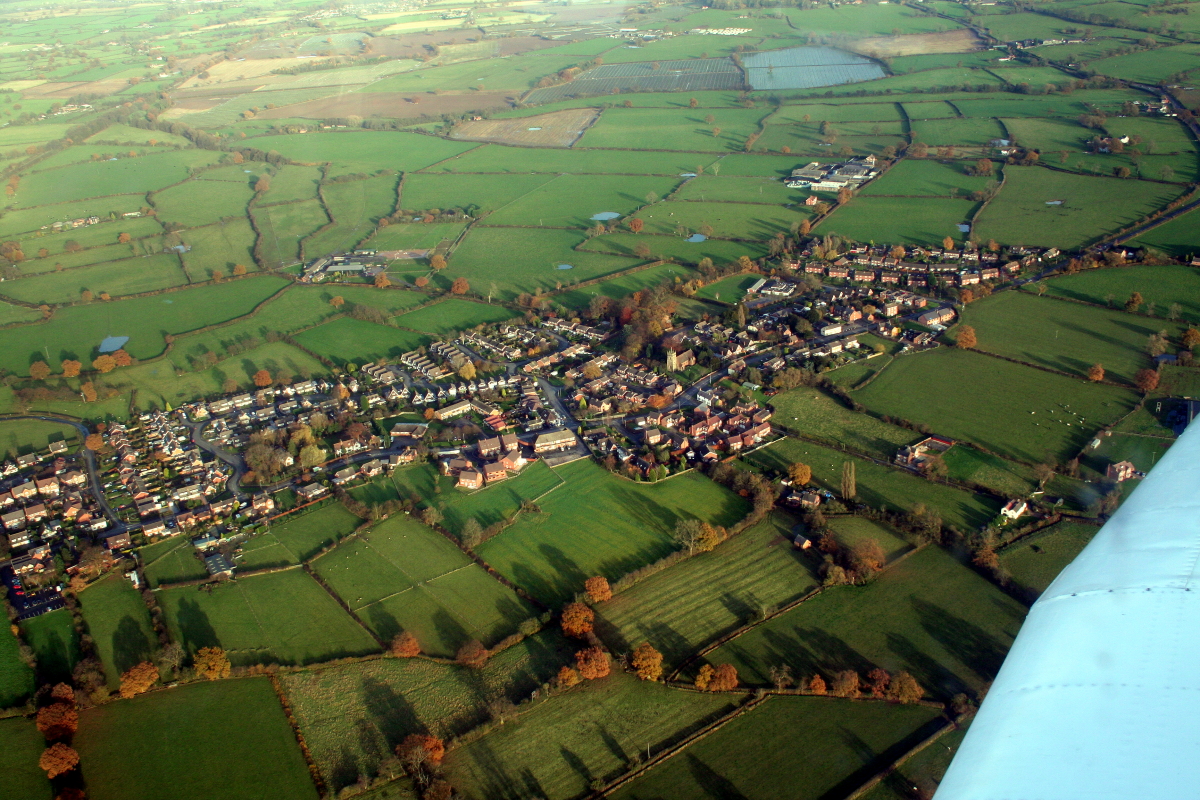
Compton, Long is a rural village located in the county of Staffordshire, England. Situated approximately 5 miles north of the county town of Stafford, it falls under the jurisdiction of the Stafford Borough Council. Compton, Long is nestled amidst the picturesque countryside, offering residents and visitors a tranquil and idyllic setting.
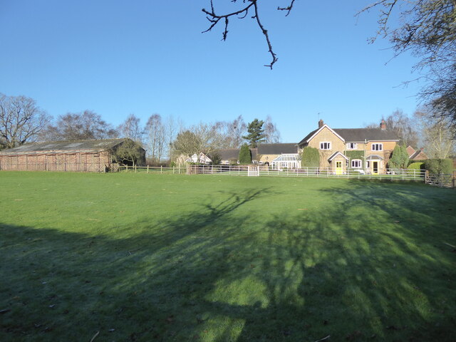
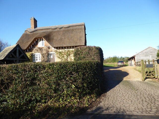
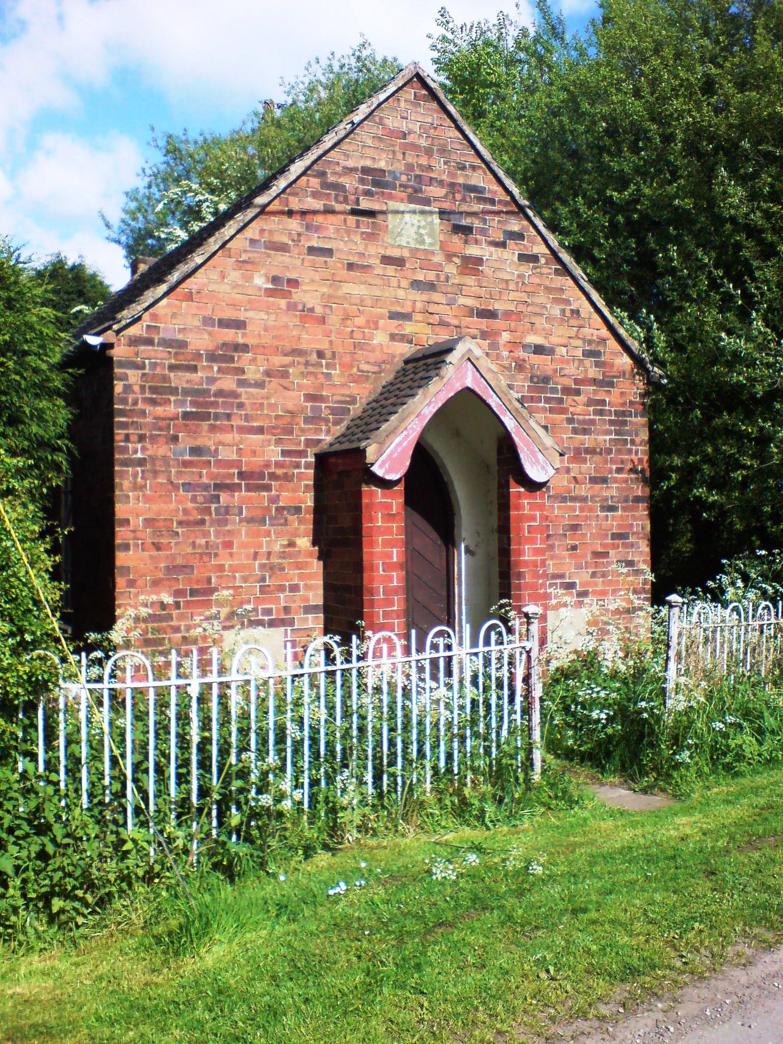
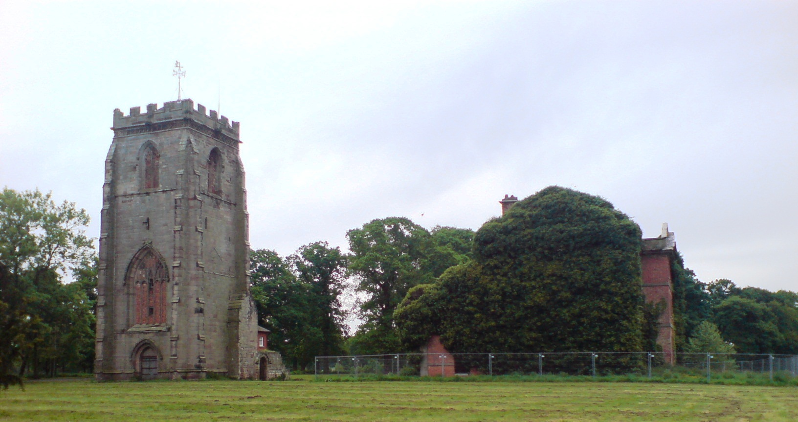
The village is known for its charming and well-preserved traditional architecture, with many of the buildings dating back several centuries. The local church, St. Mary's, is a prominent feature of the village, showcasing stunning medieval architecture and serving as a place of worship for the community.
Despite its small size, Compton, Long boasts a close-knit and friendly community. The residents take pride in maintaining the village's natural beauty, with well-tended gardens and blossoming flowers adorning the streets. The village also benefits from a strong sense of community spirit, with various events and activities organized throughout the year, including the annual village fete and charity fundraisers.
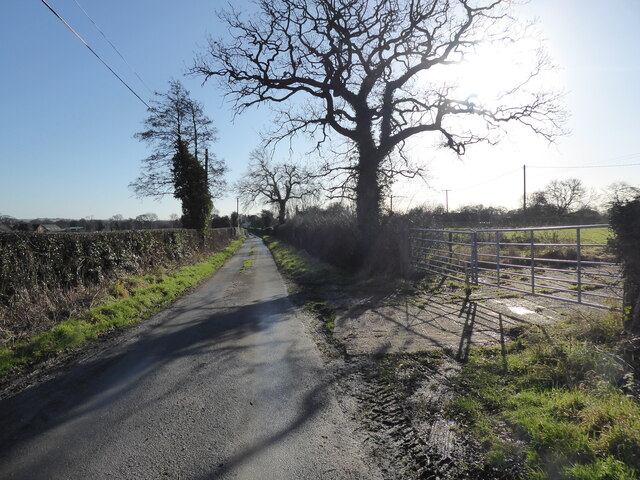
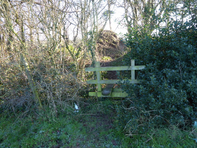
Compton, Long is surrounded by beautiful countryside, making it a haven for nature lovers and outdoor enthusiasts. The area offers numerous walking and cycling trails, allowing visitors to explore the stunning Staffordshire landscape. Additionally, the nearby Cannock Chase Area of Outstanding Natural Beauty attracts many visitors, providing opportunities for wildlife spotting, picnicking, and leisurely strolls.
While Compton, Long may lack the amenities of larger towns, its peaceful atmosphere and picturesque surroundings make it an ideal place for those seeking a quieter and more rural lifestyle. Whether it is the historical charm, natural beauty, or strong community spirit, Compton, Long offers a unique and welcoming experience for residents and visitors alike.
If you have any feedback on the listing, please let us know in the comments section below.
Compton, Long Images
Images are sourced within 2km of 52.800294/-2.213553 or Grid Reference SJ8522. Thanks to Geograph Open Source API. All images are credited.


Compton, Long is located at Grid Ref: SJ8522 (Lat: 52.800294, Lng: -2.213553)
Administrative County: Staffordshire
District: Stafford
Police Authority: Staffordshire
What 3 Words
///campfires.populate.desks. Near Gnosall, Staffordshire
Nearby Locations
Related Wikis

Ranton Green
Ranton Green is a small village in Staffordshire about a mile southwest of Ranton, Staffordshire and a mile northeast of Gnosall. It consists of a few...

Haughton railway station
Haughton railway station was a station in Haughton, Staffordshire, England. The station was opened on 1 June 1849 and closed in May 1949. == References... ==
Coton Clanford
Coton Clanford is a small dispersed Staffordshire village lying in gently rolling countryside 3 miles due west of Stafford, England, and 1 mile southeast...

Ranton, Staffordshire
Ranton is a small hamlet in Staffordshire, England, situated 3.5 miles (5.6 km) west of Stafford, 2.5 miles (4.0 km) east of Woodseaves and 2 miles (3...
Haughton, Staffordshire
Haughton is a village in Staffordshire, England, approximately 4 miles outside and to the west of the county town of Stafford. It lies on the A518 between...
Brazenhill
Brazenhill is rural area immediately north of the village of Haughton in Staffordshire, England. It is effectively defined by Brazenhill Lane which is...

Abbey House, Ranton
Abbey House is an early 19th-century ruined stately home in Ranton, Staffordshire, England. == History == The red-brick Regency house was built in 1820...
Ranton Abbey
Ranton Abbey or Ranton Priory was an Augustinian Priory in Ranton, Staffordshire, England, built c.1150 by Robert fitz Noel of Ellenhall. The priory flourished...
Related Videos

Walking The Stafford to Newport Greenway (1) Stafford to Haughton
The first of three videos walking along the full length of the Stafford to Newport Greenway. Starting at Castletown in Stafford I make ...

Shropshire Union Canal - Gnosall Boat Inn to Bridge 29 Walk - in 4K
Starting at The Boat Inn in Gnosall, Staffordshire we follow the Shropshire Union Canal for about 2 miles until we get to bridge 29, ...
Walk out with cooper 🐕
Walk around the local area in gnosall with cooper.

Christmas Lights In Haughton near Stafford
Haughton Christmas lights.
Nearby Amenities
Located within 500m of 52.800294,-2.213553Have you been to Compton, Long?
Leave your review of Compton, Long below (or comments, questions and feedback).