An Carraigean
Coastal Feature, Headland, Point in Argyllshire
Scotland
An Carraigean
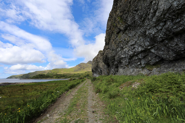
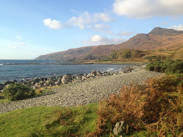
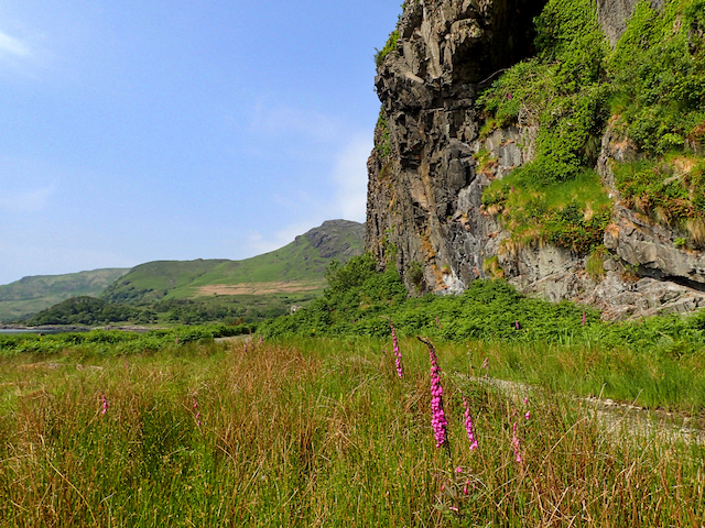
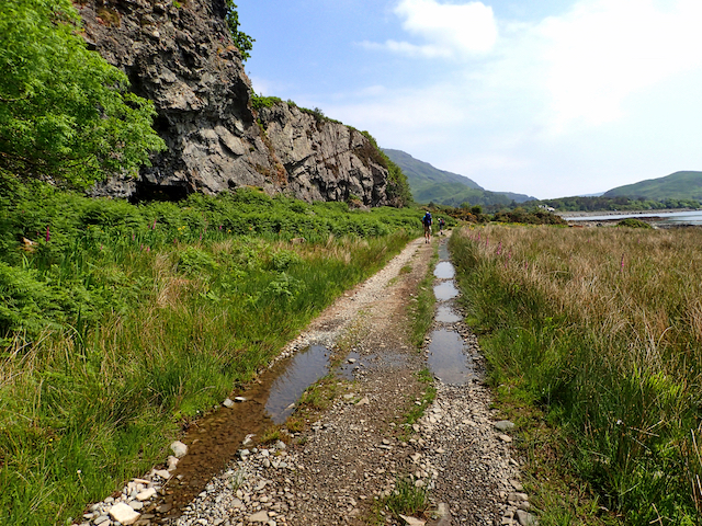
An Carraigean is a prominent coastal feature located in Argyllshire, Scotland. Situated on the western coast, it is a headland that juts out into the Atlantic Ocean, forming a distinctive point. The name "An Carraigean" translates to "The Rock" in English, which aptly describes the rugged and rocky nature of this landform.
The headland is characterized by steep cliffs that tower over the surrounding coastline, providing breathtaking views of the ocean and the surrounding landscape. These cliffs are composed of a variety of rock formations, including sandstone and granite, which have been shaped by the relentless force of the waves crashing against them.
An Carraigean is known for its diverse wildlife, with numerous seabirds nesting on the cliff faces, including puffins, guillemots, and razorbills. The surrounding waters are home to various marine species, such as seals and dolphins, which can often be spotted swimming near the headland.
The area around An Carraigean also boasts a rich history, with evidence of human habitation dating back thousands of years. There are ancient ruins and archaeological sites in the vicinity, indicating that this headland has been an important location for human activity throughout the ages.
Due to its striking natural beauty and historical significance, An Carraigean attracts visitors from around the world who come to admire its dramatic cliffs, observe the abundant wildlife, and explore the surrounding archaeological sites. It is a must-visit destination for nature enthusiasts, history buffs, and anyone seeking a picturesque and awe-inspiring coastal experience.
If you have any feedback on the listing, please let us know in the comments section below.
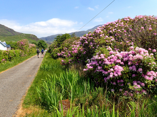
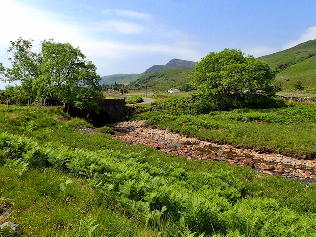
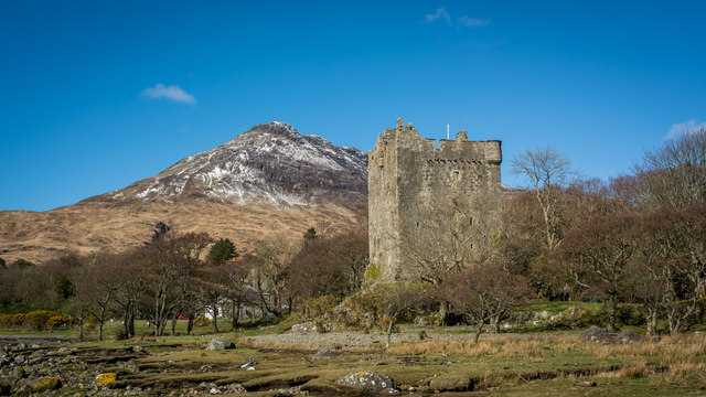
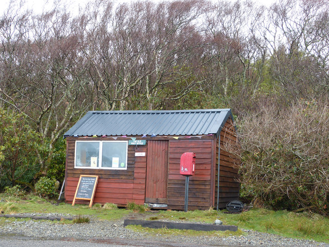
An Carraigean Images
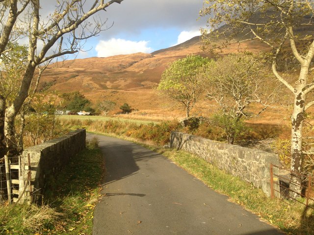
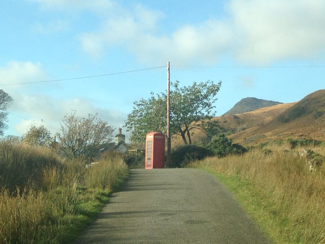
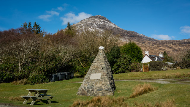
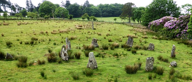
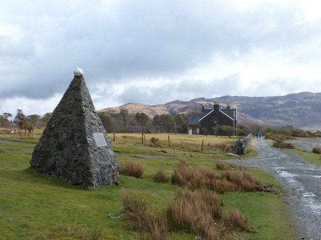
Images are sourced within 2km of 56.351032/-5.8727624 or Grid Reference NM6024. Thanks to Geograph Open Source API. All images are credited.


An Carraigean is located at Grid Ref: NM6024 (Lat: 56.351032, Lng: -5.8727624)
Unitary Authority: Argyll and Bute
Police Authority: Argyll and West Dunbartonshire
What 3 Words
///neck.native.inspects. Near Lochbuie, Argyll & Bute
Nearby Locations
Related Wikis

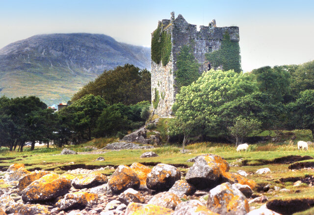
Moy Castle
Moy Castle is a ruined castle near Lochbuie on the Isle of Mull, Scotland. The site is now a scheduled monument. == History == The land upon which Moy...

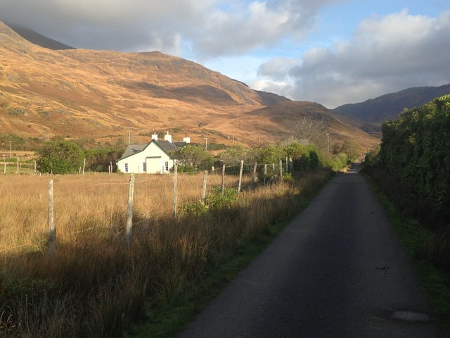
Lochbuie, Mull
Lochbuie (Scottish Gaelic: Locha Buidhe, meaning "yellow loch") is a settlement on the Isle of Mull in Scotland about 22 kilometres (14 mi) west of Craignure...

Loch Buie
Loch Buie (Scottish Gaelic: Locha Buidhe, meaning "yellow loch") is a sea loch on the south coast of the Isle of Mull, off the west coast of Scotland....

Ben Buie
Ben Buie (717 m) is a mountain in the south of the Isle of Mull, Scotland. A rocky mountain, it has steep and rugged slopes, especially on its eastern...
Nearby Amenities
Located within 500m of 56.351032,-5.8727624Have you been to An Carraigean?
Leave your review of An Carraigean below (or comments, questions and feedback).