Geodha Foitealar
Coastal Feature, Headland, Point in Ross-shire
Scotland
Geodha Foitealar
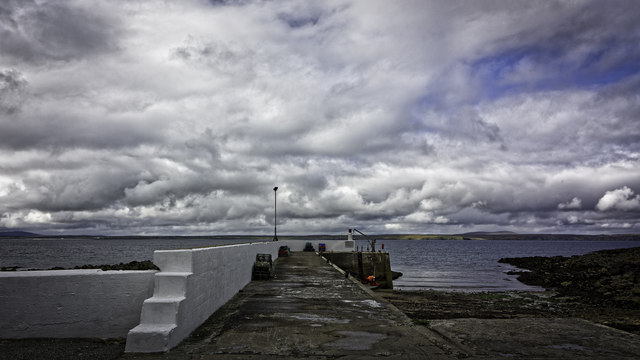
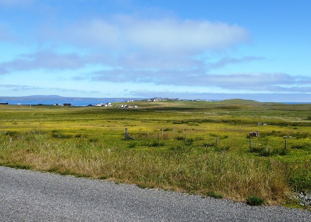
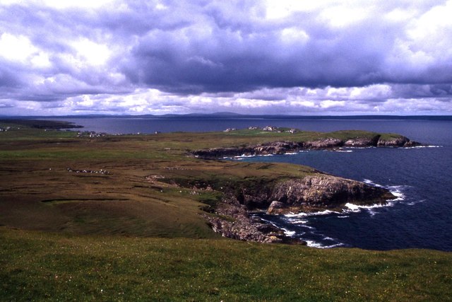
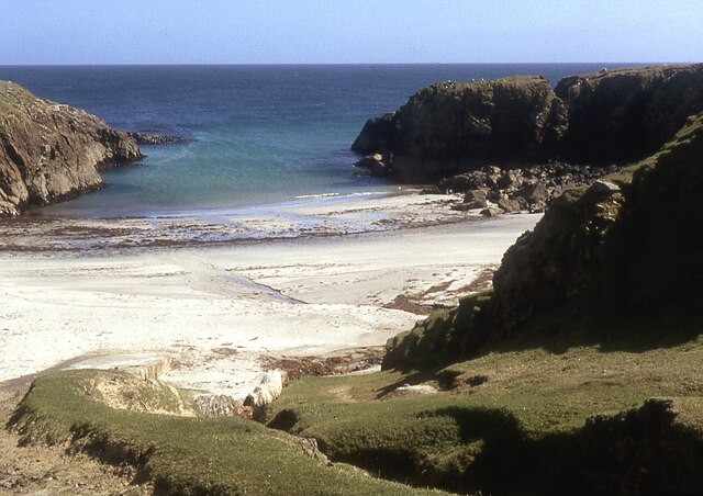
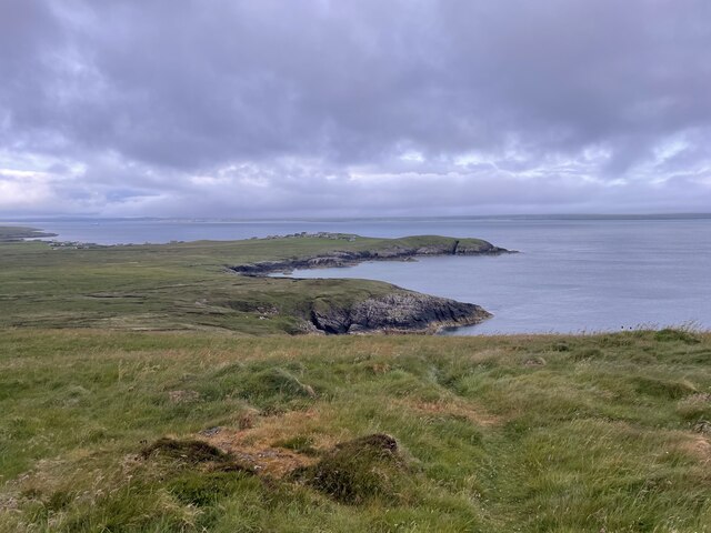
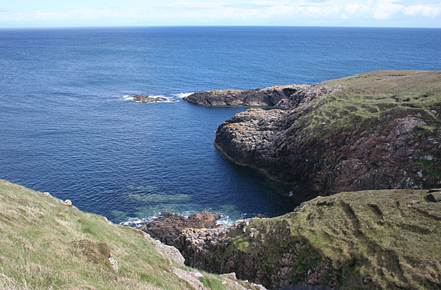
Geodha Foitealar, also known as Foitealar Bay, is a stunning coastal feature located in Ross-shire, Scotland. It is a headland situated on the northern coast of the Scottish Highlands, near the town of Ullapool. With its rugged cliffs and breathtaking views, Geodha Foitealar is a popular destination for nature enthusiasts and hikers.
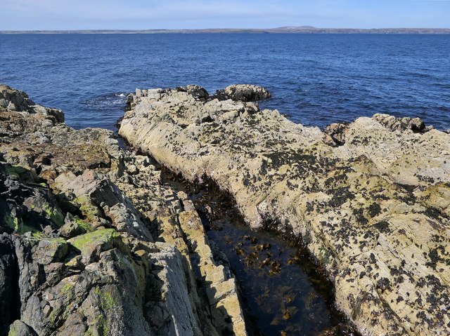
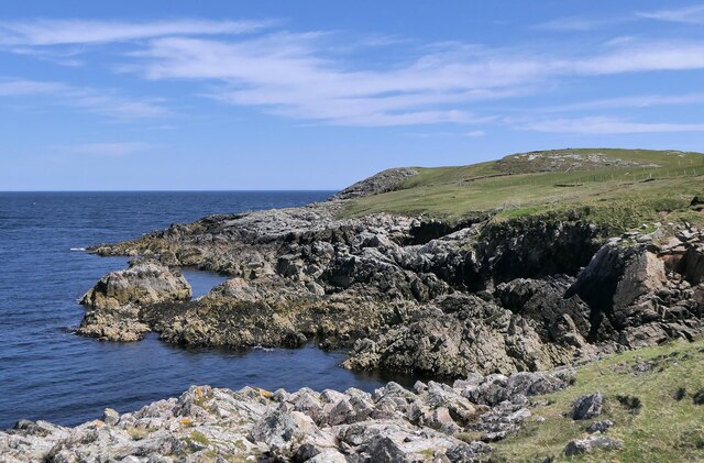
This headland is characterized by its rocky terrain, formed by millions of years of erosion caused by the relentless force of the North Atlantic Ocean. The dramatic cliffs, reaching heights of over 100 feet, provide a nesting site for a variety of seabirds, including fulmars, kittiwakes, and guillemots. Visitors can witness these magnificent creatures in their natural habitat, soaring above the churning waves.
Geodha Foitealar offers visitors the opportunity to explore its unique geological formations. The headland features several sea caves, carved out by the ceaseless pounding of the waves. These caves provide a glimpse into the area's rich history, as they have been used by humans for shelter for thousands of years. Exploring these caves, one can discover ancient artifacts and evidence of human habitation.
The headland is also a fantastic vantage point for panoramic views. Standing on the edge of Geodha Foitealar, one can gaze out at the vast expanse of the ocean, with the Scottish Highlands serving as a majestic backdrop. The rugged beauty of this coastal feature truly captivates the senses and leaves visitors with a lasting impression.
In conclusion, Geodha Foitealar is a remarkable headland on the northern coast of Ross-shire, Scotland. Its stunning cliffs, sea caves, and breathtaking views make it a must-visit destination for nature lovers and those seeking a unique and awe-inspiring coastal experience.
If you have any feedback on the listing, please let us know in the comments section below.
Geodha Foitealar Images
Images are sourced within 2km of 58.25062/-6.1414779 or Grid Reference NB5736. Thanks to Geograph Open Source API. All images are credited.
Geodha Foitealar is located at Grid Ref: NB5736 (Lat: 58.25062, Lng: -6.1414779)
Unitary Authority: Na h-Eileanan an Iar
Police Authority: Highlands and Islands
What 3 Words
///responds.irritate.primed. Near North Tolsta, Na h-Eileanan Siar
Related Wikis

Portvoller
Portvoller (Scottish Gaelic: Port Mholair) is a small village on the north tip of the Eye Peninsula (which along with Melbost and Parkend makes up Point...

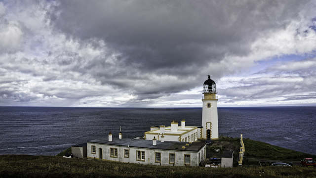
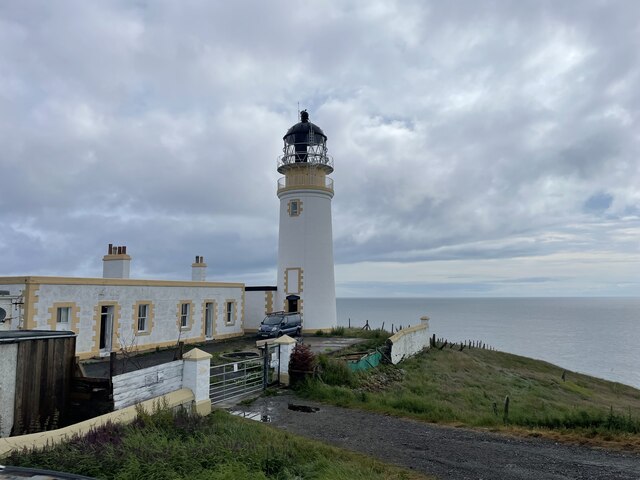
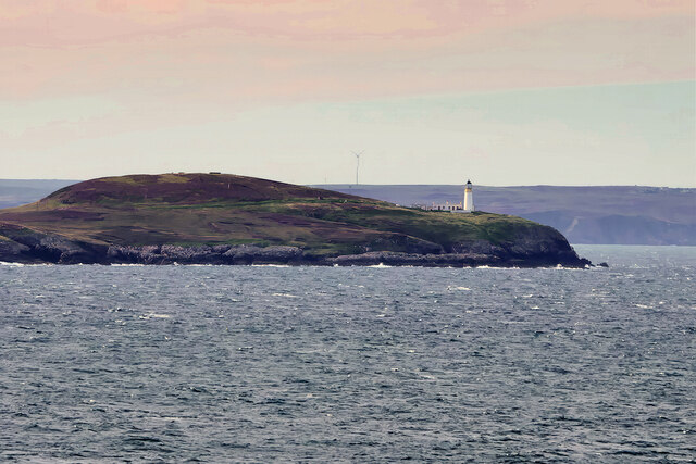
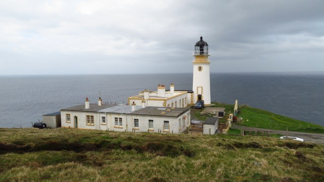
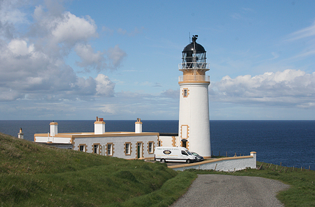
Tiumpan Head Lighthouse
The Tiumpan Head Lighthouse is an active lighthouse located in Tiumpan Head, Isle of Lewis, Outer Hebrides, Scotland. == History == The idea for the Tiumpan...

Broker, Lewis
Broker (Scottish Gaelic: Brocair) is a small hamlet next to the village of Portvoller and Portnaguran on the Eye Peninsula located on the east side of...

Aird, Lewis
Aird (Scottish Gaelic: Àird an Rubha) is a village in the Scottish council area of Eileanan Siar (Western Isles). It is located on the Eye Peninsula on...
Nearby Amenities
Located within 500m of 58.25062,-6.1414779Have you been to Geodha Foitealar?
Leave your review of Geodha Foitealar below (or comments, questions and feedback).