Làraich nam Bonnan Dubha
Coastal Feature, Headland, Point in Ross-shire
Scotland
Làraich nam Bonnan Dubha
The requested URL returned error: 429 Too Many Requests
If you have any feedback on the listing, please let us know in the comments section below.
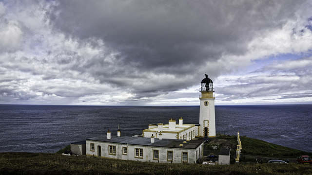
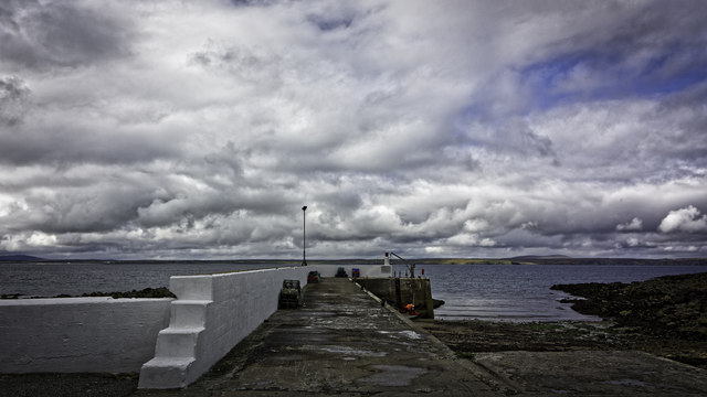
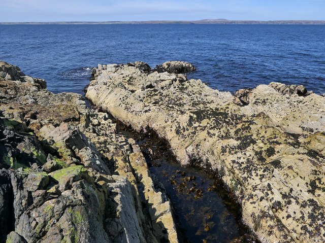
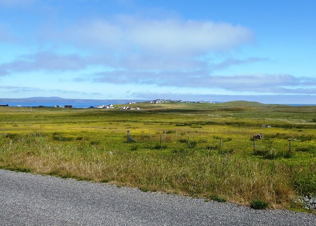
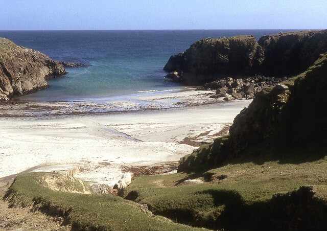
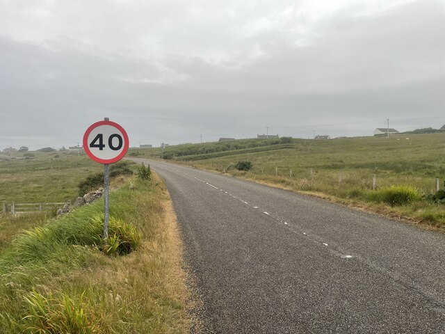
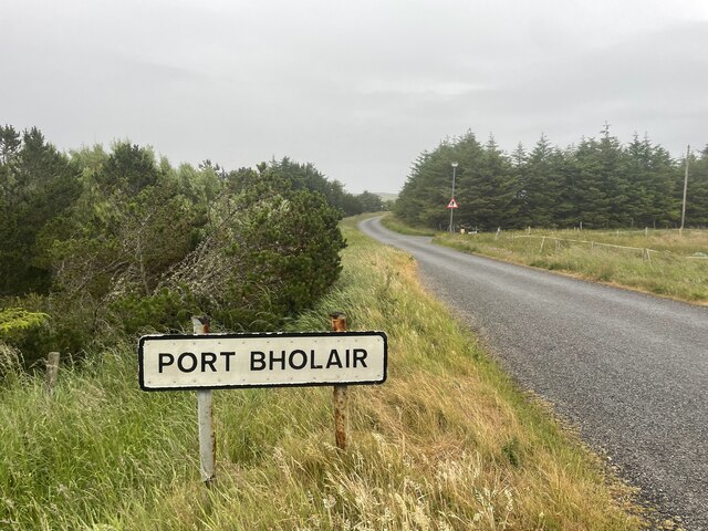
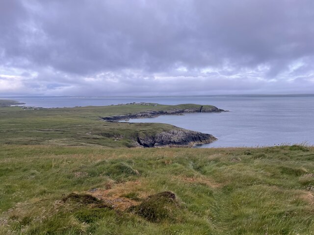
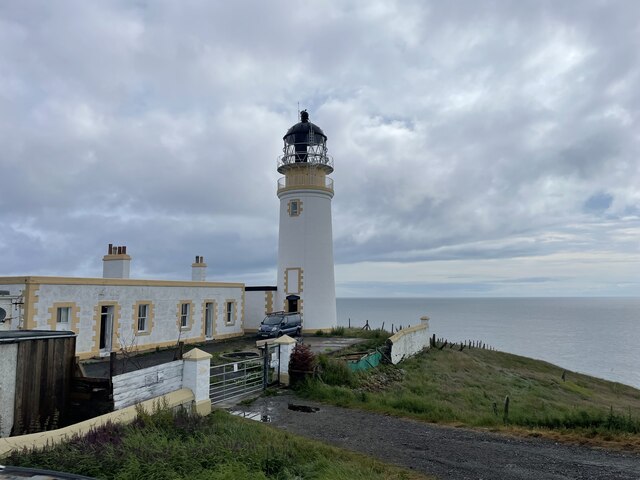
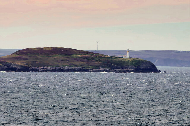
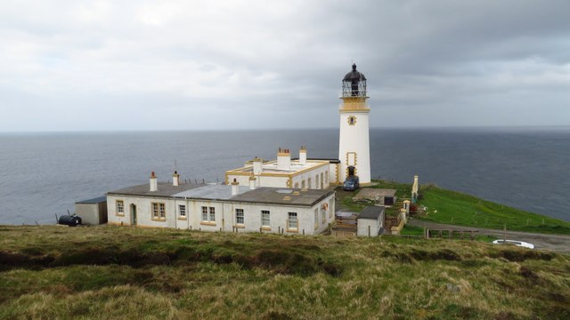
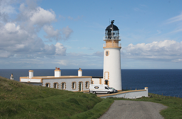
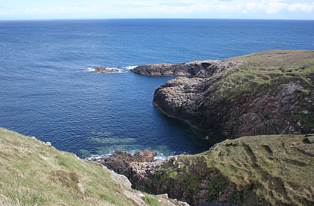
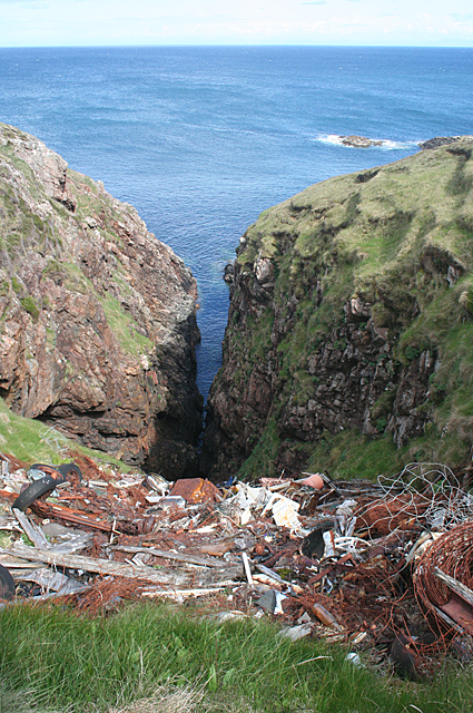
Làraich nam Bonnan Dubha Images
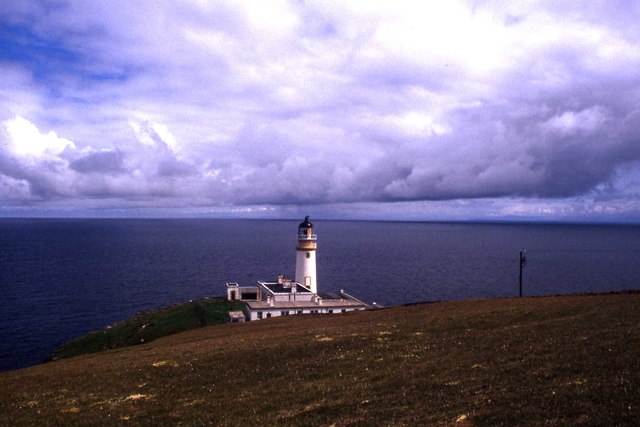
Images are sourced within 2km of 58.250526/-6.1399319 or Grid Reference NB5736. Thanks to Geograph Open Source API. All images are credited.
Làraich nam Bonnan Dubha is located at Grid Ref: NB5736 (Lat: 58.250526, Lng: -6.1399319)
Unitary Authority: Na h-Eileanan an Iar
Police Authority: Highlands and Islands
What 3 Words
///headline.vandalism.donation. Near North Tolsta, Na h-Eileanan Siar
Related Wikis

Portvoller
Portvoller (Scottish Gaelic: Port Mholair) is a small village on the north tip of the Eye Peninsula (which along with Melbost and Parkend makes up Point...

Tiumpan Head Lighthouse
The Tiumpan Head Lighthouse is an active lighthouse located in Tiumpan Head, Isle of Lewis, Outer Hebrides, Scotland. == History == The idea for the Tiumpan...

Broker, Lewis
Broker (Scottish Gaelic: Brocair) is a small hamlet next to the village of Portvoller and Portnaguran on the Eye Peninsula located on the east side of...

Aird, Lewis
Aird (Scottish Gaelic: Àird an Rubha) is a village in the Scottish council area of Eileanan Siar (Western Isles). It is located on the Eye Peninsula on...
Nearby Amenities
Located within 500m of 58.250526,-6.1399319Have you been to Làraich nam Bonnan Dubha?
Leave your review of Làraich nam Bonnan Dubha below (or comments, questions and feedback).