Sgeir na Muic-mara

Coastal Feature, Headland, Point in Argyllshire

Scotland

Sgeir na Muic-mara

Valley of Allt Fearna Mor
Valley of Allt Fearna Mor Credit: Alan Reid

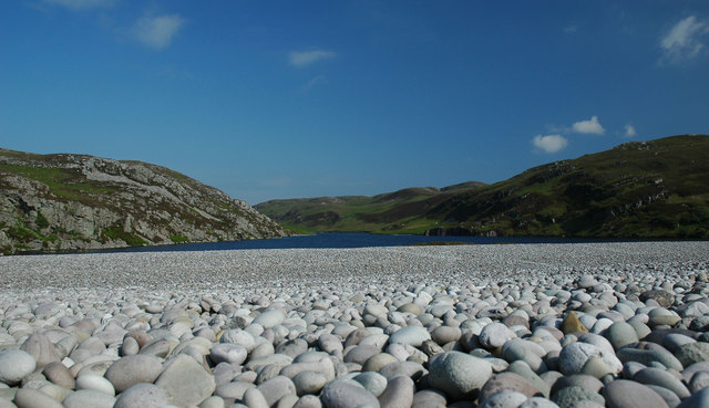
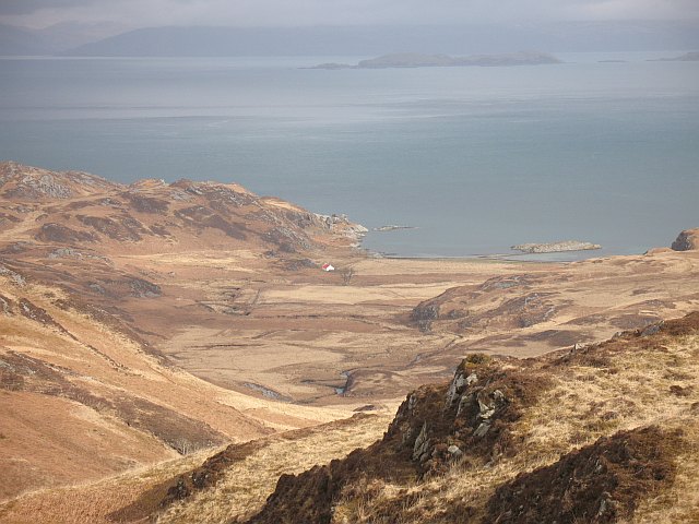
Sgeir na Muic-mara, also known as the Pig Rock, is a coastal feature located in Argyllshire, Scotland. It is a prominent headland and point that juts out into the Atlantic Ocean. The name Sgeir na Muic-mara translates to "rock of the sea-pig" in Gaelic, which is derived from the shape of the rock resembling a pig.

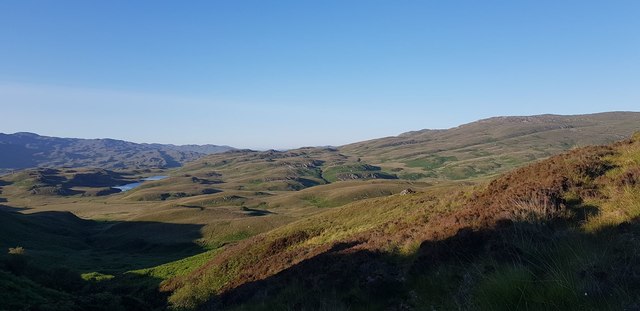
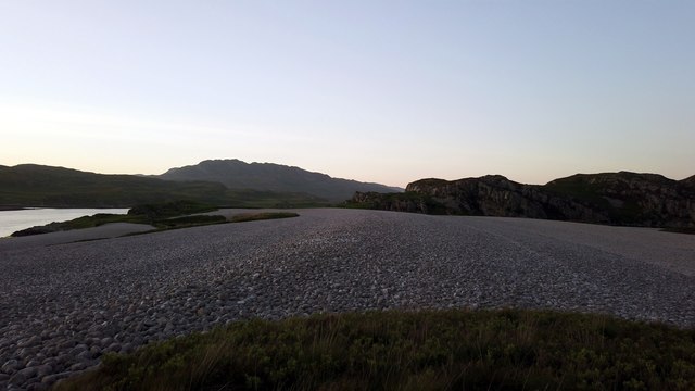
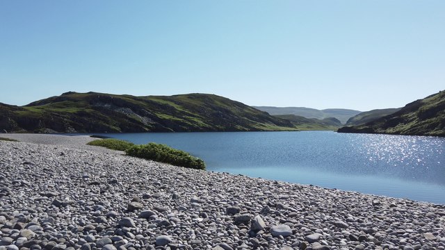
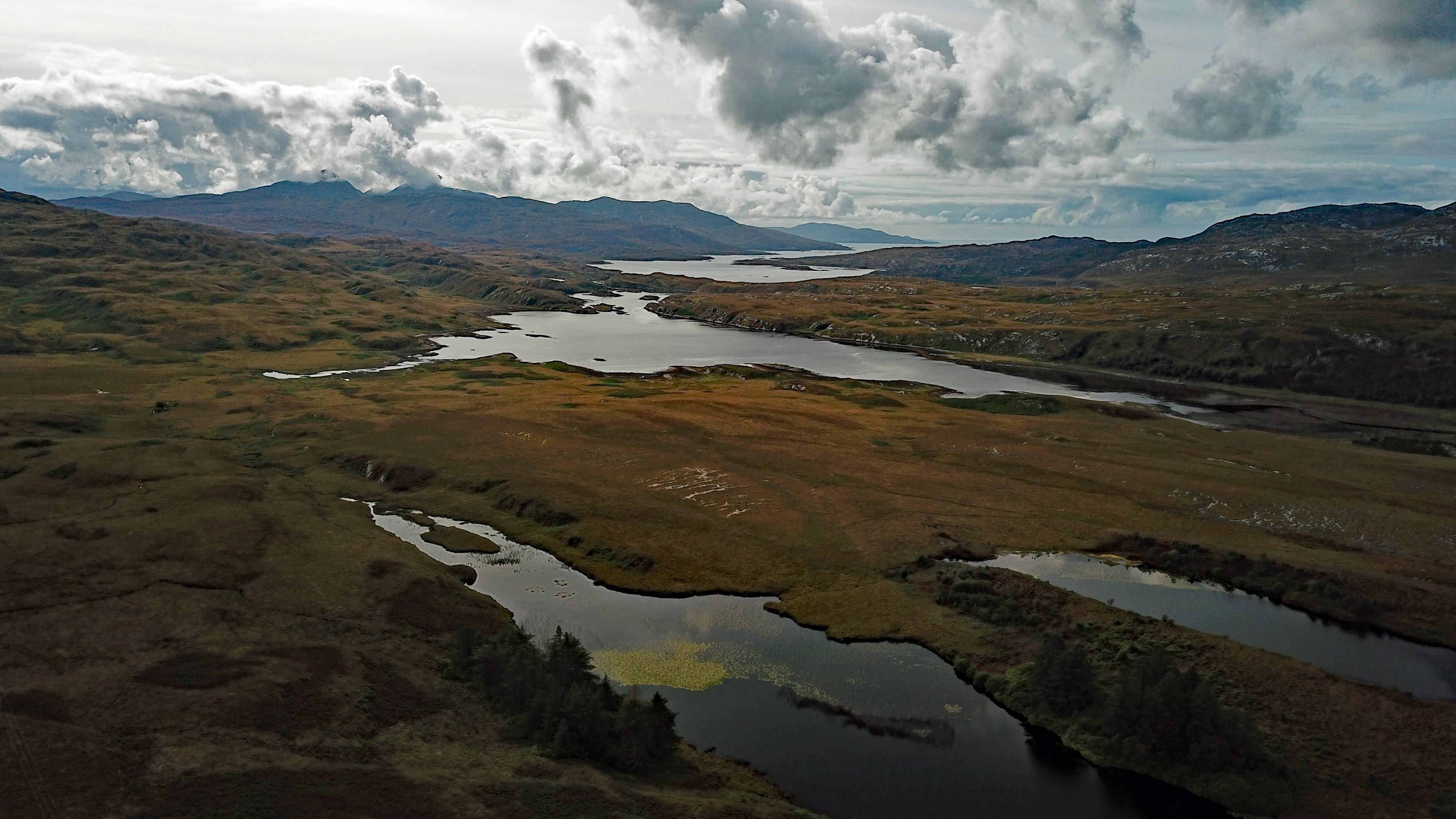
This coastal feature is characterized by its rugged and rocky terrain, with cliffs that reach up to 30 meters in height. It is situated in a remote and untouched area, offering breathtaking views of the surrounding seascape and the nearby islands of Islay and Jura.

Sgeir na Muic-mara is also renowned for its abundant wildlife. The surrounding waters are home to a diverse range of marine life, including seals, dolphins, and various species of seabirds. The area is a popular spot for birdwatching enthusiasts, who flock to observe the numerous seabird colonies that nest on the cliffs.

This coastal feature also holds historical significance. It is believed to have been a navigational marker for sailors and fishermen in centuries past. The rock's distinctive shape made it easily identifiable from a distance, helping to guide ships along the treacherous coastline.

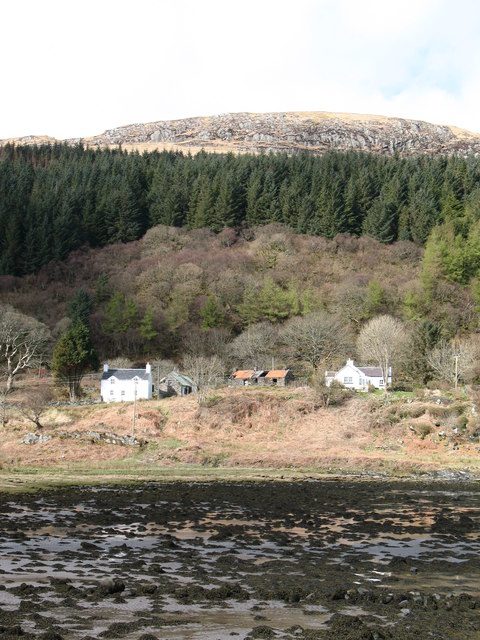
Today, Sgeir na Muic-mara continues to attract visitors who are drawn to its natural beauty and tranquility. It offers opportunities for coastal walks, photography, and exploration of the nearby rocky shores. The area is protected as part of a nature reserve, ensuring its preservation and safeguarding its unique ecosystem for future generations to enjoy.

If you have any feedback on the listing, please let us know in the comments section below.

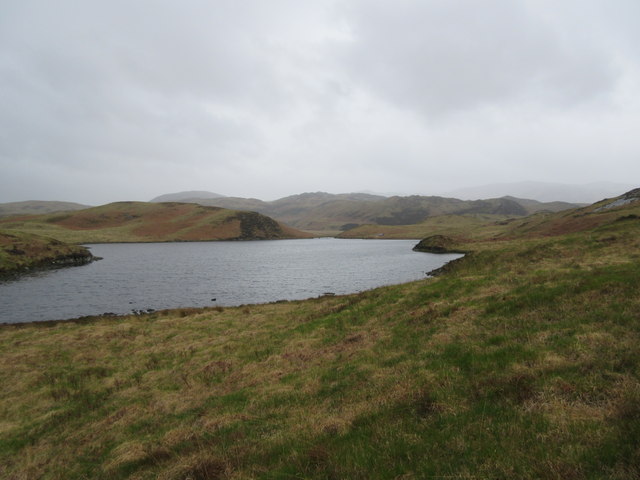
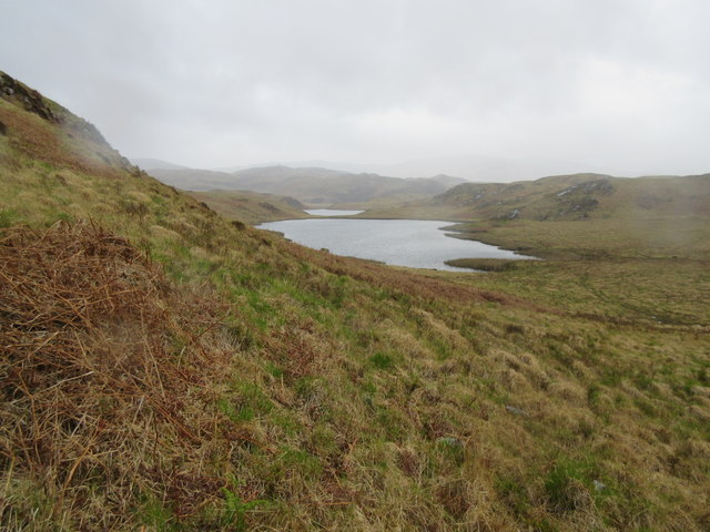
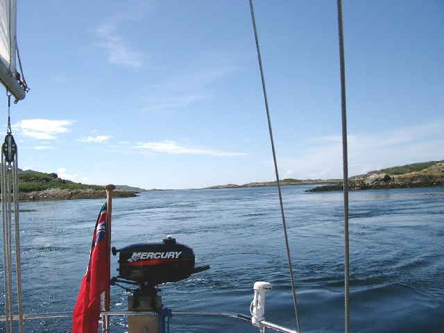
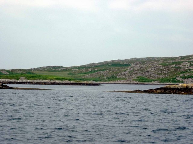
Sgeir na Muic-mara Images

Images are sourced within 2km of 55.962342/-5.9040321 or Grid Reference NR5681. Thanks to Geograph Open Source API. All images are credited.

Valley of Allt Fearna Mor
The navigable channel of Loch Tarbert
On the shore of Loch Tarbert
Barren view of north Jura Very rugged landscape. Further up the hill to the west, you could see the hills of the Isle of Mull peeping out from the top of the cascade of hills shown in the centre.
Barren view of north Jura
Very rugged landscape. Further up the hill to the west, you could see the hills of the Isle of Mull peeping out from the top of the cascade of hills shown in the centre.
Raised beach A raised beach at late evening. In the background, you can see the hill named Cruib - which resides on the northern half of Jura.
Raised beach
A raised beach at late evening. In the background, you can see the hill named Cruib - which resides on the northern half of Jura.
Lochan Maol an t-Sornaich from raised beach Looking out towards Lochan Maol an t-Sornaich from the raised beach that we camped on. This was in the mid-morning.
Lochan Maol an t-Sornaich from raised beach
Looking out towards Lochan Maol an t-Sornaich from the raised beach that we camped on. This was in the mid-morning.
Tents on the beach near Cruib Lodge The temporary campsite was set up for the Schools Hebridean Society <span class="nowrap"><a title="http://www.schools-hebridean-society.co.uk" rel="nofollow ugc noopener" href="http://www.schools-hebridean-society.co.uk">Link</a><img style="margin-left:2px;" alt="External link" title="External link - shift click to open in new window" src="https://s1.geograph.org.uk/img/external.png" width="10" height="10"/></span> expedition in 1973. The exact location of photographer is an estimate as it was a long time ago!
Tents on the beach near Cruib Lodge
The temporary campsite was set up for the Schools Hebridean Society LinkExternal link expedition in 1973. The exact location of photographer is an estimate as it was a long time ago!
Cruib Bothy Cruib Bothy, formerly known as Cruib Lodge, and marked as such on OS maps, belongs to the Ruantallain Estate, but is maintained as an unlocked bothy, free for anyone to use, by the Mountain Bothies Association (MBA).  The MBA assumed responsibility for it in 2012, and it was extensively refurbished at that time, as can be seen by comparing this photograph with the one taken by Gordon Brown in 2006.
Cruib Bothy
Cruib Bothy, formerly known as Cruib Lodge, and marked as such on OS maps, belongs to the Ruantallain Estate, but is maintained as an unlocked bothy, free for anyone to use, by the Mountain Bothies Association (MBA). The MBA assumed responsibility for it in 2012, and it was extensively refurbished at that time, as can be seen by comparing this photograph with the one taken by Gordon Brown in 2006.
Rainy day at Lochana Tana This is the southern lochan of twin lochans (both known as Lochana Tana). It is a fishing loch and even has a boat house towards the far end.
Rainy day at Lochana Tana
This is the southern lochan of twin lochans (both known as Lochana Tana). It is a fishing loch and even has a boat house towards the far end.
Lochana Tana (north) A wet day at Lochana Tana - both of the lochans can be seen.
Lochana Tana (north)
A wet day at Lochana Tana - both of the lochans can be seen.
Loch Tarbert, Isle of Jura This narrow 'gut' called the Chumhainn Bhig (Little Strait) connects the middle loch to the passage leading to the inner loch.  You can just see two of the leading marks, beyond the cliff on the left of the picture.
Loch Tarbert, Isle of Jura
This narrow 'gut' called the Chumhainn Bhig (Little Strait) connects the middle loch to the passage leading to the inner loch. You can just see two of the leading marks, beyond the cliff on the left of the picture.
Cumhann Mor, Loch Tarbert, Jura The Cumhann Mor, or Big Strait, connects outer Loch Tarbert to the middle loch.  Careful pilotage is required.   See also the geograph of the Little Strait, Chumhainn Bhig (note the variations in Gaelic spelling).
Cumhann Mor, Loch Tarbert, Jura
The Cumhann Mor, or Big Strait, connects outer Loch Tarbert to the middle loch. Careful pilotage is required. See also the geograph of the Little Strait, Chumhainn Bhig (note the variations in Gaelic spelling).
Loch Tarbert, Jura This photo shows a pair of the leading marks, plus one other mark, for piloting a boat between middle Loch Tarbert and the inner loch.  This passage is not for the faint-hearted!
Loch Tarbert, Jura
This photo shows a pair of the leading marks, plus one other mark, for piloting a boat between middle Loch Tarbert and the inner loch. This passage is not for the faint-hearted!
Cruib Lodge, Loch Tarbert, Jura
Skerries in Middle Loch Tarbert Eilean Ard on the right, Eilean Dubh a Chumhain Mhoir on the left.
Skerries in Middle Loch Tarbert
Eilean Ard on the right, Eilean Dubh a Chumhain Mhoir on the left.
Maol an t-Sornaich Loch at top of West Loch Tarbert Raised beach
Maol an t-Sornaich
Loch at top of West Loch Tarbert Raised beach
Above Loch Tarbert Bracken covered slopes above Loch Tarbert. What looks like a river mouth across Loch Tarbert is actually the entrance to the almost completely enclosed Upper Loch Tarbert, a very safe anchorage.
Above Loch Tarbert
Bracken covered slopes above Loch Tarbert. What looks like a river mouth across Loch Tarbert is actually the entrance to the almost completely enclosed Upper Loch Tarbert, a very safe anchorage.
Heading East Above Loch Tarbert Following an 'agrocat' track down towards Garbh Uisge, with Cruib in the background
Heading East Above Loch Tarbert
Following an 'agrocat' track down towards Garbh Uisge, with Cruib in the background
Show me another place!

Sgeir na Muic-mara is located at Grid Ref: NR5681 (Lat: 55.962342, Lng: -5.9040321)

Unitary Authority: Argyll and Bute

Police Authority: Argyll and West Dunbartonshire

What 3 Words

///inhabited.blockage.stitching. Near Craighouse, Argyll & Bute

Related Wikis

Battle of the Western Isles

The Battle of the Western Isles was a series of conflicts in 1585 and 1586 on the islands of Jura, Islay, Mull and Tiree, Scotland as well as the peninsula...

Loch Tarbert, Jura

Loch Tarbert is a sea loch on the west coast of Jura, an island in Scotland. As the name Tarbert suggests, it comes close to cutting the island in half...

Lagg, Jura

Lagg is a hamlet on Lagg Bay, on the east coast of the island of Jura, in the council area of Argyll and Bute, Scotland. It is on the A846 8 miles (13...

Tarbert, Jura

Tarbert is a hamlet on Tarbert Bay, on the east coast of the island of Jura, in the council area of Argyll and Bute, Scotland. The Tarbert estate is owned...

Have you been to Sgeir na Muic-mara?

Leave your review of Sgeir na Muic-mara below (or comments, questions and feedback).