Àird na Sgitheich
Coastal Feature, Headland, Point in Argyllshire
Scotland
Àird na Sgitheich

Àird na Sgitheich is a prominent coastal feature located in Argyllshire, Scotland. Situated on the west coast of the country, it is a headland that extends into the Atlantic Ocean, forming a distinctive point along the rugged shoreline. The name "Àird na Sgitheich" translates to "Point of the Skerries" in English, referencing the numerous small rocky islets that surround the area.
This headland boasts breathtaking natural beauty and is highly regarded for its dramatic cliffs and stunning panoramic views of the sea and surrounding landscape. The rugged terrain, characterized by steep slopes and rocky outcrops, contributes to its picturesque and unspoiled charm. It serves as a popular destination for outdoor enthusiasts, hikers, and photographers who are drawn to its wild and remote atmosphere.
The coastal waters around Àird na Sgitheich are teeming with marine life, making it a haven for birdwatching and wildlife spotting. Seabirds such as gannets, fulmars, and kittiwakes can often be seen nesting on the cliffs, while seals and dolphins occasionally make appearances along the shore.
Access to Àird na Sgitheich is relatively challenging due to its remote location, with no direct road connections. However, there are hiking trails and footpaths that lead to the headland, allowing visitors to explore and appreciate its natural wonders. The absence of urban development and the untouched wilderness of Àird na Sgitheich make it a truly remarkable and captivating coastal feature in Argyllshire.
If you have any feedback on the listing, please let us know in the comments section below.
Àird na Sgitheich Images
Images are sourced within 2km of 55.94032/-6.0424162 or Grid Reference NR4779. Thanks to Geograph Open Source API. All images are credited.


Àird na Sgitheich is located at Grid Ref: NR4779 (Lat: 55.94032, Lng: -6.0424162)
Unitary Authority: Argyll and Bute
Police Authority: Argyll and West Dunbartonshire
What 3 Words
///being.bulky.river. Near Port Askaig, Argyll & Bute
Nearby Locations
Related Wikis

Beinn an Òir
Beinn an Òir (Gaelic for "mountain of gold") is the highest peak of the Paps of Jura on the island of Jura, Scotland. It is the highest peak on the island...
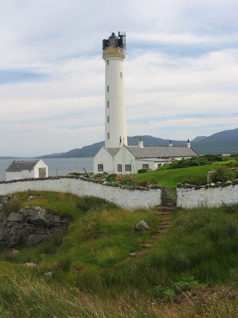
Ruvaal Lighthouse
The Ruvaal, Rhuvaal, or Rubh'a' Mhàil Lighthouse is a listed 19th-century lighthouse located at the north-eastern end of the island of Islay, in the Inner...

Beinn Shiantaidh
Beinn Shiantaidh (Scottish Gaelic for 'holy mountain') is the second highest peak of the Paps of Jura on the island of Jura, Scotland. It stands at 757...

Beinn a' Chaolais
Beinn a' Chaolais (Gaelic: mountain of the sound or strait) is the lowest peak of the Paps of Jura on the island of Jura, Scotland.It stands at 733 metres...

Paps of Jura
The Paps of Jura (Scottish Gaelic: Sgurr na Cìche) are three mountains on the western side of the island of Jura, in the Inner Hebrides of Scotland. Their...
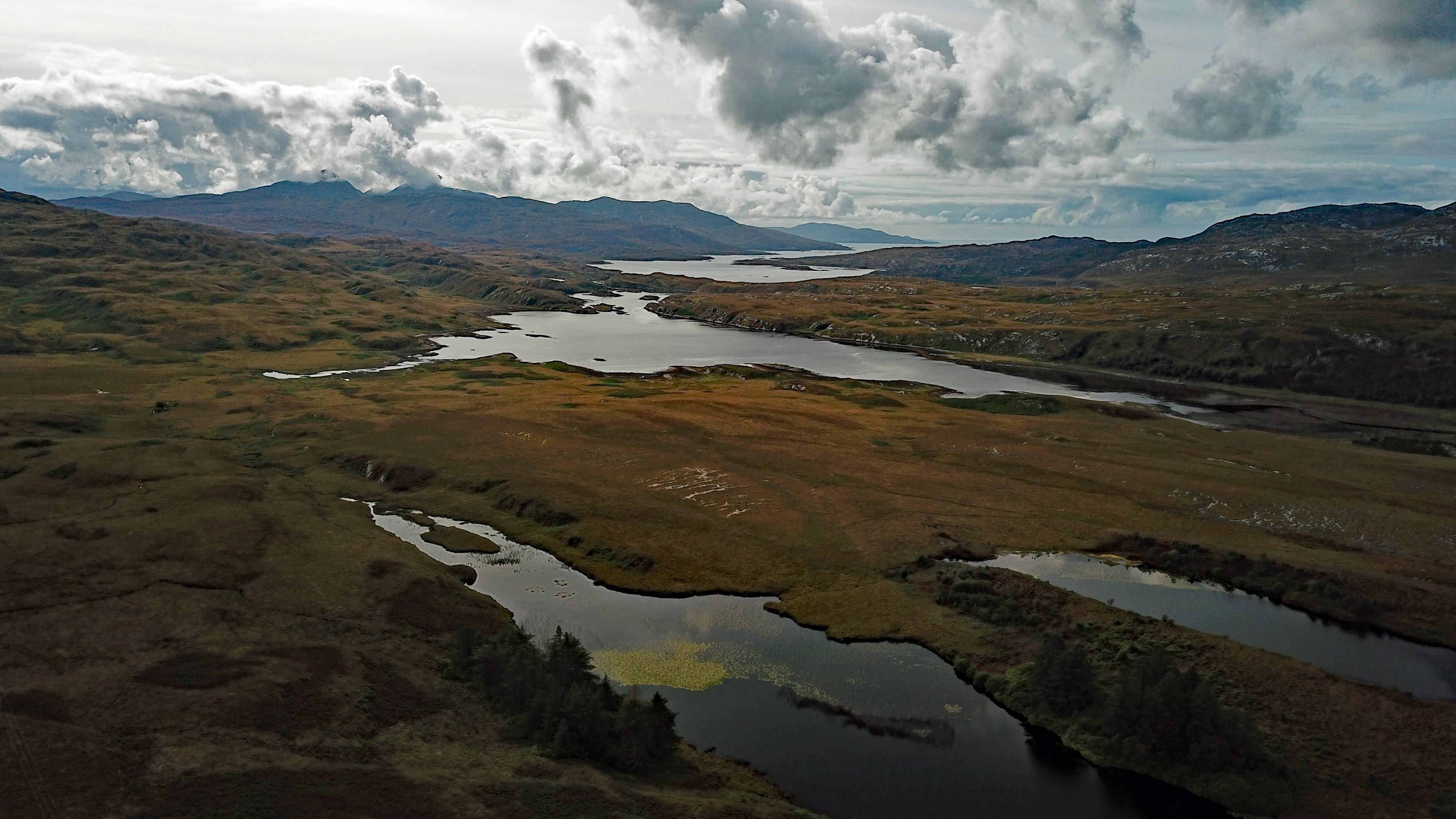
Loch Tarbert, Jura
Loch Tarbert is a sea loch on the west coast of Jura, an island in Scotland. As the name Tarbert suggests, it comes close to cutting the island in half...
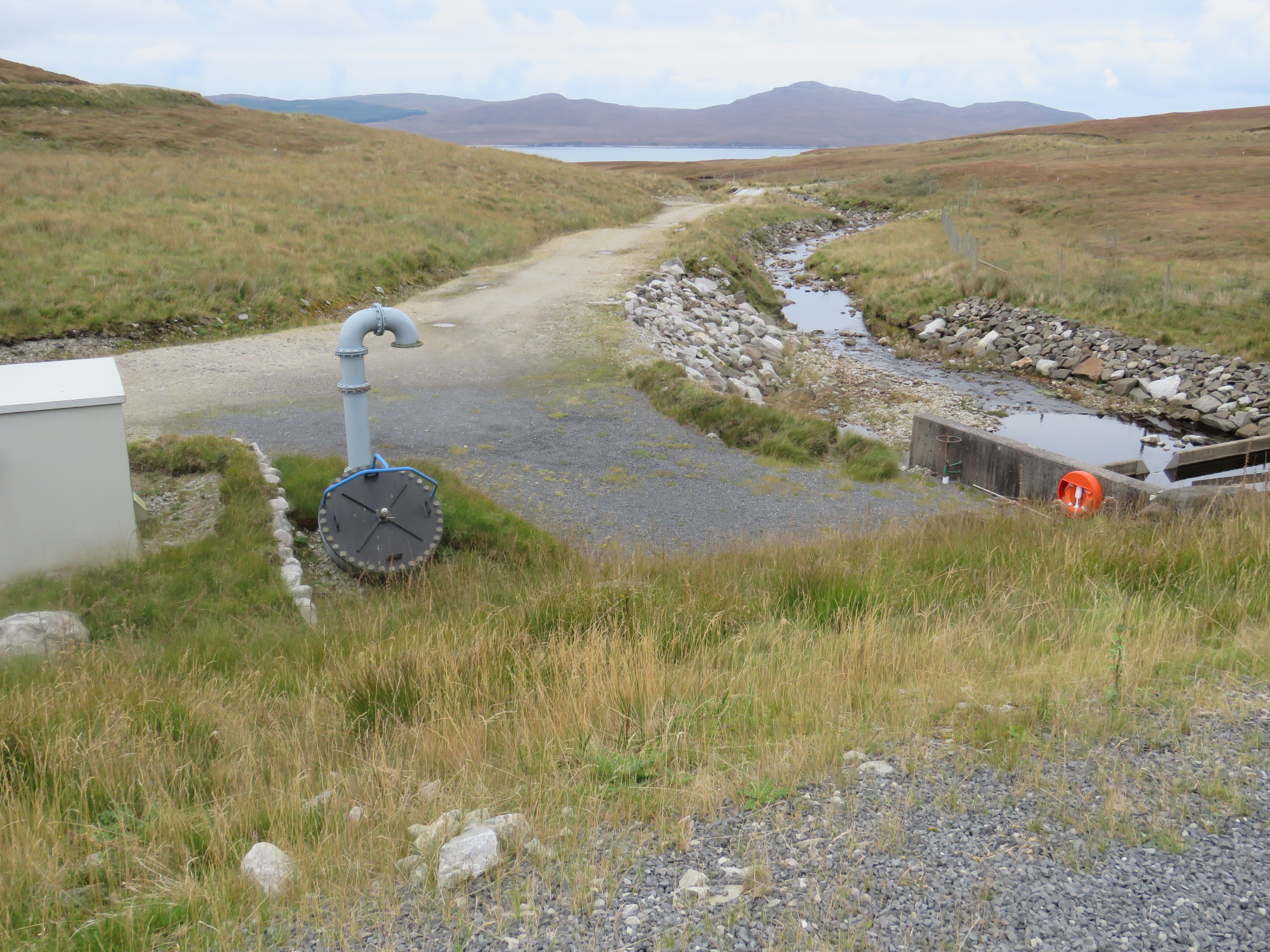
Inver Hydro-Electric Scheme
Inver Hydro-Electric Scheme is a remote hydro-electric plant on the Scottish island of Jura, part of the Inner Hebrides. Construction began in 2011, and...

Bunnahabhain distillery
Bunnahabhain distillery (Scottish Gaelic: Taigh-staile Bun na h-Abhainne, [t̪əˈs̪t̪alə punəˈhavɪɲ]) was founded in 1881 near Port Askaig on Islay. The...
Nearby Amenities
Located within 500m of 55.94032,-6.0424162Have you been to Àird na Sgitheich?
Leave your review of Àird na Sgitheich below (or comments, questions and feedback).