A' Mhanach

Coastal Feature, Headland, Point in Argyllshire

Scotland

A' Mhanach

Claggain Bay Claggain Bay with the Claggain River entering the bay.
Claggain Bay Credit: Andrew Wood

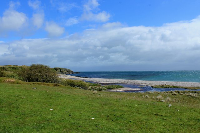
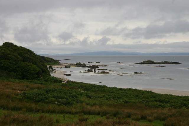
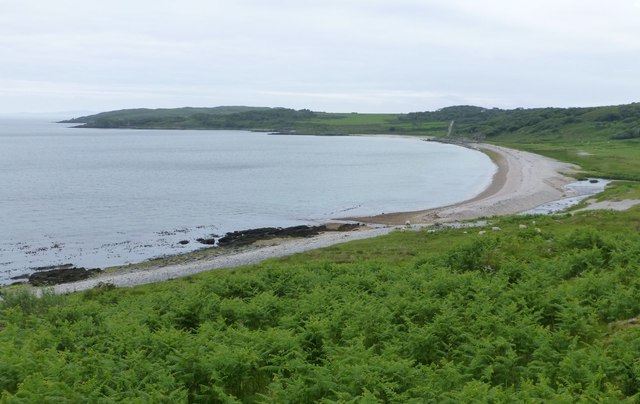
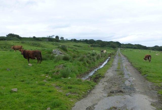
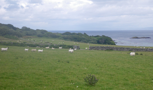
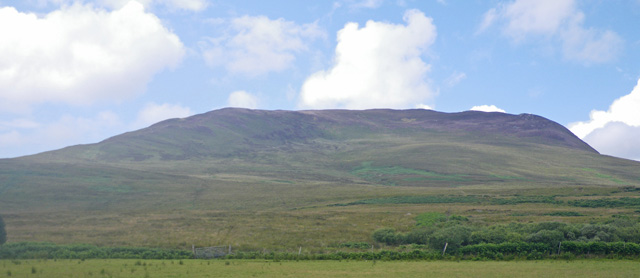
A' Mhanach is a prominent headland located in Argyllshire, Scotland. Situated on the west coast, it is a well-known coastal feature that offers breathtaking views of the surrounding landscape and the sea. The headland juts out into the Atlantic Ocean, forming a distinctive point that stands out amidst the rugged coastline.

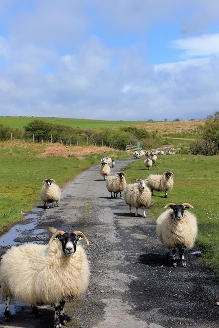
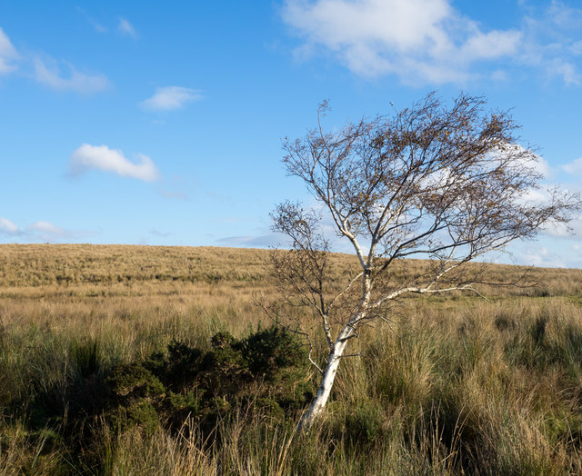
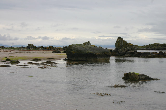
With its dramatic cliffs and rocky terrain, A' Mhanach is a popular destination for outdoor enthusiasts and nature lovers. The headland is covered in lush vegetation, including heather, grasses, and shrubs, providing a habitat for a variety of plant and animal species. The diverse flora and fauna make it an ideal spot for wildlife observation and photography.

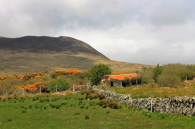
In addition to its natural beauty, A' Mhanach has historical significance. The headland is home to ancient ruins and archaeological sites, indicating human occupation dating back to prehistoric times. These relics give insight into the rich cultural heritage of the area and provide an opportunity for exploration and discovery.

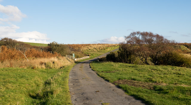
Visitors to A' Mhanach can enjoy a range of activities, including hiking, birdwatching, and photography. The headland offers several walking trails, allowing visitors to explore the rugged coastline and take in the stunning vistas. The area is also renowned for its fishing opportunities, with anglers drawn to the abundant marine life found in the surrounding waters.

Overall, A' Mhanach is a captivating coastal feature that combines natural beauty, historical significance, and recreational opportunities. Its striking cliffs, diverse wildlife, and intriguing archaeological sites make it a must-visit destination for anyone seeking to experience the raw beauty of Scotland's west coast.

If you have any feedback on the listing, please let us know in the comments section below.

A' Mhanach Images

Images are sourced within 2km of 55.724208/-6.0283582 or Grid Reference NR4755. Thanks to Geograph Open Source API. All images are credited.

Claggain Bay Claggain Bay with the Claggain River entering the bay.
Claggain Bay
Claggain Bay with the Claggain River entering the bay.
Red Roof by Ardtalla A red roofed deserted bothy by Ardtalla.
Red Roof by Ardtalla
A red roofed deserted bothy by Ardtalla.
Rush hour Sheep monopolising the road by Claggain - and why not, it's their space?
Rush hour
Sheep monopolising the road by Claggain - and why not, it's their space?
Road alongside Claggain Bay The minor road is nearing its end at Ardtalla on the east coast of Islay.
Road alongside Claggain Bay
The minor road is nearing its end at Ardtalla on the east coast of Islay.
Moorland near to Ardtalla The moorland with a lone birch tree is near to Ardtalla, a remote location at the end of a minor road on the east coast of Islay.
Moorland near to Ardtalla
The moorland with a lone birch tree is near to Ardtalla, a remote location at the end of a minor road on the east coast of Islay.
Claggain Bay Islay The first time we came here we had the pleasure of seeing three Otters frollicking on the rocks close in to the shore.
Claggain Bay Islay
The first time we came here we had the pleasure of seeing three Otters frollicking on the rocks close in to the shore.
Rocks on the shore At Claggain Bay the sand and rocks make for a varied shore, with a huge variety of shore life. We saw Otters here the first time we visited, but so far have never seen them here again.
Rocks on the shore
At Claggain Bay the sand and rocks make for a varied shore, with a huge variety of shore life. We saw Otters here the first time we visited, but so far have never seen them here again.
The beach at Claggain Bay A delightful spot, even better when the sun shines!
The beach at Claggain Bay
A delightful spot, even better when the sun shines!
Track to Ardtalla Between the cattle and sheep!
Track to Ardtalla
Between the cattle and sheep!
Beinn Bheigier from Ardtalla With Gorse scrub and an old building in the foreground.
Beinn Bheigier from Ardtalla
With Gorse scrub and an old building in the foreground.
Coastal sheep pasture The exposed rocks are part of Rubha Buidhe, and the Mull of Kintyre is in the distance
Coastal sheep pasture
The exposed rocks are part of Rubha Buidhe, and the Mull of Kintyre is in the distance
Disused building at Ardtalla Surrounded by rushy grassland and scrub with Gorse, Willows and a Rowan. Beinn Bheigier is behind.
Disused building at Ardtalla
Surrounded by rushy grassland and scrub with Gorse, Willows and a Rowan. Beinn Bheigier is behind.
Claggain Bay Looking north from the milerock <a href="https://www.geograph.org.uk/photo/5791714">NR4653 : Milerock at Ardtalla</a>.
Claggain Bay
Looking north from the milerock NR4653 : Milerock at Ardtalla.
Gate at Ardtalla Looking to Beinn Bheigier.
Gate at Ardtalla
Looking to Beinn Bheigier.
Claggain Bay from the north
Cnoc an Ruamhair A prominent rocky headland at the north end of Islay's Claggain Bay.
Cnoc an Ruamhair
A prominent rocky headland at the north end of Islay's Claggain Bay.
Towards Beinn Bheigier A spring view looking across the fields of Ardtalla Farm towards Beinn Bheigier.
Towards Beinn Bheigier
A spring view looking across the fields of Ardtalla Farm towards Beinn Bheigier.
A Glorious Show Of Gorse The nearby point Rubha Bhuidhe means “yellow headland”. As the rocks here are mostly grey, perhaps the name came from the growth of gorse.
A Glorious Show Of Gorse
The nearby point Rubha Bhuidhe means “yellow headland”. As the rocks here are mostly grey, perhaps the name came from the growth of gorse.
Show me another place!

A' Mhanach is located at Grid Ref: NR4755 (Lat: 55.724208, Lng: -6.0283582)

Unitary Authority: Argyll and Bute

Police Authority: Argyll and West Dunbartonshire

What 3 Words

///palettes.lawns.numeral. Near Ballygrant, Argyll & Bute

Related Wikis

Ardtalla

Ardtalla (Scottish Gaelic: 'Àird Talla') is a place name and estate in the southeast coastal area of Islay, Scotland. The name derives from Gaelic Àird...

Claggain Bay

Claggain Bay is an inlet on the southeast of Islay, Scotland. A well known walking path follows near to Claggain Bay and continues to Ardtalla. == See... ==

Aros Bay

Aros Bay is an embayment of ocean waters near the southeast of Islay, Scotland. == See also == Claggain Bay == Line notes == == References == Alexander...

Beinn Bheigeir

Beinn Bheigeir (occasionally anglicised as "Ben Vicar") is a hill on the island of Islay in Scotland, UK. At 491 m, it is the highest of the seven 'Marilyn...

Nearby Amenities

Located within 500m of 55.724208,-6.0283582
Bagh a'Bhorra-chille
Natural: bay
Lat/Long: 55.7223307/-6.0291445
The data included in this document is from www.openstreetmap.org. The data is made available under ODbL.

Have you been to A' Mhanach?

Leave your review of A' Mhanach below (or comments, questions and feedback).