Sgeir nan Eathar Bàna
Coastal Feature, Headland, Point in Inverness-shire
Scotland
Sgeir nan Eathar Bàna
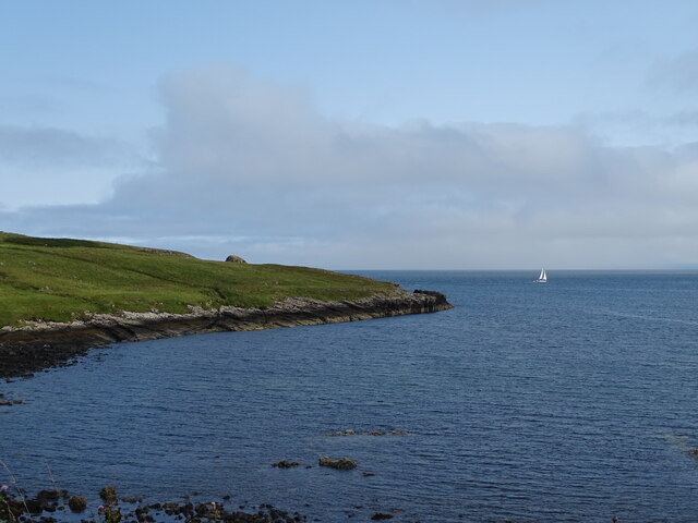
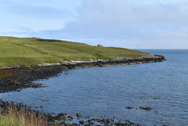
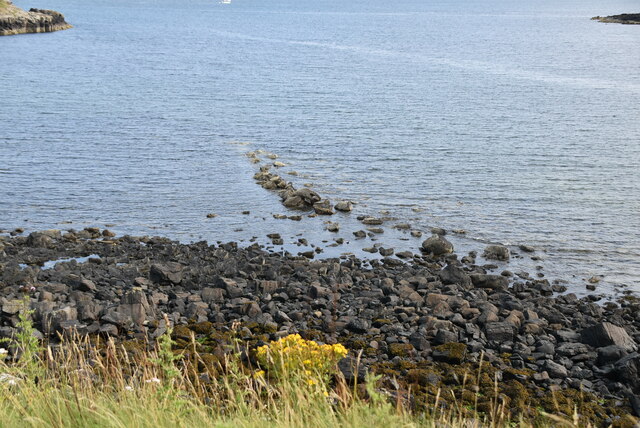
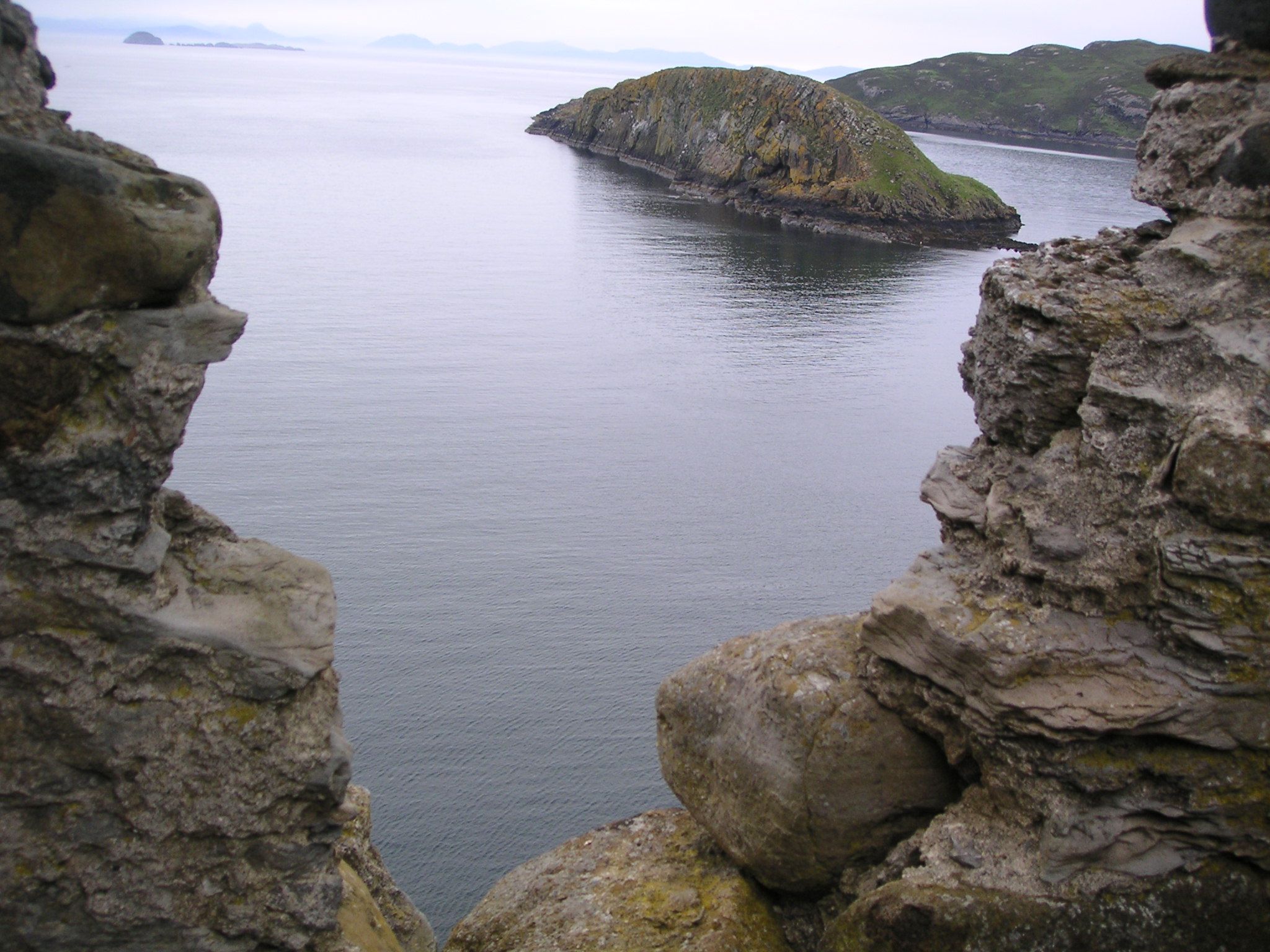
Sgeir nan Eathar Bàna, located in Inverness-shire, Scotland, is a prominent coastal feature known for its stunning headland and point. The name "Sgeir nan Eathar Bàna" translates to "white sandbank" in English, aptly describing the characteristic white sand that lines the area.
Situated on the western coast of Inverness-shire, Sgeir nan Eathar Bàna offers breathtaking views of the surrounding landscape. The headland features a rugged and rocky terrain, which extends into the sea, forming a point that juts out into the water. This unique geological formation provides an ideal vantage point for visitors to observe the vast open ocean and take in the beauty of the coastline.
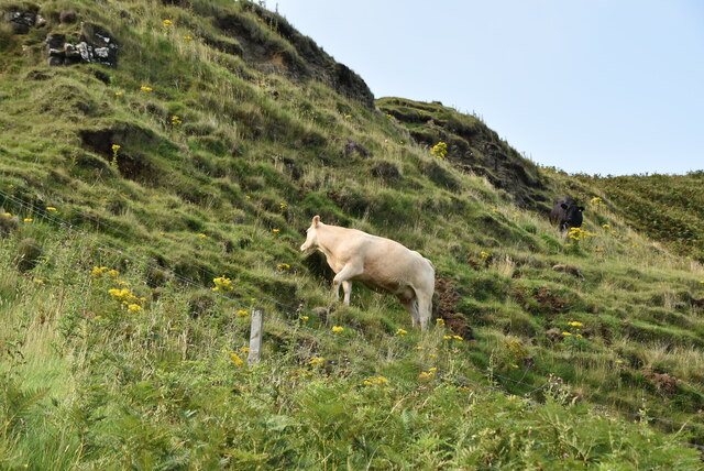
The area is rich in biodiversity, with various species of marine and bird life inhabiting the coastal waters and surrounding cliffs. Seals, dolphins, and seabirds can often be spotted in the vicinity, creating an enchanting experience for nature enthusiasts.
Sgeir nan Eathar Bàna is a popular destination for outdoor activities such as hiking and birdwatching. The headland offers several walking trails, allowing visitors to explore the coastline, admire the rugged cliffs, and discover hidden coves along the way. The white sandy beaches also provide a picturesque setting for relaxation and picnicking.
In summary, Sgeir nan Eathar Bàna in Inverness-shire is a captivating coastal feature renowned for its headland and point. With its stunning views, diverse wildlife, and opportunities for outdoor activities, it is a must-visit destination for those seeking a unique and memorable experience on the Scottish coast.
If you have any feedback on the listing, please let us know in the comments section below.
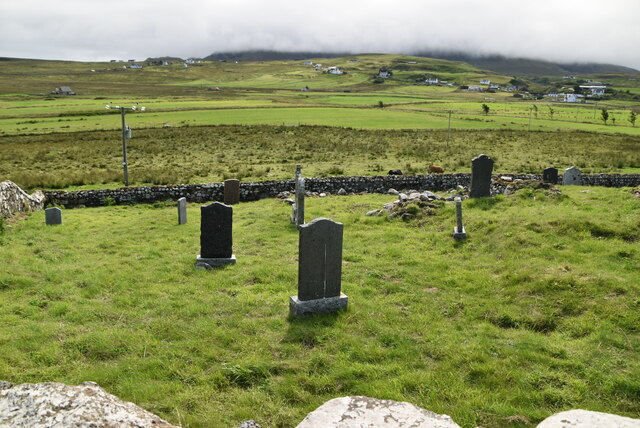
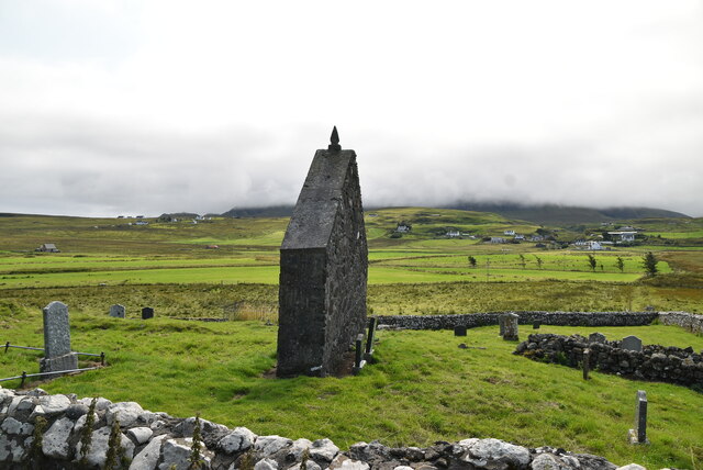
Sgeir nan Eathar Bàna Images
Images are sourced within 2km of 57.689574/-6.2860178 or Grid Reference NG4474. Thanks to Geograph Open Source API. All images are credited.


Sgeir nan Eathar Bàna is located at Grid Ref: NG4474 (Lat: 57.689574, Lng: -6.2860178)
Unitary Authority: Highland
Police Authority: Highlands and Islands
What 3 Words
///prepares.tastier.bearings. Near Uig, Highland
Nearby Locations
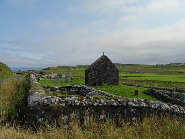
Related Wikis

Kilmaluag
Kilmaluag (Scottish Gaelic: Cill Moluaig, meaning St. Moluag's Cell, Church or Chapel) is a township made up of several small settlements on the most northerly...
Duntulm
Duntulm (Scottish Gaelic: Dùn Thuilm) is a township on the most northerly point of the Trotternish peninsula of the Isle of Skye made up of Shulista (north...

Flodigarry
Flodigarry (Scottish Gaelic: Flòdaigearraidh) is a scattered settlement on the north east side of the Trotternish peninsula on the island of Skye, and...
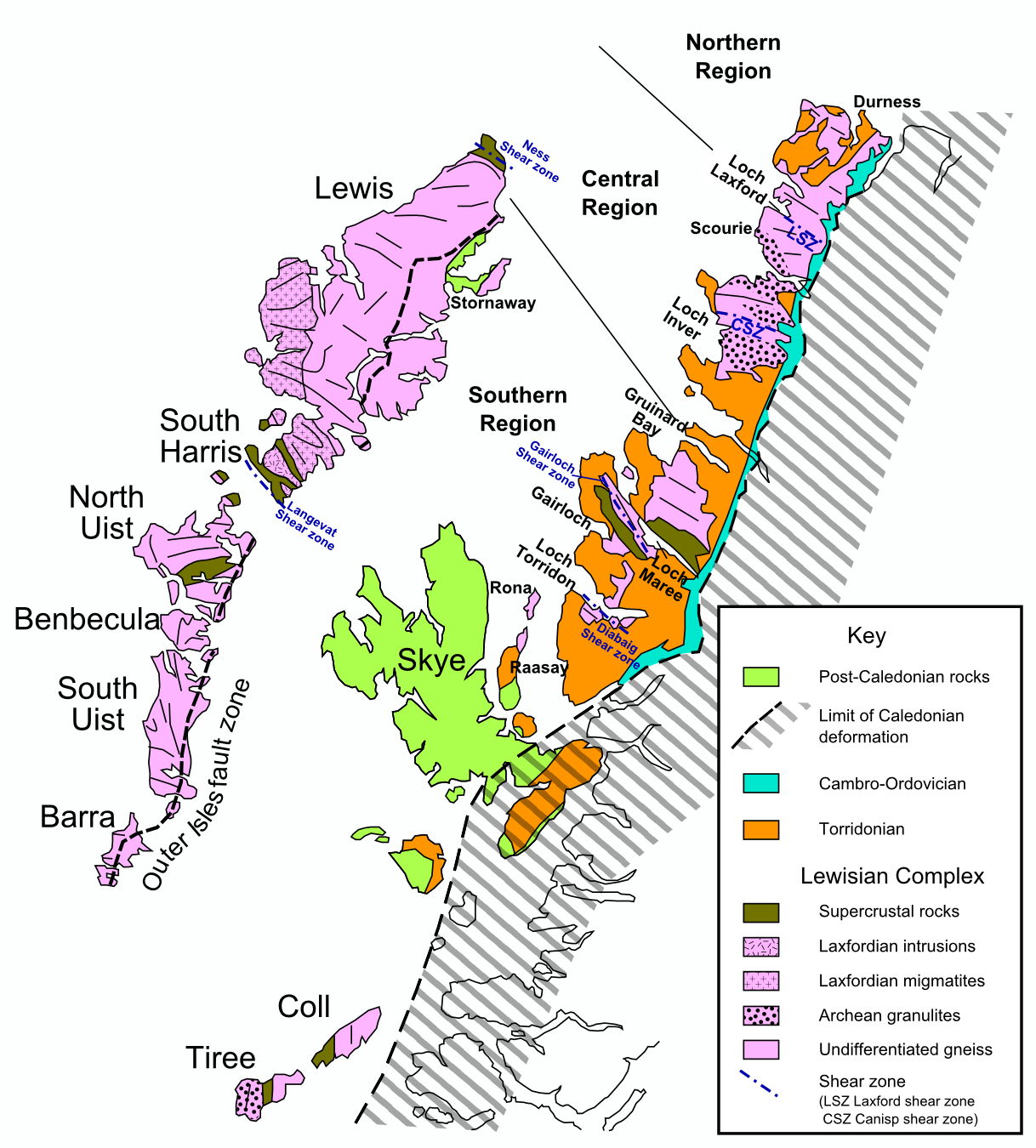
Hebridean Terrane
The Hebridean Terrane is one of the terranes that form part of the Caledonian orogenic belt in northwest Scotland. Its boundary with the neighbouring Northern...
Nearby Amenities
Located within 500m of 57.689574,-6.2860178Have you been to Sgeir nan Eathar Bàna?
Leave your review of Sgeir nan Eathar Bàna below (or comments, questions and feedback).