Am Boc
Coastal Feature, Headland, Point in Argyllshire
Scotland
Am Boc

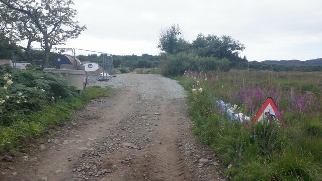
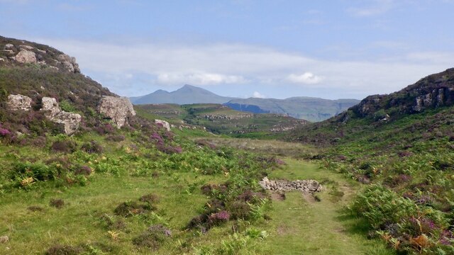
Am Boc is a prominent coastal feature located in Argyllshire, Scotland. Situated on the western coast of the Scottish Highlands, this headland juts out into the Atlantic Ocean, forming a picturesque point that offers breathtaking views of the surrounding landscape.
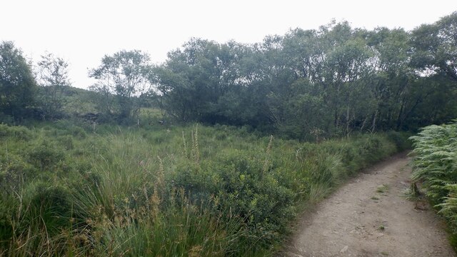
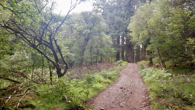
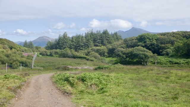
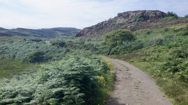
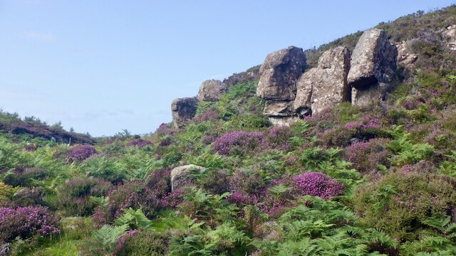
The terrain of Am Boc is characterized by rugged cliffs, rocky outcrops, and a variety of coastal vegetation. The headland is predominantly composed of ancient rocks, displaying layers of sedimentary formations that have been shaped over millions of years. These geological features make Am Boc a haven for geologists and nature enthusiasts alike.
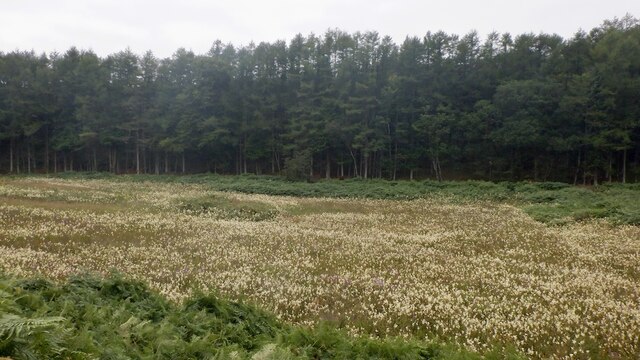
The headland is home to a diverse range of flora and fauna. The rugged cliffs provide nesting sites for seabirds such as gulls, puffins, and cormorants. Visitors may also spot seals basking on the rocks or dolphins swimming in the nearby waters. The coastal vegetation includes hardy plants and grasses that have adapted to the harsh coastal conditions.
Am Boc offers a range of recreational activities for visitors. Hiking trails along the headland provide opportunities for stunning coastal walks, allowing visitors to explore the rugged beauty of the area. The cliffs also attract rock climbers, who are drawn to the challenging routes and the breathtaking views from the top.
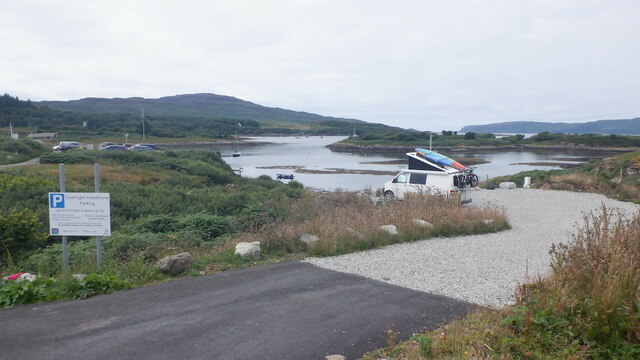
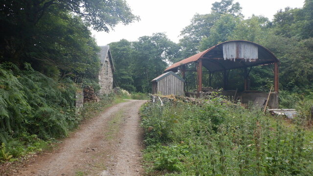
The headland is easily accessible by car, with a parking area available for visitors. Additionally, there are nearby amenities including cafes and information centers that offer guidance and insights about the local area. With its dramatic cliffs, abundant wildlife, and stunning views, Am Boc is a must-visit location for anyone seeking to immerse themselves in the natural beauty of Argyllshire's coastal landscape.
If you have any feedback on the listing, please let us know in the comments section below.
Am Boc Images
Images are sourced within 2km of 56.489501/-6.1689363 or Grid Reference NM4340. Thanks to Geograph Open Source API. All images are credited.


Am Boc is located at Grid Ref: NM4340 (Lat: 56.489501, Lng: -6.1689363)
Unitary Authority: Argyll and Bute
Police Authority: Argyll and West Dunbartonshire
What 3 Words
///campsites.carbon.diverts. Near Dervaig, Argyll & Bute
Nearby Locations
Related Wikis

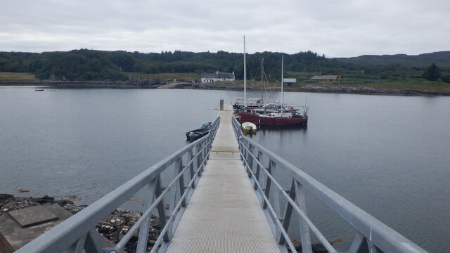
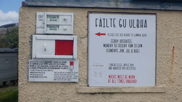
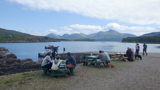
Ulva Ferry
Ulva Ferry (Scottish Gaelic: Caolas Ulbha) is a hamlet on the Hebridean island of Mull, on its west coast. Ulva Ferry is on the shore of Ulva Sound (Caolas...

Loch Tuath
Loch Tuath (Scottish Gaelic: Loch-a-Tuath) is a sea loch in the Inner Hebrides, Scotland that separates the Isle of Mull and the island of Ulva. Loch Tuath...

Ulva
Ulva (; Scottish Gaelic: Ulbha) is a small island in the Inner Hebrides of Scotland, off the west coast of Mull. It is separated from Mull by a narrow...

Achleck
Achleck is a small settlement in the north-west of the Isle of Mull in Argyll and Bute, Scotland. == References ==
Nearby Amenities
Located within 500m of 56.489501,-6.1689363Have you been to Am Boc?
Leave your review of Am Boc below (or comments, questions and feedback).