Creagan Mhic' Ouaire
Coastal Feature, Headland, Point in Argyllshire
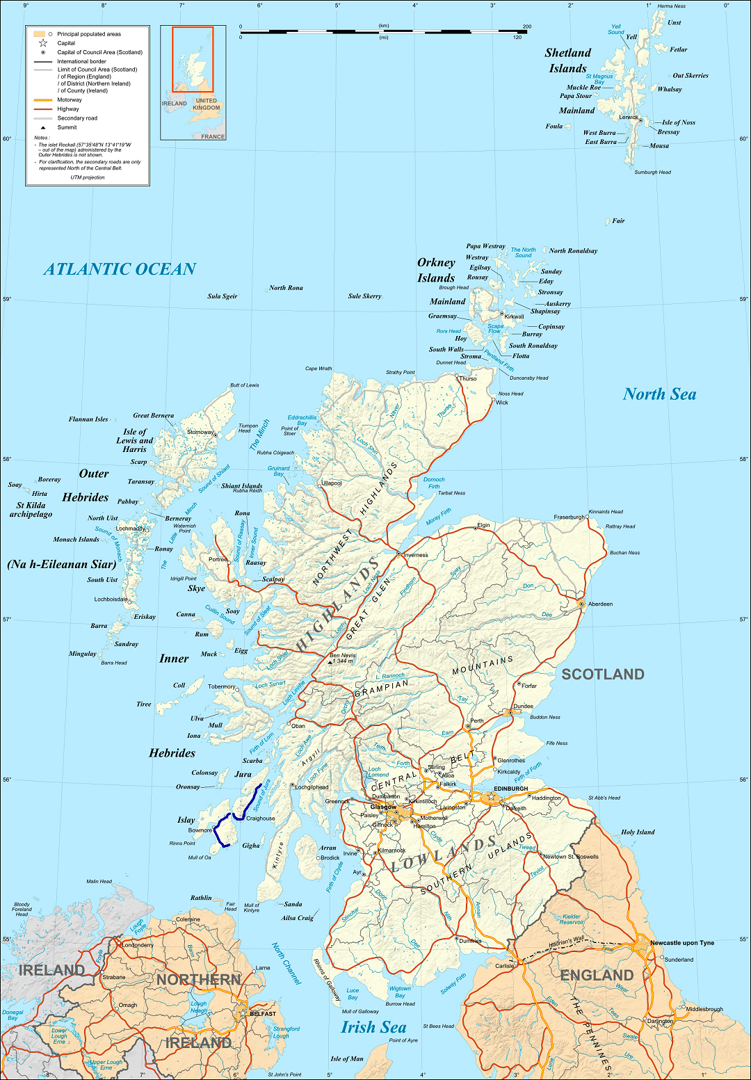
Scotland
Creagan Mhic' Ouaire
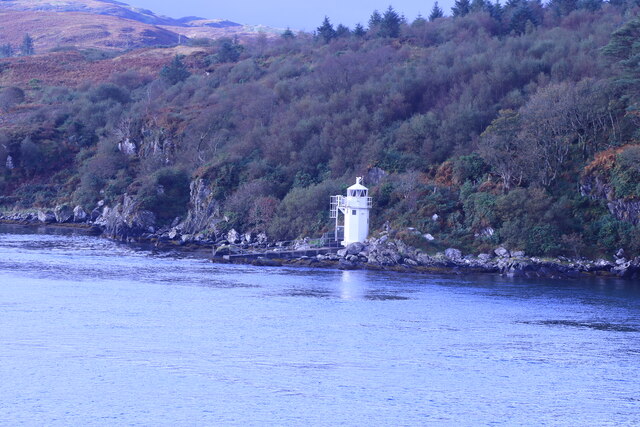
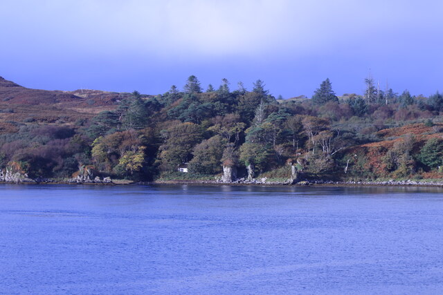
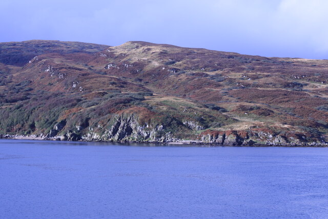
Creagan Mhic' Ouaire is a prominent coastal feature located in Argyllshire, Scotland. Situated at the headland of a rugged peninsula, it is a stunning point that offers breathtaking views of the surrounding landscape. The name Creagan Mhic' Ouaire translates to "the rocks of Mhic' Ouaire" in Gaelic, which is a testament to the rocky nature of the area.
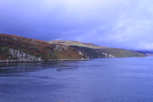
The headland is characterized by its towering cliffs, which rise dramatically from the sea, creating a striking visual spectacle. These cliffs are composed of weathered sedimentary rocks, displaying layers of different colors and textures. The rugged terrain provides a habitat for various seabirds, including gannets, puffins, and guillemots, making it a popular spot for birdwatchers.
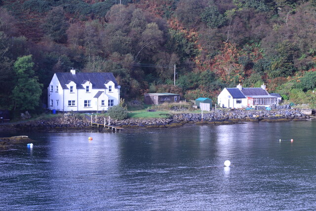
At the base of Creagan Mhic' Ouaire, there are secluded sandy beaches and rocky coves, nestled among the cliffs. The crystal-clear waters surrounding the headland are ideal for swimming, snorkeling, and diving, attracting water enthusiasts from near and far.
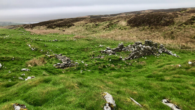
The area around Creagan Mhic' Ouaire is also rich in history. There are several ancient ruins and archaeological sites nearby, showcasing the long and fascinating human presence in this region. Visitors can explore the remnants of prehistoric settlements, burial mounds, and stone circles, providing a glimpse into the past.
Creagan Mhic' Ouaire is a must-visit destination for nature lovers, history enthusiasts, and those seeking a peaceful escape. Its stunning cliffs, pristine beaches, and historical significance make it a unique and captivating coastal feature in Argyllshire.
If you have any feedback on the listing, please let us know in the comments section below.
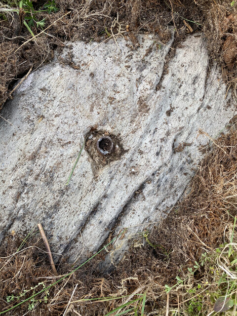
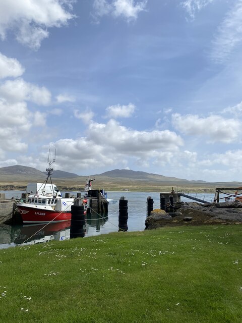
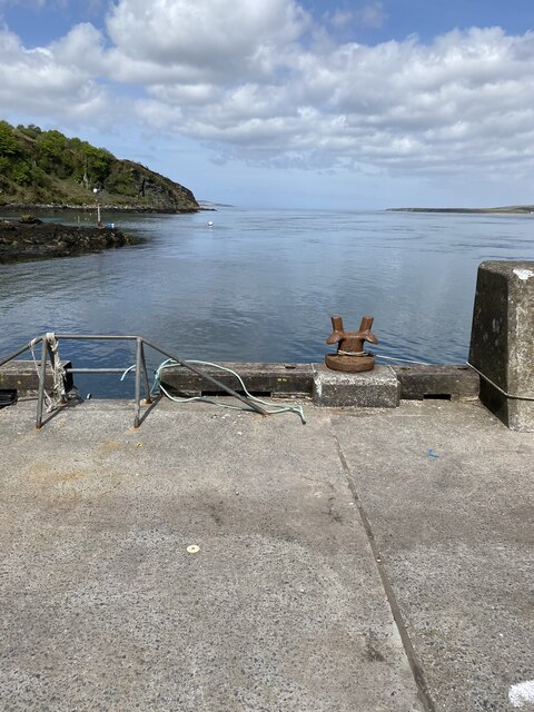
Creagan Mhic' Ouaire Images
Images are sourced within 2km of 55.83928/-6.1021505 or Grid Reference NR4368. Thanks to Geograph Open Source API. All images are credited.


Creagan Mhic' Ouaire is located at Grid Ref: NR4368 (Lat: 55.83928, Lng: -6.1021505)
Unitary Authority: Argyll and Bute
Police Authority: Argyll and West Dunbartonshire
What 3 Words
///endearing.soaps.brightly. Near Port Askaig, Argyll & Bute
Related Wikis

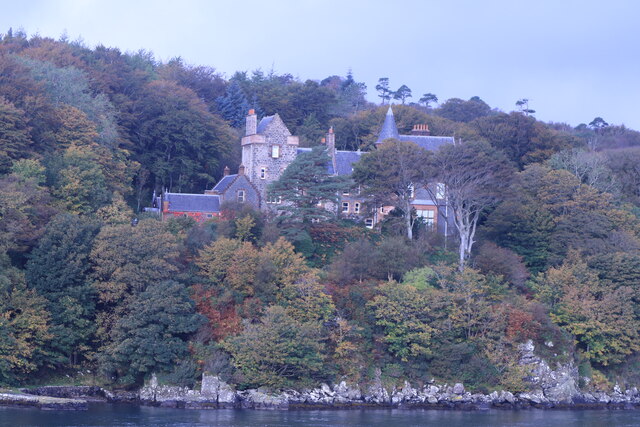
Dunlossit House
Dunlossit House is a Category C listed country house near Port Askaig, Islay in the county of Argyll, in western Scotland.. == History and architecture... ==
A846 road
The A846 road is one of the two principal roads of Islay in the Inner Hebrides off the west coast of mainland Scotland and the only 'A' road on the neighbouring...

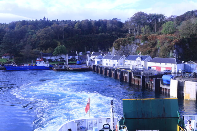
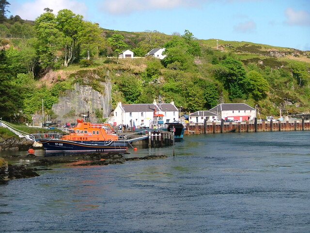
Port Askaig
Port Askaig (Scottish Gaelic: Port Asgaig) is a port village on the east coast of the island of Islay, in Scotland. The village lies on the Sound of Islay...

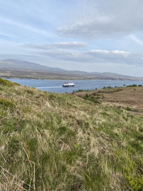
Sound of Islay
The Sound of Islay (Scottish Gaelic: Caol Ìle) is a narrow strait between the islands of Islay and Jura off the west coast of Scotland. It is about 30...
Nearby Amenities
Located within 500m of 55.83928,-6.1021505Have you been to Creagan Mhic' Ouaire?
Leave your review of Creagan Mhic' Ouaire below (or comments, questions and feedback).