An Coileach

Coastal Feature, Headland, Point in Inverness-shire

Scotland

An Coileach

One of the Gamhnaichean Rocks Na Gamhnaichean are skerries off the south west of Soay. The birds on this southern part of the rocks are shags.
One of the Gamhnaichean Rocks Credit: John Allan

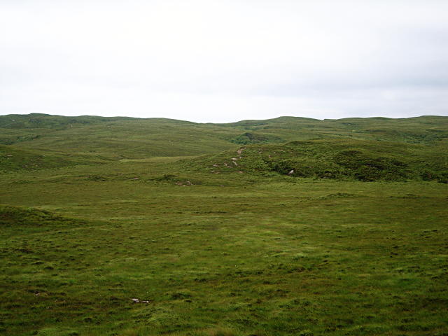
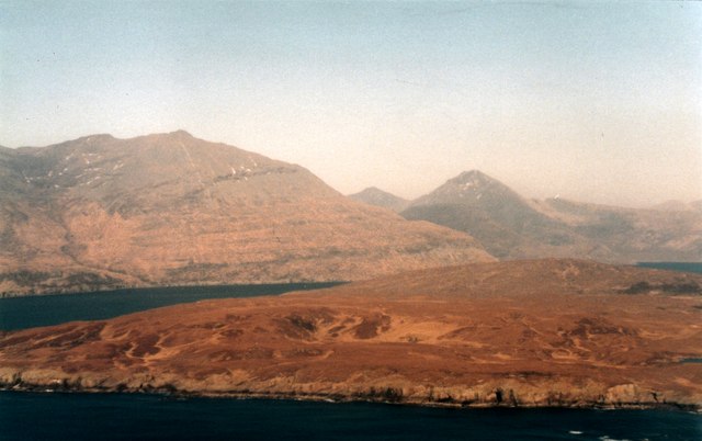
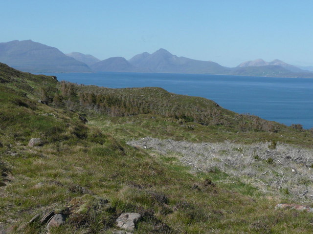
An Coileach is a prominent coastal feature located in Inverness-shire, Scotland. It is a headland that juts out into the North Atlantic Ocean, forming a distinct point along the rugged coastline. With its striking cliffs and commanding views, An Coileach is a popular destination for nature enthusiasts and hikers.

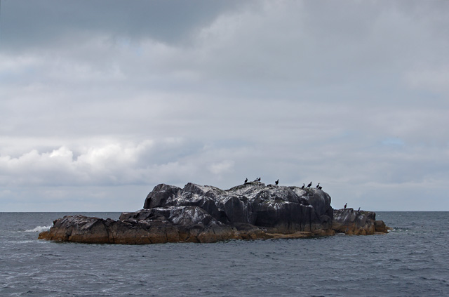
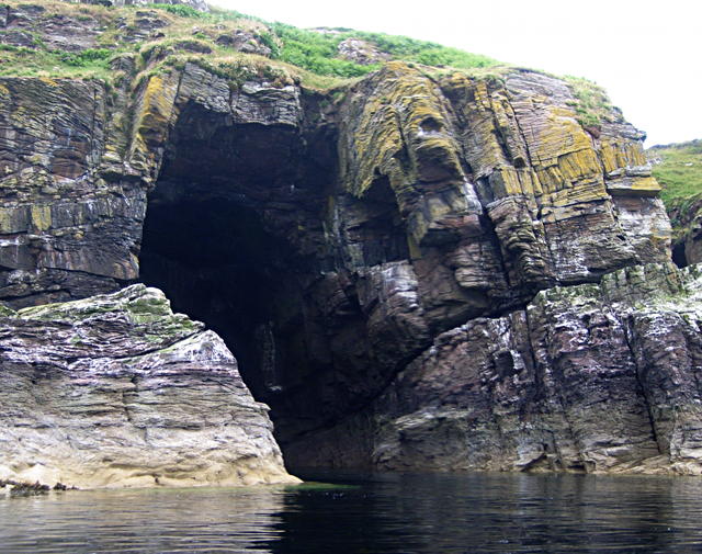
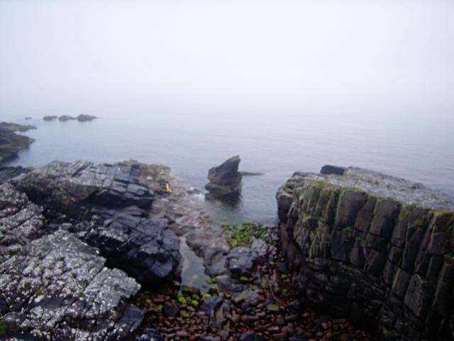
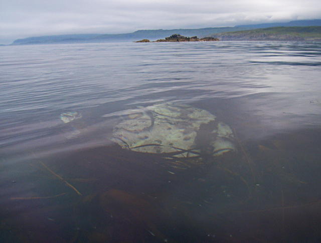
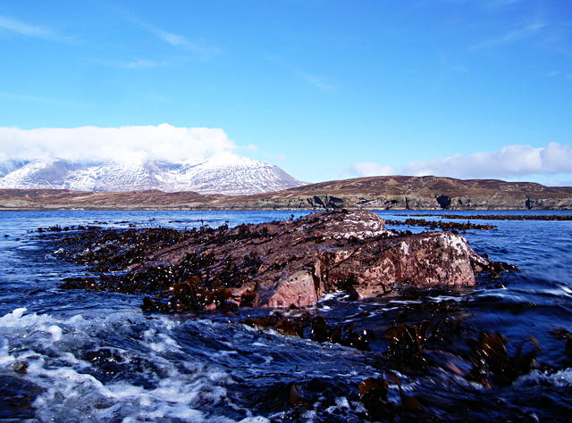
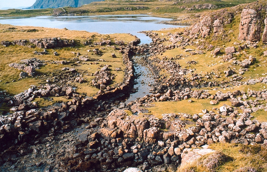
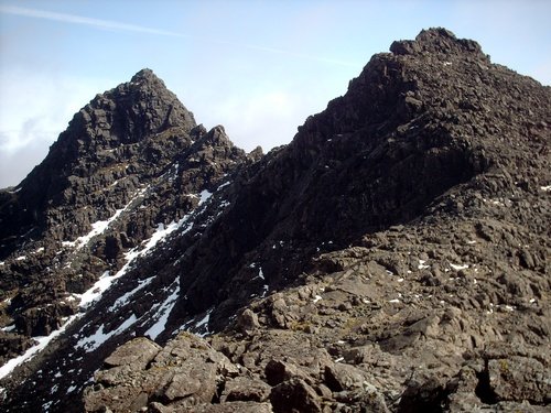
The headland is characterized by its steep and jagged cliffs, rising up to 100 meters above sea level. These cliffs are composed of sedimentary rocks, displaying a variety of colors and textures, adding to the visual appeal of the area. The exposed nature of An Coileach means that it is subject to strong winds and crashing waves, creating a dramatic atmosphere.

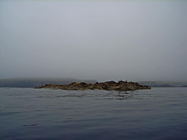
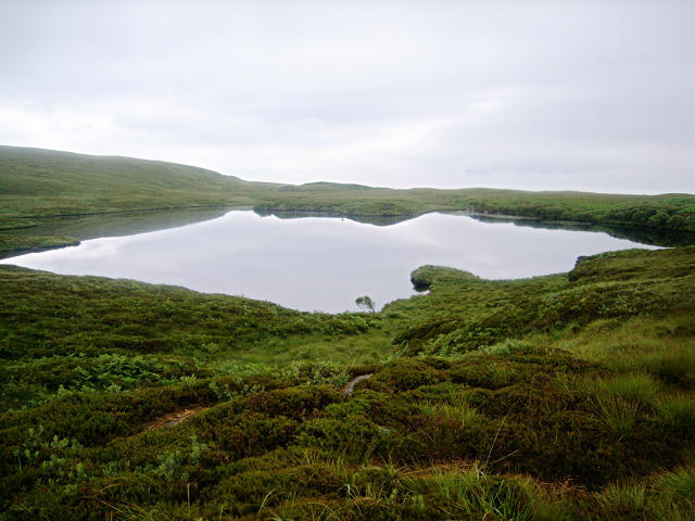
The coastal path leading to An Coileach offers breathtaking vistas of the surrounding landscape. On a clear day, visitors can enjoy panoramic views of the ocean, with glimpses of distant islands dotting the horizon. The headland is also home to a diverse range of seabirds, including gulls, fulmars, and puffins, making it a haven for birdwatchers.

Access to An Coileach is relatively easy, with a well-maintained footpath leading from a nearby parking area. However, caution should be exercised near the cliff edges, as they can be unstable and dangerous. The area is also known for its unpredictable weather conditions, so visitors are advised to come prepared with appropriate clothing and footwear.

In summary, An Coileach is a remarkable coastal feature in Inverness-shire, offering stunning views, diverse wildlife, and a sense of natural beauty. It is an ideal destination for those seeking an immersive experience in Scotland's wild and rugged coastline.

If you have any feedback on the listing, please let us know in the comments section below.

An Coileach Images

Images are sourced within 2km of 57.126573/-6.2448235 or Grid Reference NG4311. Thanks to Geograph Open Source API. All images are credited.

One of the Gamhnaichean Rocks Na Gamhnaichean are skerries off the south west of Soay. The birds on this southern part of the rocks are shags.
One of the Gamhnaichean Rocks
Na Gamhnaichean are skerries off the south west of Soay. The birds on this southern part of the rocks are shags.
The home of Thunderbird 6? Though the perfect shape suggests a man-made structure, this is a natural sea-cave in the sandstone, home to nothing more exotic than a colony of noisy guillemots.  Hidden under the grass above is a volcanic sill, which may help to support the roof.
The home of Thunderbird 6?
Though the perfect shape suggests a man-made structure, this is a natural sea-cave in the sandstone, home to nothing more exotic than a colony of noisy guillemots. Hidden under the grass above is a volcanic sill, which may help to support the roof.
Cormorants occupying a tidal rock Just a small skerry, with Soay behind (and Skye behind that, if it weren't so misty!).
Cormorants occupying a tidal rock
Just a small skerry, with Soay behind (and Skye behind that, if it weren't so misty!).
Rocky cove This is one of the few weaknesses in the western cliffs where I was able to put ashore and look down from the top.
Rocky cove
This is one of the few weaknesses in the western cliffs where I was able to put ashore and look down from the top.
Boggy valley I wanted to have something interesting to say about this scene; about the best that I can manage is that it's probably the furthest point from the coast on the whole island (certainly the only place more than 1km from the sea).
Boggy valley
I wanted to have something interesting to say about this scene; about the best that I can manage is that it's probably the furthest point from the coast on the whole island (certainly the only place more than 1km from the sea).
Loch Doir' a' Chreamha On this warm and humid evening, the wildlife here (in the form of clegs) was very active - and vicious.  I managed to snap this, then run for the safety of the sea...
Loch Doir' a' Chreamha
On this warm and humid evening, the wildlife here (in the form of clegs) was very active - and vicious. I managed to snap this, then run for the safety of the sea...
Submerged rock I searched for a while at this low tide for the land, but it was still under water (by 100-110cm or so).  It seems it's only exposed at spring tides, possibly only near the equinoxes.  Here it is, anyway, visible through the fronds of seaweed that grow well in the shallow waters.
Submerged rock
I searched for a while at this low tide for the land, but it was still under water (by 100-110cm or so). It seems it's only exposed at spring tides, possibly only near the equinoxes. Here it is, anyway, visible through the fronds of seaweed that grow well in the shallow waters.
An Coileach at very low tide This small skerry is only 0.5m above chart datum, meaning it's only visible at low spring tide and even then only around the equinoxes.  So a mission was hatched to photograph this square above the water at a vernal spring tide (reaching down to 0.1m).  The rock appears to be granite (but may perhaps be Torridonian Sandstone, as is Soay). Soay is seen behind, and Skye behind that, with the tops of the southernmost Cuillin hills wreathed with cloud.
An Coileach at very low tide
This small skerry is only 0.5m above chart datum, meaning it's only visible at low spring tide and even then only around the equinoxes. So a mission was hatched to photograph this square above the water at a vernal spring tide (reaching down to 0.1m). The rock appears to be granite (but may perhaps be Torridonian Sandstone, as is Soay). Soay is seen behind, and Skye behind that, with the tops of the southernmost Cuillin hills wreathed with cloud.
Isle of Soay with the Cuillin behind
Show me another place!

An Coileach is located at Grid Ref: NG4311 (Lat: 57.126573, Lng: -6.2448235)

Unitary Authority: Highland

Police Authority: Highlands and Islands

What 3 Words

///locked.printouts.hooks. Near Elgol, Highland

Nearby Locations

An Coileach A' Chearc

Related Wikis

Soay, Inner Hebrides

Soay (Scottish Gaelic: Sòdhaigh, pronounced [ˈs̪ɔː.aj]) is an island just off the coast of Skye, in the Inner Hebrides of Scotland. == Geography == Soay...

Cuillin Sound

Cuillin Sound is a sound (inlet) that separates the island of Skye from the islands of Rùm and Canna, all of which are located in Scotland's Inner Hebrides...

Rubha an Dùnain

Rubha an Dùnain or Rubh' an Dùnain (Scottish Gaelic pronunciation: [ᵲu(.ə) ən t̪uːnən]) is an uninhabited peninsula to the south of the Cuillin hills on...

Sgùrr nan Eag

Sgùrr nan Eag is a mountain 924 metres (3,031 ft) high in the Cuillin range on the Isle of Skye, Scotland. It is the southernmost Munro of the Cuillins...

Loch Brittle

Loch Brittle is a sea loch on the southwest coast of Skye in Scotland. A sandy beach separates Glen Brittle from Loch Brittle. The land to the sides of...

Cuillin

The Cuillin (Scottish Gaelic: An Cuiltheann) is a range of mostly jagged rocky mountains on the Isle of Skye in Scotland. The main Cuillin ridge is also...

Strathaird

Strathaird is a peninsula on the island of Skye, Scotland, situated between Loch Slapin and Loch Scavaig on the south coast.W. H. Murray said that "Skye...

Sgùrr Dubh Mòr

Sgùrr Dubh Mòr is a 944-metre (3,097 ft) mountain, a Munro, in the Cuillin range on the Isle of Skye in Scotland. It is slightly to the east of the main...

Have you been to An Coileach?

Leave your review of An Coileach below (or comments, questions and feedback).