Carraig Artair
Coastal Feature, Headland, Point in Argyllshire
Scotland
Carraig Artair
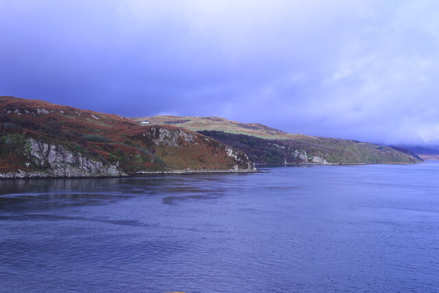
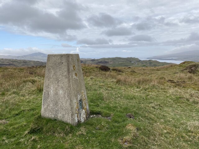
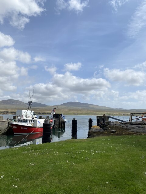
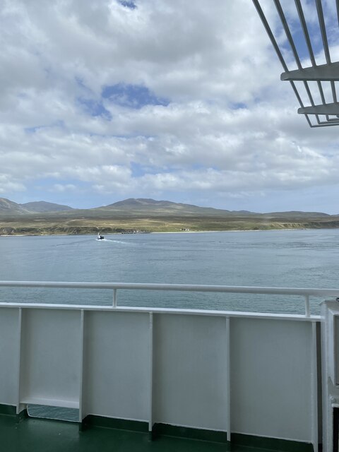
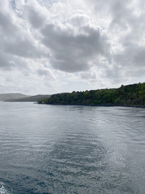
Carraig Artair is a prominent coastal feature located in Argyllshire, Scotland. It is a headland that juts out into the sea, forming a point that offers breathtaking views of the surrounding landscape. The name Carraig Artair translates to "Arthur's Rock" in Gaelic, and it is believed to have been named after the legendary King Arthur.
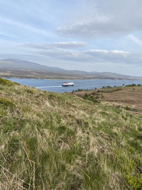
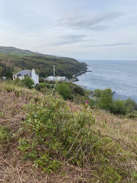
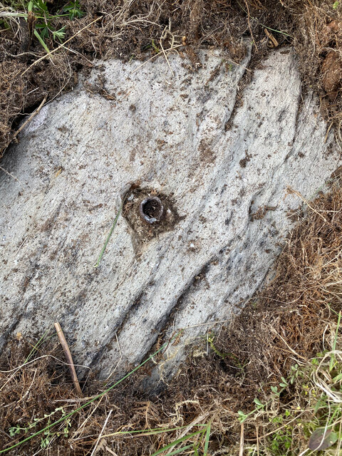
This headland is characterized by its rugged and rocky terrain, with cliffs that rise dramatically above the crashing waves of the Atlantic Ocean. The headland is composed mainly of sedimentary rocks, including sandstone and limestone, which have been shaped by the erosive forces of wind and water over millions of years.
Carraig Artair is a popular destination for nature enthusiasts and photographers due to its stunning natural beauty. The headland provides a habitat for a variety of seabirds, including puffins, gannets, and razorbills, making it a haven for birdwatchers. The surrounding waters are also home to seals and occasionally dolphins, adding to the area's wildlife diversity.
Visitors to Carraig Artair can explore the headland by following a network of walking trails that lead to various viewpoints and vantage points. These paths offer visitors the opportunity to marvel at the dramatic coastal scenery, observe the wildlife, and enjoy the fresh sea air.
Overall, Carraig Artair is a captivating coastal feature that showcases the raw beauty of Argyllshire's coastline. Its rugged cliffs, diverse wildlife, and stunning views make it a must-visit destination for nature lovers and those seeking a tranquil escape.
If you have any feedback on the listing, please let us know in the comments section below.
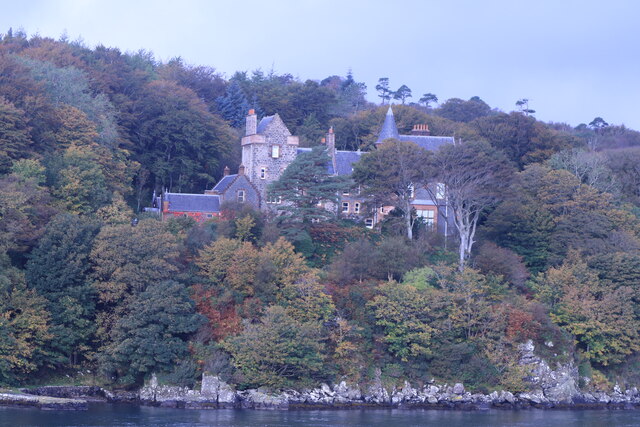
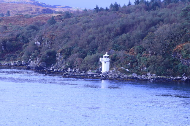
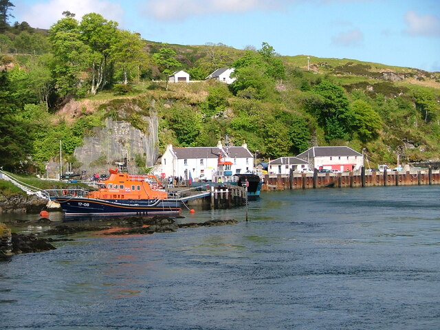
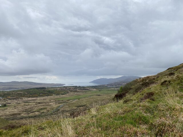
Carraig Artair Images
Images are sourced within 2km of 55.857027/-6.1095878 or Grid Reference NR4270. Thanks to Geograph Open Source API. All images are credited.
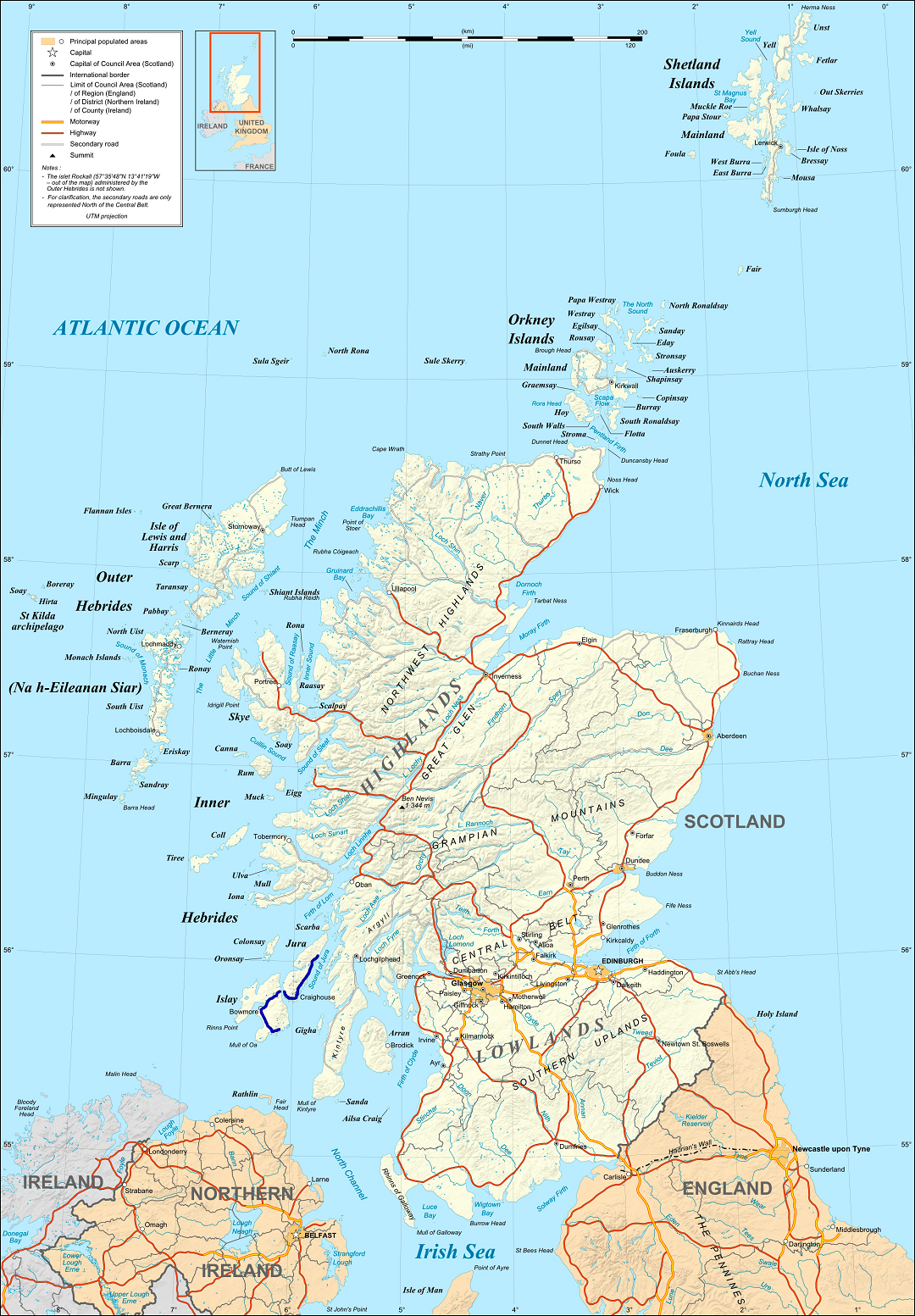
Carraig Artair is located at Grid Ref: NR4270 (Lat: 55.857027, Lng: -6.1095878)
Unitary Authority: Argyll and Bute
Police Authority: Argyll and West Dunbartonshire
What 3 Words
///invents.shelving.photos. Near Port Askaig, Argyll & Bute
Nearby Locations
Related Wikis

Caol Ila distillery
Caol Ila distillery (; Scottish Gaelic: Taigh-staile Chaol Ìle [t̪ʰəˈs̪t̪alə xɯːlˈiːlə], "Sound of Islay Distillery") is a Scotch whisky distillery near...

Sound of Islay
The Sound of Islay (Scottish Gaelic: Caol Ìle) is a narrow strait between the islands of Islay and Jura off the west coast of Scotland. It is about 30...

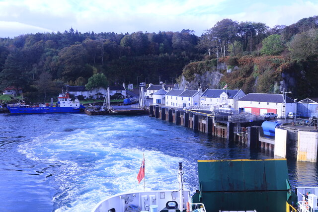
Port Askaig
Port Askaig (Scottish Gaelic: Port Asgaig) is a port village on the east coast of the island of Islay, in Scotland. The village lies on the Sound of Islay...

Dunlossit House
Dunlossit House is a Category C listed country house near Port Askaig, Islay in the county of Argyll, in western Scotland.. == History and architecture... ==

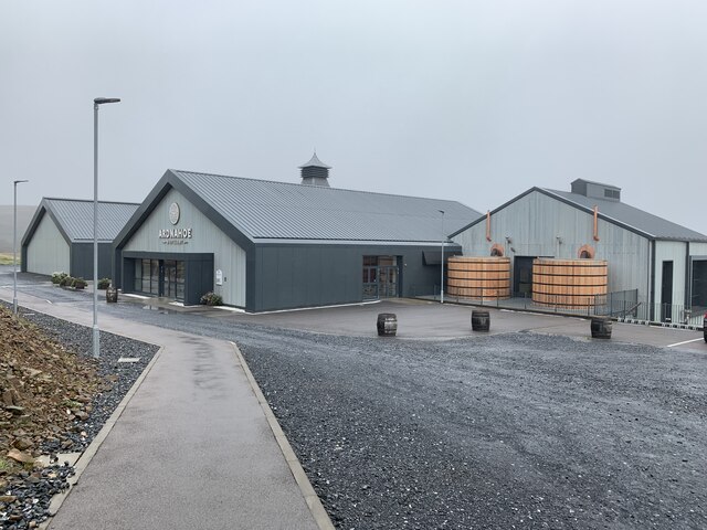
Ardnahoe distillery
Ardnahoe distillery is a Scotch whisky distillery on Islay, in Scotland. == Location == The distillery is on the north east coast of Islay, located just...

Feolin
Feolin (also known as Feolin Ferry) is a slipway on the west coast of Jura. MV Eilean Dhiura provides a vehicle and passenger ferry service from Port Askaig...
A846 road
The A846 road is one of the two principal roads of Islay in the Inner Hebrides off the west coast of mainland Scotland and the only 'A' road on the neighbouring...
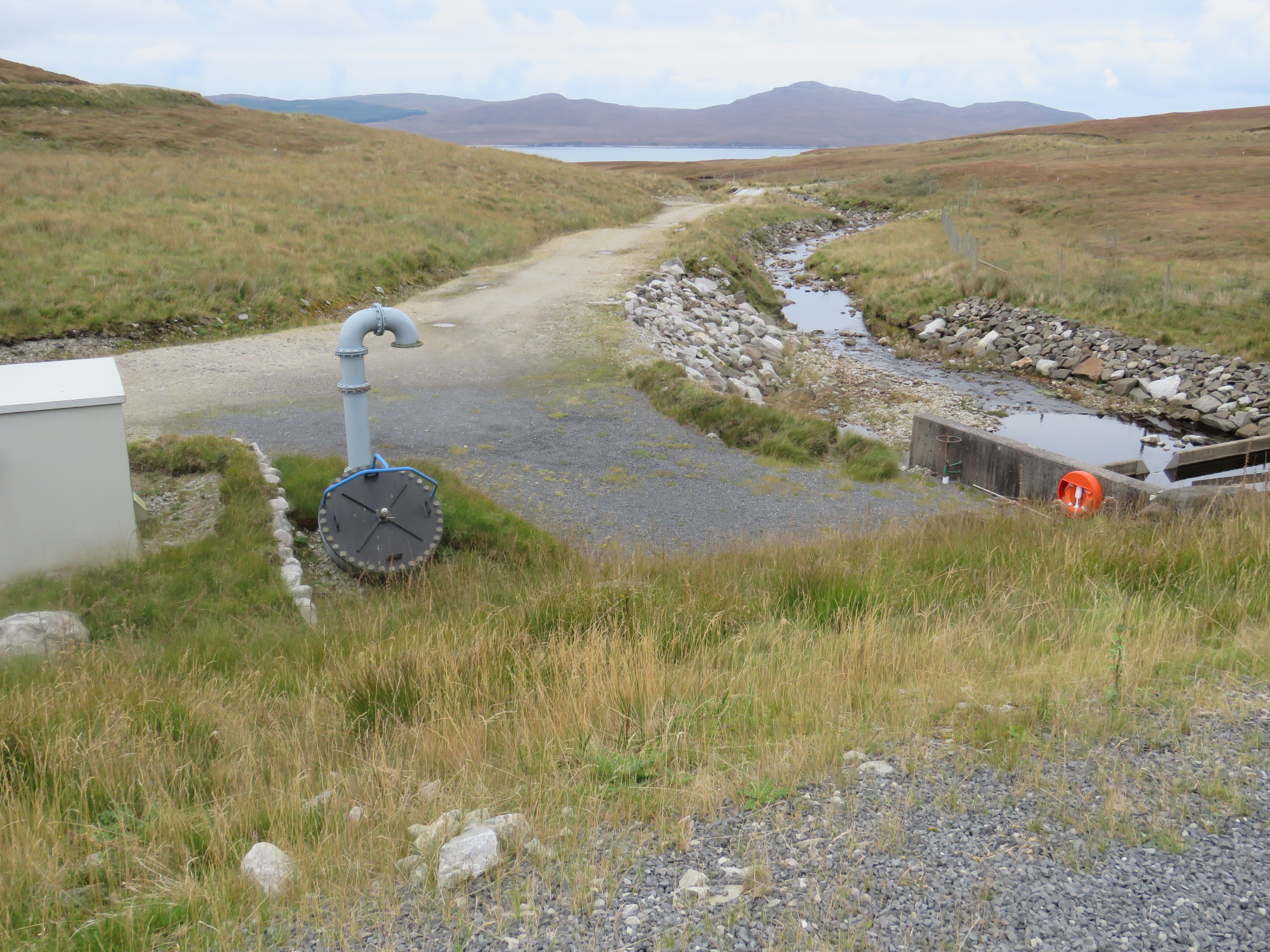
Inver Hydro-Electric Scheme
Inver Hydro-Electric Scheme is a remote hydro-electric plant on the Scottish island of Jura, part of the Inner Hebrides. Construction began in 2011, and...
Related Videos


Nearby Amenities
Located within 500m of 55.857027,-6.1095878Have you been to Carraig Artair?
Leave your review of Carraig Artair below (or comments, questions and feedback).