Am Braoisgeach
Coastal Feature, Headland, Point in Argyllshire
Scotland
Am Braoisgeach
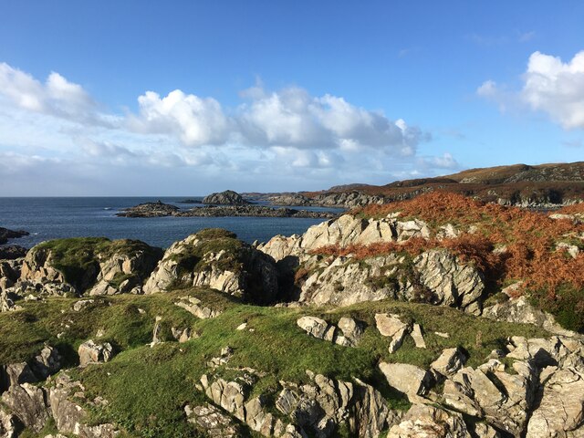
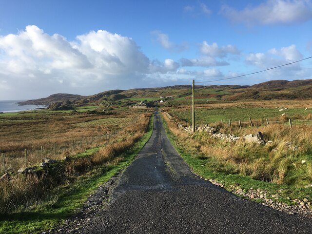
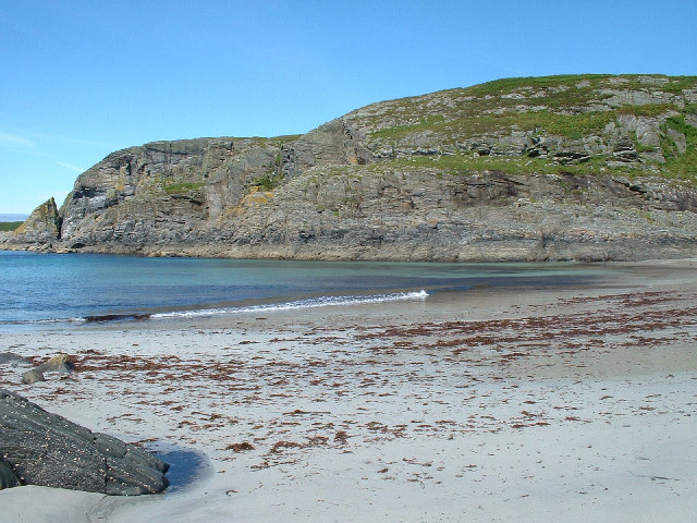
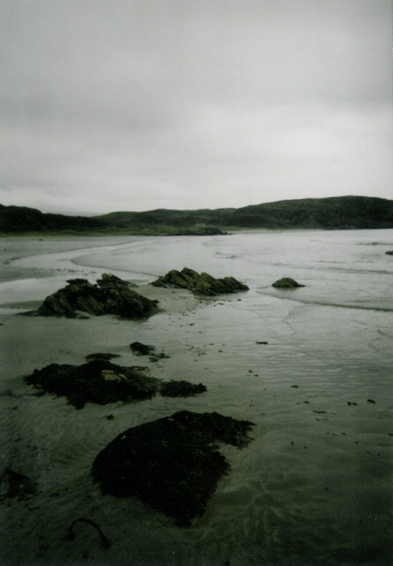
Am Braoisgeach is a prominent headland located in Argyllshire, Scotland. Situated on the west coast of the country, it juts out into the North Atlantic Ocean, offering stunning coastal views and an impressive landscape.
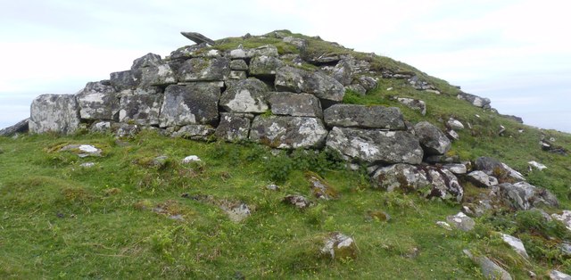
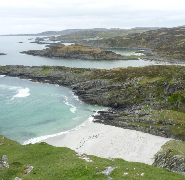
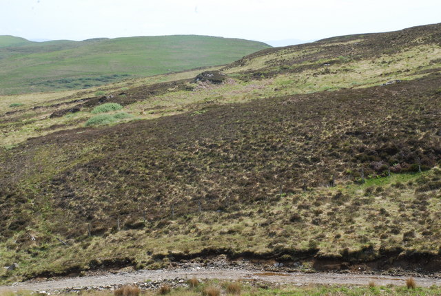
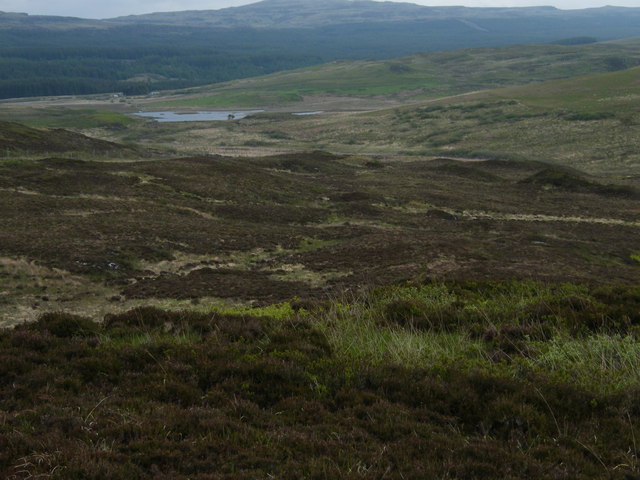
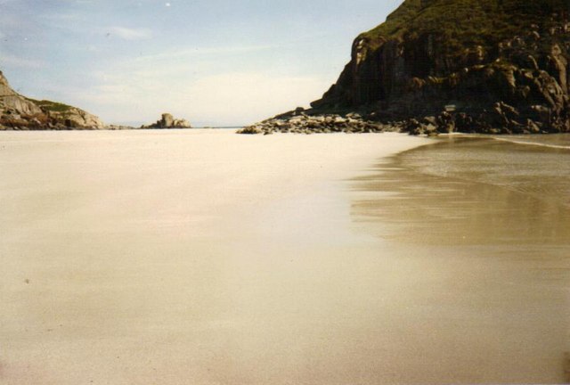
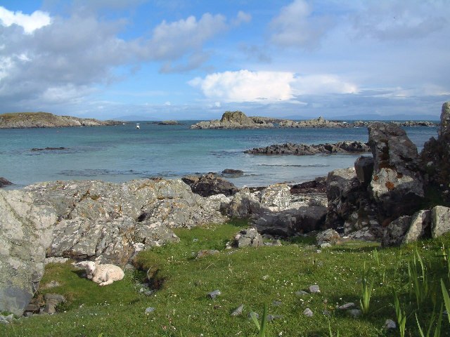
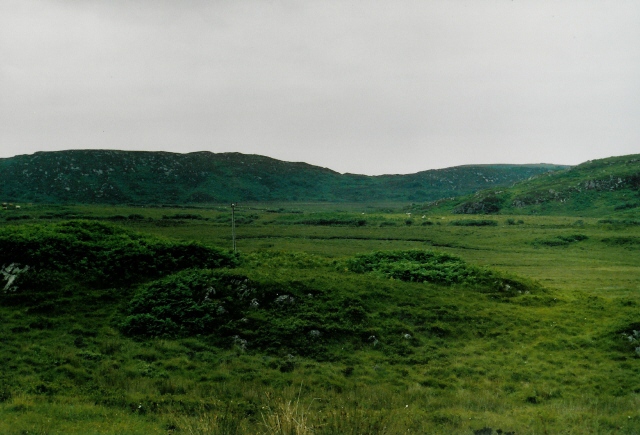
This headland, also known as "The Brae," is characterized by rugged cliffs that rise dramatically from the sea. The cliffs are composed of ancient rock formations, displaying layers of sedimentary rock that provide a glimpse into the area's geological history. The headland is predominantly covered with lush vegetation, including hardy grasses, heather, and wildflowers, adding a touch of vibrant color to the rugged landscape.
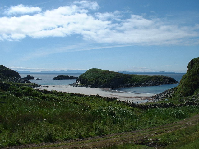
Am Braoisgeach offers breathtaking panoramic views of the surrounding area, including the vast expanse of the ocean and the nearby islands. On a clear day, one can observe the waves crashing against the cliffs and watch seabirds soaring through the air, adding to the enchanting ambiance of the place.
The headland is a popular destination for hikers and nature enthusiasts who are drawn to its natural beauty and tranquility. Several walking trails have been established, allowing visitors to explore the headland and its surroundings at their own pace. These trails offer opportunities to spot a variety of wildlife, including seals, dolphins, and even the occasional whale. Birdwatchers will also find plenty to admire, with various species of seabirds nesting along the cliffs.
Am Braoisgeach is a captivating coastal feature that embodies the rugged charm of the Scottish coastline. Its striking cliffs, panoramic views, and diverse wildlife make it a must-visit destination for those seeking a memorable experience in Argyllshire.
If you have any feedback on the listing, please let us know in the comments section below.
Am Braoisgeach Images
Images are sourced within 2km of 56.286929/-6.2157739 or Grid Reference NM3918. Thanks to Geograph Open Source API. All images are credited.


Am Braoisgeach is located at Grid Ref: NM3918 (Lat: 56.286929, Lng: -6.2157739)
Unitary Authority: Argyll and Bute
Police Authority: Argyll and West Dunbartonshire
What 3 Words
///chained.sectors.driftwood. Near Fionnphort, Argyll & Bute
Related Wikis

Uisken
Uisken (Scottish Gaelic: Uisgean, meaning "water-bay") is a settlement on a sandy bay on the Ross of Mull in the south of the Isle of Mull, on the west...

Ardalanish
Ardalanish (Scottish Gaelic: Àird Dealanais) is a village on the Isle of Mull in Argyll and Bute, Scotland. It is now an organic farm and weaving mill...

Knocknafenaig
Knocknafenaig (Scottish Gaelic: Cnoc na Fennaig) is a ruined township on the Isle of Mull, Scotland. Located in the south-western portion of the island...

Bunessan
Bunessan (Scottish Gaelic: Bun Easain) is a small village on the Ross of Mull in the south-west of the Isle of Mull, off the west coast of Scotland. The...

Suidhe
Suidhe (Scottish Gaelic: Suidhe) is a ruined township located on the southwestern peninsula of the Isle of Mull, Scotland. It lies just over 1 km to the...

Shiaba
Shiaba (Scottish Gaelic: Siaba) is a ruined township located on the southwestern peninsula of the Isle of Mull, Scotland. It lies about 8 km to the east...

Ardtun
Ardtun (Scottish Gaelic: Àird Tunna) is a settlement on the Isle of Mull, in Argyll and Bute, Scotland. Ardtun is within the parish of Kilfinichen and...

Ross of Mull
The Ross of Mull (Scottish Gaelic: An Ros Mhuileach) is the largest peninsula of the Isle of Mull, about 28 kilometres (17 mi) long, and makes up the south...
Nearby Amenities
Located within 500m of 56.286929,-6.2157739Have you been to Am Braoisgeach?
Leave your review of Am Braoisgeach below (or comments, questions and feedback).