Am Fasach
Coastal Feature, Headland, Point in Argyllshire
Scotland
Am Fasach
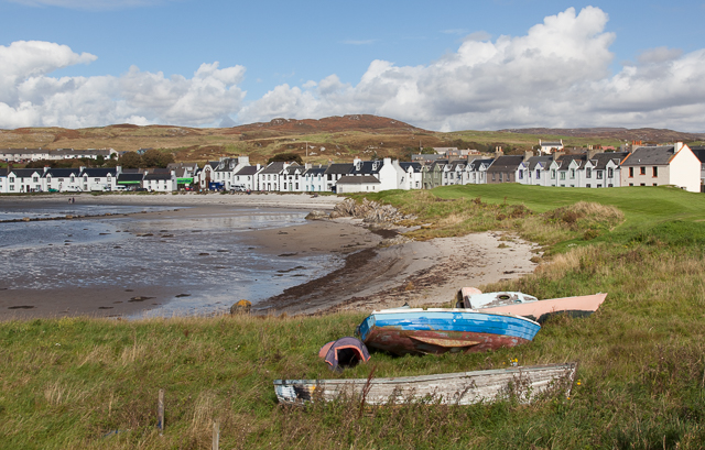
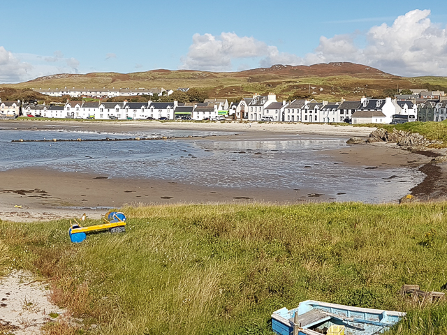
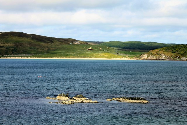
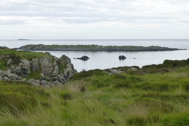
Am Fasach is a prominent headland located in Argyllshire, Scotland. Situated along the rugged coastline, it juts out into the Atlantic Ocean, offering breathtaking panoramic views of the surrounding landscape. With its dramatic cliffs and rocky formations, it has become a popular destination for nature enthusiasts and photographers.
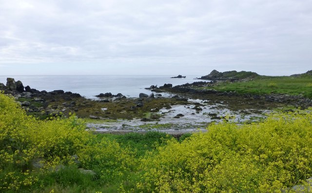
The headland is characterized by its distinctive geology, consisting of ancient volcanic rocks that have been shaped by millions of years of erosion. This has resulted in the creation of unique features such as sea caves, arches, and stacks, which add to the area's natural beauty. At low tide, visitors can explore these caves and admire the diverse marine life that inhabits the rock pools.
Am Fasach is also renowned for its rich biodiversity. The headland is home to a variety of seabirds, including puffins, guillemots, and razorbills, which nest on the cliffs during the breeding season. The surrounding waters support a thriving marine ecosystem, with seals often seen basking on the rocks and dolphins occasionally spotted swimming offshore.
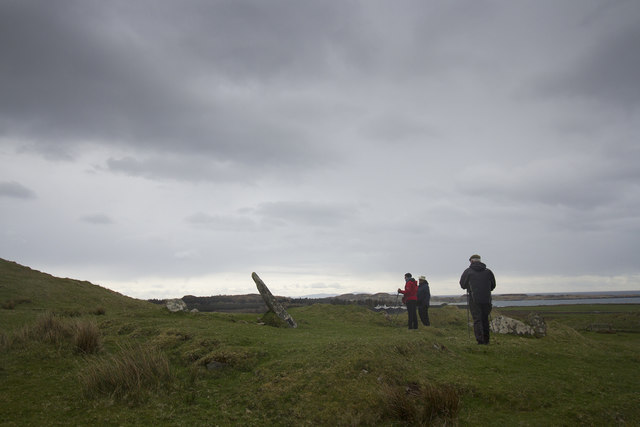
In addition to its natural wonders, Am Fasach has historical significance. Ruins of an ancient fort can be found on the headland, providing an insight into the area's past. The fort, believed to have been constructed during the Iron Age, offers a glimpse into the lives of the ancient inhabitants who once called this place home.
Overall, Am Fasach is a captivating coastal feature that showcases the rugged beauty and rich natural heritage of Argyllshire. Whether you're a nature lover, history enthusiast, or simply seeking a peaceful retreat, this headland offers a truly mesmerizing experience.
If you have any feedback on the listing, please let us know in the comments section below.
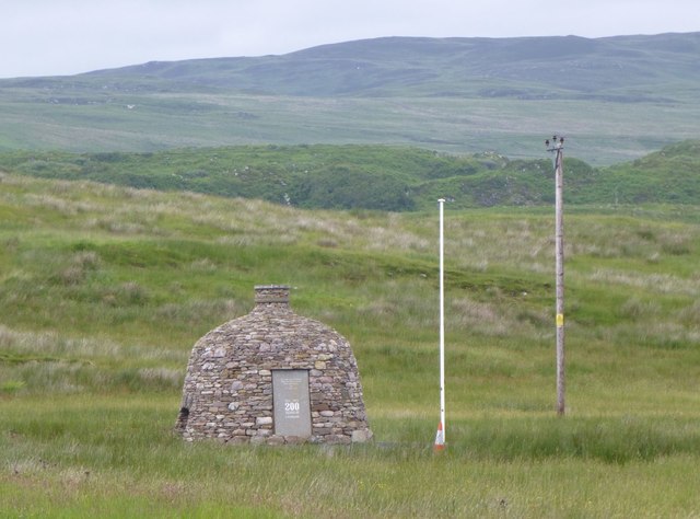
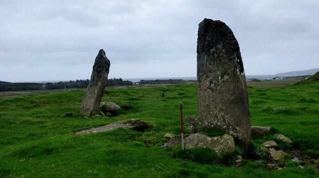
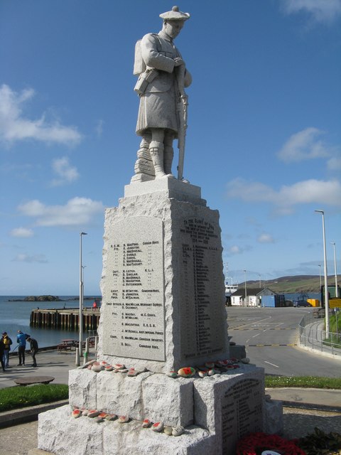
Am Fasach Images
Images are sourced within 2km of 55.630359/-6.1627034 or Grid Reference NR3845. Thanks to Geograph Open Source API. All images are credited.


Am Fasach is located at Grid Ref: NR3845 (Lat: 55.630359, Lng: -6.1627034)
Unitary Authority: Argyll and Bute
Police Authority: Argyll and West Dunbartonshire
What 3 Words
///clashing.correct.hairspray. Near Port Ellen, Argyll & Bute
Nearby Locations
Related Wikis

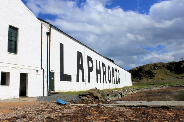
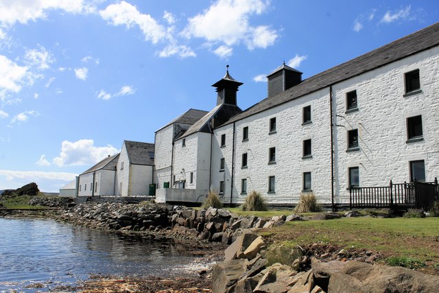
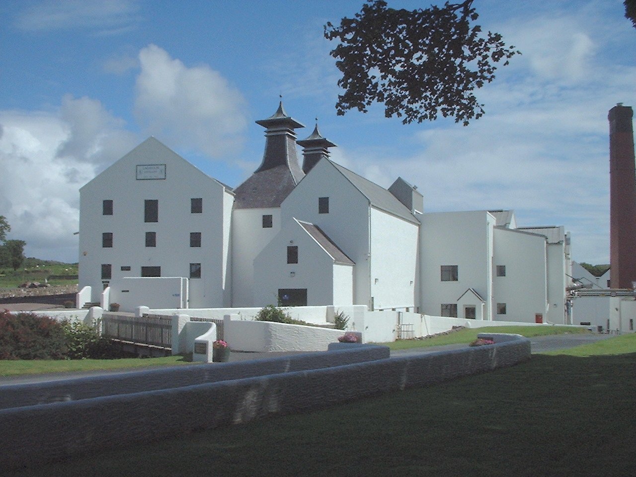
Laphroaig distillery
Laphroaig distillery ( lə-FROYG) is an Islay single malt Scotch whisky distillery. It is named after the area of land at the head of Loch Laphroaig on...

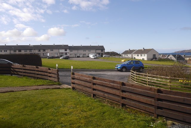
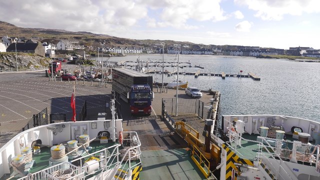
Port Ellen
Port Ellen (Scottish Gaelic: Port Ìlein) is a small town on the island of Islay, in Argyll, Scotland. The town is named after the wife of its founder,...

St John's Church, Port Ellen
St John's Church, Port Ellen is a Category B listed building in Port Ellen, Islay, Argyll and Bute, Scotland. == History == The memorial stone for the...

Texa
Texa (Scottish Gaelic: Teacsa) is a small island 700 metres (3⁄8 mile) directly south of Islay, in the Inner Hebrides, Scotland. It reaches a height of...

Port Ellen distillery
Port Ellen distillery is located in Port Ellen on the isle of Islay, Scotland. It initially operated between 1825 and 1983 when production shut down....

Lagavulin Bay
Lagavulin Bay is a bay on the south of Islay, Scotland. Directly in this bay lies the Lagavulin distillery. The name Lagavulin is an anglicisation of Lag...
Lagavulin
Lagavulin (Scottish Gaelic: Lag a' Mhuilinn, "hollow of the mill") is a small village approximately 3 miles (5 kilometres) outside Port Ellen on the Isle...

Ardbeg, Islay
Ardbeg (Scottish Gaelic: An Àird Bheag) is a small settlement on southern coast of the island of Islay off the west coast of Scotland. It is around 3 miles...
Nearby Amenities
Located within 500m of 55.630359,-6.1627034Have you been to Am Fasach?
Leave your review of Am Fasach below (or comments, questions and feedback).