Rubha na Faoilinn Bige
Coastal Feature, Headland, Point in Argyllshire
Scotland
Rubha na Faoilinn Bige
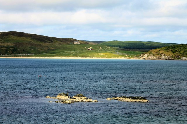
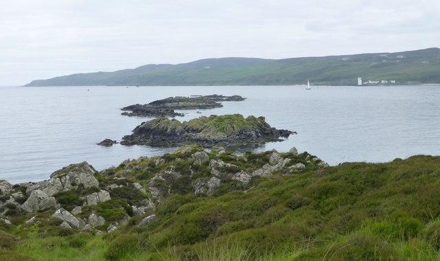
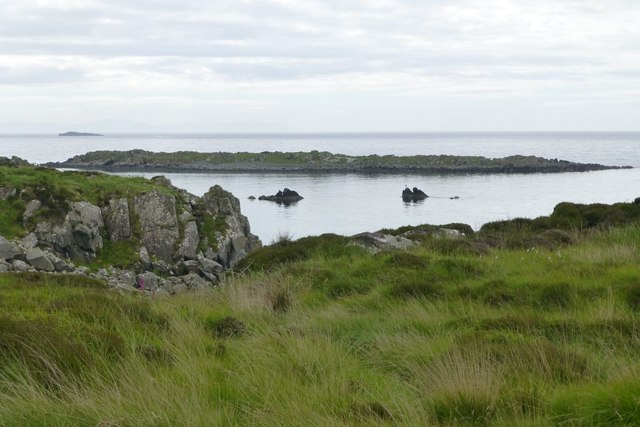
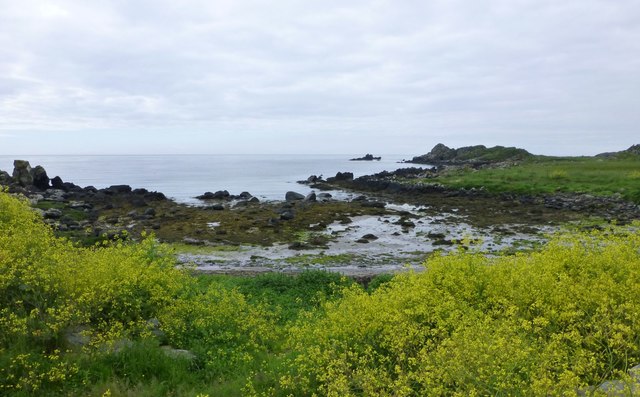
Rubha na Faoilinn Bige is a picturesque coastal feature located in Argyllshire, Scotland. Situated on the western coast, it is a headland that extends into the Atlantic Ocean, forming a prominent point. The name Rubha na Faoilinn Bige translates to "Point of the Small Seagulls" in English.
This stunning headland offers breathtaking views of the surrounding landscape, with its rugged cliffs and crashing waves. The area is known for its dramatic coastline, characterized by steep cliffs that drop dramatically into the sea below. These cliffs provide nesting sites for various seabird species, including the small seagulls that inspired the headland's name.
Visitors to Rubha na Faoilinn Bige can explore the headland by following coastal paths that wind their way along the cliff edges. The paths offer stunning vistas of the Atlantic Ocean and the nearby islands, providing ample opportunities for photography and wildlife observation.
Nature enthusiasts will also appreciate the abundant marine life found in the waters surrounding Rubha na Faoilinn Bige. The area is known for its diverse array of marine species, including seals, dolphins, and even the occasional whale sighting.
Overall, Rubha na Faoilinn Bige is a captivating coastal feature that showcases the natural beauty of Argyllshire. Its rugged cliffs, panoramic views, and rich wildlife make it a must-visit destination for nature lovers and those seeking an escape into Scotland's stunning coastal scenery.
If you have any feedback on the listing, please let us know in the comments section below.
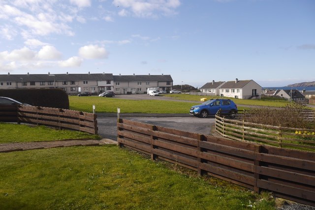
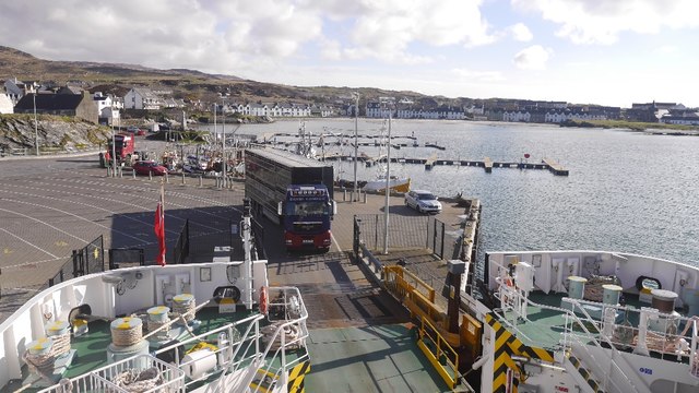
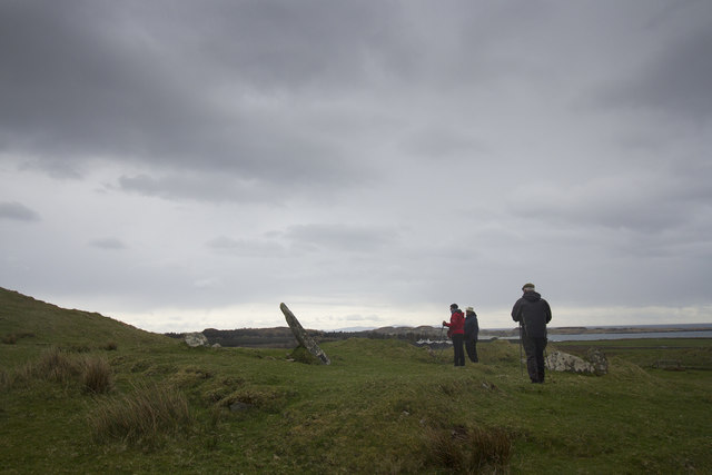
Rubha na Faoilinn Bige Images
Images are sourced within 2km of 55.629814/-6.1668423 or Grid Reference NR3745. Thanks to Geograph Open Source API. All images are credited.


Rubha na Faoilinn Bige is located at Grid Ref: NR3745 (Lat: 55.629814, Lng: -6.1668423)
Unitary Authority: Argyll and Bute
Police Authority: Argyll and West Dunbartonshire
What 3 Words
///laminated.observe.euphoric. Near Port Ellen, Argyll & Bute
Nearby Locations
Related Wikis

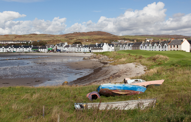
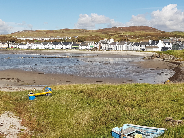
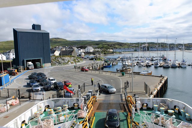
Port Ellen
Port Ellen (Scottish Gaelic: Port Ìlein) is a small town on the island of Islay, in Argyll, Scotland. The town is named after the wife of its founder,...

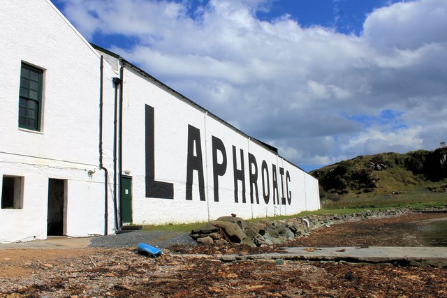
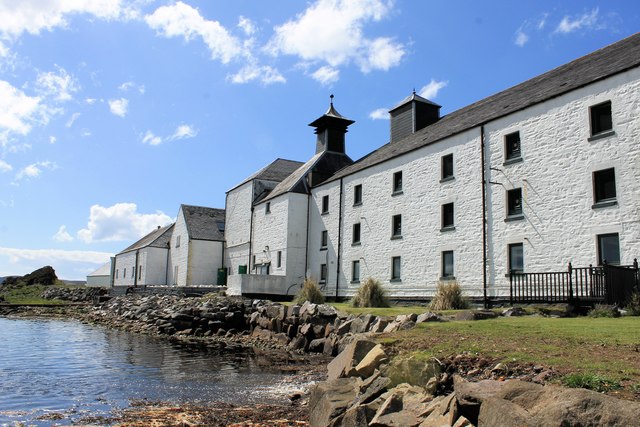
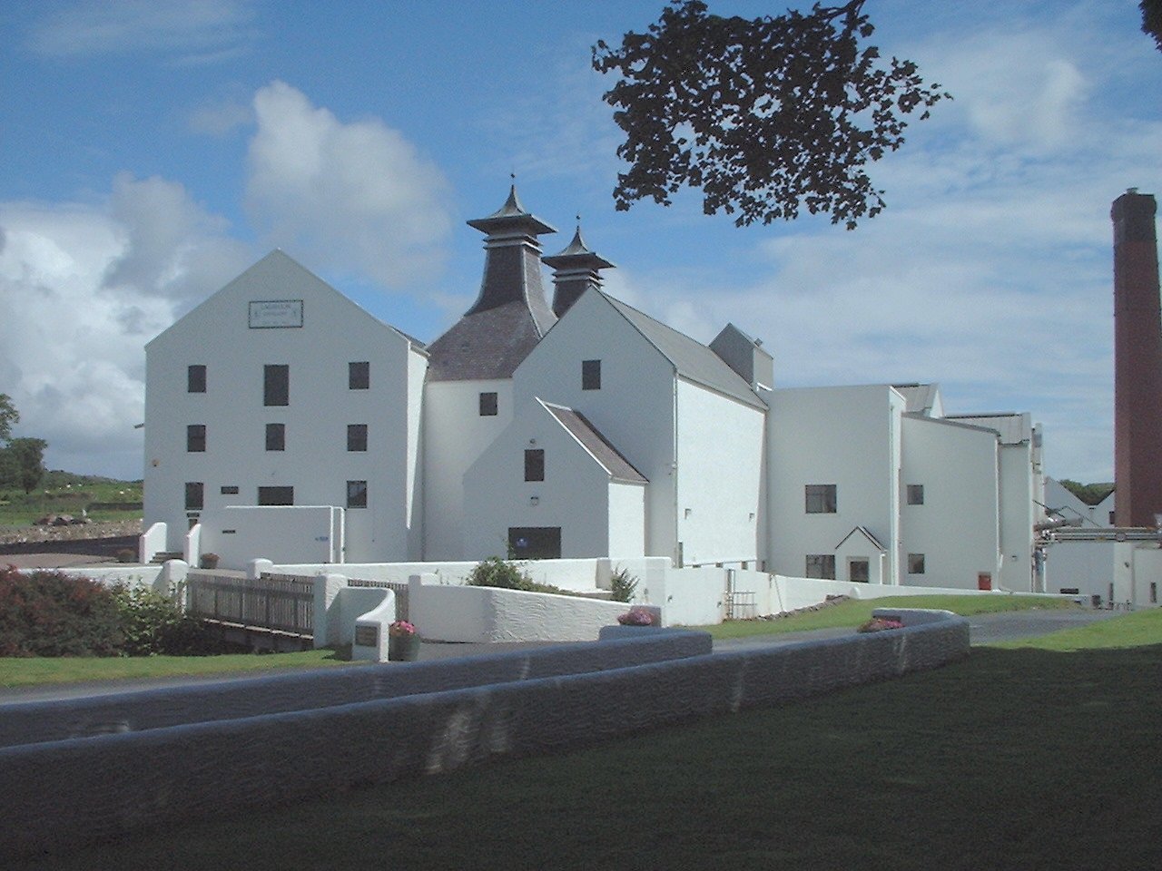
Laphroaig distillery
Laphroaig distillery ( lə-FROYG) is an Islay single malt Scotch whisky distillery. It is named after the area of land at the head of Loch Laphroaig on...

St John's Church, Port Ellen
St John's Church, Port Ellen is a Category B listed building in Port Ellen, Islay, Argyll and Bute, Scotland. == History == The memorial stone for the...

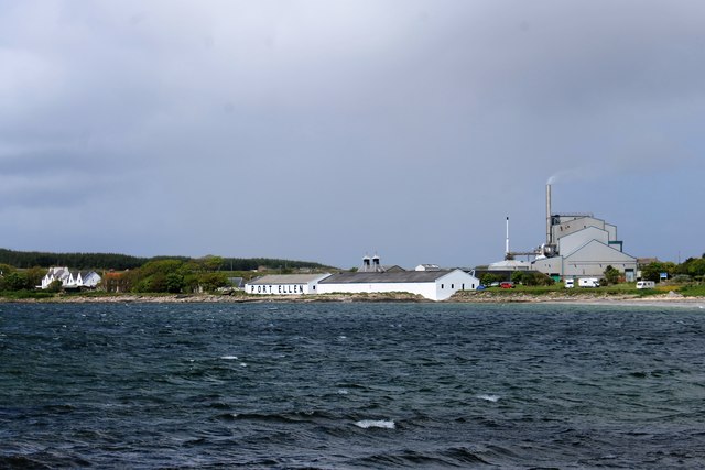
Port Ellen distillery
Port Ellen distillery is located in Port Ellen on the isle of Islay, Scotland. It initially operated between 1825 and 1983 when production shut down....

Texa
Texa (Scottish Gaelic: Teacsa) is a small island 700 metres (3⁄8 mile) directly south of Islay, in the Inner Hebrides, Scotland. It reaches a height of...

Lagavulin Bay
Lagavulin Bay is a bay on the south of Islay, Scotland. Directly in this bay lies the Lagavulin distillery. The name Lagavulin is an anglicisation of Lag...
Lagavulin
Lagavulin (Scottish Gaelic: Lag a' Mhuilinn, "hollow of the mill") is a small village approximately 3 miles (5 kilometres) outside Port Ellen on the Isle...

Ardbeg, Islay
Ardbeg (Scottish Gaelic: An Àird Bheag) is a small settlement on southern coast of the island of Islay off the west coast of Scotland. It is around 3 miles...
Nearby Amenities
Located within 500m of 55.629814,-6.1668423Have you been to Rubha na Faoilinn Bige?
Leave your review of Rubha na Faoilinn Bige below (or comments, questions and feedback).