Biod an Sgairbh
Coastal Feature, Headland, Point in Argyllshire
Scotland
Biod an Sgairbh

Biod an Sgairbh, located in Argyllshire, Scotland, is a prominent coastal feature that boasts a stunning headland and point. This natural formation is known for its rugged beauty and dramatic landscape, attracting both locals and tourists alike.
Situated on the west coast of Scotland, Biod an Sgairbh is surrounded by the vast expanse of the North Atlantic Ocean. Its strategic location offers breathtaking panoramic views of the surrounding area, including the nearby islands and the distant mountains of the Scottish Highlands. The headland is characterized by its steep cliffs, which provide a nesting place for various seabird species, including gannets and puffins, making it a haven for birdwatchers and nature enthusiasts.
The point of Biod an Sgairbh projects out into the ocean, forming a narrow peninsula that juts into the water. This geographical feature creates a sense of isolation and offers visitors a unique opportunity to experience the power and beauty of the sea. The crashing waves, combined with the wind-sculpted cliffs, create a captivating and awe-inspiring sight.
Accessible by foot, Biod an Sgairbh offers several hiking trails that cater to different skill levels. These paths meander through the rugged terrain, providing visitors with the chance to explore the diverse flora and fauna that call this area home. It is recommended to bring appropriate footwear and clothing to navigate the sometimes challenging terrain and unpredictable weather conditions.
In conclusion, Biod an Sgairbh in Argyllshire is a captivating coastal feature, characterized by a remarkable headland and point. Visitors to this area will be treated to stunning views, diverse wildlife, and a truly immersive experience in the raw beauty of nature.
If you have any feedback on the listing, please let us know in the comments section below.
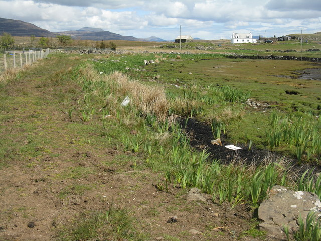
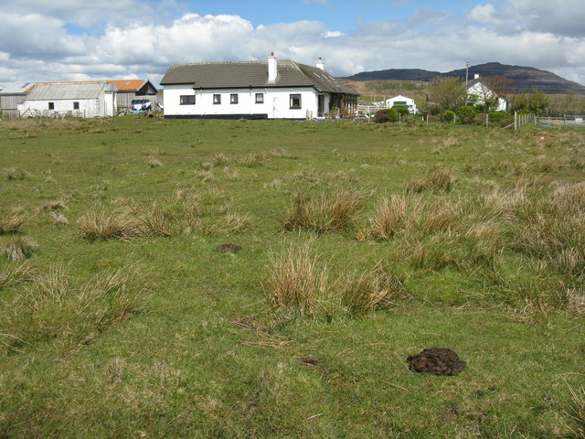
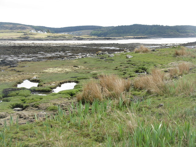
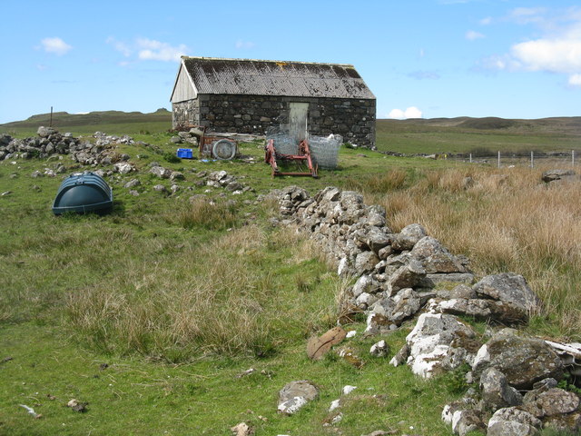
Biod an Sgairbh Images
Images are sourced within 2km of 56.343307/-6.2458226 or Grid Reference NM3724. Thanks to Geograph Open Source API. All images are credited.


Biod an Sgairbh is located at Grid Ref: NM3724 (Lat: 56.343307, Lng: -6.2458226)
Unitary Authority: Argyll and Bute
Police Authority: Argyll and West Dunbartonshire
What 3 Words
///splendid.stay.resources. Near Fionnphort, Argyll & Bute
Nearby Locations
Related Wikis

Ardtun
Ardtun (Scottish Gaelic: Àird Tunna) is a settlement on the Isle of Mull, in Argyll and Bute, Scotland. Ardtun is within the parish of Kilfinichen and...

Camas Tuath
Camas Tuath (Scottish Gaelic: north bay) is an inlet bay on the Ross of Mull. The bay has two small tidal islands and two Quarrymans' Cottages which the...
Suidhe
Suidhe (Scottish Gaelic: Suidhe) is a ruined township located on the southwestern peninsula of the Isle of Mull, Scotland. It lies just over 1 km to the...

Knockan
Knockan (Scottish Gaelic: An Cnocan) is a township of six crofts in the community of Ardtun, in the south of the Isle of Mull off the west coast of Scotland...
Have you been to Biod an Sgairbh?
Leave your review of Biod an Sgairbh below (or comments, questions and feedback).