Lochside
Settlement in Kincardineshire
Scotland
Lochside
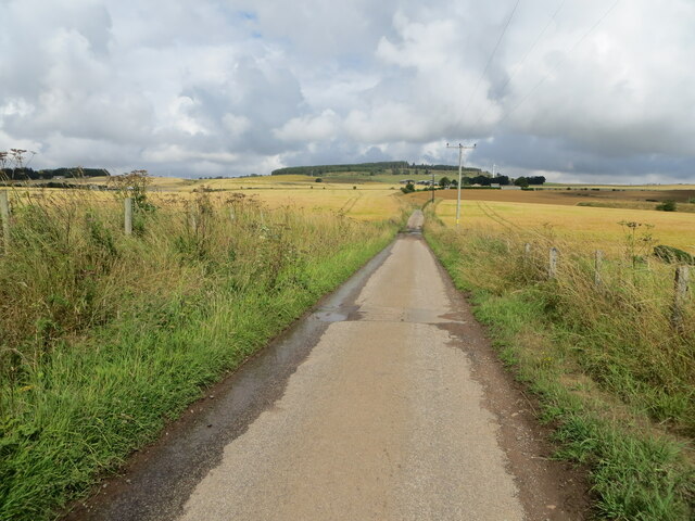
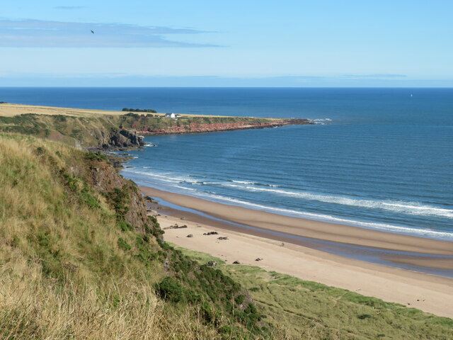
Lochside is a picturesque village located in the county of Kincardineshire, Scotland. Situated on the eastern coast, it lies approximately 15 miles south of Aberdeen. The village is named after its close proximity to the stunning Loch of Skene, which serves as a prominent feature of the area.
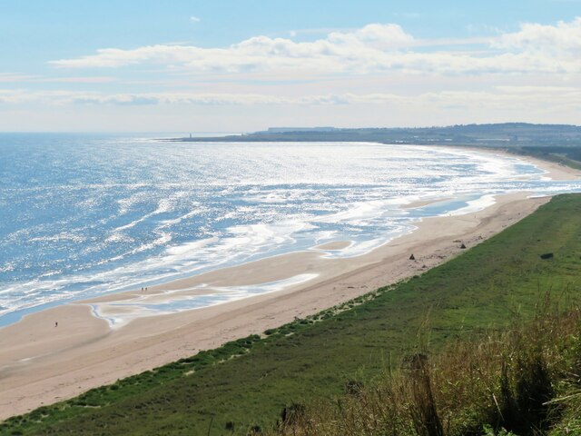
One of the defining characteristics of Lochside is its tranquil and idyllic setting. Surrounded by rolling hills and lush green landscapes, the village offers a peaceful retreat away from the hustle and bustle of city life. The Loch of Skene itself is a popular destination for nature enthusiasts and birdwatchers, offering a variety of wildlife and beautiful scenic views.
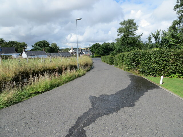
The village of Lochside is a close-knit community, with a small population that primarily relies on agriculture and tourism for their livelihood. The village has a primary school, providing education for the local children, and a few small businesses catering to the needs of the residents and visitors alike.
For those seeking outdoor activities, Lochside offers an abundance of opportunities. The surrounding countryside provides ample space for walking, cycling, and fishing. In addition, there are several hiking trails and nature reserves in the area, allowing visitors to explore the diverse flora and fauna of Kincardineshire.
Overall, Lochside in Kincardineshire is a charming and peaceful village, offering a tranquil escape and plenty of natural beauty for residents and visitors to enjoy.
If you have any feedback on the listing, please let us know in the comments section below.
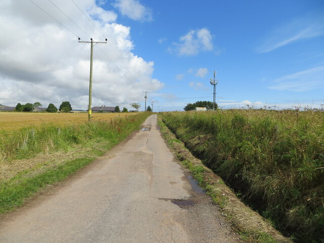
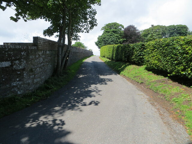
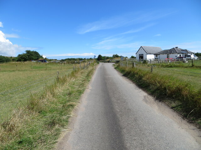
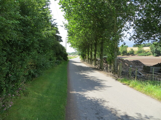
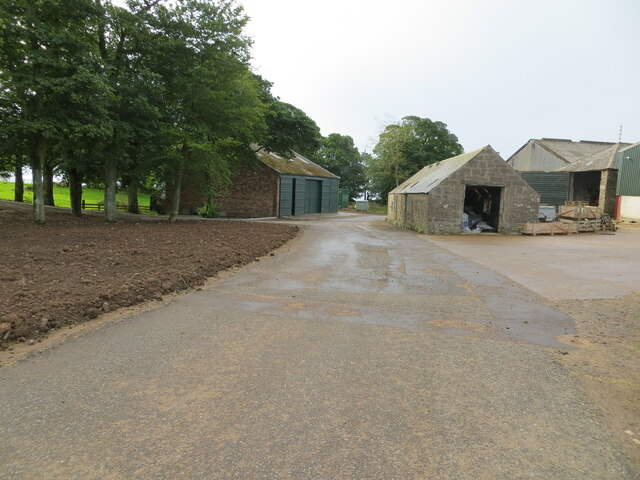
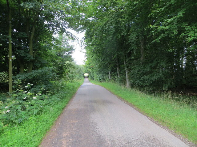
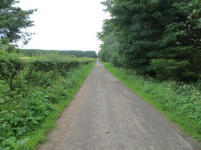
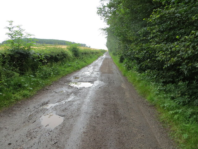
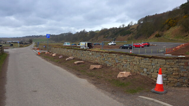
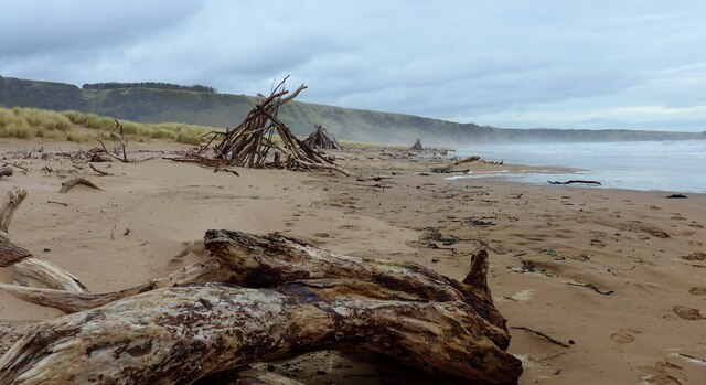
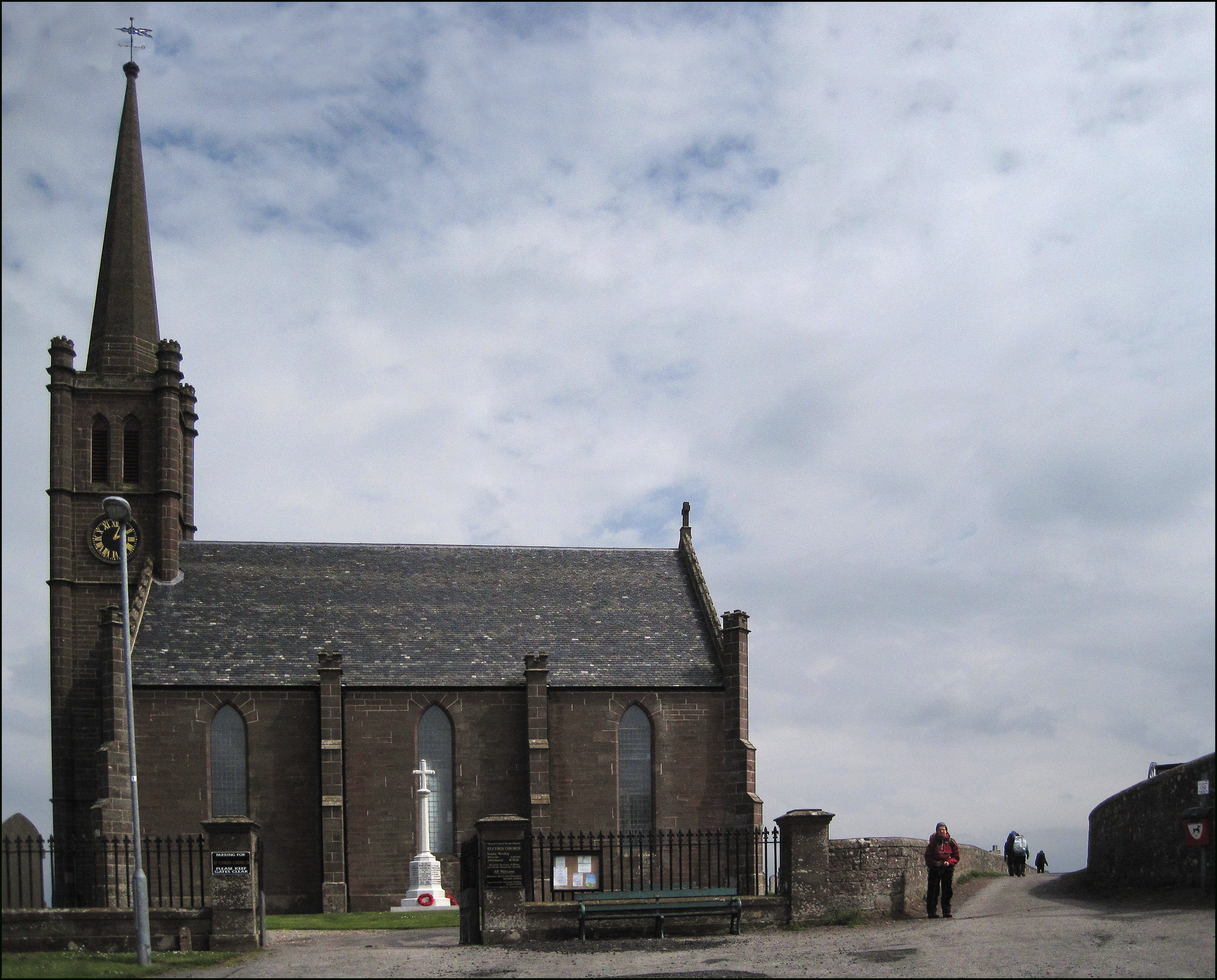
Lochside Images
Images are sourced within 2km of 56.773532/-2.430419 or Grid Reference NO7364. Thanks to Geograph Open Source API. All images are credited.
Lochside is located at Grid Ref: NO7364 (Lat: 56.773532, Lng: -2.430419)
Unitary Authority: Aberdeenshire
Police Authority: North East
What 3 Words
///masks.spokes.skims. Near St Cyrus, Aberdeenshire
Related Wikis
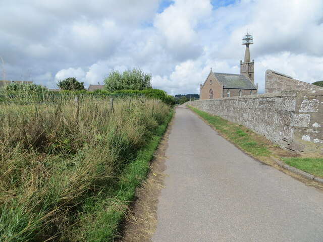
St Cyrus
St Cyrus or Saint Cyrus (Scots: Saunt Ceerus), formerly Ecclesgreig (from Scottish Gaelic: Eaglais Chiric) is a village in the far south of Aberdeenshire...

St Cyrus railway station
St Cyrus railway station served the village of St Cyrus, Aberdeenshire, Scotland from 1865 to 1951. == History == The station was opened on 1 November...

St Cyrus National Nature Reserve
St Cyrus National Nature Reserve (NNR) is situated between the village of St Cyrus and the North Sea in the far south of the council area of Aberdeenshire...

Lauriston railway station
Lauriston railway station served the village of Bush, Aberdeenshire, Scotland from 1865 to 1966 on the Montrose and Bervie Railway. == History == The station...

River North Esk, Angus
The North Esk (Scottish Gaelic: Easg Thuath) is a river in Angus and Aberdeenshire, Scotland. It is formed by the meeting of the Water of Mark (from Glen...

North Water Bridge Halt railway station
North Water Bridge Halt railway station served the village of St Cyrus, Aberdeenshire, Scotland from 1866 to 1951 on the Montrose and Bervie Railway....

Lauriston Castle, Aberdeenshire
Lauriston Castle stands on a clifftop site near the Aberdeenshire village of St Cyrus and just over a mile inland from the North Sea coast of Scotland...

Stone of Morphie
The Stone of Morphie (sometimes known as the Stone of Morphy) is a standing stone about 700 metres west of the Coast Highway (A92 road) bridge of the River...
Nearby Amenities
Located within 500m of 56.773532,-2.430419Have you been to Lochside?
Leave your review of Lochside below (or comments, questions and feedback).