An Caigionn
Coastal Feature, Headland, Point in Argyllshire
Scotland
An Caigionn
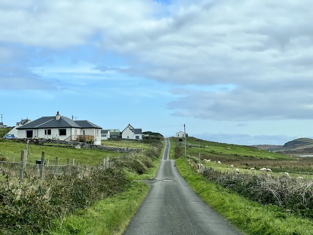
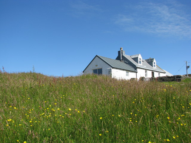
An Caigionn, located in Argyllshire, Scotland, is a prominent coastal feature known for its stunning headland and point. Situated on the western coast of Scotland, it offers breathtaking views of the surrounding landscape and the vast Atlantic Ocean. The name "An Caigionn" translates to "The Keel" in English, which perfectly captures the shape and structure of the headland.
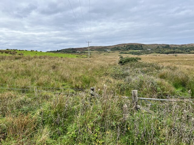
The headland at An Caigionn juts out into the ocean, forming a distinctive point that extends into the water. It is a rugged and dramatic landscape characterized by steep cliffs, rocky outcrops, and a diverse range of flora and fauna. The cliffs are composed of ancient rocks, displaying layers of sedimentary deposits that tell the geological history of the region.
Visitors to An Caigionn can enjoy various activities such as hiking, birdwatching, and photography. The headland provides an ideal vantage point to observe seabirds, including gannets, puffins, and fulmars, as they soar above the crashing waves. During certain times of the year, it is also possible to spot seals basking on nearby rocks or dolphins swimming in the distance.
The natural beauty and tranquility of An Caigionn attract both locals and tourists seeking to immerse themselves in Scotland's rugged coastal scenery. The headland's remote location ensures a peaceful and serene experience, away from the hustle and bustle of urban life. Whether it's admiring the stunning sunsets, exploring the nearby coastal paths, or simply taking in the awe-inspiring surroundings, An Caigionn offers a memorable coastal experience for all who visit.
If you have any feedback on the listing, please let us know in the comments section below.
An Caigionn Images
Images are sourced within 2km of 56.092779/-6.2263885 or Grid Reference NR3796. Thanks to Geograph Open Source API. All images are credited.


An Caigionn is located at Grid Ref: NR3796 (Lat: 56.092779, Lng: -6.2263885)
Unitary Authority: Argyll and Bute
Police Authority: Argyll and West Dunbartonshire
What 3 Words
///trailing.muddle.aced. Near Scalasaig, Argyll & Bute
Nearby Locations
Related Wikis

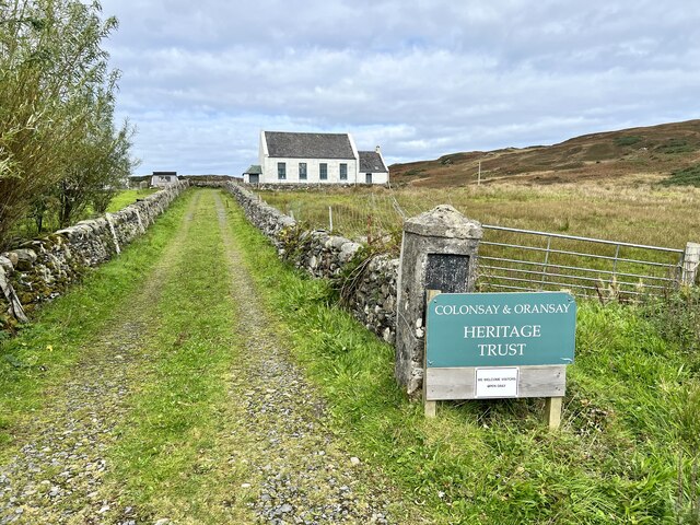
Chapel of St. Mary, Colonsay
The Chapel of St. Mary (Scottish Gaelic: Cill Mhoire), was a chapel dedicated to Saint Mary at Upper Kilchattan located on the Inner Hebridean island of...

Loch an Sgoltaire
Loch an Sgoltaire is an impounding reservoir located on the Inner Hebridean island of Colonsay, Scotland. It is located at grid reference NR386972, northwest...
Dùn Uragaig
Dùn Uragaig is a clifftop promontory fort located on the Inner Hebridean island of Colonsay, Scotland. The site is located at grid reference NR38169826...

Loch Fada (Colonsay)
Loch Fada (English: Long Lake) is a loch located on the Inner Hebridean island of Colonsay, Scotland. It extends between Kiloran and Lower Kilchattan...

St Cathan's Chapel
St Cathan's Chapel (Scottish Gaelic: Cill Chatan) is a ruined chapel on the island of Colonsay, Scotland in the Inner Hebrides. It was dedicated to Cathan...
Dùn Tealtaig
Dùn Tealtaig is a promontory fort located on the Inner Hebridean island of Colonsay, Scotland. The site is located at grid reference NR38909839.The fort...
Chapel of St. Oran, Colonsay
The Chapel of St. Oran (Scottish Gaelic: Cill Oran), was a chapel dedicated to Saint Oran at Kiloran located on the Inner Hebridean island of Colonsay...

Colonsay House
Colonsay House is a Georgian country house on the island of Colonsay, in the Scottish Inner Hebrides. It is a Category B listed building, and is now in...
Nearby Amenities
Located within 500m of 56.092779,-6.2263885Have you been to An Caigionn?
Leave your review of An Caigionn below (or comments, questions and feedback).