An Crann
Coastal Feature, Headland, Point in Argyllshire
Scotland
An Crann
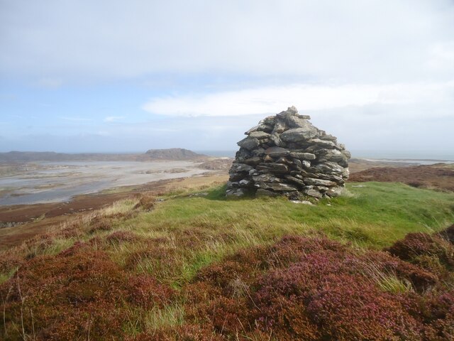
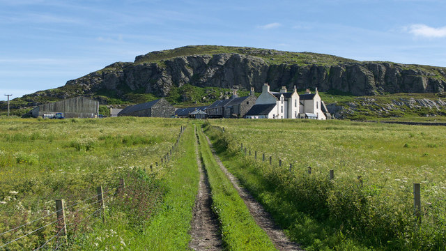
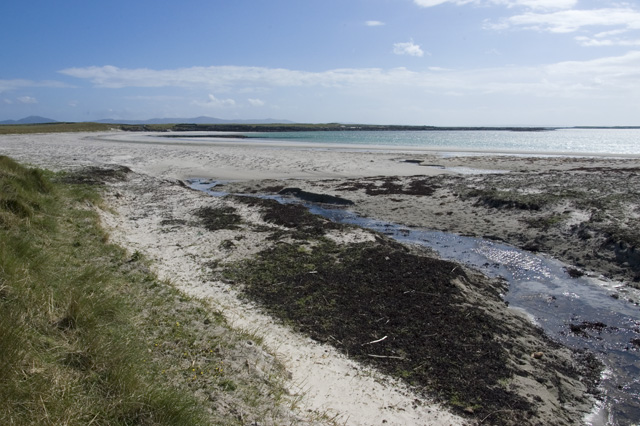
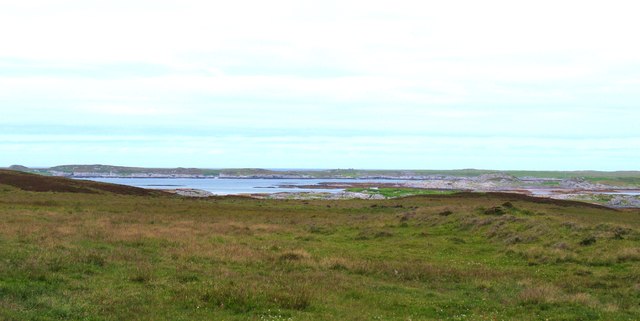
An Crann is a prominent headland located in Argyllshire, Scotland. Situated on the west coast, it is renowned for its rugged beauty and commanding views of the surrounding coastal landscape. The name "An Crann" translates to "The Tree" in Gaelic, possibly due to the solitary tree that once stood on the headland.
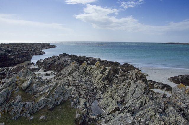
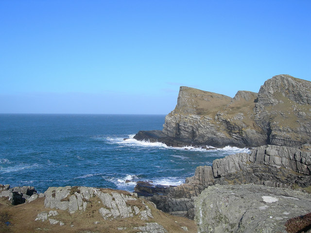
This coastal feature is characterized by its steep cliffs, which rise dramatically from the sea, reaching heights of up to 100 meters. These cliffs provide a nesting habitat for various seabird species, including gannets, puffins, and razorbills, making An Crann a popular spot for birdwatchers and nature enthusiasts.
The headland offers breathtaking vistas of the surrounding area, with panoramic views of the vast Atlantic Ocean and the nearby islands of Mull and Jura. On clear days, visitors can even catch glimpses of the distant mountains of the Isle of Skye.
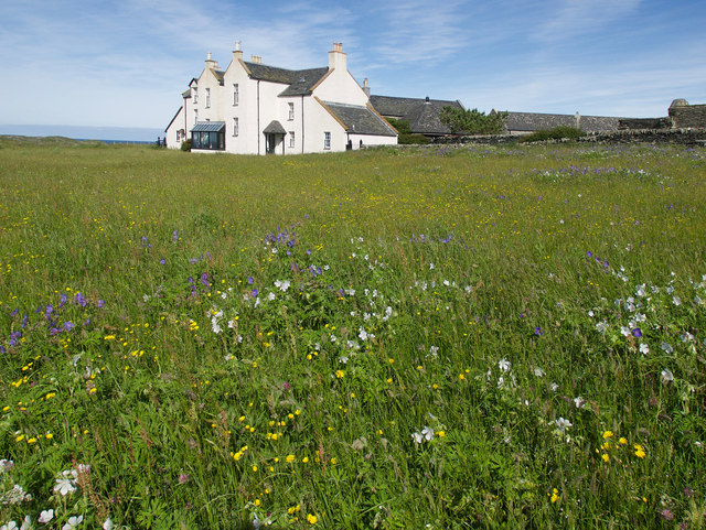
Access to An Crann is relatively easy, with a well-maintained footpath leading to the headland. The path meanders through picturesque coastal heathland, offering opportunities to spot wildflowers, such as heather and sea pink, as well as a diverse range of wildlife, including seals and dolphins.
Due to its exposed location, An Crann is subject to strong winds and rough seas, making it a popular spot for windsurfing and other water sports. However, caution is advised, as the currents can be treacherous, and the cliffs are dangerous to approach too closely.
Overall, An Crann is a stunning coastal feature that showcases the natural beauty of Argyllshire. Its towering cliffs, abundant wildlife, and breathtaking views make it a must-visit destination for nature lovers and outdoor enthusiasts.
If you have any feedback on the listing, please let us know in the comments section below.
An Crann Images
Images are sourced within 2km of 56.023116/-6.2719032 or Grid Reference NR3389. Thanks to Geograph Open Source API. All images are credited.


An Crann is located at Grid Ref: NR3389 (Lat: 56.023116, Lng: -6.2719032)
Unitary Authority: Argyll and Bute
Police Authority: Argyll and West Dunbartonshire
What 3 Words
///payer.skims.worthy. Near Scalasaig, Argyll & Bute
Nearby Locations
Related Wikis

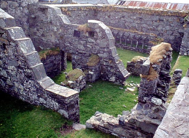
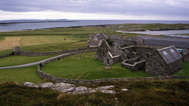
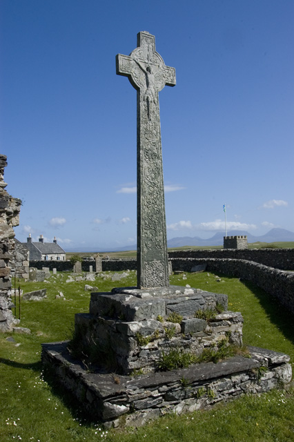
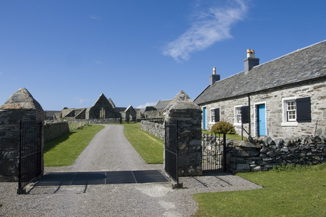
Oronsay Priory
Oronsay Priory was a monastery of canons regular on the island of Oronsay, Inner Hebrides, Argyll, off the coast of Scotland. It was in existence by 1353...

Oronsay, Colonsay
Oronsay (Scottish Gaelic: Orasaigh), also sometimes spelt and pronounced Oransay by the local community, is a small tidal island south of Colonsay in the...

Ardskenish
Ardskenish is a hamlet on the island of Colonsay, in the civil parish of Colonsay and Oronsay, in the council area of Argyll and Bute, Scotland. ��2�...

Dùn Galláin
Dùn Galláin (English: Fort of the Strangers) is a promontory fort located on the Inner Hebridean island of Colonsay, Scotland. The site is located at grid...
Colonsay Airport
Colonsay Airport (Scottish Gaelic: Port-adhair Colbhasaigh) (IATA: CSA, ICAO: EGEY) is located on the island of Colonsay, Argyll and Bute, Scotland. Located...
Dùn Cholla
Dùn Cholla is a hill fort located on the Inner Hebridean island of Colonsay, Scotland. The site is located at grid reference NR37759150.According to tradition...
Dùn Meadhonach
Dùn Meadhonach (English: Middle Fort) is a hillfort located on the Inner Hebridean island of Colonsay, Scotland. The site is located at grid reference...
Colonsay Group
The Colonsay Group is an estimated 5,000 m thick sequence of mildly metamorphosed Neoproterozoic sedimentary rocks that outcrop on the islands of Colonsay...
Nearby Amenities
Located within 500m of 56.023116,-6.2719032Have you been to An Crann?
Leave your review of An Crann below (or comments, questions and feedback).