An Dubh Sgeir
Coastal Feature, Headland, Point in Argyllshire
Scotland
An Dubh Sgeir
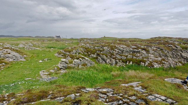
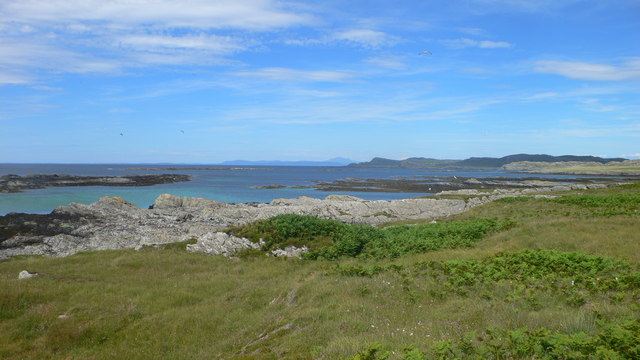
An Dubh Sgeir is a prominent coastal feature located in Argyllshire, Scotland. Also known as "The Black Skerry," it is a headland that juts out into the sea, forming a distinctive point on the coastline.
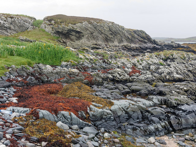
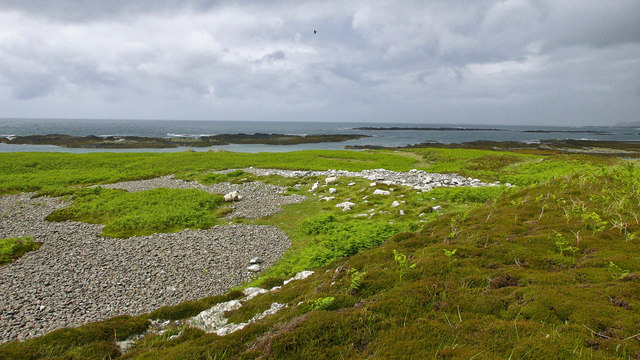
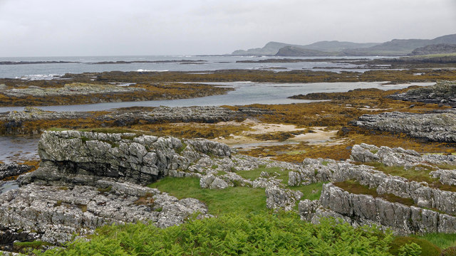
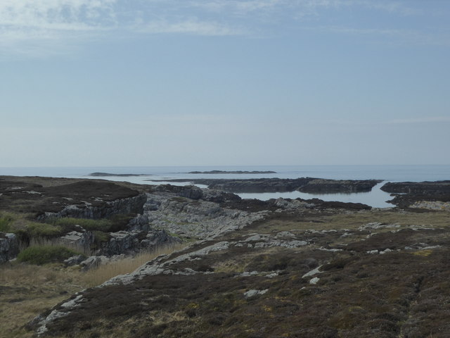
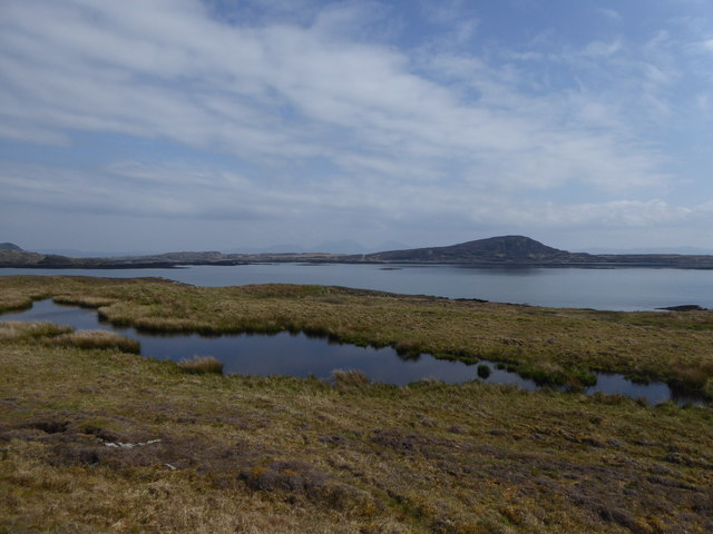
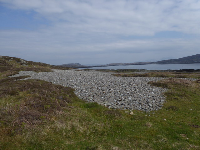
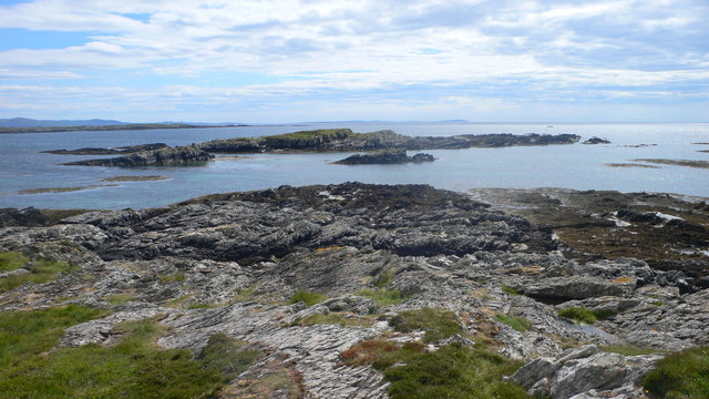
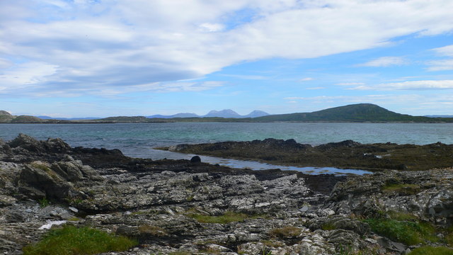
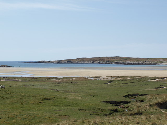
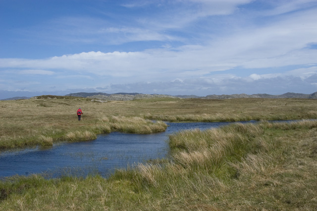
Situated along the western coast of Scotland, An Dubh Sgeir is a rugged and picturesque landscape. It is composed of dark, volcanic rocks, which give the headland its name. The exposed cliffs and jagged formations create a dramatic and imposing sight, attracting both locals and tourists alike.
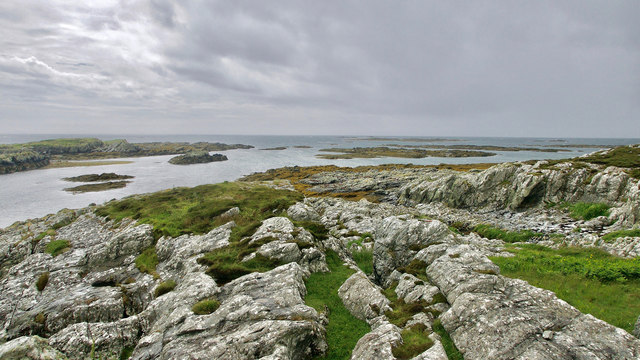
The headland offers stunning panoramic views of the surrounding area. From An Dubh Sgeir, one can see the vast expanse of the Atlantic Ocean stretching out towards the horizon. On clear days, the nearby islands of Islay and Jura can also be spotted, adding to the scenic beauty of the location.
The coastal area surrounding An Dubh Sgeir is home to a diverse range of wildlife. Seabird colonies, including gannets, puffins, and guillemots, can be found nesting on the cliffs. Grey seals are often seen basking on the rocks, while dolphins and porpoises occasionally make appearances offshore.
For outdoor enthusiasts, An Dubh Sgeir offers various opportunities for exploration and adventure. Hiking trails wind their way along the headland, allowing visitors to discover hidden coves, sea caves, and other natural wonders. The area is also popular among anglers, who come to fish in the rich waters teeming with marine life.
An Dubh Sgeir is not only a significant coastal feature but also a place of natural beauty and ecological importance. Its rugged cliffs, diverse wildlife, and breathtaking views make it a must-visit destination for nature lovers and those seeking an authentic Scottish experience.
If you have any feedback on the listing, please let us know in the comments section below.
An Dubh Sgeir Images
Images are sourced within 2km of 56.041003/-6.2947223 or Grid Reference NR3291. Thanks to Geograph Open Source API. All images are credited.


An Dubh Sgeir is located at Grid Ref: NR3291 (Lat: 56.041003, Lng: -6.2947223)
Unitary Authority: Argyll and Bute
Police Authority: Argyll and West Dunbartonshire
What 3 Words
///farmer.mottled.upstream. Near Scalasaig, Argyll & Bute
Nearby Locations
Related Wikis

Ardskenish
Ardskenish is a hamlet on the island of Colonsay, in the civil parish of Colonsay and Oronsay, in the council area of Argyll and Bute, Scotland. ��2�...

Dùn Galláin
Dùn Galláin (English: Fort of the Strangers) is a promontory fort located on the Inner Hebridean island of Colonsay, Scotland. The site is located at grid...

Oronsay Priory
Oronsay Priory was a monastery of canons regular on the island of Oronsay, Inner Hebrides, Argyll, off the coast of Scotland. It was in existence by 1353...
Colonsay Airport
Colonsay Airport (Scottish Gaelic: Port-adhair Colbhasaigh) (IATA: CSA, ICAO: EGEY) is located on the island of Colonsay, Argyll and Bute, Scotland. Located...

Oronsay, Colonsay
Oronsay (Scottish Gaelic: Orasaigh), also sometimes spelt and pronounced Oransay by the local community, is a small tidal island south of Colonsay in the...
Dùn Meadhonach
Dùn Meadhonach (English: Middle Fort) is a hillfort located on the Inner Hebridean island of Colonsay, Scotland. The site is located at grid reference...

St Cathan's Chapel
St Cathan's Chapel (Scottish Gaelic: Cill Chatan) is a ruined chapel on the island of Colonsay, Scotland in the Inner Hebrides. It was dedicated to Cathan...
Dùn Cholla
Dùn Cholla is a hill fort located on the Inner Hebridean island of Colonsay, Scotland. The site is located at grid reference NR37759150.According to tradition...
Have you been to An Dubh Sgeir?
Leave your review of An Dubh Sgeir below (or comments, questions and feedback).