Creag nam Faoileann

Coastal Feature, Headland, Point in Argyllshire

Scotland

Creag nam Faoileann

Across Canna Harbour
Across Canna Harbour Credit: Alan Reid

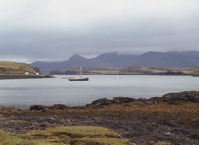
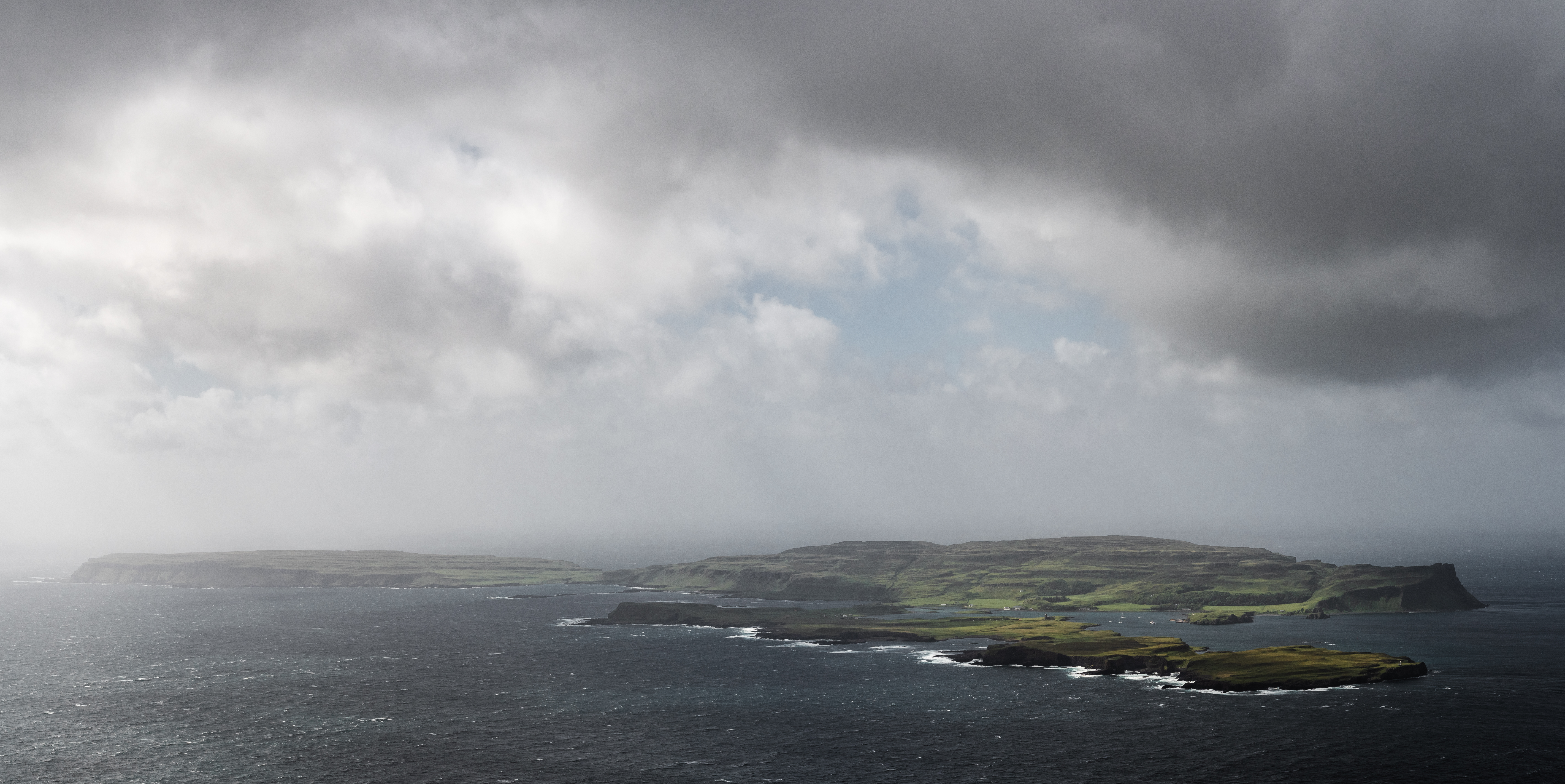
Creag nam Faoileann is a prominent coastal feature located in Argyllshire, Scotland. It is a stunning headland that juts out into the sea, forming a prominent point along the coast. The name Creag nam Faoileann translates to "Rock of the Seagulls" in English, which is a fitting description given the abundant seagull population that inhabits the area.

The headland is characterized by its rugged and dramatic cliffs, which rise up from the sea to a considerable height. The cliffs are made up of layers of sedimentary rock, providing a glimpse into the geological history of the area. The rock formations are known to be millions of years old and are often visited by geologists and nature enthusiasts alike.

The coastal feature offers breathtaking panoramic views, with the vast expanse of the sea stretching out in front. On a clear day, one can see the neighboring islands and the distant mountains of the Scottish Highlands. The area is also rich in marine life, with seals and dolphins often spotted in the surrounding waters.

Creag nam Faoileann is a popular destination for hikers and nature lovers, who are drawn to its natural beauty and tranquility. There are several walking trails that wind along the headland, providing opportunities to explore the diverse flora and fauna that call this place home. Birdwatchers are especially fond of the area, as it provides an ideal habitat for various seabird species.

Overall, Creag nam Faoileann is a captivating coastal feature that showcases the rugged beauty of Argyllshire. Its dramatic cliffs, stunning views, and abundant wildlife make it a must-visit destination for anyone seeking a connection with nature.

If you have any feedback on the listing, please let us know in the comments section below.

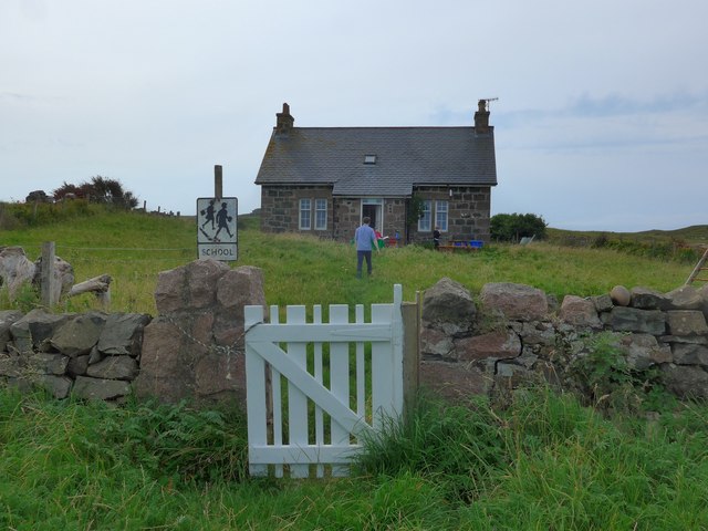
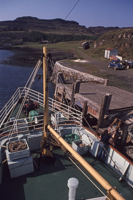
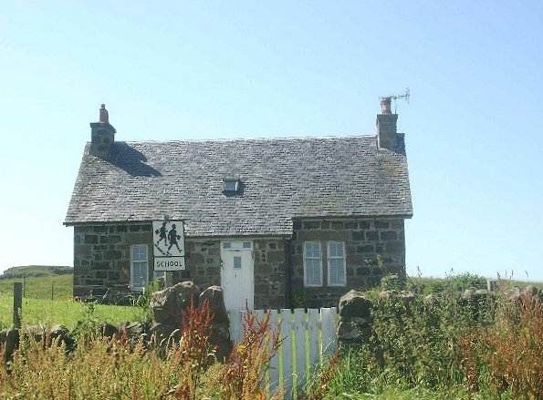
Creag nam Faoileann Images

Images are sourced within 2km of 57.045036/-6.4774973 or Grid Reference NG2803. Thanks to Geograph Open Source API. All images are credited.

Across Canna Harbour
Canna's church
Canna's church
The Loch Nevis ferry arriving in Canna Harbour Because of tight manoeuvring space, she comes into the harbour going astern.  Note the perch midway between the ferry and the jetty, marking a patch of shoal water very close to the ro-ro slip.
The Loch Nevis ferry arriving in Canna Harbour
Because of tight manoeuvring space, she comes into the harbour going astern. Note the perch midway between the ferry and the jetty, marking a patch of shoal water very close to the ro-ro slip.
The Loch Nevis ferry in Canna Harbour Note the perch to the right of the ferry, marking a patch of shoal water very close to the ro-ro slip
The Loch Nevis ferry in Canna Harbour
Note the perch to the right of the ferry, marking a patch of shoal water very close to the ro-ro slip
The school on Sanday (Canna) in August 2016 The figure in blue is the teacher who told us that this was the second day of term at the school and also his second day of teaching in Canna, having previously taught in Glasgow.   He has three pupils.

Compare with <a href="https://www.geograph.org.uk/photo/42148">NG2604 : The School, Canna</a>
The school on Sanday (Canna) in August 2016
The figure in blue is the teacher who told us that this was the second day of term at the school and also his second day of teaching in Canna, having previously taught in Glasgow. He has three pupils. Compare with NG2604 : The School, Canna
Shop and cafe, Canna
Former Catholic church of St Edward, Sanday The church building, now deconsecrated, is owned by the National Trust for Scotland. It was restored and converted into a hostel, gaelic library and study centre by the Hebridean Trust. Since then, leaks have forced the removal of the archives and the closure of the building.
Former Catholic church of St Edward, Sanday
The church building, now deconsecrated, is owned by the National Trust for Scotland. It was restored and converted into a hostel, gaelic library and study centre by the Hebridean Trust. Since then, leaks have forced the removal of the archives and the closure of the building.
'Loch Arkaig' at Canna The Small Isles ferry from Mallaig calls.
See <a href="https://www.geograph.org.uk/photo/5643024">NM4199 : 'Loch Arkaig' in Loch Scresort</a> for a general view of 'Loch Arkaig' and information.
'Loch Arkaig' at Canna
The Small Isles ferry from Mallaig calls. See NM4199 : 'Loch Arkaig' in Loch Scresort for a general view of 'Loch Arkaig' and information.
'Loch Arkaig' at Canna The Small Isles ferry from Mallaig calls. In the background are Sanday and Rhum.
See <a href="https://www.geograph.org.uk/photo/5643024">NM4199 : 'Loch Arkaig' in Loch Scresort</a> for a general view of 'Loch Arkaig' and information.
'Loch Arkaig' at Canna
The Small Isles ferry from Mallaig calls. In the background are Sanday and Rhum. See NM4199 : 'Loch Arkaig' in Loch Scresort for a general view of 'Loch Arkaig' and information.
Canna ferry terminal A rather decorative waiting area.
Canna ferry terminal
A rather decorative waiting area.
Church Gate, St Columba's, Canna Apparently this was installed in 1969.
Church Gate, St Columba's, Canna
Apparently this was installed in 1969.
Beach below An Coroghan, Canna
Canna Harbour A sailing cruiser is motoring in. Some cruise ship passengers are being delivered by RIBs on the slipway.
Canna Harbour
A sailing cruiser is motoring in. Some cruise ship passengers are being delivered by RIBs on the slipway.
St Columba's Church gate
Graffiti, Canna Harbour It appears to be common practice for sailors to leave a calling card. They do not appear to be as good at climbing as their urban cousins.
Graffiti, Canna Harbour
It appears to be common practice for sailors to leave a calling card. They do not appear to be as good at climbing as their urban cousins.
Harbourmaster's office, Canna
Canna Harbour St Columba's Church is at centre left. The ferry terminal is at centre right, with Sanday and Rum beyond.
Canna Harbour
St Columba's Church is at centre left. The ferry terminal is at centre right, with Sanday and Rum beyond.
Alman and Compass Hill Alman is the rocky tidal islet in the centre of the photo. Behind and left of Alman, but appearing to merge with it, is the higher Coroghon Mòr (shown on the right in <a href="https://www.geograph.org.uk/photo/728904">NG2705 : An Coroghon</a>). Both of these rock stacks are dwarfed by Compass Hill beyond.
Alman and Compass Hill
Alman is the rocky tidal islet in the centre of the photo. Behind and left of Alman, but appearing to merge with it, is the higher Coroghon Mòr (shown on the right in NG2705 : An Coroghon). Both of these rock stacks are dwarfed by Compass Hill beyond.
Show me another place!

Creag nam Faoileann is located at Grid Ref: NG2803 (Lat: 57.045036, Lng: -6.4774973)

Unitary Authority: Highland

Police Authority: Highlands and Islands

What 3 Words

///squirted.bombard.equity. Near Elgol, Highland

Related Wikis

Sanday, Inner Hebrides

Sanday (Scottish Gaelic: Sandaigh; Scots: Sandee) is one of the Small Isles, in the Scottish Inner Hebrides. It is a tidal island linked to its larger...

St Edward's Church, Sanday

St Edward's Church, Sanday, is a deconsecrated, and now disused church on the small isle of Sanday, Inner Hebrides, Scotland. The church was a gift to...

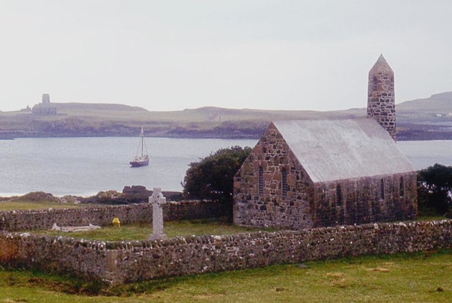
St Columba's Church, Canna

St Columba's Church is a Category B listed building on the isle of Canna, in the Small Isles, Highland, Scotland. == History == Prior to the building of...

A' Chill

A' Chill was a village on Canna, in the Scottish Small Isles. The name means "the cell", referring to a Culdee church, and is often anglicised as "Kil...

Canna, Scotland

Canna (; Scottish Gaelic: Canaigh, Eilean Chanaigh) is the westernmost of the Small Isles archipelago, in the Scottish Inner Hebrides. It is linked to...

Rùm

Rùm (Scottish Gaelic pronunciation: [rˠuːm]), a Scottish Gaelic name often anglicised to Rum ( rum), is one of the Small Isles of the Inner Hebrides,...

Nearby Amenities

Located within 500m of 57.045036,-6.4774973
Dun Beag
Place: locality
Source: OS_OpenData_StreetView
Lat/Long: 57.0448258/-6.472656
Dun Easubric
Place: locality
Source: OS_OpenData_StreetView
Lat/Long: 57.0442934/-6.4830897
Dun Mor
Place: locality
Source: OS_OpenData_StreetView
Lat/Long: 57.0442422/-6.474827
Easubric
Place: locality
Source: OS_OpenData_StreetView
Lat/Long: 57.0438912/-6.4807004
Garbh Sgeir
Place: locality
Source: OS_OpenData_StreetView
Lat/Long: 57.0432466/-6.4700055
Camas Stianabhaig
Place: locality
Source: OS_OpenData_StreetView
Lat/Long: 57.049174/-6.4772385
Creag nam Faoileann
Place: locality
Source: OS_OpenData_StreetView
Lat/Long: 57.0452006/-6.4777221
The data included in this document is from www.openstreetmap.org. The data is made available under ODbL.

Have you been to Creag nam Faoileann?

Leave your review of Creag nam Faoileann below (or comments, questions and feedback).