Am Borran
Coastal Feature, Headland, Point in Argyllshire
Scotland
Am Borran
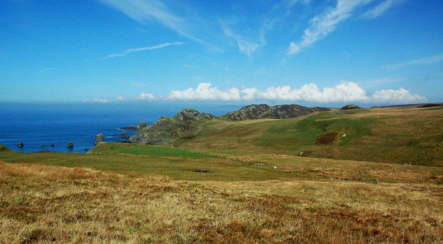
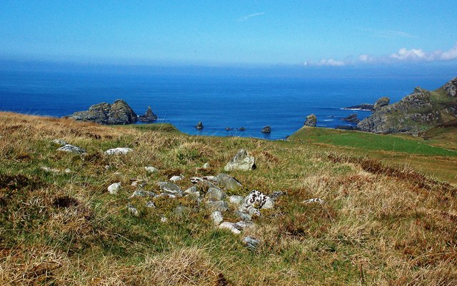
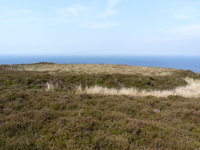
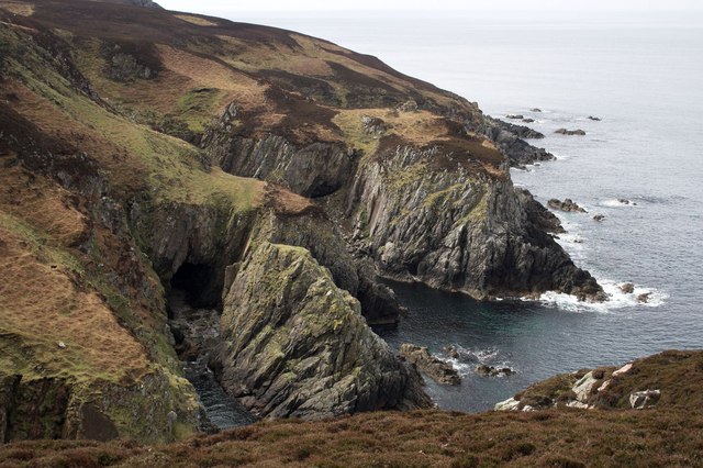
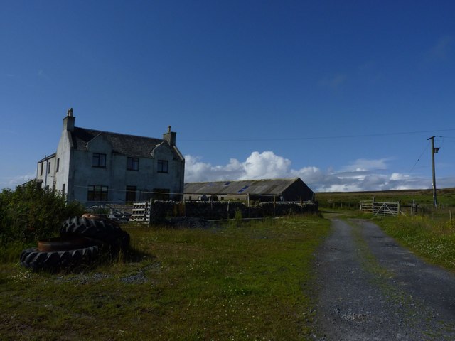
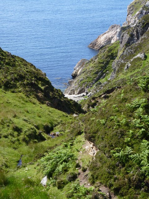
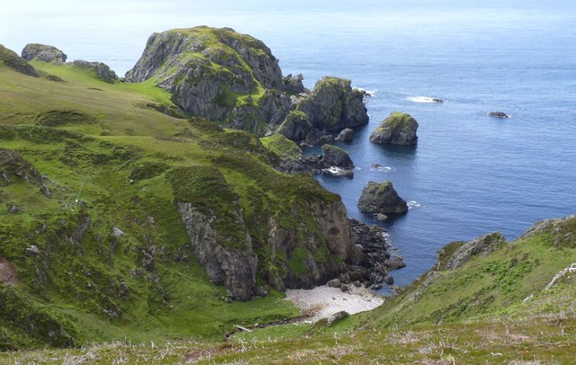
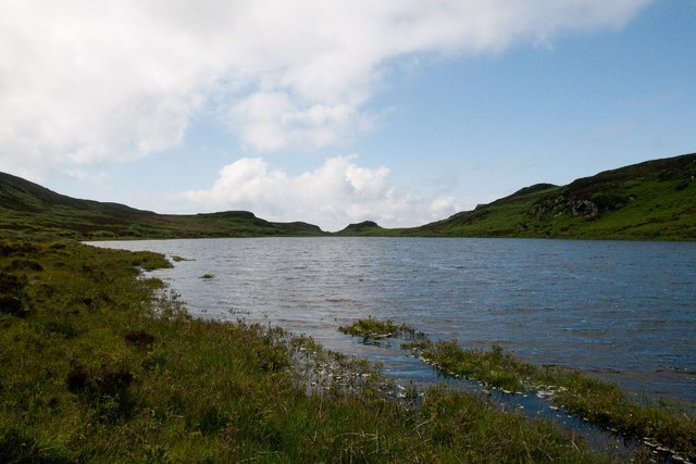
Am Borran is a stunning coastal feature located in Argyllshire, Scotland. It is a prominent headland that juts out into the Atlantic Ocean, offering breathtaking panoramic views of the surrounding landscape. With its rugged cliffs and rocky terrain, Am Borran provides a picturesque setting that attracts nature enthusiasts and outdoor adventurers alike.
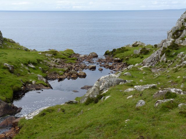
The headland is situated on the western coast of Argyllshire, near the village of Tayvallich. Its strategic location provides a natural barrier against the powerful waves of the Atlantic, making it an ideal spot for observing coastal erosion and the forces of nature at work. The cliffs of Am Borran are composed of ancient rock formations, showcasing the region's geological history.
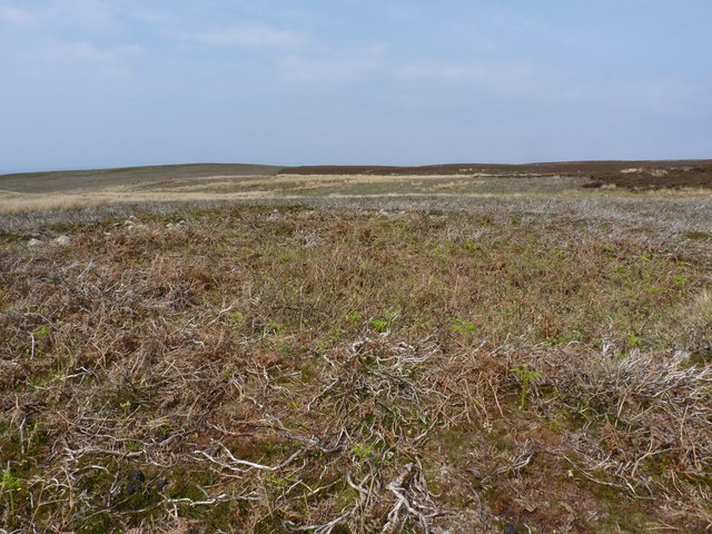
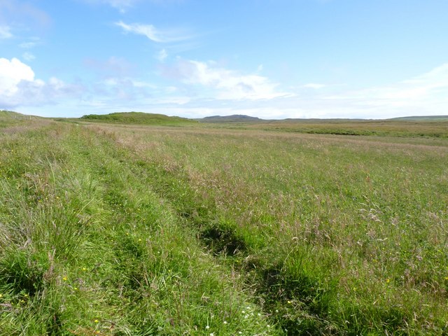
The point is accessible via a well-maintained footpath that leads visitors along the cliff edge, ensuring both safety and the preservation of the fragile ecosystem. The path offers opportunities for hikers to explore the diverse flora and fauna that inhabit the area, including seabirds, wildflowers, and marine life.
Am Borran is also a popular destination for birdwatching enthusiasts, as it serves as a nesting site for various seabird species such as puffins, guillemots, and razorbills. These birds can be observed in their natural habitat, providing a unique and immersive experience for nature lovers.
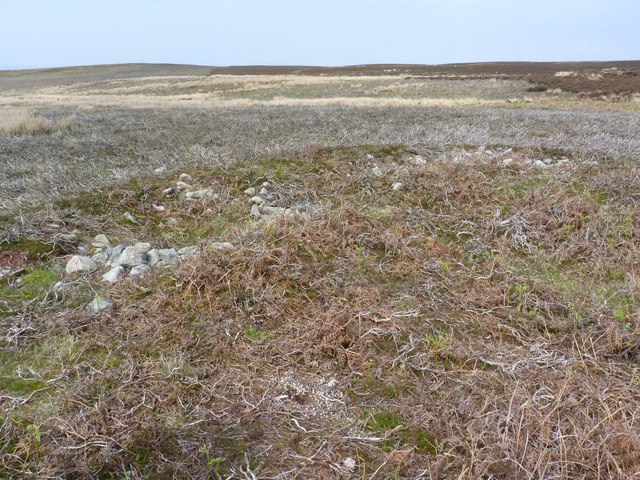
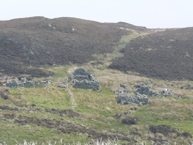
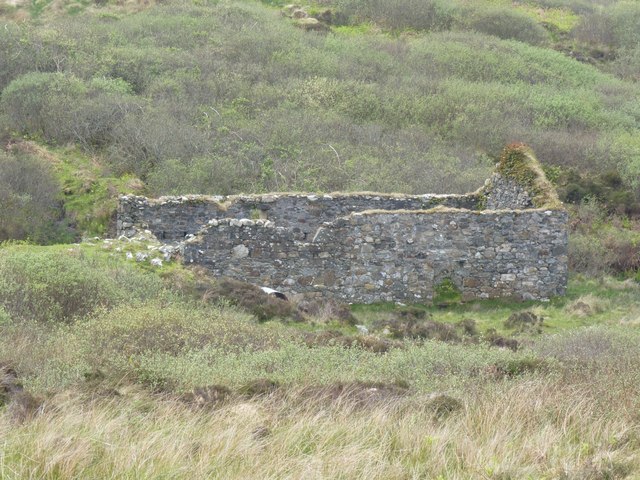
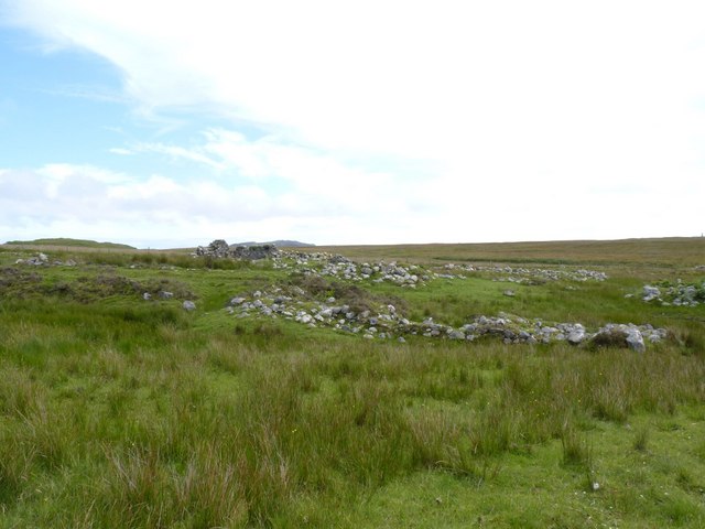
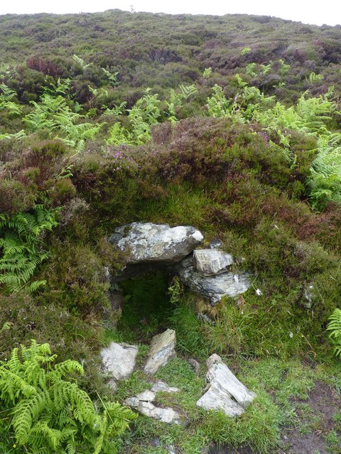
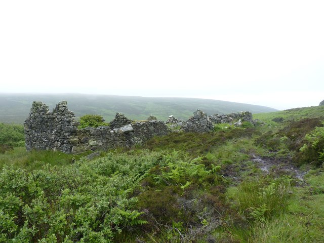
In addition to its natural beauty, Am Borran holds historical significance. It is believed to have been a defensive stronghold during ancient times, with remnants of fortifications still visible along the headland. This adds an element of intrigue to the site, attracting history buffs and archaeology enthusiasts.
Overall, Am Borran is a captivating coastal feature that combines stunning natural landscapes, abundant wildlife, and a rich historical background. It offers a unique experience for those seeking to immerse themselves in the beauty and history of Argyllshire's coastal regions.
If you have any feedback on the listing, please let us know in the comments section below.
Am Borran Images
Images are sourced within 2km of 55.625041/-6.328807 or Grid Reference NR2745. Thanks to Geograph Open Source API. All images are credited.
Am Borran is located at Grid Ref: NR2745 (Lat: 55.625041, Lng: -6.328807)
Unitary Authority: Argyll and Bute
Police Authority: Argyll and West Dunbartonshire
What 3 Words
///soon.seating.surfacing. Near Port Ellen, Argyll & Bute
Nearby Locations
Related Wikis

Eas Mòr, lower
Eas Mor (lower) is a waterfall on the Abhainn Ghil on the island of Islay, in Scotland. It lies on the west coast of The Oa peninsula north of Lower Killeyan...
Eas Mòr, upper
Eas Mor is a waterfall is a waterfall on the Abhainn Ghil on the island of Islay in Scotland. It lies on The Oa peninsula south of Giol and west of Lenavore...

The Oa
The Oa ( OH) (Scottish Gaelic: An Obha) is a rocky peninsula in the southwest of the island of Islay, in Argyll, Scotland. It is an RSPB nature reserve...

Machrie golf course
The Machrie Golf Course, or "The Machrie Links", is located on Islay, in Scotland. The word "machrie" is a corruption of the Scottish Gaelic machair, which...
Islay Airport
Islay Airport (IATA: ILY, ICAO: EGPI) (also known as Glenegedale Airport) (Scottish Gaelic: Port-adhair Ìle) is located 4.5 nautical miles (8.3 kilometres...

Port Ellen distillery
Port Ellen distillery is located in Port Ellen on the isle of Islay, Scotland. It initially operated between 1825 and 1983 when production shut down....

River Laggan
The River Laggan is a small river on the Scottish island of Islay. Having gathered the waters of the Kilennan River, Barr River and Duich River / Torra...

St John's Church, Port Ellen
St John's Church, Port Ellen is a Category B listed building in Port Ellen, Islay, Argyll and Bute, Scotland. == History == The memorial stone for the...
Have you been to Am Borran?
Leave your review of Am Borran below (or comments, questions and feedback).