Creag Liath
Coastal Feature, Headland, Point in Argyllshire
Scotland
Creag Liath
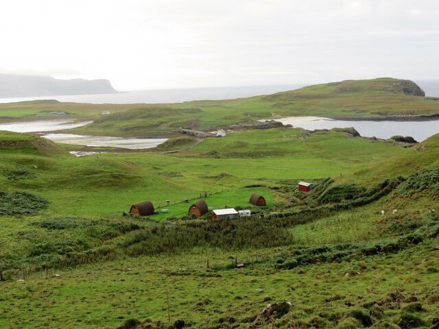
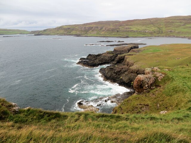
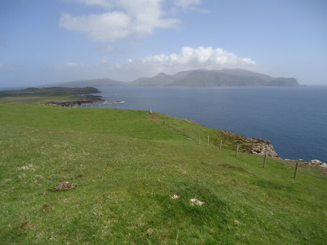
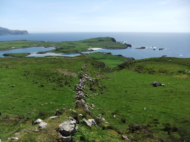
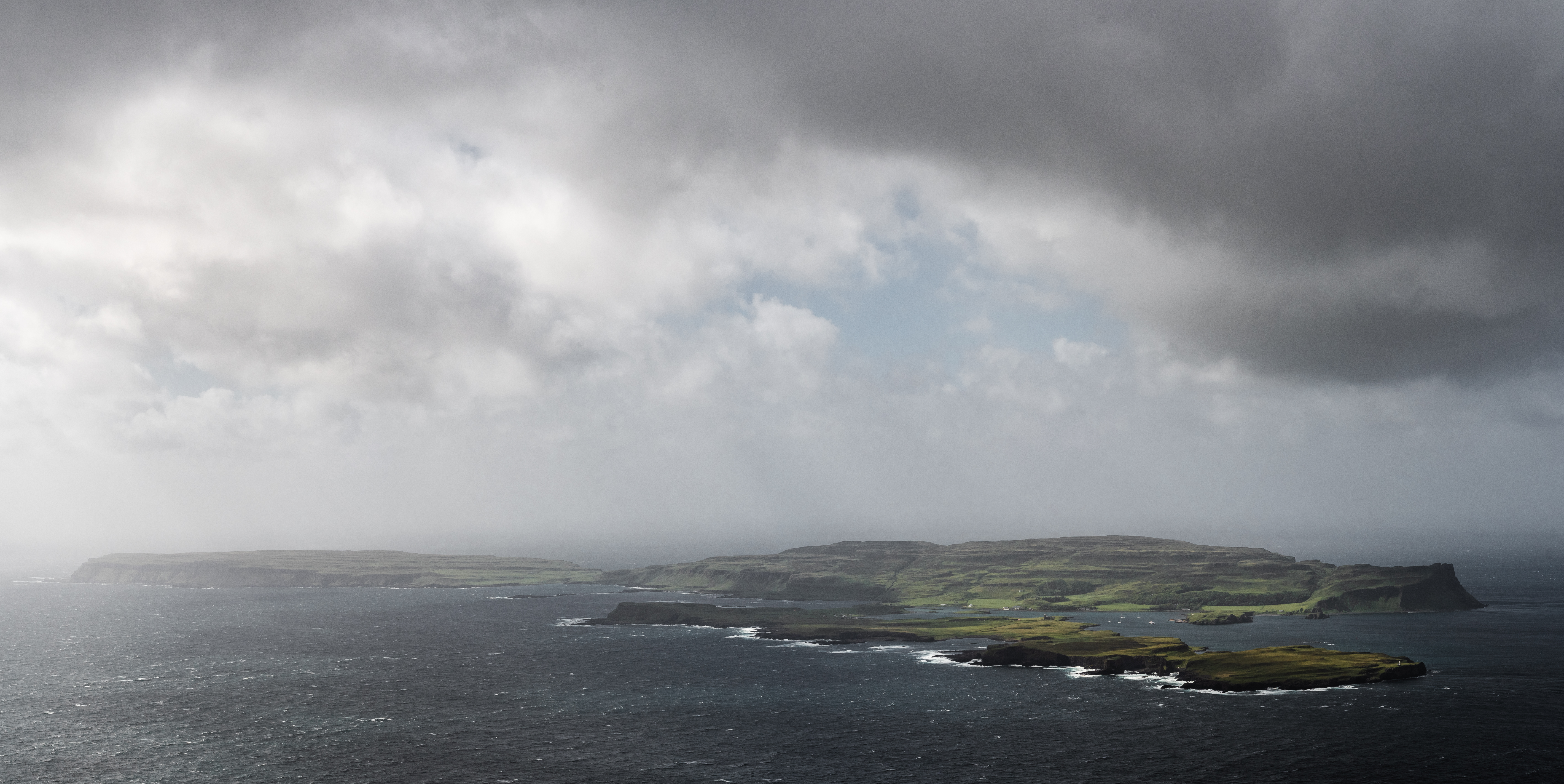
Creag Liath is a prominent coastal feature located in Argyllshire, Scotland. It is a headland or point that juts out into the sea, offering breathtaking views of the surrounding landscape. The name "Creag Liath" translates to "grey rock" in English, which accurately describes the appearance of the headland.
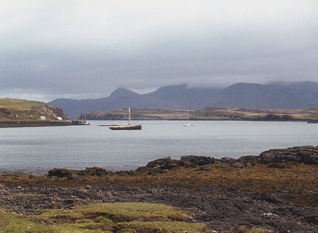
Situated along the rugged west coast of Scotland, Creag Liath is characterized by its steep cliffs and jagged rock formations. The headland is composed mainly of hard, greyish rocks, which have been shaped and eroded by the relentless force of the sea over thousands of years. This geological process has resulted in the creation of numerous caves, arches, and stacks, adding to the headland's dramatic beauty.
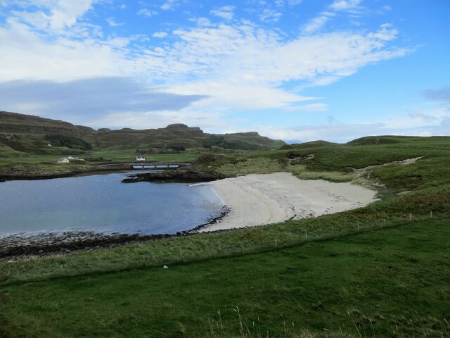
Creag Liath is a haven for wildlife, serving as an important breeding ground for seabirds such as puffins, guillemots, and razorbills. Visitors to the area may also spot seals and dolphins swimming in the waters surrounding the headland.
The location of Creag Liath makes it a popular destination for outdoor enthusiasts and nature lovers. It offers opportunities for coastal walks, birdwatching, and photography. The headland is accessible via a well-maintained footpath, which allows visitors to explore its rugged terrain safely.
Creag Liath is not only a natural wonder but also a site of historical significance. It is believed to have played a role in ancient Celtic rituals and may have even been a place of worship for early inhabitants of the region.
Overall, Creag Liath is a captivating coastal feature that showcases the raw beauty of Scotland's west coast. Its striking cliffs, diverse wildlife, and rich history make it a must-visit destination for those seeking an authentic Scottish experience.
If you have any feedback on the listing, please let us know in the comments section below.
Creag Liath Images
Images are sourced within 2km of 57.051691/-6.4968179 or Grid Reference NG2704. Thanks to Geograph Open Source API. All images are credited.


Creag Liath is located at Grid Ref: NG2704 (Lat: 57.051691, Lng: -6.4968179)
Unitary Authority: Highland
Police Authority: Highlands and Islands
What 3 Words
///prompting.coolest.airliners. Near Elgol, Highland
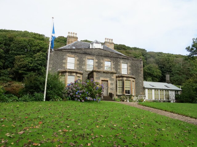
Related Wikis

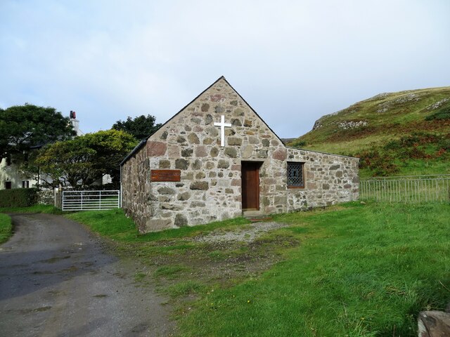
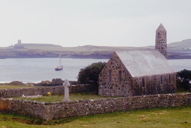
St Edward's Church, Sanday
St Edward's Church, Sanday, is a deconsecrated, and now disused church on the small isle of Sanday, Inner Hebrides, Scotland. The church was a gift to...
Sanday, Inner Hebrides
Sanday (Scottish Gaelic: Sandaigh; Scots: Sandee) is one of the Small Isles, in the Scottish Inner Hebrides. It is a tidal island linked to its larger...

St Columba's Church, Canna
St Columba's Church is a Category B listed building on the isle of Canna, in the Small Isles, Highland, Scotland. == History == Prior to the building of...

A' Chill
A' Chill was a village on Canna, in the Scottish Small Isles. The name means "the cell", referring to a Culdee church, and is often anglicised as "Kil...
Canna, Scotland
Canna (; Scottish Gaelic: Canaigh, Eilean Chanaigh) is the westernmost of the Small Isles archipelago, in the Scottish Inner Hebrides. It is linked to...
Nearby Amenities
Located within 500m of 57.051691,-6.4968179Have you been to Creag Liath?
Leave your review of Creag Liath below (or comments, questions and feedback).