Slochd nam Ball
Coastal Feature, Headland, Point in Argyllshire
Scotland
Slochd nam Ball
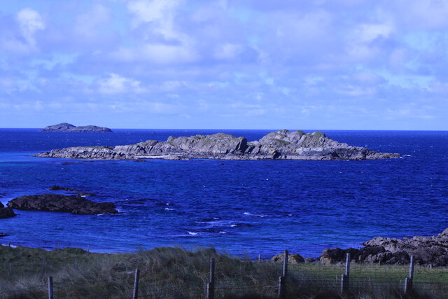
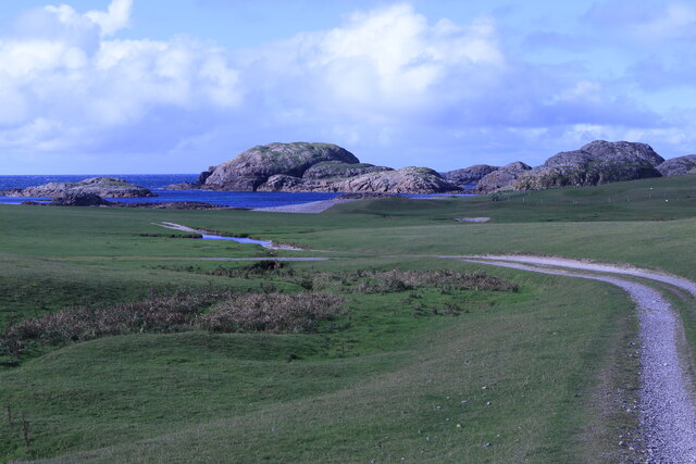
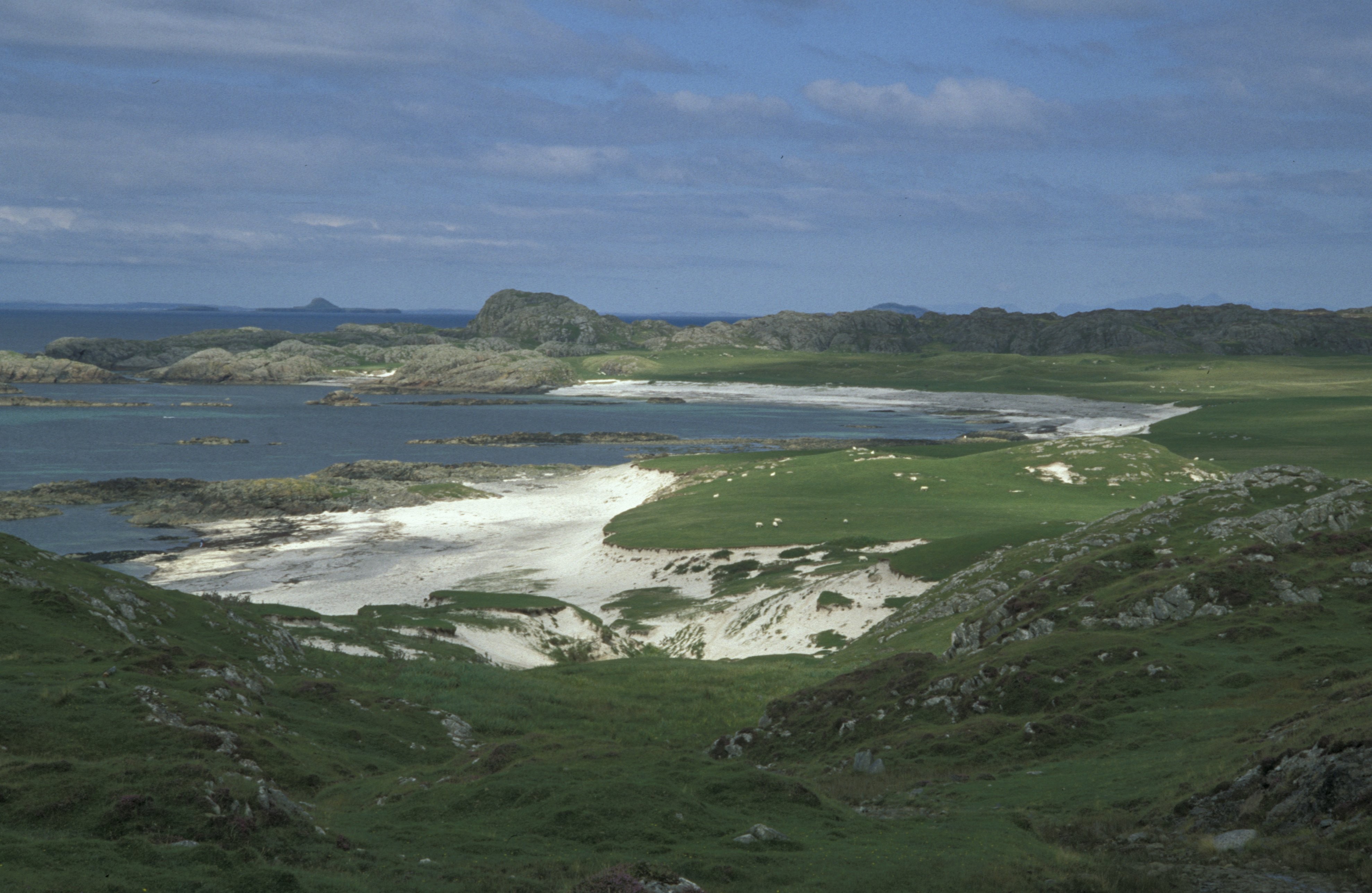
Slochd nam Ball is a prominent coastal feature located in Argyllshire, Scotland. It is a headland or point that juts out into the Atlantic Ocean, offering stunning views of the surrounding landscape. The name "Slochd nam Ball" is derived from Gaelic and translates to "Hollow of the Bulls."
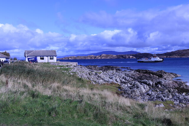
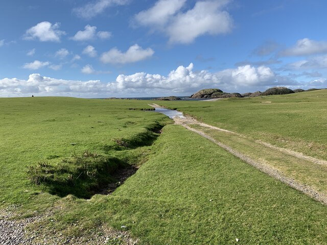
Situated on the western coast of Scotland, Slochd nam Ball is characterized by its rugged cliffs and rocky shoreline. It stands tall and imposing, providing a natural barrier between the land and the sea. The headland is composed of ancient rock formations, shaped over millions of years by the powerful forces of erosion.
The area surrounding Slochd nam Ball is known for its diverse wildlife and natural beauty. Visitors to this coastal feature can expect to spot various seabirds, including gannets, puffins, and guillemots. The waters below are also home to a variety of marine species such as seals, dolphins, and even occasional sightings of whales.
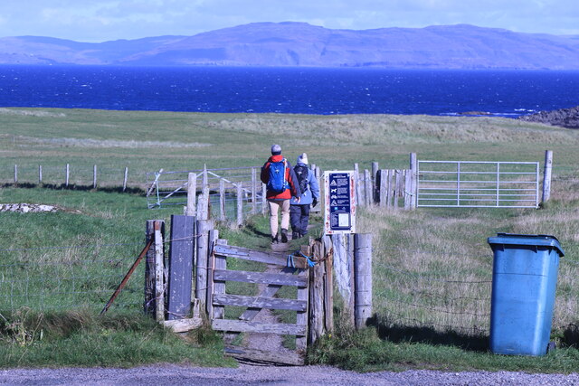
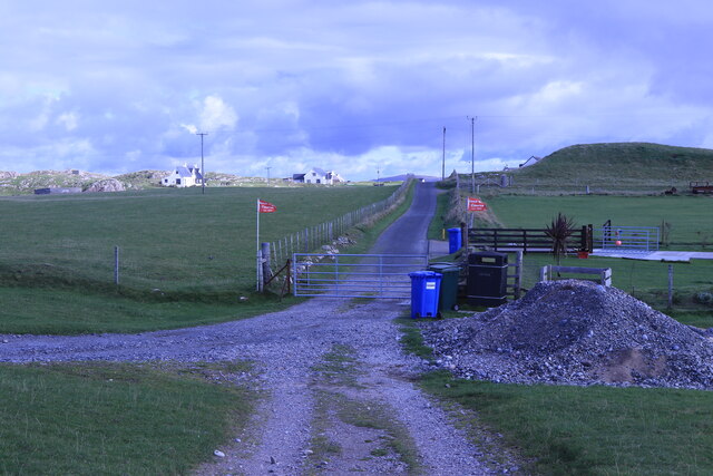
Visitors to Slochd nam Ball can enjoy a range of outdoor activities. The headland offers excellent opportunities for hiking, with several trails that lead to breathtaking viewpoints overlooking the ocean. It is also a popular spot for birdwatching and photography enthusiasts, with its dramatic cliffs providing a stunning backdrop.
Overall, Slochd nam Ball is a captivating coastal feature in Argyllshire, Scotland. Its rugged beauty, diverse wildlife, and breathtaking views make it a must-visit destination for nature lovers and outdoor enthusiasts alike.
If you have any feedback on the listing, please let us know in the comments section below.
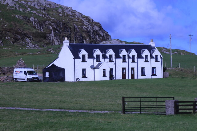
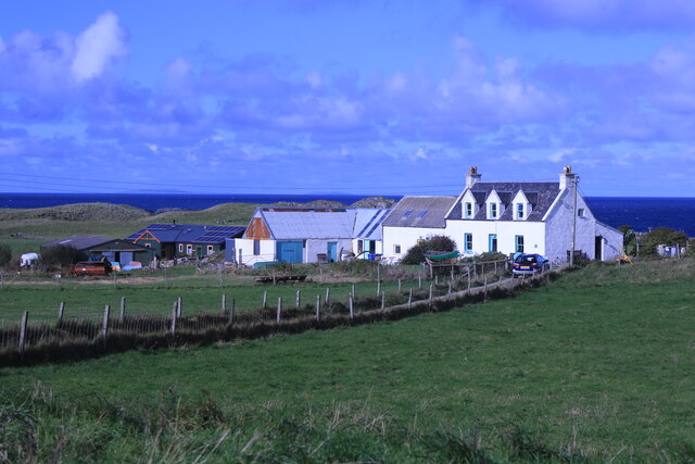
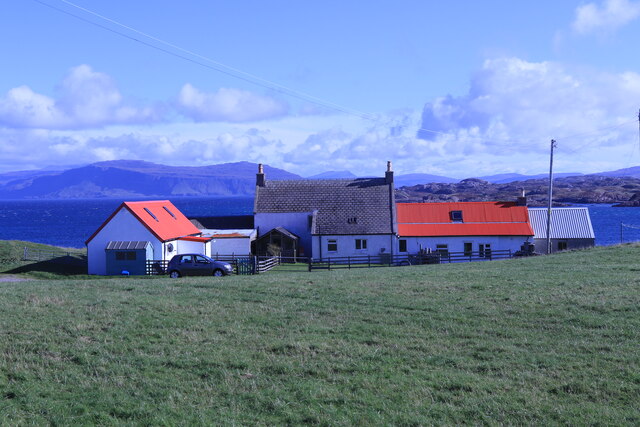
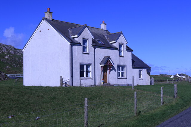
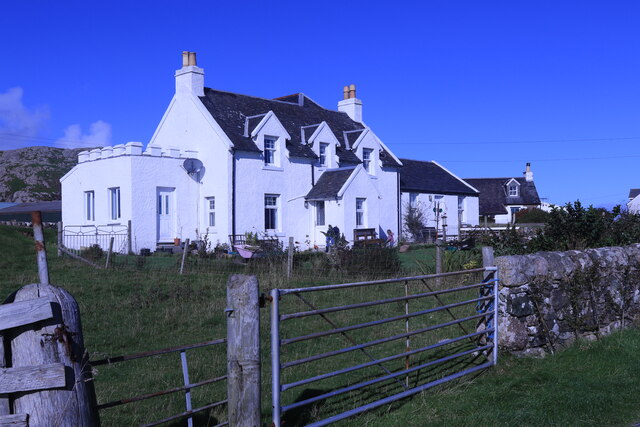
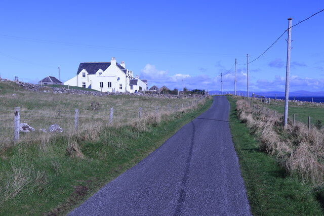
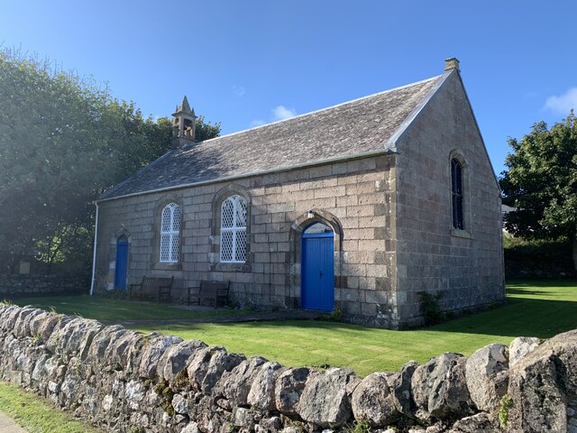
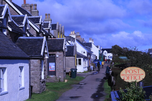
Slochd nam Ball Images
Images are sourced within 2km of 56.340614/-6.416514 or Grid Reference NM2725. Thanks to Geograph Open Source API. All images are credited.
Slochd nam Ball is located at Grid Ref: NM2725 (Lat: 56.340614, Lng: -6.416514)
Unitary Authority: Argyll and Bute
Police Authority: Argyll and West Dunbartonshire
What 3 Words
///aims.tungsten.unhappily. Near Fionnphort, Argyll & Bute
Related Wikis

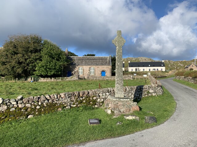
Iona
Iona (; Scottish Gaelic: Ì Chaluim Chille [ˈiː ˈxal̪ˠɪm ˈçiʎə] , sometimes simply Ì) is a small island in the Inner Hebrides, off the Ross of Mull on the...

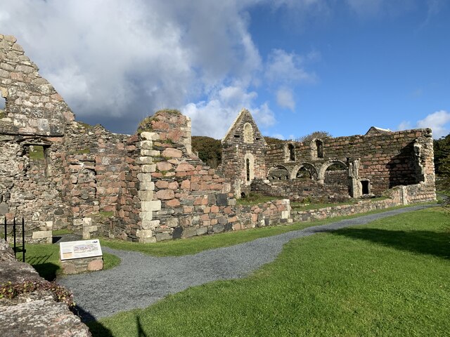
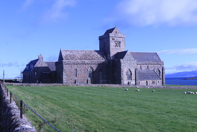
Iona Abbey
Iona Abbey is an abbey located on the island of Iona, just off the Isle of Mull on the West Coast of Scotland. It is one of the oldest Christian religious...

St Oran's Chapel
St Oran's Chapel (Odhráin/Orain/Odran) is a medieval chapel located on the island of Iona in the Inner Hebrides off the west coast of Scotland. Built in...

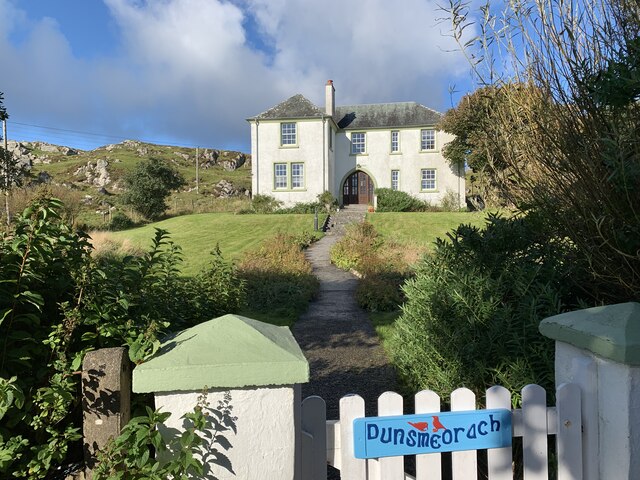
Bishop's House, Iona
Bishop's House is a retreat house for the Scottish Episcopal Church, located on the island of Iona, off the west coast of Scotland. == History == It was...
Bay at the Back of the Ocean
The Bay at the Back of the Ocean (Scottish Gaelic: Camas Cuil an t-Saimh) is a wide, west facing bay on the island of Iona, Argyll and Bute, Scotland,...

Sound of Iona
The Sound of Iona is a sound between the Inner Hebridean islands of Mull and Iona in western Scotland. It forms part of the Atlantic Ocean. The tidal...

Fionnphort
Fionnphort (English: , Scottish Gaelic: [ˈfjun̪ˠafɔrˠt̪]) is the principal port of the Ross of Mull, and the second largest settlement in the area (its...

Kintra
Kintra (Scottish Gaelic: Ceann na Tràgha), literally "country" in Scots is a settlement on the North-Western coast of the Ross of Mull, Scotland. The settlement...
Nearby Amenities
Located within 500m of 56.340614,-6.416514Have you been to Slochd nam Ball?
Leave your review of Slochd nam Ball below (or comments, questions and feedback).