Loanstone

Settlement in Midlothian

Scotland

Loanstone

River North Esk at Valleyfield, Penicuik Looking upstream where the river bends on its way alongside the housing development at Valleyfield, a former mill site.
River North Esk at Valleyfield, Penicuik Credit: Jim Barton

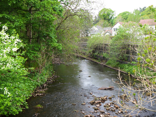
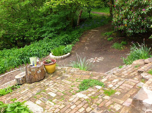
Loanstone is a small village located in the Midlothian council area of Scotland. Situated approximately 12 miles southeast of the capital city of Edinburgh, Loanstone is nestled amidst the picturesque countryside of the region. The village is surrounded by rolling hills, lush green fields, and offers charming views of the Pentland Hills in the distance.

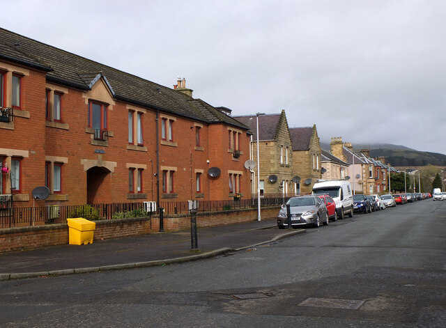
With a population of around 500 residents, Loanstone maintains a close-knit community atmosphere. The village is primarily residential, with a scattering of traditional stone-built houses and cottages, giving it a quaint and rustic feel. The village's architecture is a blend of traditional Scottish designs and more modern constructions.

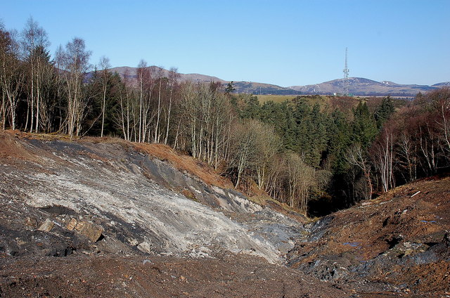
While Loanstone may be small in size, it boasts a rich history. The village has ties to the mining industry, with coal mining being a significant part of its past. Remnants of the mining heritage can still be seen in the form of old mine shafts and mining cottages.

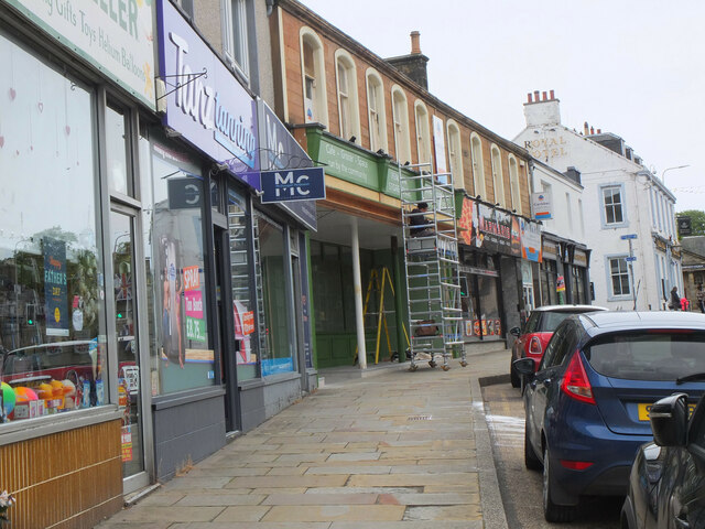
Despite its rural setting, Loanstone benefits from its proximity to larger towns and cities. Nearby communities provide access to essential amenities such as schools, shops, and healthcare facilities. Additionally, the village is well-connected by road, making it easily accessible to those commuting to Edinburgh or surrounding areas.

Loanstone's natural beauty and tranquil atmosphere make it an ideal location for those seeking a peaceful countryside lifestyle while still being within reach of urban conveniences. Whether it's exploring the scenic countryside, enjoying outdoor activities, or simply appreciating the charm of a tight-knit community, Loanstone offers a welcoming and idyllic setting for residents and visitors alike.

If you have any feedback on the listing, please let us know in the comments section below.
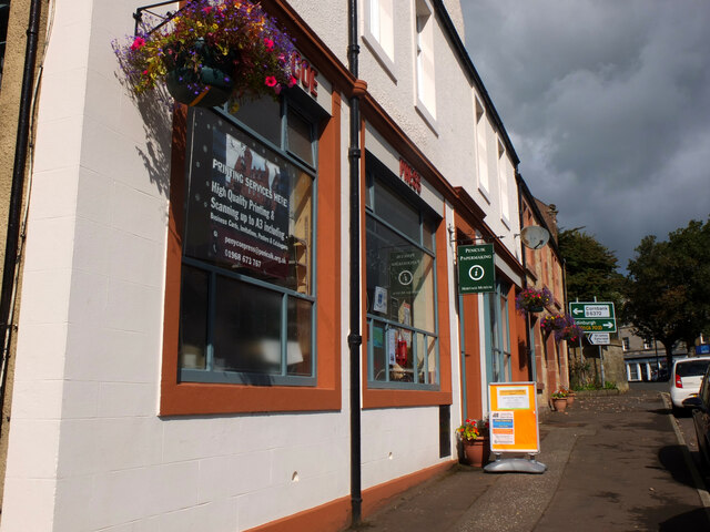
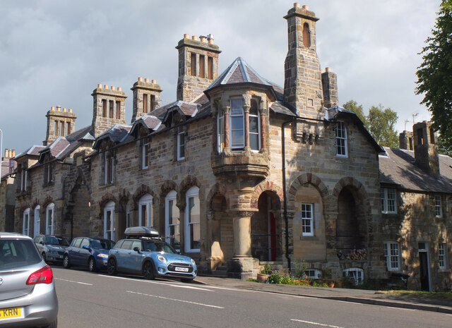
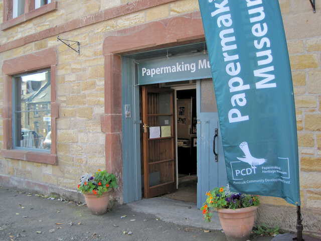
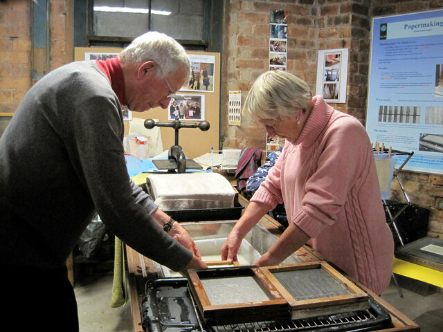
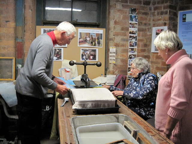
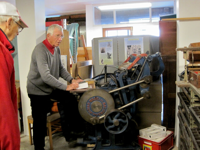
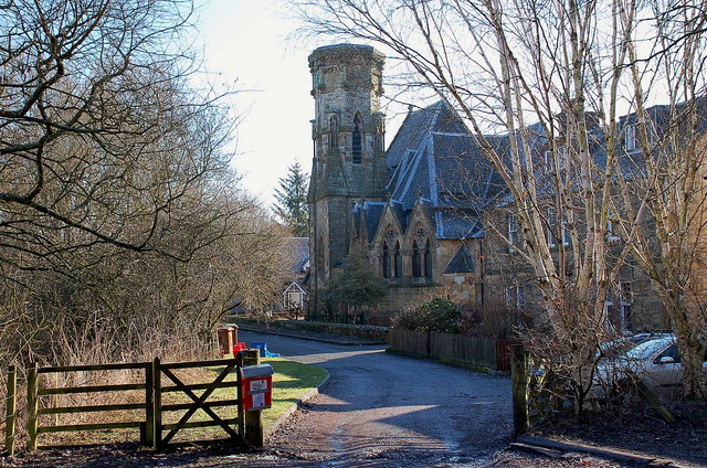
Loanstone Images

Images are sourced within 2km of 55.828178/-3.201566 or Grid Reference NT2460. Thanks to Geograph Open Source API. All images are credited.

River North Esk at Valleyfield, Penicuik Looking upstream where the river bends on its way alongside the housing development at Valleyfield, a former mill site.
River North Esk at Valleyfield, Penicuik
Looking upstream where the river bends on its way alongside the housing development at Valleyfield, a former mill site.
Decorated space, path to Penicuik Estate Brick steps and plant pots on the path by the North Esk from the A701 to Penicuik Estate grounds.
Decorated space, path to Penicuik Estate
Brick steps and plant pots on the path by the North Esk from the A701 to Penicuik Estate grounds.
Shopfront refurbishment, Penicuik High Street The Penicuik Storehouse undergoing renovation as part of a programme to improve the appearance of shops in the town.
Shopfront refurbishment, Penicuik High Street
The Penicuik Storehouse undergoing renovation as part of a programme to improve the appearance of shops in the town.
Vaucluse Place, Penicuik A block of flats in Jackson Street.
Vaucluse Place, Penicuik
A block of flats in Jackson Street.
Pen-y-Coe Press, Penicuik A long-established stationery and printing shop with an adjoining museum of papermaking in Bridge Street. In the early 19th century Penicuik became an important centre for papermaking, with mills along the River North Esk.
Pen-y-Coe Press, Penicuik
A long-established stationery and printing shop with an adjoining museum of papermaking in Bridge Street. In the early 19th century Penicuik became an important centre for papermaking, with mills along the River North Esk.
Parkend, Penicuik A striking corner terrace by the architect Thomas Pilkington c. 1860. He also designed the nearby Penicuik South Kirk and terraced cottages in the mill village of Walkerburn - see <a href="https://www.geograph.org.uk/photo/2231809">NT3537 : Millworkers' cottages, Walkerburn</a>.
Parkend, Penicuik
A striking corner terrace by the architect Thomas Pilkington c. 1860. He also designed the nearby Penicuik South Kirk and terraced cottages in the mill village of Walkerburn - see NT3537 : Millworkers' cottages, Walkerburn.
Demolition and rebuilding, Penicuik Old premises on Bridge Street are being demolished and construction appears to be the next step. The flag is flying from the Belgian Consulate on the corner with West Street - see also <a href="https://www.geograph.org.uk/photo/3332421">NT2359 : Belgian Consulate, Penicuik</a>.
Demolition and rebuilding, Penicuik
Old premises on Bridge Street are being demolished and construction appears to be the next step. The flag is flying from the Belgian Consulate on the corner with West Street - see also NT2359 : Belgian Consulate, Penicuik.
Papermaking Museum, Penicuik The museum is next door to the Pen-y-Coe Press on Bridge Street.  It is currently open on Saturday afternoons or at other times by arrangement for groups and entry is free. See the museum's website at <span class="nowrap"><a title="https://penicuikcdt.co.uk/index.php/penicuik-papermaking-heritage-museum/" rel="nofollow ugc noopener" href="https://penicuikcdt.co.uk/index.php/penicuik-papermaking-heritage-museum/">Link</a><img style="margin-left:2px;" alt="External link" title="External link - shift click to open in new window" src="https://s1.geograph.org.uk/img/external.png" width="10" height="10"/></span>.
Papermaking Museum, Penicuik
The museum is next door to the Pen-y-Coe Press on Bridge Street. It is currently open on Saturday afternoons or at other times by arrangement for groups and entry is free. See the museum's website at LinkExternal link.
Making paper by hand (1) Visitors to the Papermaking Museum at Penicuik have a chance to help make a sheet of paper. Pulp is caught on a rectangular mesh and carefully removed and transferred to the screw press to squeeze out the excess water.
Making paper by hand (1)
Visitors to the Papermaking Museum at Penicuik have a chance to help make a sheet of paper. Pulp is caught on a rectangular mesh and carefully removed and transferred to the screw press to squeeze out the excess water.
Making paper by hand (2) The process of making a sheet of paper from pulp being demonstrated at the Papermaking Museum, Penicuik. The sheet is being separated from its carrying cloth and is ready for drying.
Making paper by hand (2)
The process of making a sheet of paper from pulp being demonstrated at the Papermaking Museum, Penicuik. The sheet is being separated from its carrying cloth and is ready for drying.
Printing press demonstration A small press being demonstrated at the Papermaking Museum, Penicuik. The gear wheel carries the makers name 'Josiah Wade Ltd Halifax Eng.' It can be powered by a belt drive or, as here, by the treadle. Cases carrying the type letters can be seen to the right.
Printing press demonstration
A small press being demonstrated at the Papermaking Museum, Penicuik. The gear wheel carries the makers name 'Josiah Wade Ltd Halifax Eng.' It can be powered by a belt drive or, as here, by the treadle. Cases carrying the type letters can be seen to the right.
South Kirk, Penicuik The church has a very distinctive cylindrical tower, seen here from the small car park by the North Esk.
South Kirk, Penicuik
The church has a very distinctive cylindrical tower, seen here from the small car park by the North Esk.
Landslide area above the North Esk A substantial landslip has left this bare area in the woods on the S bank of the North Esk. The Pentland Hills are in the background, Turnhouse Hill on the left.
Landslide area above the North Esk
A substantial landslip has left this bare area in the woods on the S bank of the North Esk. The Pentland Hills are in the background, Turnhouse Hill on the left.
Communication/TV masts near Howgate Doubled in number since Richard Webb's visit 5 years ago - <a href="https://www.geograph.org.uk/photo/108169">NT2559 : TV transmitter</a>.
Communication/TV masts near Howgate
Doubled in number since Richard Webb's visit 5 years ago - NT2559 : TV transmitter.
Sheep and pasture near Loanstone With the NE end of the Pentland Hills in the distance, about 7km away. The power supply going to ground here no doubt supplies the two communication masts that are just out of view to the right <a href="https://www.geograph.org.uk/photo/2320834">NT2559 : Communication/TV masts near Howgate</a>.
Sheep and pasture near Loanstone
With the NE end of the Pentland Hills in the distance, about 7km away. The power supply going to ground here no doubt supplies the two communication masts that are just out of view to the right NT2559 : Communication/TV masts near Howgate.
Farmland and plantation near Fallhills Rough and improved grassland on part of what might be part of Drummond Moor.
Farmland and plantation near Fallhills
Rough and improved grassland on part of what might be part of Drummond Moor.
French PoWs Memorial at Valleyfield A substantial monument built in 1830 to mark and commemorate the burial place of 309 French prisoners of war who died in captivity at Penicuik between 1811 and 1814. It was paid for by Alexander Cowan, owner of the Valleyfield Mill which was used as one of the 'prisoner depots' of the Napoleonic Wars and stood near the spot where the monument stands. A local watchmaker contributed five shillings, allowing the inscription to state that it had been erected by "certain inhabitants of this parish". Cowan was responsible for the inscribed sentiment that enjoins us to "Remember That All Men Are Brethren".

<a href="https://www.geograph.org.uk/photo/2326591">NT2359 : French PoWs Memorial at Valleyfield</a>
French PoWs Memorial at Valleyfield
A substantial monument built in 1830 to mark and commemorate the burial place of 309 French prisoners of war who died in captivity at Penicuik between 1811 and 1814. It was paid for by Alexander Cowan, owner of the Valleyfield Mill which was used as one of the 'prisoner depots' of the Napoleonic Wars and stood near the spot where the monument stands. A local watchmaker contributed five shillings, allowing the inscription to state that it had been erected by "certain inhabitants of this parish". Cowan was responsible for the inscribed sentiment that enjoins us to "Remember That All Men Are Brethren". NT2359 : French PoWs Memorial at Valleyfield
French PoWs Memorial - English inscription The Latin sentence is a quotation of the Roman poet Sannazarius, suggested by Sir Walter Scott:
"Pleasing it is to lie at rest in one's own country, but all the world is a tomb."
French PoWs Memorial - English inscription
The Latin sentence is a quotation of the Roman poet Sannazarius, suggested by Sir Walter Scott: "Pleasing it is to lie at rest in one's own country, but all the world is a tomb."
Show me another place!

Loanstone is located at Grid Ref: NT2460 (Lat: 55.828178, Lng: -3.201566)

Unitary Authority: Midlothian

Police Authority: The Lothians and Scottish Borders

What 3 Words

///removals.research.autumn. Near Penicuik, Midlothian

Related Wikis

Esk Bridge railway station

Esk Bridge railway station served the settlement of Esk Bridge, Midlothian, Scotland from 1874 to 1930 on the Penicuik Railway. == History == The station...

Pomathorn Halt railway station

Pomathorn Halt railway station served the town of Penicuik, Midlothian, Scotland from 1855 to 1962 on the Peebles Railway. == History == The station opened...

Uttershill Castle

Uttershill Castle is a ruinous 16th-century tower house, about 0.5 miles (0.80 km) south of Penicuik, Midlothian, Scotland, south of the river North Esk...

Penicuik

Penicuik ( PEN-i-kuuk; Scots: Penicuik; Scottish Gaelic: Peighinn na Cuthaig) is a town and former burgh in Midlothian, Scotland, lying on the west bank...

Penicuik Town Hall

Penicuik Town Hall, formerly the Cowan Institute, is a municipal building in the High Street, Penicuik, Midlothian, Scotland. The structure, which was...

Penicuik railway station

Penicuik railway station served the town of Penicuik, Midlothian, Scotland from 1872 to 1951 on the Penicuik Railway. == History == The station opened...

Woodhouselee

Woodhouselee is an estate in Midlothian in the parish of Glencorse. It has been owned by gentry including William Tytler and Alexander Fraser Tytler....

Penicuik Athletic F.C.

Penicuik Athletic Football Club are a Scottish football club. They were formed in 1888 and are based at Montgomery Park (formerly known as Penicuik Park...

Nearby Amenities

Located within 500m of 55.828178,-3.201566
Power: pole
Lat/Long: 55.831335/-3.1983303
Power: pole
Lat/Long: 55.8294354/-3.2038235
Power: pole
Lat/Long: 55.8284275/-3.2020559
Power: pole
Lat/Long: 55.8291205/-3.2011225
Power: pole
Lat/Long: 55.8294821/-3.2042607
Power: pole
Lat/Long: 55.8295831/-3.2002775
Power: pole
Lat/Long: 55.8318887/-3.1973265
Power: pole
Lat/Long: 55.8284246/-3.202151
Power: pole
Lat/Long: 55.8285475/-3.2012739
Power: pole
Lat/Long: 55.8303732/-3.1971924
Location Transition: yes
Power: pole
Lat/Long: 55.8301073/-3.200197
Power: pole
Lat/Long: 55.8300078/-3.2030403
Power: pole
Lat/Long: 55.8288975/-3.2029357
Power: pole
Lat/Long: 55.8306812/-3.202646
Power: pole
Lat/Long: 55.8313901/-3.2036082
Power: pole
Lat/Long: 55.8308545/-3.1959967
Power: pole
Lat/Long: 55.8294211/-3.1995957
Power: pole
Lat/Long: 55.8306805/-3.1988768
Power: pole
Lat/Long: 55.8282558/-3.2022705
Power: pole
Lat/Long: 55.8284607/-3.2029303
Power: pole
Lat/Long: 55.8298972/-3.198394
Power: pole
Lat/Long: 55.8296342/-3.2004627
Power: pole
Lat/Long: 55.8289903/-3.2036109
Power: pole
Lat/Long: 55.8283236/-3.2033622
Power: pole
Lat/Long: 55.8289029/-3.2007597
Power: pole
Lat/Long: 55.8281601/-3.2020431
Power: pole
Lat/Long: 55.8290399/-3.2009668
Power: pole
Lat/Long: 55.831936/-3.1975981
Power: pole
Lat/Long: 55.8307536/-3.2022007
Power: pole
Lat/Long: 55.8314902/-3.2044404
Power: pole
Lat/Long: 55.8281353/-3.2027326
Power: pole
Lat/Long: 55.8318065/-3.2053953
Location Transition: yes
Power: pole
Lat/Long: 55.8300501/-3.1996713
Power: pole
Lat/Long: 55.8304267/-3.2011733
Material: wood
Power: pole
Lat/Long: 55.8309358/-3.2022276
Power: pole
Lat/Long: 55.827739/-3.2078093
Power: pole
Lat/Long: 55.8307686/-3.1990974
Power: pole
Lat/Long: 55.8269948/-3.2086676
Power: pole
Lat/Long: 55.8301555/-3.1998216
Power: pole
Lat/Long: 55.8311581/-3.2034339
Power: pole
Lat/Long: 55.8318848/-3.205111
Power: pole
Lat/Long: 55.8303235/-3.2050084
Power: pole
Lat/Long: 55.8281609/-3.2056474
Power: pole
Lat/Long: 55.8278611/-3.2061624
Material: wood
Power: pole
Lat/Long: 55.8282859/-3.2018036
Power: pole
Lat/Long: 55.8305299/-3.2009448
Power: pole
Lat/Long: 55.8283951/-3.2022664
Power: pole
Lat/Long: 55.827974/-3.2044431
Power: pole
Lat/Long: 55.8312823/-3.1981585
Traffic Calming: hump
Lat/Long: 55.8303191/-3.2084473
Traffic Calming: hump
Lat/Long: 55.8304252/-3.2083985
Traffic Calming: hump
Lat/Long: 55.8304172/-3.2083091
Traffic Calming: hump
Lat/Long: 55.8303042/-3.2083517
Loanstone
Place: hamlet
Lat/Long: 55.8293064/-3.2021403
Power: pole
Lat/Long: 55.8249527/-3.1963133
Power: pole
Lat/Long: 55.8272729/-3.1993442
Power: pole
Lat/Long: 55.8278966/-3.2001649
Power: pole
Lat/Long: 55.8248871/-3.1965484
Power: pole
Lat/Long: 55.8272058/-3.1995793
Power: pole
Lat/Long: 55.8278431/-3.2003544
Power: pole
Lat/Long: 55.8276335/-3.198368
Power: pole
Lat/Long: 55.8280282/-3.1972736
Power: pole
Lat/Long: 55.8284199/-3.1962383
Power: pole
Lat/Long: 55.8288056/-3.1951493
Power: pole
Lat/Long: 55.8292033/-3.194114
Power: pole
Lat/Long: 55.8274437/-3.1993121
Power: pole
Lat/Long: 55.827739/-3.1985343
Power: pole
Lat/Long: 55.8281186/-3.1975418
Power: pole
Lat/Long: 55.8284937/-3.1965897
Power: pole
Lat/Long: 55.8288523/-3.1955463
Power: pole
Lat/Long: 55.8292214/-3.1945807
Power: pole
Lat/Long: 55.8285271/-3.2009602
Power: transformer
Lat/Long: 55.8281081/-3.202107
Power: transformer
Lat/Long: 55.8281924/-3.2023162
Generator Method: wind_turbine
Generator Source: wind
Power: generator
Lat/Long: 55.8259868/-3.1964287
Power: pole
Lat/Long: 55.8255062/-3.1970363
Power: pole
Lat/Long: 55.8254729/-3.1973142
Power: pole
Lat/Long: 55.8260916/-3.1978011
Power: pole
Lat/Long: 55.826019/-3.198028
Power: pole
Lat/Long: 55.8266732/-3.1985608
Power: pole
Lat/Long: 55.8266393/-3.1988387
Power: pole
Lat/Long: 55.8244637/-3.2057073
Power: pole
Lat/Long: 55.8251428/-3.2052363
Power: pole
Lat/Long: 55.8253707/-3.2053772
Power: pole
Lat/Long: 55.8260509/-3.2046855
Power: pole
Lat/Long: 55.8267831/-3.2039224
Power: pole
Lat/Long: 55.8274137/-3.2033064
Power: pole
Lat/Long: 55.828121/-3.2025747
Power: pole
Lat/Long: 55.8313895/-3.2033767
Power: pole
Lat/Long: 55.8320475/-3.2040556
Power: pole
Lat/Long: 55.8316426/-3.2025033
Bench
Backrest: yes
Lat/Long: 55.8254355/-3.2020922
The data included in this document is from www.openstreetmap.org. The data is made available under ODbL.

Have you been to Loanstone?

Leave your review of Loanstone below (or comments, questions and feedback).