Geodha nan Calman
Coastal Feature, Headland, Point in Argyllshire
Scotland
Geodha nan Calman

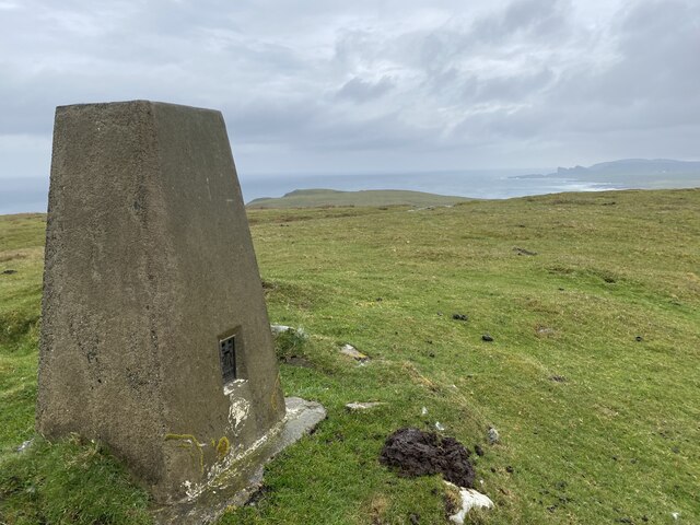
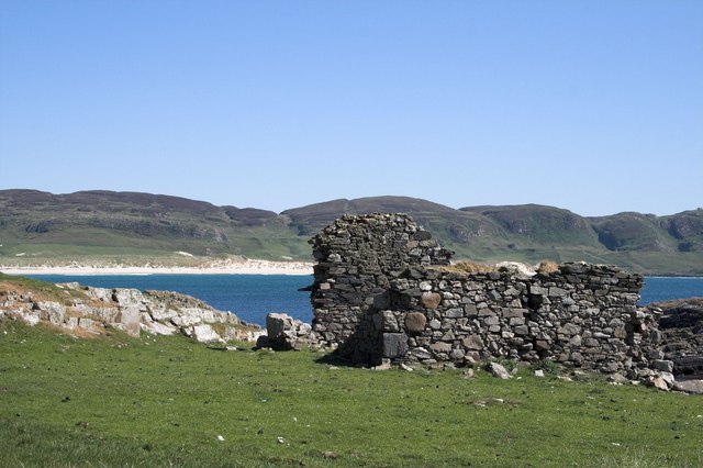
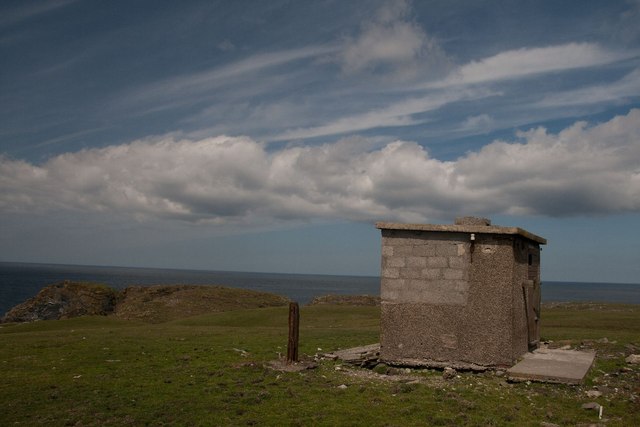
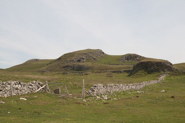
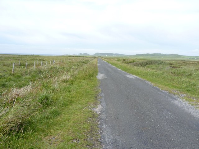
Geodha nan Calman, located in Argyllshire, Scotland, is a stunning coastal feature known for its dramatic cliffs, rugged terrain, and breathtaking views. This headland, also referred to as a point, is situated on the western coast of Scotland and is surrounded by the vast expanse of the Atlantic Ocean.
The name Geodha nan Calman translates to "Bay of the Doves" in English, reflecting the peaceful and serene atmosphere that can be experienced in this area. The headland is characterized by its towering cliffs, which rise high above the crashing waves below. These cliffs are made up of a variety of geological formations, including sandstone and limestone, adding to the visually striking appeal of the landscape.
In addition to its geological significance, Geodha nan Calman is also home to a rich diversity of wildlife. The coastal waters around the headland are teeming with marine life, including seals, dolphins, and a variety of seabirds, making it a popular spot for nature enthusiasts and birdwatchers.
Visitors to Geodha nan Calman can explore the area by following the coastal paths that wind along the headland, taking in the panoramic vistas and enjoying the fresh sea air. The views from the top of the cliffs are truly awe-inspiring, offering uninterrupted vistas of the ocean and the surrounding coastline.
Overall, Geodha nan Calman is a remarkable coastal feature that showcases the beauty and raw power of the Scottish coastline. Its dramatic cliffs, diverse wildlife, and breathtaking views make it a must-visit destination for nature lovers and those seeking a peaceful escape in the heart of Argyllshire.
If you have any feedback on the listing, please let us know in the comments section below.
Geodha nan Calman Images
Images are sourced within 2km of 55.803952/-6.4705283 or Grid Reference NR1965. Thanks to Geograph Open Source API. All images are credited.


Geodha nan Calman is located at Grid Ref: NR1965 (Lat: 55.803952, Lng: -6.4705283)
Unitary Authority: Argyll and Bute
Police Authority: Argyll and West Dunbartonshire
What 3 Words
///frowns.kicks.dumpling. Near Port Charlotte, Argyll & Bute
Related Wikis

HMS Graph
HMS Graph (pennant number P715) was a German Type VIIC U-boat that the British Royal Navy captured during World War II. Commissioned as U-570 in Nazi Germany...

Kilchoman
Kilchoman ( kil-(K)HOM-ən; Scottish Gaelic: Cill Chomain [kʲʰiːʎ ˈxɔmɛɲ]) is a small settlement and large parish on the Scottish island of Islay, within...

Kilchoman distillery
Kilchoman distillery (pronounced Kil-ho-man) is a distillery that produces single malt Scotch whisky on Islay, an island of the Inner Hebrides. Kilchoman...

Loch Gorm Castle
Loch Gorm Castle is a ruined castle located on Eilean Mòr (big island) on Loch Gorm, Islay, Scotland. It was once a stronghold of Clan Macdonald. The castle...
Have you been to Geodha nan Calman?
Leave your review of Geodha nan Calman below (or comments, questions and feedback).