Rubha na h-Airde Mòire
Coastal Feature, Headland, Point in Argyllshire
Scotland
Rubha na h-Airde Mòire

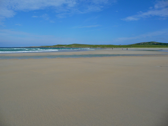
Rubha na h-Airde Mòire is a prominent coastal feature located in Argyllshire, Scotland. This headland, also known as Ardmore Point, is situated on the western coast of the Scottish mainland, overlooking the Sound of Jura.
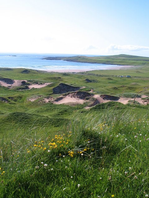
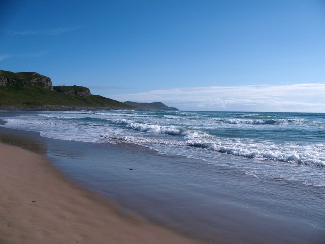
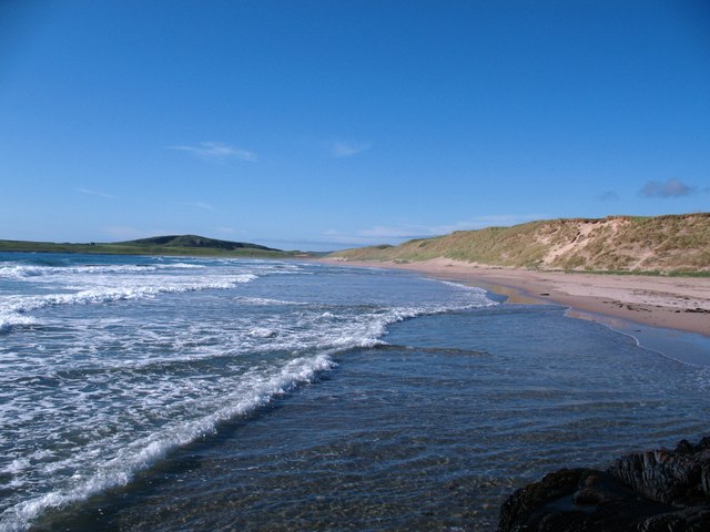
The headland is characterized by its rugged and rocky terrain, with cliffs that rise dramatically from the shoreline. These cliffs provide stunning panoramic views of the surrounding landscape, including the nearby islands of Jura and Islay. The area is known for its wild and untouched beauty, with abundant flora and fauna that flourish in the coastal environment.
Rubha na h-Airde Mòire is a popular destination for nature enthusiasts and hikers, as it offers a range of walking trails that meander through the headland. These trails showcase the diverse wildlife and plant species that call this area home, including seabirds, otters, and various wildflowers.
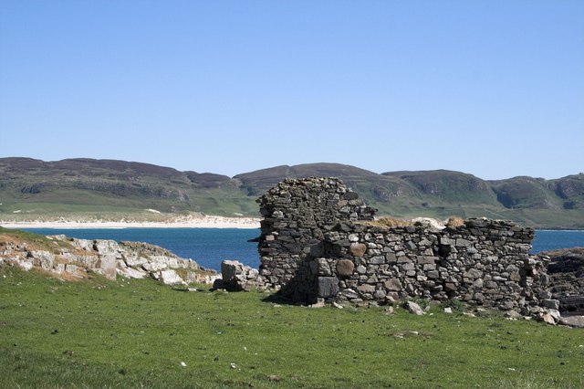
In addition to its natural beauty, the headland also holds historical significance. The ruins of a medieval chapel, known as St. Modan's Chapel, can be found on Rubha na h-Airde Mòire. These ruins provide a glimpse into the area's rich cultural heritage and attract visitors interested in history.
Overall, Rubha na h-Airde Mòire is a captivating coastal feature in Argyllshire. Its stunning cliffs, diverse wildlife, and historical ruins make it a must-visit destination for those seeking to immerse themselves in the natural and cultural wonders of Scotland's western coast.
If you have any feedback on the listing, please let us know in the comments section below.
Rubha na h-Airde Mòire Images
Images are sourced within 2km of 55.786164/-6.4728928 or Grid Reference NR1963. Thanks to Geograph Open Source API. All images are credited.
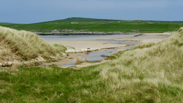


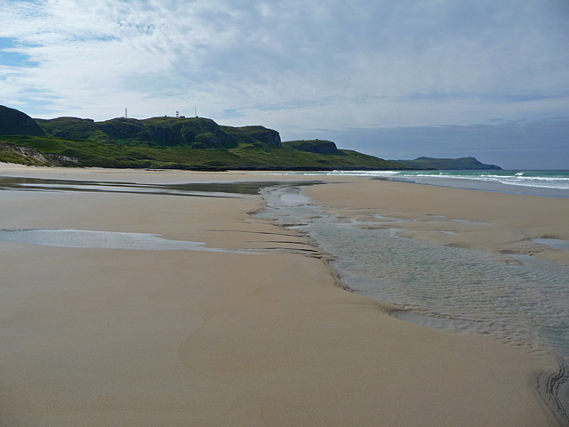
![Dune slack pond Natural pond in a dune slack behind Machir Bay beach. Old coastal cliffs in the background [raised beach].](https://s0.geograph.org.uk/geophotos/02/53/28/2532840_a7bf34fd.jpg)


Rubha na h-Airde Mòire is located at Grid Ref: NR1963 (Lat: 55.786164, Lng: -6.4728928)
Unitary Authority: Argyll and Bute
Police Authority: Argyll and West Dunbartonshire
What 3 Words
///dock.fellow.cherished. Near Port Charlotte, Argyll & Bute
Related Wikis

HMS Graph
HMS Graph (pennant number P715) was a German Type VIIC U-boat that the British Royal Navy captured during World War II. Commissioned as U-570 in Nazi Germany...

Kilchoman
Kilchoman ( kil-(K)HOM-ən; Scottish Gaelic: Cill Chomain [kʲʰiːʎ ˈxɔmɛɲ]) is a small settlement and large parish on the Scottish island of Islay, within...

RAF Kilchiaran
RAF Kilchiaran was a Royal Air Force radar station situated on the Isle of Islay in Scotland. It was originally active from 1940-1945. In 1954 the base...

Kilchoman distillery
Kilchoman distillery (pronounced Kil-ho-man) is a distillery that produces single malt Scotch whisky on Islay, an island of the Inner Hebrides. Kilchoman...
Have you been to Rubha na h-Airde Mòire?
Leave your review of Rubha na h-Airde Mòire below (or comments, questions and feedback).