A' Mhuc

Coastal Feature, Headland, Point in Argyllshire

Scotland

A' Mhuc

View across Cliad Bay
View across Cliad Bay Credit: sparkione

A' Mhuc, located in Argyllshire, Scotland, is a captivating coastal feature that stands as a prominent headland and point along the rugged coastline. With its awe-inspiring natural beauty and rich history, it attracts visitors from near and far.

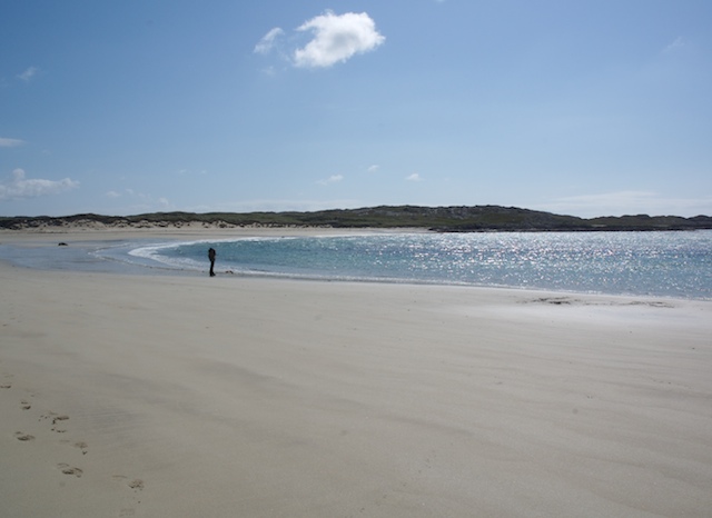
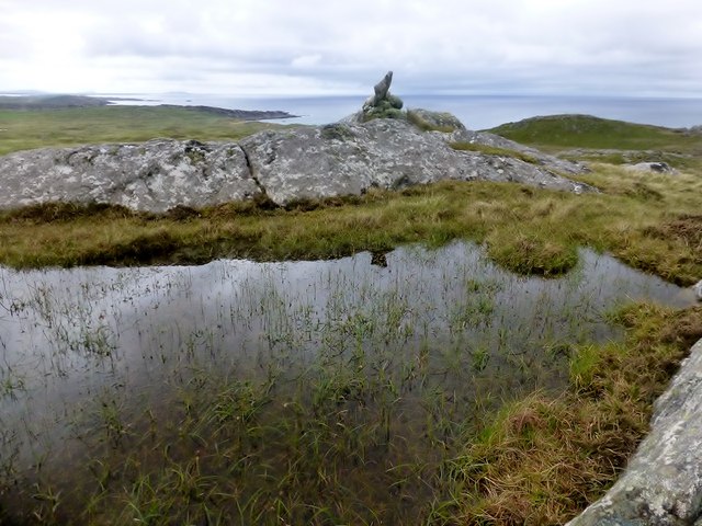
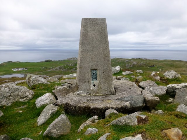
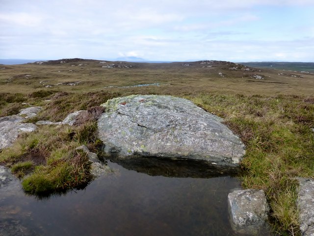
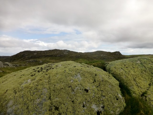
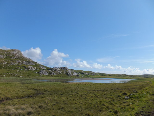
This headland is characterized by its steep cliffs that dramatically drop down into the wild and untamed sea below. The rugged terrain is covered in lush green vegetation, creating a striking contrast against the deep blue hues of the ocean. Atop the headland, visitors are treated to breathtaking panoramic views of the surrounding landscape, including the vast expanse of the Atlantic Ocean.

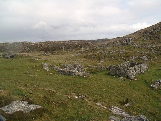
A' Mhuc also holds historical significance. Its Gaelic name, which translates to "the pig," is believed to be derived from the presence of wild boars that once roamed the area. In addition, the headland is home to ancient ruins, including the remains of a medieval fort, which serves as a reminder of the region's rich heritage.

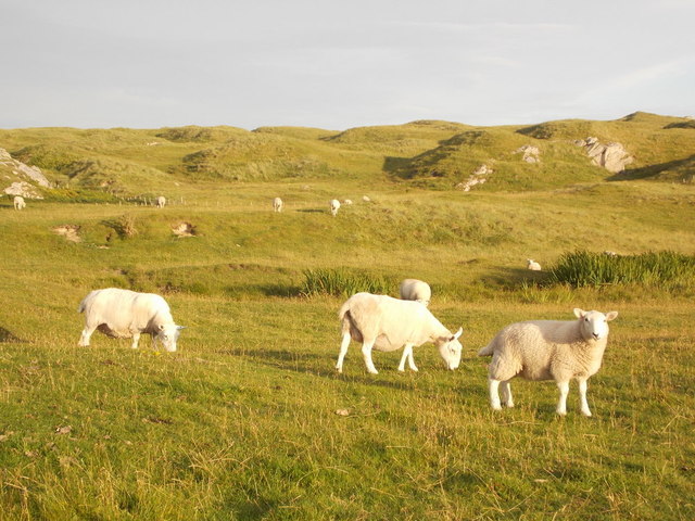
Nature enthusiasts are drawn to A' Mhuc for its diverse wildlife. The surrounding waters are teeming with marine life, making it a popular destination for birdwatchers and marine biologists alike. Visitors may be lucky enough to spot seabirds soaring overhead or seals basking on the rocky shores.

Overall, A' Mhuc is a captivating coastal feature that combines rugged beauty, historical significance, and abundant wildlife. It offers visitors an opportunity to immerse themselves in the untamed splendor of Argyllshire's coastline, leaving a lasting impression on all who venture to this remarkable headland.

If you have any feedback on the listing, please let us know in the comments section below.

A' Mhuc Images

Images are sourced within 2km of 56.642977/-6.5990303 or Grid Reference NM1859. Thanks to Geograph Open Source API. All images are credited.

View across Cliad Bay
Cliad Bay, Coll
Cliad Bay, Coll
West end of Cliad Bay, Isle of Coll
Beach, Cliad Bay A big white sand beach beyond the golf course.
Beach, Cliad Bay
A big white sand beach beyond the golf course.
Coll Golf Club and sports grounds
Township remains, Ben Hogh
Ben Hogh Bagged trig and then the real top with Iain Brown and Martin Richardson before a circuit of 3 more TuMPs on an improving afternoon.

Name: Ben Hogh
Hill number: 4817
Height: 106m / 348ft
Parent (Ma/M): none
Area: 17F: Coll and Tiree
Class: Hu,1
Grid ref: NM 18357 57709
Summit feature: cairn on SE top
Drop: 106m
Col: Sea
Ben Hogh
Bagged trig and then the real top with Iain Brown and Martin Richardson before a circuit of 3 more TuMPs on an improving afternoon. Name: Ben Hogh Hill number: 4817 Height: 106m / 348ft Parent (Ma/M): none Area: 17F: Coll and Tiree Class: Hu,1 Grid ref: NM 18357 57709 Summit feature: cairn on SE top Drop: 106m Col: Sea
Ben Hogh Trig Ben Hogh trig point on the Isle of Coll which is some way from the actual summit of Ben Hogh.
Ben Hogh Trig
Ben Hogh trig point on the Isle of Coll which is some way from the actual summit of Ben Hogh.
Dun Dubh Third TuMP of circuit of four with Iain Brown and Martin Richardson. This is the view from the lower of the three likely high points back towards the other two. The actual summit is on the left of the two.
Name: Dun Dubh
Hill number: 10475
Height: 69m / 226ft
Parent (Ma/M): none
Area: 17F: Coll and Tiree
Class: 0
Grid ref: NM 18520 59197
Summit feature: rock in heather
Drop: 31m
Col: 38m  NM186588
Dun Dubh
Third TuMP of circuit of four with Iain Brown and Martin Richardson. This is the view from the lower of the three likely high points back towards the other two. The actual summit is on the left of the two. Name: Dun Dubh Hill number: 10475 Height: 69m / 226ft Parent (Ma/M): none Area: 17F: Coll and Tiree Class: 0 Grid ref: NM 18520 59197 Summit feature: rock in heather Drop: 31m Col: 38m NM186588
Beinn Tioraidh Fourth TuMP of circuit of four with Iain Brown and Martin Richardson.
Name: Beinn Tioraidh
Hill number: 10498
Height: 60m / 197ft
Parent (Ma/M): none
Area: 17F: Coll and Tiree
Class: 0
Grid ref: NM 17544 58432
Summit feature: rock outcrop
Drop: 32m
Col: 28m  NM180584
Beinn Tioraidh
Fourth TuMP of circuit of four with Iain Brown and Martin Richardson. Name: Beinn Tioraidh Hill number: 10498 Height: 60m / 197ft Parent (Ma/M): none Area: 17F: Coll and Tiree Class: 0 Grid ref: NM 17544 58432 Summit feature: rock outcrop Drop: 32m Col: 28m NM180584
Cow With Its Head Through The Fence
Isle of Coll: sheep and dunes near Hogh Bay Sheep and dunes are typical features of the Isle of Coll, although this patch of dunes is a bit more separated from the coast than the majority, which back the sandy beaches of the island.
Isle of Coll: sheep and dunes near Hogh Bay
Sheep and dunes are typical features of the Isle of Coll, although this patch of dunes is a bit more separated from the coast than the majority, which back the sandy beaches of the island.
Fields, rocks and windmills at Grishipoll
Grishipoll  Farm, Coll
Grishipoll Farm, Coll
Highland cattle at Clabhach, Coll
Loch Ballyhaugh, Isle of Coll
Coll - Totamore - Crofts These two crofts at Totamore on the Isle of Coll are reminiscent of the Blackhouse style with stones holding down the thatched or turfed roofs.
Canmore website (various photos but little information): <span class="nowrap"><a title="https://canmore.org.uk/site/211191/coll-totamore" rel="nofollow ugc noopener" href="https://canmore.org.uk/site/211191/coll-totamore">Link</a><img style="margin-left:2px;" alt="External link" title="External link - shift click to open in new window" src="https://s1.geograph.org.uk/img/external.png" width="10" height="10"/></span>
Coll - Totamore - Crofts
These two crofts at Totamore on the Isle of Coll are reminiscent of the Blackhouse style with stones holding down the thatched or turfed roofs. Canmore website (various photos but little information): LinkExternal link
Show me another place!

A' Mhuc is located at Grid Ref: NM1859 (Lat: 56.642977, Lng: -6.5990303)

Unitary Authority: Argyll and Bute

Police Authority: Argyll and West Dunbartonshire

What 3 Words

///astounded.almost.ooze. Near Arinagour, Argyll & Bute

Related Wikis

Dùn Dubh

Dùn Dubh is a hillfort, located on the Inner Hebridean island of Coll. The fort is one of three associated with a local tradition which states that they...

An Caisteal (Coll)

An Caisteal (English: The Castle) is a hill fort located on the island of Coll. This island is one of the islands which make up the Inner Hebrides located...

Totamore dun

Totamore Dun is a dun located at grid reference NM17625713; near the settlement of Totamore, on the Inner Hebridean island of Coll. It occupies the summit...

Coll

Coll (; Scottish Gaelic: Cola) is an island located west of the Isle of Mull in the Inner Hebrides of Scotland. Coll is known for its sandy beaches, which...

Nearby Amenities

Located within 500m of 56.642977,-6.5990303
Natural: rock
Source: OS7
Tidal: yes
Lat/Long: 56.6397361/-6.6036431
Natural: rock
Source: OS7
Tidal: yes
Lat/Long: 56.6401264/-6.6028061
Natural: rock
Source: OS7
Tidal: yes
Lat/Long: 56.6417583/-6.5992006
Bagh Craimneach
Lang: gd
Natural: bay
Lat/Long: 56.6396063/-6.600903
Grishipoll Point
Place: locality
Lat/Long: 56.6446886/-6.5940259
The data included in this document is from www.openstreetmap.org. The data is made available under ODbL.

Have you been to A' Mhuc?

Leave your review of A' Mhuc below (or comments, questions and feedback).