Uidhe Gharbh

Coastal Feature, Headland, Point in Ross-shire

Scotland

Uidhe Gharbh

Old hardstandings at Tob Blar Meadha Abandoned lobster loading hardstandings at the lobster pond.
Old hardstandings at Tob Blar Meadha Credit: Gus Macdonald

Uidhe Gharbh is a prominent coastal feature located in Ross-shire, Scotland. It is a headland that extends out into the sea, forming a distinctive point along the coastline. The name "Uidhe Gharbh" is derived from Scottish Gaelic and translates to "rough point" in English, which accurately represents the rugged nature of this coastal formation.

The headland of Uidhe Gharbh is characterized by its steep cliffs, which rise dramatically from the crashing waves below. These cliffs are composed of ancient rock formations, providing a glimpse into the geological history of the area. The exposed rock faces exhibit layers of sedimentary rocks, showcasing the processes of deposition and erosion that have shaped the landscape over millions of years.

The headland is also home to a diverse range of flora and fauna. The grassy slopes and cliff edges support a variety of plant species, including hardy coastal grasses, wildflowers, and mosses. Seabirds such as gulls, fulmars, and puffins can often be seen nesting on the cliffs, taking advantage of the abundance of fish in the surrounding waters.

The views from Uidhe Gharbh are breathtaking, offering panoramic vistas of the coastline and the vast expanse of the sea beyond. Visitors can enjoy the spectacle of crashing waves against the cliffs and the ever-changing colors of the sky and water.

Due to its natural beauty and ecological significance, Uidhe Gharbh is a popular destination for nature enthusiasts, hikers, and photographers. It provides an opportunity to immerse oneself in the raw power and beauty of the Scottish coast, making it a must-visit location in Ross-shire.

If you have any feedback on the listing, please let us know in the comments section below.
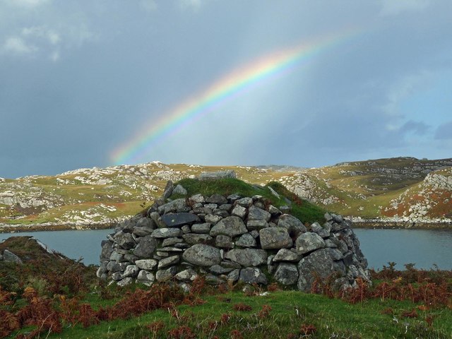
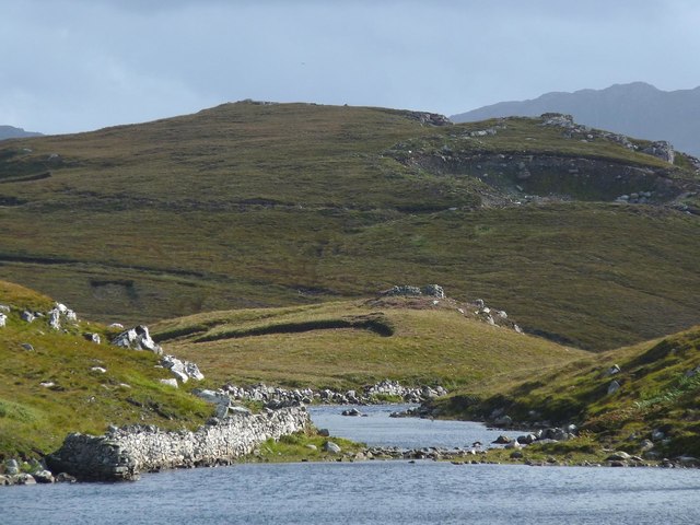
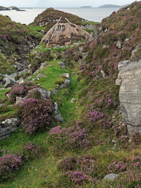
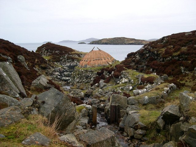
Uidhe Gharbh Images

Images are sourced within 2km of 58.221608/-6.8041755 or Grid Reference NB1835. Thanks to Geograph Open Source API. All images are credited.

Old hardstandings at Tob Blar Meadha Abandoned lobster loading hardstandings at the lobster pond.
Old hardstandings at Tob Blar Meadha
Abandoned lobster loading hardstandings at the lobster pond.
Craft workshop in Kirkibost One of the old shellfish processing factories at Kirkibost (Circeabost) is now reborn as a craftshop.
Craft workshop in Kirkibost
One of the old shellfish processing factories at Kirkibost (Circeabost) is now reborn as a craftshop.
Cleibh ghiomaich aig cidhe Chirceabost Lobster creels at Kirkibost harbour
Cleibh ghiomaich aig cidhe Chirceabost
Lobster creels at Kirkibost harbour
View towards Circebost Pier
Great Bernera: the stores and post office The post office has been relocated to this village store since 1994 when it was in a wooden shed: <a href="https://www.geograph.org.uk/photo/104795">NB1536 : Great Bernara Post Office</a>. The shop also operates petrol pumps, which are in a layby across the road.
Great Bernera: the stores and post office
The post office has been relocated to this village store since 1994 when it was in a wooden shed: NB1536 : Great Bernara Post Office. The shop also operates petrol pumps, which are in a layby across the road.
Croftland, Circebost, Great Bernera Looking across Loch Ròg an Ear (East Loch Roag) towards Eilean Chearstaigh.
Croftland, Circebost, Great Bernera
Looking across Loch Ròg an Ear (East Loch Roag) towards Eilean Chearstaigh.
Lazy beds below Cnoc Righseodh, Great Bernera/Beàrnaraigh
Shieling above Tob Chèurabhagh, Great Bernera/Beàrnaraigh Tob Chèurabhagh is a bay at the southern end of Loch Riosaigh.
Shieling above Tob Chèurabhagh, Great Bernera/Beàrnaraigh
Tob Chèurabhagh is a bay at the southern end of Loch Riosaigh.
Stepping stones across Loch nan Geadraisean, Great Bernera/Beàrnaraigh The OS 1:25,000 map shows the body of water to be called Loch na Muilne this side of the stepping stones and Loch nan Geadraisean beyond.  On the OS 1:50,000 map it is all called Loch nan Geadraisean.
Stepping stones across Loch nan Geadraisean, Great Bernera/Beàrnaraigh
The OS 1:25,000 map shows the body of water to be called Loch na Muilne this side of the stepping stones and Loch nan Geadraisean beyond. On the OS 1:50,000 map it is all called Loch nan Geadraisean.
Mill lade, Breacleit Norse mill, Great Bernera/Beàrnaraigh The lade carried water to the mill from Loch na Muilne.  See <span class="nowrap"><a title="http://www.hebrideanconnections.com/landmarks-and-archaeological-sites/27882" rel="nofollow ugc noopener" href="http://www.hebrideanconnections.com/landmarks-and-archaeological-sites/27882">Link</a><img style="margin-left:2px;" alt="External link" title="External link - shift click to open in new window" src="https://s1.geograph.org.uk/img/external.png" width="10" height="10"/></span> for information about the mill.
Mill lade, Breacleit Norse mill, Great Bernera/Beàrnaraigh
The lade carried water to the mill from Loch na Muilne. See LinkExternal link for information about the mill.
Calanais/Callanish XV, Circebost, Great Bernera/Beàrnaraigh From Discovery and Excavation in Scotland, 1976: "On grassy ridge 100m N of road, 25m E of track through Croft 24, Kirkibost. A large prone slab approx. 3.55m x 1.35m, thickness varying from 0.25-0.45m, lying in peat on a grassy ridge. The lower end appears to be surrounded by packing stones and there is a void under the centre of the stone. This stone was brought to our notice by Mr Norman MacDonald of Kirkibost."
Calanais/Callanish XV, Circebost, Great Bernera/Beàrnaraigh
From Discovery and Excavation in Scotland, 1976: "On grassy ridge 100m N of road, 25m E of track through Croft 24, Kirkibost. A large prone slab approx. 3.55m x 1.35m, thickness varying from 0.25-0.45m, lying in peat on a grassy ridge. The lower end appears to be surrounded by packing stones and there is a void under the centre of the stone. This stone was brought to our notice by Mr Norman MacDonald of Kirkibost."
Possible fallen standing stone, Circebost, Great Bernera/Beàrnaraigh This stone lies approximately 80m ESE of <a href="https://www.geograph.org.uk/photo/5293759">NB1734 : Calanais/Callanish XV, Circebost, Great Bernera/Beàrnaraigh</a>.  The croft owner, who is the grandson of Norman MacDonald who originally brought Callanish XV to archaeologists' attention, believes it to be fallen standing stone.
Possible fallen standing stone, Circebost, Great Bernera/Beàrnaraigh
This stone lies approximately 80m ESE of NB1734 : Calanais/Callanish XV, Circebost, Great Bernera/Beàrnaraigh. The croft owner, who is the grandson of Norman MacDonald who originally brought Callanish XV to archaeologists' attention, believes it to be fallen standing stone.
Looking down at Circebost Circebost or Kirkibost is a tiny settlement on Great Bernera. This island is now connected to Lewis by a short pre-stressed concrete bridge. In 1953 when it was built it was and remains the first bridge of such material in Europe.  

The settlemenr is also important as it is the first planned crofting township in the Outer Hebrides, though I think town is a lofty description for such a small group of houses.
Looking down at Circebost
Circebost or Kirkibost is a tiny settlement on Great Bernera. This island is now connected to Lewis by a short pre-stressed concrete bridge. In 1953 when it was built it was and remains the first bridge of such material in Europe. The settlemenr is also important as it is the first planned crofting township in the Outer Hebrides, though I think town is a lofty description for such a small group of houses.
Norse water mill This water mill has been restored and is reached by a good footpath that shows the wilder aspects of the scenery of Great Bernera.
Norse water mill
This water mill has been restored and is reached by a good footpath that shows the wilder aspects of the scenery of Great Bernera.
Ruined cottage on Great Bernera The ruin stands at the side of the minor road close to the north shore of Loch Barraglom.
Ruined cottage on Great Bernera
The ruin stands at the side of the minor road close to the north shore of Loch Barraglom.
Am Port Mor A shallow bay on the south east coast of Great Bernera.
Am Port Mor
A shallow bay on the south east coast of Great Bernera.
Church ruin near Circebost. The ruin is presumed to be medieval, and is situated on a point of land on the north side of Am Port Mor.
Church ruin near Circebost.
The ruin is presumed to be medieval, and is situated on a point of land on the north side of Am Port Mor.
Circebost A crofting community in the south east of Great Bernera island.
Circebost
A crofting community in the south east of Great Bernera island.
Show me another place!

Uidhe Gharbh is located at Grid Ref: NB1835 (Lat: 58.221608, Lng: -6.8041755)

Unitary Authority: Na h-Eileanan an Iar

Police Authority: Highlands and Islands

What 3 Words

///meatball.unloads.speaker. Near Carloway, Na h-Eileanan Siar

Related Wikis

Ceabhaigh

Ceabhaigh is a small island in an arm of Loch Ròg on the west coast of Lewis in the Outer Hebrides of Scotland. It is about 25 hectares (62 acres) in extent...

Breaclete

Breacleit (or Roulanish; Scottish Gaelic: Breacleit; Old Norse: Breiðiklettr) is the central village on Great Bernera in the Outer Hebrides, Scotland....

Callanish VIII

The Callanish VIII stone setting is one of many megalithic structures around the better-known (and larger) Calanais I on the west coast of the Isle of...

Dun Bharabhat, Great Bernera

Dun Bharabhat (or Dun Baravat) is an Iron Age galleried dun or "semi-broch" situated on the island of Great Bernera near Lewis in Scotland (grid reference...

Nearby Amenities

Located within 500m of 58.221608,-6.8041755
Passing Place
Lat/Long: 58.2202945/-6.7992196
Barrier: cattle_grid
Lat/Long: 58.2197238/-6.7988753
Leisure: slipway
Source: Bing
Lat/Long: 58.2233329/-6.7974459
Power: pole
Lat/Long: 58.2207088/-6.7985394
Power: pole
Lat/Long: 58.2195673/-6.7973606
Turning Circle
Lat/Long: 58.220998/-6.7980806
The data included in this document is from www.openstreetmap.org. The data is made available under ODbL.

Have you been to Uidhe Gharbh?

Leave your review of Uidhe Gharbh below (or comments, questions and feedback).