Loch na Craobhaig

Lake, Pool, Pond, Freshwater Marsh in Ross-shire

Scotland

Loch na Craobhaig

Old hardstandings at Tob Blar Meadha Abandoned lobster loading hardstandings at the lobster pond.
Old hardstandings at Tob Blar Meadha Credit: Gus Macdonald

Loch na Craobhaig, located in Ross-shire, Scotland, is a picturesque freshwater loch surrounded by a diverse landscape. Spanning an area of approximately 50 acres, this natural water body is nestled within a larger region characterized by rolling hills, moorland, and scattered woodlands.

The loch's name, Loch na Craobhaig, translates to "Lake of the Branches" in English, alluding to the abundance of trees and vegetation that line its shores. These trees include birch, rowan, and willow, creating a lush and vibrant habitat for various flora and fauna.

With a maximum depth of around 10 meters, Loch na Craobhaig is a relatively shallow body of water. It is fed by several small streams and springs, ensuring a constant flow of freshwater. The clarity of the water is remarkable, allowing for excellent visibility of the aquatic life and submerged features.

The loch provides a haven for a diverse range of wildlife. Common sightings include waterfowl such as mallards, tufted ducks, and herons, which thrive amidst the reeds and aquatic plants that border the loch. Otters are also known to frequent the area, taking advantage of the abundant fish population.

For visitors seeking tranquility and natural beauty, Loch na Craobhaig offers a peaceful setting. It is a popular destination for fishing enthusiasts, who can try their luck at catching brown trout, pike, and perch. Additionally, the loch attracts nature lovers and photographers, who are captivated by its scenic vistas and the myriad of wildflowers that bloom along its banks during the spring and summer months.

Overall, Loch na Craobhaig is a hidden gem in Ross-shire, offering a unique blend of stunning natural surroundings, diverse wildlife, and recreational opportunities for those who venture to its shores.

If you have any feedback on the listing, please let us know in the comments section below.

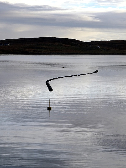
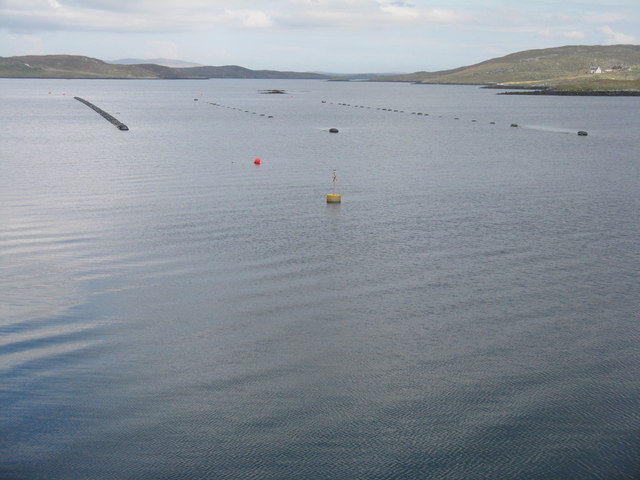
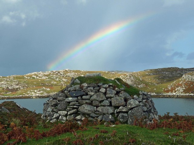
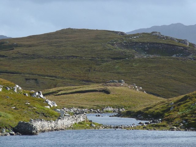
Loch na Craobhaig Images

Images are sourced within 2km of 58.218086/-6.8026415 or Grid Reference NB1835. Thanks to Geograph Open Source API. All images are credited.

Old hardstandings at Tob Blar Meadha Abandoned lobster loading hardstandings at the lobster pond.
Old hardstandings at Tob Blar Meadha
Abandoned lobster loading hardstandings at the lobster pond.
Craft workshop in Kirkibost One of the old shellfish processing factories at Kirkibost (Circeabost) is now reborn as a craftshop.
Craft workshop in Kirkibost
One of the old shellfish processing factories at Kirkibost (Circeabost) is now reborn as a craftshop.
Cleibh ghiomaich aig cidhe Chirceabost Lobster creels at Kirkibost harbour
Cleibh ghiomaich aig cidhe Chirceabost
Lobster creels at Kirkibost harbour
View towards Circebost Pier
Great Bernera: postbox № HS2 82 and a ruined croft house This postbox stands at the southern end of the island, a few hundred yards from the Bernera Bridge. Behind it, we see a ruined croft house, so common in the Scottish islands.
Great Bernera: postbox № HS2 82 and a ruined croft house
This postbox stands at the southern end of the island, a few hundred yards from the Bernera Bridge. Behind it, we see a ruined croft house, so common in the Scottish islands.
The Loch Barraglom Monster? Sadly not. They are lobster creels. Lobster fishing is an important contributor to the local economy.
The Loch Barraglom Monster?
Sadly not. They are lobster creels. Lobster fishing is an important contributor to the local economy.
Mussel farm at Iarsiadar To the east of the Bernara Bridge between Great Bernera/Beàrnaraigh and the Isle of Lewis.
Mussel farm at Iarsiadar
To the east of the Bernara Bridge between Great Bernera/Beàrnaraigh and the Isle of Lewis.
Croftland, Circebost, Great Bernera Looking across Loch Ròg an Ear (East Loch Roag) towards Eilean Chearstaigh.
Croftland, Circebost, Great Bernera
Looking across Loch Ròg an Ear (East Loch Roag) towards Eilean Chearstaigh.
Lazy beds below Cnoc Righseodh, Great Bernera/Beàrnaraigh
Shieling above Tob Chèurabhagh, Great Bernera/Beàrnaraigh Tob Chèurabhagh is a bay at the southern end of Loch Riosaigh.
Shieling above Tob Chèurabhagh, Great Bernera/Beàrnaraigh
Tob Chèurabhagh is a bay at the southern end of Loch Riosaigh.
Stepping stones across Loch nan Geadraisean, Great Bernera/Beàrnaraigh The OS 1:25,000 map shows the body of water to be called Loch na Muilne this side of the stepping stones and Loch nan Geadraisean beyond.  On the OS 1:50,000 map it is all called Loch nan Geadraisean.
Stepping stones across Loch nan Geadraisean, Great Bernera/Beàrnaraigh
The OS 1:25,000 map shows the body of water to be called Loch na Muilne this side of the stepping stones and Loch nan Geadraisean beyond. On the OS 1:50,000 map it is all called Loch nan Geadraisean.
Calanais/Callanish XV, Circebost, Great Bernera/Beàrnaraigh From Discovery and Excavation in Scotland, 1976: "On grassy ridge 100m N of road, 25m E of track through Croft 24, Kirkibost. A large prone slab approx. 3.55m x 1.35m, thickness varying from 0.25-0.45m, lying in peat on a grassy ridge. The lower end appears to be surrounded by packing stones and there is a void under the centre of the stone. This stone was brought to our notice by Mr Norman MacDonald of Kirkibost."
Calanais/Callanish XV, Circebost, Great Bernera/Beàrnaraigh
From Discovery and Excavation in Scotland, 1976: "On grassy ridge 100m N of road, 25m E of track through Croft 24, Kirkibost. A large prone slab approx. 3.55m x 1.35m, thickness varying from 0.25-0.45m, lying in peat on a grassy ridge. The lower end appears to be surrounded by packing stones and there is a void under the centre of the stone. This stone was brought to our notice by Mr Norman MacDonald of Kirkibost."
Possible fallen standing stone, Circebost, Great Bernera/Beàrnaraigh This stone lies approximately 80m ESE of <a href="https://www.geograph.org.uk/photo/5293759">NB1734 : Calanais/Callanish XV, Circebost, Great Bernera/Beàrnaraigh</a>.  The croft owner, who is the grandson of Norman MacDonald who originally brought Callanish XV to archaeologists' attention, believes it to be fallen standing stone.
Possible fallen standing stone, Circebost, Great Bernera/Beàrnaraigh
This stone lies approximately 80m ESE of NB1734 : Calanais/Callanish XV, Circebost, Great Bernera/Beàrnaraigh. The croft owner, who is the grandson of Norman MacDonald who originally brought Callanish XV to archaeologists' attention, believes it to be fallen standing stone.
Looking down at Circebost Circebost or Kirkibost is a tiny settlement on Great Bernera. This island is now connected to Lewis by a short pre-stressed concrete bridge. In 1953 when it was built it was and remains the first bridge of such material in Europe.  

The settlemenr is also important as it is the first planned crofting township in the Outer Hebrides, though I think town is a lofty description for such a small group of houses.
Looking down at Circebost
Circebost or Kirkibost is a tiny settlement on Great Bernera. This island is now connected to Lewis by a short pre-stressed concrete bridge. In 1953 when it was built it was and remains the first bridge of such material in Europe. The settlemenr is also important as it is the first planned crofting township in the Outer Hebrides, though I think town is a lofty description for such a small group of houses.
Standing Stones Very near the Bernera Bridge
Standing Stones
Very near the Bernera Bridge
Welcome to the Island of Great Bernera, Barraglom
Ruined cottage on Great Bernera The ruin stands at the side of the minor road close to the north shore of Loch Barraglom.
Ruined cottage on Great Bernera
The ruin stands at the side of the minor road close to the north shore of Loch Barraglom.
End of the road at Tobhtaral Two houses at the end of the road in the SE corner of Great Bernera island.
End of the road at Tobhtaral
Two houses at the end of the road in the SE corner of Great Bernera island.
Show me another place!

Loch na Craobhaig is located at Grid Ref: NB1835 (Lat: 58.218086, Lng: -6.8026415)

Unitary Authority: Na h-Eileanan an Iar

Police Authority: Highlands and Islands

What 3 Words

///coherent.factored.easels. Near Carloway, Na h-Eileanan Siar

Related Wikis

Ceabhaigh

Ceabhaigh is a small island in an arm of Loch Ròg on the west coast of Lewis in the Outer Hebrides of Scotland. It is about 25 hectares (62 acres) in extent...

Callanish VIII

The Callanish VIII stone setting is one of many megalithic structures around the better-known (and larger) Calanais I on the west coast of the Isle of...

Breaclete

Breacleit (or Roulanish; Scottish Gaelic: Breacleit; Old Norse: Breiðiklettr) is the central village on Great Bernera in the Outer Hebrides, Scotland....

Dun Bharabhat, Great Bernera

Dun Bharabhat (or Dun Baravat) is an Iron Age galleried dun or "semi-broch" situated on the island of Great Bernera near Lewis in Scotland (grid reference...

Nearby Amenities

Located within 500m of 58.218086,-6.8026415
Passing Place
Lat/Long: 58.2202945/-6.7992196
Barrier: cattle_grid
Lat/Long: 58.2197238/-6.7988753
Power: pole
Lat/Long: 58.2207088/-6.7985394
Power: pole
Lat/Long: 58.2195673/-6.7973606
Power: pole
Lat/Long: 58.2192293/-6.7964477
Power: pole
Lat/Long: 58.2189298/-6.795775
Power: pole
Lat/Long: 58.2185078/-6.7946713
Turning Circle
Lat/Long: 58.220998/-6.7980806
The data included in this document is from www.openstreetmap.org. The data is made available under ODbL.

Have you been to Loch na Craobhaig?

Leave your review of Loch na Craobhaig below (or comments, questions and feedback).