Beiris Geodha Beag
Coastal Feature, Headland, Point in Ross-shire
Scotland
Beiris Geodha Beag

Beiris Geodha Beag is a prominent coastal feature located in Ross-shire, Scotland. It is classified as a headland or point due to its geographical characteristics. This stunning landform is situated along the rugged coastline, offering breathtaking views of the surrounding area.
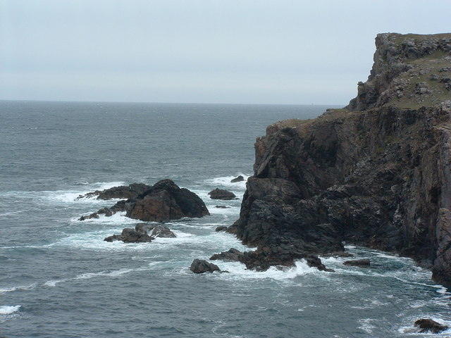
Beiris Geodha Beag is characterized by its rocky cliffs, which rise dramatically from the sea. The headland extends out into the waters of the North Atlantic Ocean, creating a natural barrier between the land and the open sea. The cliffs are composed of various rock types, including sandstone and limestone, which have been weathered over time by the powerful waves and coastal erosion.
The headland is also known for its diverse wildlife and natural beauty. It provides a habitat for a variety of bird species, including puffins, guillemots, and razorbills, making it a popular spot for birdwatching enthusiasts. In addition, the coastal waters around Beiris Geodha Beag are home to seals and dolphins, adding to the area's charm and appeal.
Visitors to Beiris Geodha Beag can enjoy coastal walks along the cliff tops, taking in the breathtaking views of the surrounding coastline and the vast expanse of the ocean. The headland is also a great place for photography, with its dramatic cliffs and crashing waves providing plenty of opportunities for capturing stunning images.
Overall, Beiris Geodha Beag is a captivating coastal feature in Ross-shire, Scotland. Its rugged cliffs, diverse wildlife, and stunning views make it a must-visit destination for nature lovers and outdoor enthusiasts alike.
If you have any feedback on the listing, please let us know in the comments section below.
Beiris Geodha Beag Images
Images are sourced within 2km of 58.285434/-6.822966 or Grid Reference NB1743. Thanks to Geograph Open Source API. All images are credited.
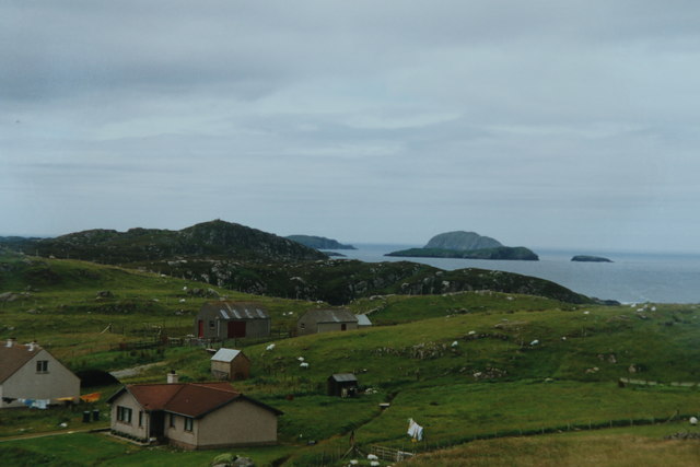
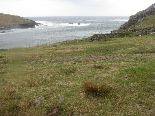

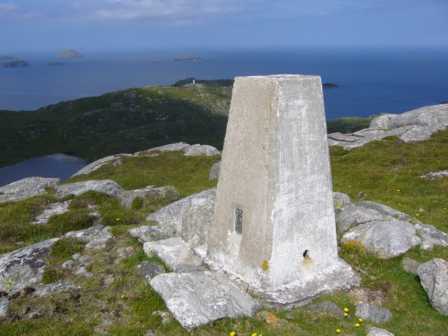
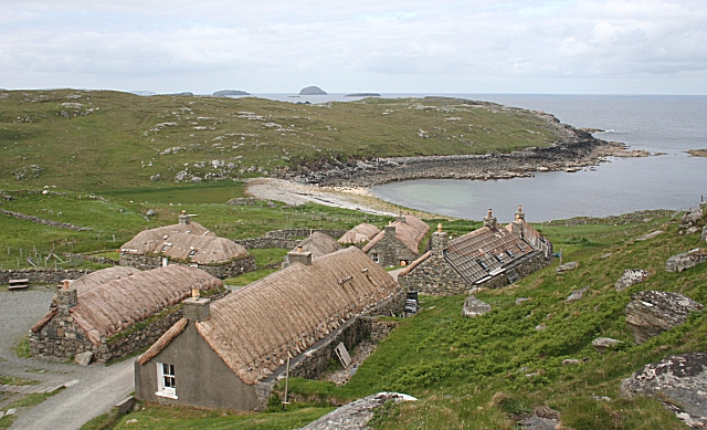
![Ben Laimishader Try and park before turning circle at road end. The old track to the abandoned village and lazy beds is a gem in places. I saw a pair of Sea Eagles while bagging this coastal HuMP.
Name: Ben Laimishader [Aird Laimishader]
Hill number: 4955
Height: 115m / 377ft
Parent (Ma/M): 1577 Beinn Bhragair
Section: 24A: Lewis and Nearby Islands
County/UA: Na h-Eileanan Siar [Western Isles] (UA)
Island: Lewis and Harris
Class: HuMP, Tump (100-199m)
Grid ref: NB179427 (est)
Drop: 100m
Col: 15m NB196436](https://s1.geograph.org.uk/geophotos/04/18/56/4185621_0f522673.jpg)
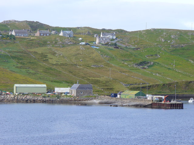
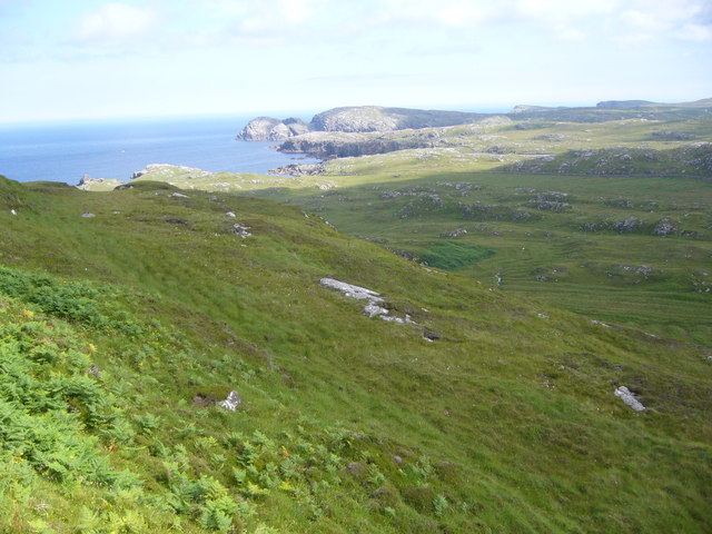
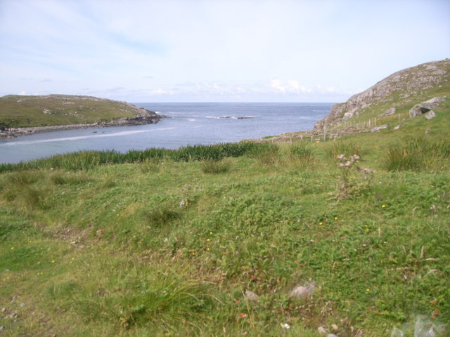
![Ben Borrowston Bagged on the way back to car after Ben Laimishader.
Name: Ben Borrowston
Hill number: 12561
Height: 85m / 279ft
Parent (Ma/M): 1577 Beinn Bhragair
Section: 24A: Lewis and Nearby Islands
County/UA: Na h-Eileanan Siar [Western Isles] (UA)
Island: Lewis and Harris
Class: Tump (0-99m)
Grid ref: NB188427 (est)
Drop: 61m
Col: 24m NB185428](https://s3.geograph.org.uk/geophotos/04/18/56/4185631_2ae4f1d7.jpg)
Beiris Geodha Beag is located at Grid Ref: NB1743 (Lat: 58.285434, Lng: -6.822966)
Unitary Authority: Na h-Eileanan an Iar
Police Authority: Highlands and Islands
What 3 Words
///winners.spearhead.withdraw. Near Carloway, Na h-Eileanan Siar
Related Wikis

Borrowston, Lewis
Borrowston (Scottish Gaelic: Borghastan), with a population of about 50, is a crofting township situated on the Isle of Lewis, on the Outer Hebrides of...

Garenin
Garenin (Scottish Gaelic: Na Gearrannan) is a crofting township on the west coast of the Isle of Lewis in the Outer Hebrides of Scotland. Garenin is in...

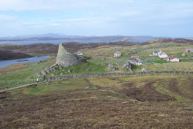
Dun Carloway
Dun Carloway (Scottish Gaelic: Dùn Chàrlabhaigh) is a broch situated in the district of Carloway, on the west coast of the Isle of Lewis, Scotland (grid...

Cealasaigh
Cealasaigh or Kealasay is an islet in outer Loch Ròg, Lewis, Scotland that lies north of Traigh Mhór on Little Bernera and south of Campaigh. To the west...
Nearby Amenities
Located within 500m of 58.285434,-6.822966Have you been to Beiris Geodha Beag?
Leave your review of Beiris Geodha Beag below (or comments, questions and feedback).