Creag na h-Iolaire
Coastal Feature, Headland, Point in Inverness-shire
Scotland
Creag na h-Iolaire
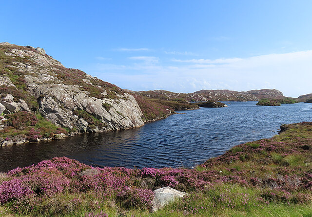
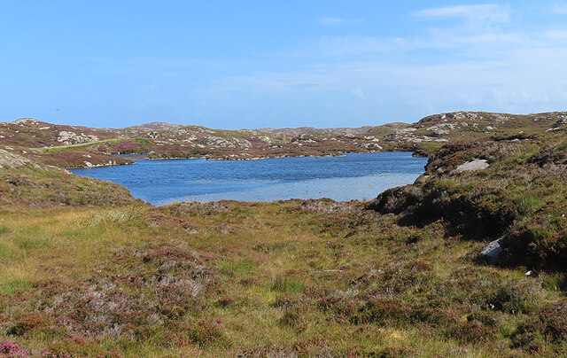
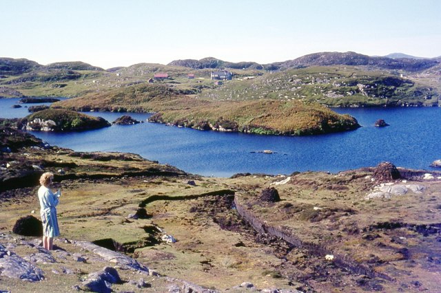
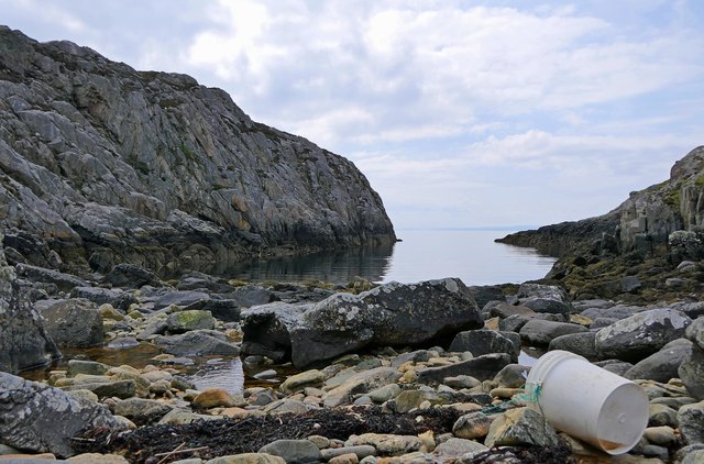
Creag na h-Iolaire is a prominent coastal feature located in Inverness-shire, Scotland. This headland, also known as the Eagle Rock, juts out into the North Atlantic Ocean, offering breathtaking views of the surrounding area. It is situated approximately 10 miles northeast of Inverness, making it easily accessible for visitors.
The name Creag na h-Iolaire translates to "Rock of the Eagle" in Gaelic, which is fitting considering the abundance of birdlife that can be observed here. The cliff faces of the headland provide an ideal habitat for various seabirds, including eagles, falcons, and gannets. Birdwatchers flock to this spot to witness the impressive aerial displays and nesting activities of these magnificent creatures.
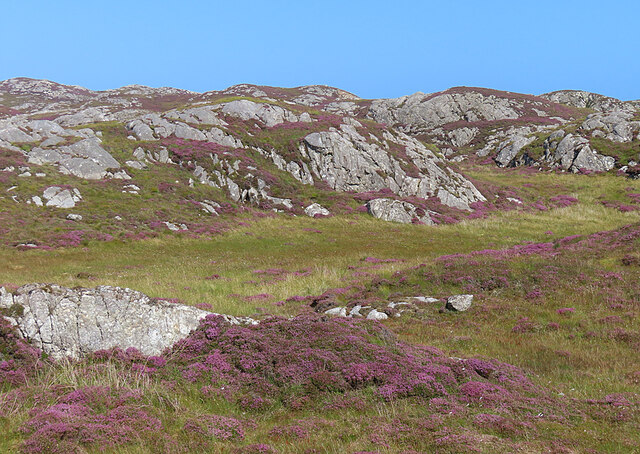
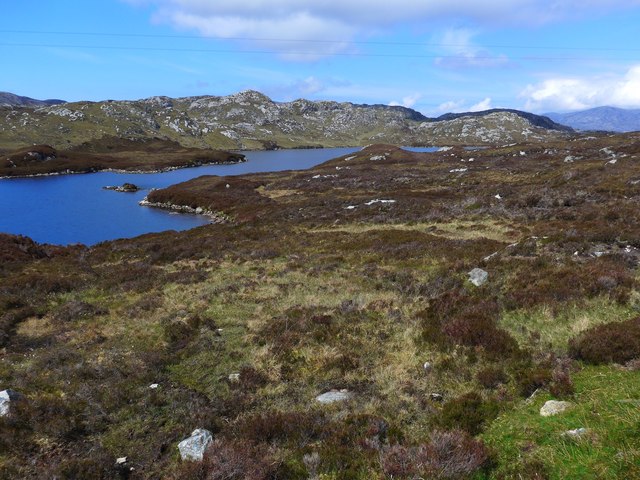
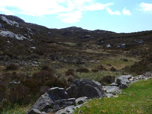
In addition to its ornithological significance, Creag na h-Iolaire boasts stunning geological formations. The headland is composed of towering cliffs and rugged rock formations that have been carved by centuries of erosion and weathering. These natural features create a dramatic backdrop against the crashing waves of the ocean, adding to the overall beauty of the site.
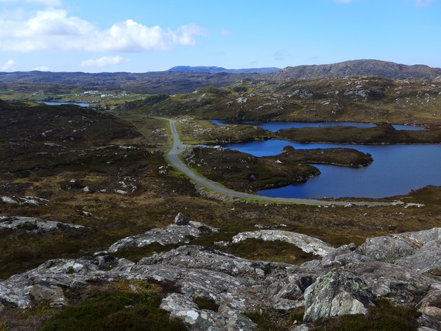
For outdoor enthusiasts, Creag na h-Iolaire offers excellent opportunities for hiking and exploring. There are several walking trails that wind their way along the coast, providing visitors with panoramic views of the surrounding landscape. It is also a popular spot for photography, with the changing light conditions and ever-present wildlife offering endless opportunities for capturing stunning images.
Overall, Creag na h-Iolaire is a captivating coastal feature that combines breathtaking natural beauty with rich biodiversity. Whether you are a nature lover, a birdwatcher, or simply seeking a place to unwind and connect with nature, this headland is a must-visit destination in Inverness-shire.
If you have any feedback on the listing, please let us know in the comments section below.
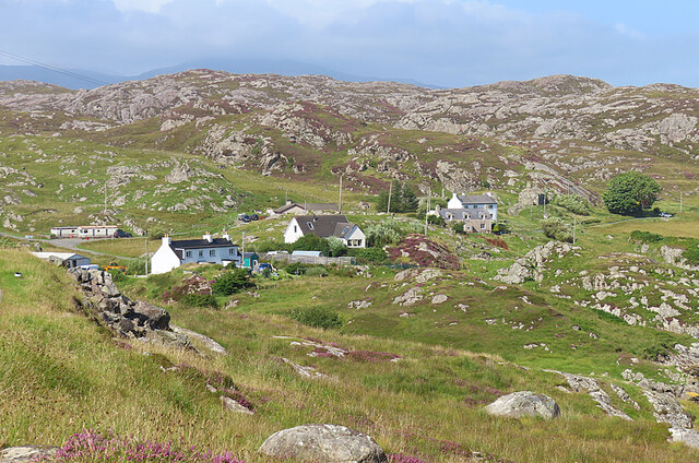
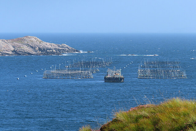
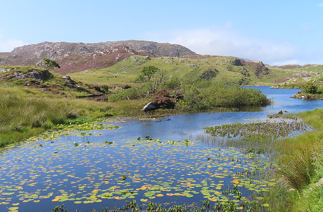
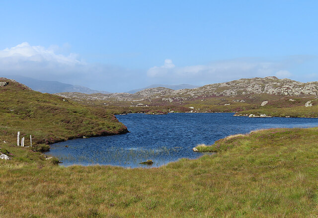
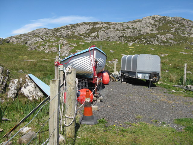
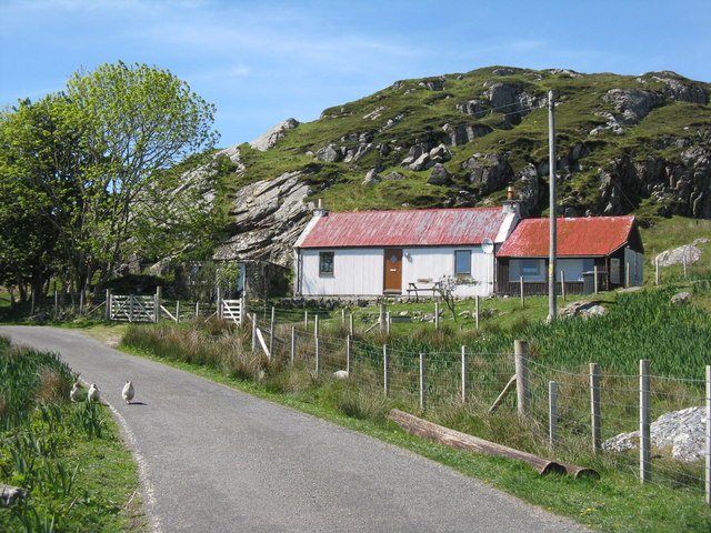
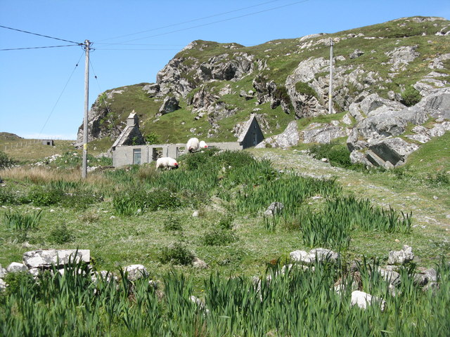
Creag na h-Iolaire Images
Images are sourced within 2km of 57.828688/-6.7820309 or Grid Reference NG1692. Thanks to Geograph Open Source API. All images are credited.

Creag na h-Iolaire is located at Grid Ref: NG1692 (Lat: 57.828688, Lng: -6.7820309)
Unitary Authority: Na h-Eileanan an Iar
Police Authority: Highlands and Islands
What 3 Words
///condense.bikers.example. Near Tarbert, Na h-Eileanan Siar
Related Wikis

Stockinish Island
Stockinish Island (Scottish Gaelic: Eilean Stocainis) is an uninhabited island off Harris, in the Outer Hebrides. == Geography and geology == Stockinish...

East Loch Tarbert
East Loch Tarbert (Scottish Gaelic: Loch an Tairbeairt) is a sea loch that lies to the east of Harris in the Outer Hebrides of Scotland. The loch contains...

Sgeotasaigh
Scotasay (Scottish Gaelic: Sgeotasaigh) is small island in the Outer Hebrides of Scotland. It lies 1 kilometre (0.6 miles) off the east coast of Harris...

Scalpay, Outer Hebrides
Scalpay (; Scottish Gaelic: Sgalpaigh or Sgalpaigh na Hearadh; i.e. "Scalpay of Harris" to distinguish it from Scalpay off Skye) is an island in the Outer...
Nearby Amenities
Located within 500m of 57.828688,-6.7820309Have you been to Creag na h-Iolaire?
Leave your review of Creag na h-Iolaire below (or comments, questions and feedback).