A' Ghruagach
Coastal Feature, Headland, Point in Argyllshire
Scotland
A' Ghruagach
A' Ghruagach, located in Argyllshire, Scotland, is a captivating coastal feature that encompasses a headland and point. This awe-inspiring natural formation is renowned for its stunning beauty and picturesque landscapes, attracting locals and tourists alike.
The headland of A' Ghruagach boasts dramatic cliffs that rise majestically from the tumultuous waters of the Atlantic Ocean. These towering cliffs offer breathtaking views of the surrounding area and serve as a haven for a diverse range of seabirds, including puffins and gannets, making it a paradise for birdwatching enthusiasts.
At the tip of the headland lies the point of A' Ghruagach, which juts out into the sea, creating a distinct landmark that is visible from miles away. This rocky promontory is often pounded by crashing waves, creating a mesmerizing spectacle for onlookers. The point also offers panoramic vistas of the ocean, providing a tranquil escape from the hustle and bustle of everyday life.
A' Ghruagach is not only a visual marvel but also holds a significant place in local folklore. Legend has it that the headland is home to a mystical sea creature known as the Ghruagach, a mermaid-like being with long flowing hair. According to folklore, those who catch a glimpse of the Ghruagach are granted good luck and prosperity.
Visitors to A' Ghruagach can explore the area by following scenic coastal trails that meander along the clifftops, providing stunning views at every turn. The headland also offers opportunities for rock climbing and fishing, making it a popular destination for adventure enthusiasts.
In conclusion, A' Ghruagach in Argyllshire is a captivating coastal feature that encompasses a headland and point. With its stunning cliffs, diverse wildlife, and rich folklore, it is a must-visit destination for nature lovers and those seeking a taste of Scotland's natural beauty.
If you have any feedback on the listing, please let us know in the comments section below.
A' Ghruagach Images
Images are sourced within 2km of 56.967409/-6.6747198 or Grid Reference NM1595. Thanks to Geograph Open Source API. All images are credited.


A' Ghruagach is located at Grid Ref: NM1595 (Lat: 56.967409, Lng: -6.6747198)
Unitary Authority: Highland
Police Authority: Highlands and Islands
What 3 Words
///says.prowling.thinking. Near Arinagour, Argyll & Bute
Nearby Locations
Related Wikis

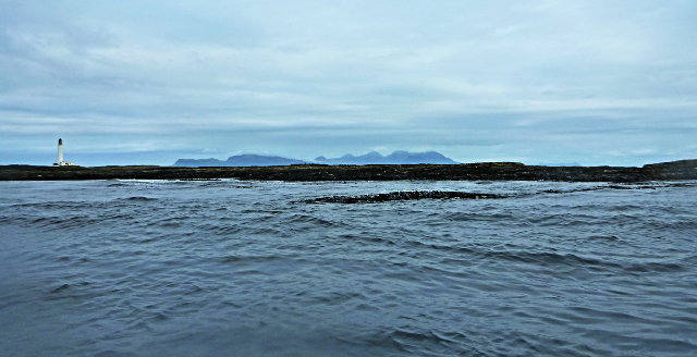
Hyskeir
Hyskeir (Scottish Gaelic: Òigh-sgeir) or Heyskeir is a low-lying rocky islet (a skerry) in the Inner Hebrides, Scotland. The Hyskeir Lighthouse marks the...
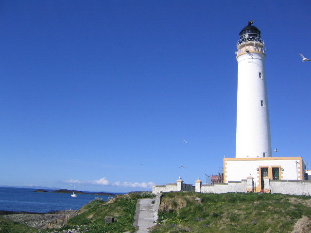
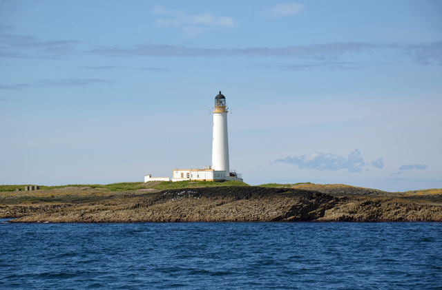
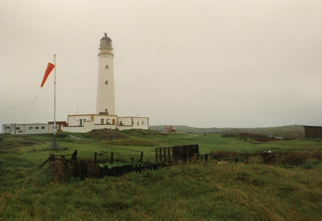
Hyskeir Lighthouse
Hyskeir Lighthouse was established in 1904. The 39 metres (128 ft) metre high lighthouse marks the southern end of the Minch, warning of the presence of...
Garbh Sgeir
Garbh Sgeir (Gaelic: 'rough skerry') is a rock about 100 metres west of the islet Òigh-sgeir, in the Small Isles, Lochaber, Scotland. There is an anchorage...
Nearby Amenities
Located within 500m of 56.967409,-6.6747198Have you been to A' Ghruagach?
Leave your review of A' Ghruagach below (or comments, questions and feedback).