Rubha Bàn
Coastal Feature, Headland, Point in Inverness-shire
Scotland
Rubha Bàn
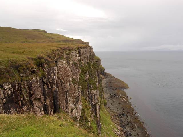
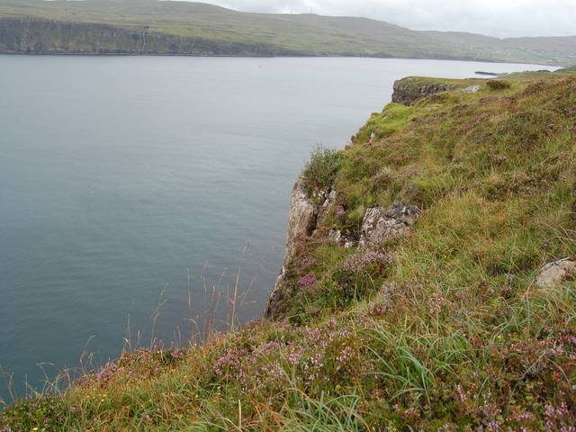
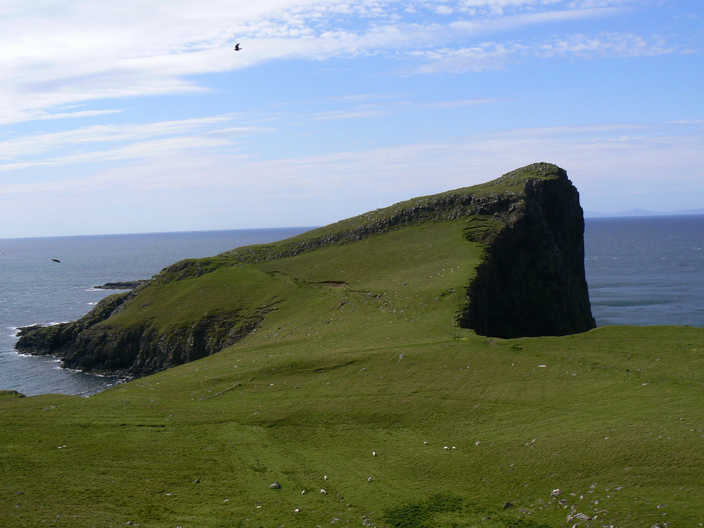
Rubha Bàn, located in Inverness-shire, is a prominent coastal feature known for its stunning headland and beautiful natural surroundings. Situated on the western coast of Scotland, this point juts out into the North Atlantic Ocean, offering breathtaking views and a unique experience for visitors.
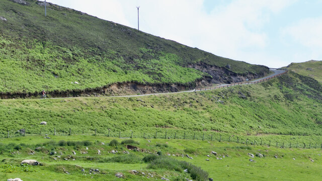
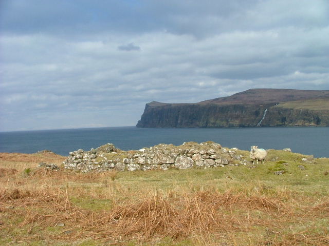
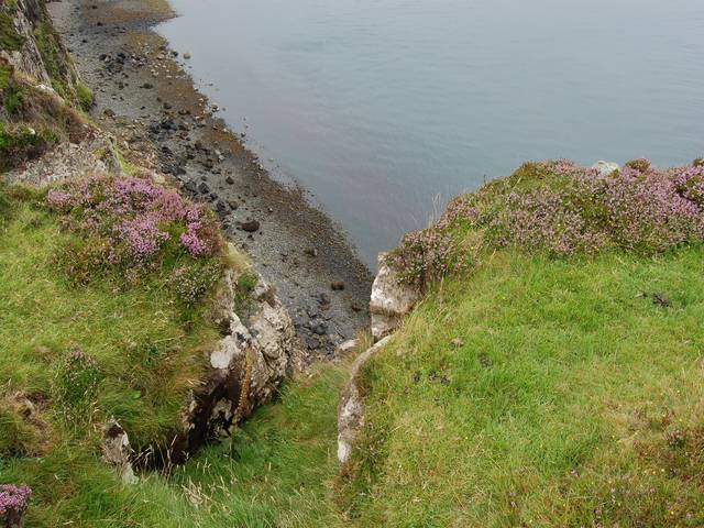
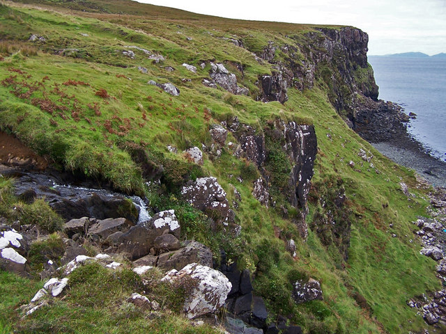
The headland of Rubha Bàn is characterized by its rugged cliffs and rocky terrain, which provide a dramatic backdrop against the crashing waves of the ocean. The point itself is formed by the gradual erosion of the land over time, creating a distinctive shape that is both visually striking and geologically fascinating.
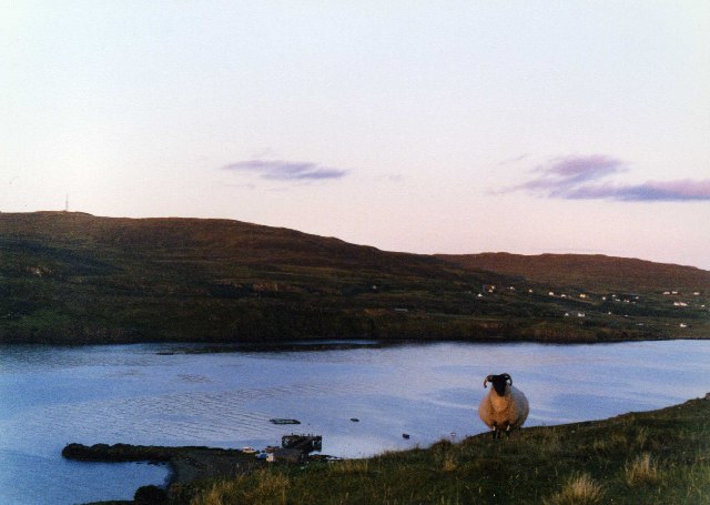
The area surrounding Rubha Bàn is rich in biodiversity, with a variety of plant and animal species calling it home. Lush green grasses cover the cliffs, providing a habitat for nesting birds such as puffins and gulls. Marine life can also be observed in the surrounding waters, including seals and dolphins that occasionally swim close to the shore.
Visitors to Rubha Bàn can enjoy a range of activities, from hiking along the coastal paths to birdwatching and photography. The headland offers several vantage points for capturing the stunning vistas, and the constant sound of crashing waves creates a tranquil atmosphere.
Overall, Rubha Bàn in Inverness-shire is a captivating coastal feature that showcases the beauty of Scotland's natural landscape. With its striking headland, diverse wildlife, and picturesque views, it is a must-visit destination for nature enthusiasts and those seeking a peaceful escape by the sea.
If you have any feedback on the listing, please let us know in the comments section below.
Rubha Bàn Images
Images are sourced within 2km of 57.452091/-6.780871 or Grid Reference NG1350. Thanks to Geograph Open Source API. All images are credited.


Rubha Bàn is located at Grid Ref: NG1350 (Lat: 57.452091, Lng: -6.780871)
Unitary Authority: Highland
Police Authority: Highlands and Islands
What 3 Words
///shepherdess.flipper.dented. Near Glendale, Highland
Nearby Locations
Related Wikis

Milovaig
Milovaig (Scottish Gaelic: Mìolabhaig), comprises two small scattered, mixed crofting and residential townships, consisting of Lower Milovaig to the North...
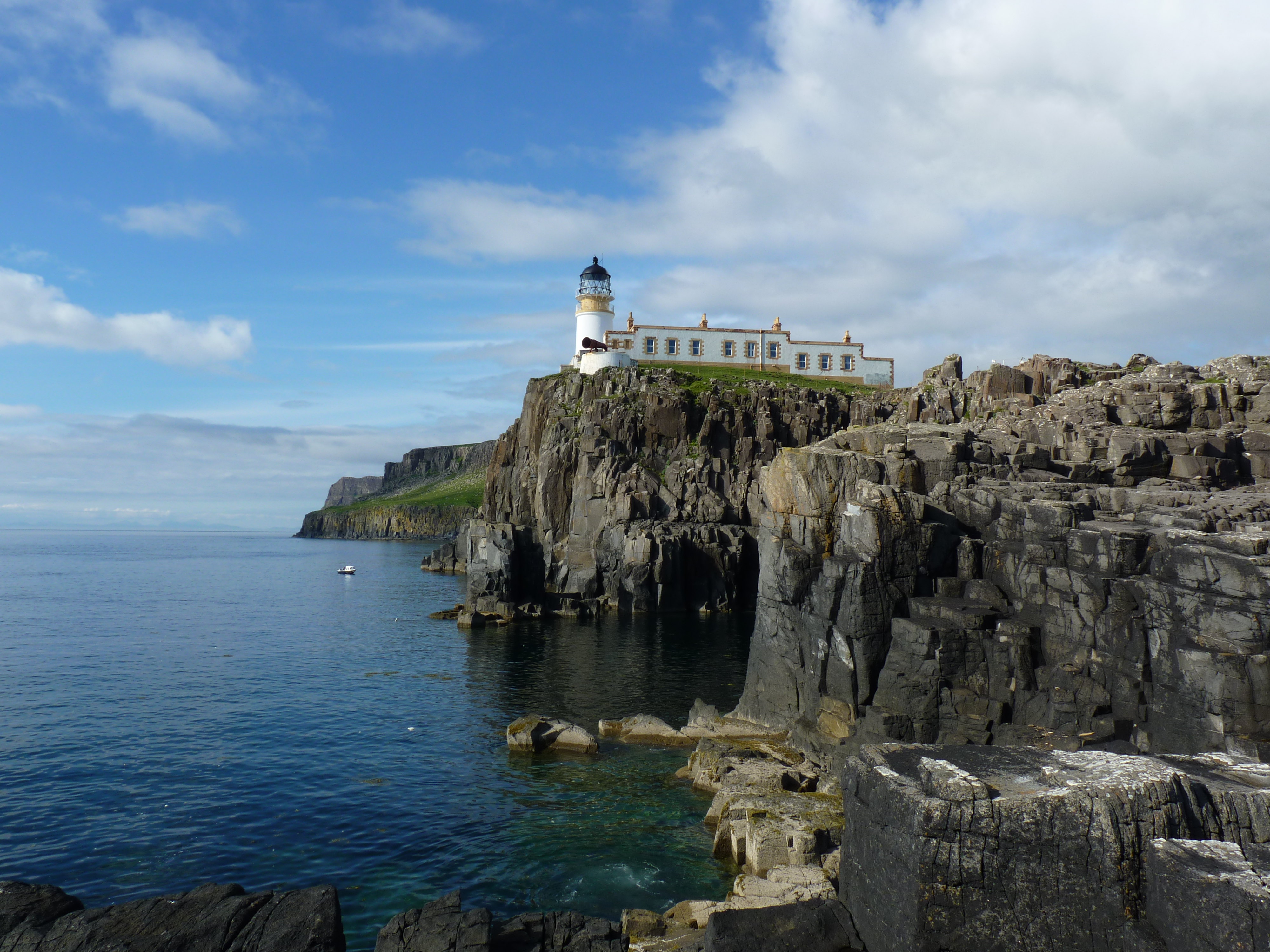
Neist Point Lighthouse
Neist Point Lighthouse is a lighthouse located on Neist Point on the Isle of Skye in Scotland. It was designed by David Alan Stevenson and was first lit...
Neist Point
Neist Point (Scottish Gaelic: Rubha na h-Eist) is a viewpoint on the most westerly point of Skye. Neist Point Lighthouse has been located there since...
Borrodale
Borrodale (Scottish Gaelic: Borodail) is small hamlet on the Isle of Skye, in the Inner Hebrides of Scotland. Borrodale is part of Glendale and the Glendale...
Have you been to Rubha Bàn?
Leave your review of Rubha Bàn below (or comments, questions and feedback).