Aonaig Bheag
Coastal Feature, Headland, Point in Ross-shire
Scotland
Aonaig Bheag

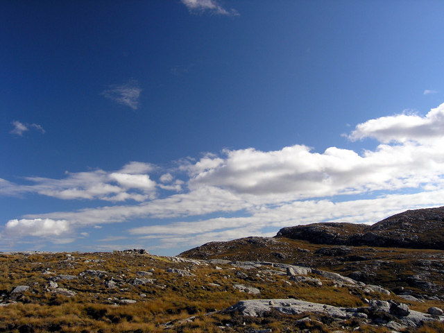
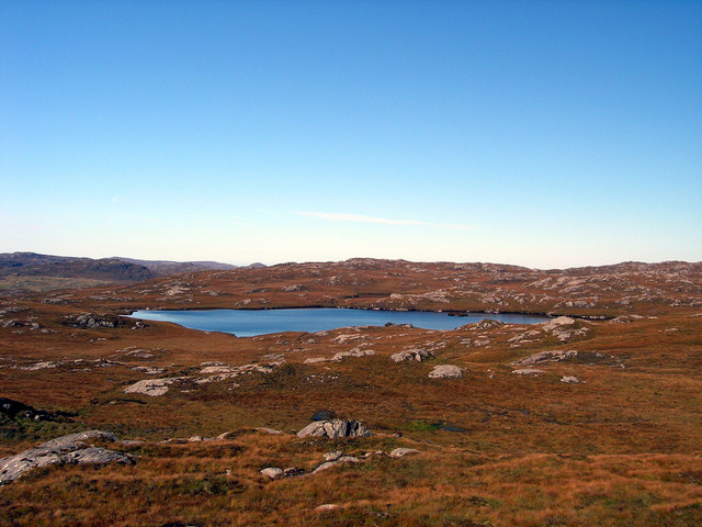
Aonaig Bheag is a prominent headland located in Ross-shire, Scotland. Situated along the rugged coastline, it juts out into the North Atlantic Ocean, offering breathtaking panoramic views of the surrounding landscape. This coastal feature is characterized by its steep cliffs and rocky terrain, which contribute to its dramatic appearance.
The headland is comprised of various geological formations, including layers of sedimentary rocks that have been shaped by centuries of erosion from wind and waves. These rocks exhibit a range of colors, from deep reds to pale yellows, adding to the visual appeal of the area.
Aonaig Bheag is renowned for its diverse wildlife, attracting nature enthusiasts and birdwatchers alike. The headland provides a habitat for various seabird species, including gannets, puffins, and guillemots, which nest along the cliff edges.
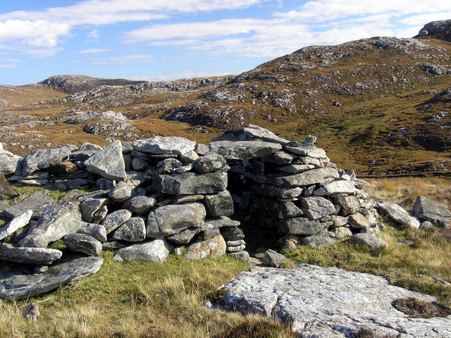
Visitors to Aonaig Bheag can explore the area by following the coastal path that winds its way around the headland. This path offers stunning views of the surrounding sea and nearby islands, providing ample opportunities for photography and relaxation. Additionally, the headland is a popular spot for fishing and sea angling, with enthusiasts often casting their lines from the rocky shoreline.
Overall, Aonaig Bheag is a captivating coastal feature that showcases the rugged beauty of the Ross-shire coastline. Its dramatic cliffs, diverse wildlife, and stunning vistas make it a must-visit destination for nature lovers and outdoor enthusiasts.
If you have any feedback on the listing, please let us know in the comments section below.
Aonaig Bheag Images
Images are sourced within 2km of 58.161291/-6.8784895 or Grid Reference NB1329. Thanks to Geograph Open Source API. All images are credited.


Aonaig Bheag is located at Grid Ref: NB1329 (Lat: 58.161291, Lng: -6.8784895)
Unitary Authority: Na h-Eileanan an Iar
Police Authority: Highlands and Islands
What 3 Words
///legs.poems.pulps. Near Carloway, Na h-Eileanan Siar
Nearby Locations
Related Wikis

Gisla Hydro-Electric Scheme
Gisla Hydro-Electric Scheme was a small scheme promoted by the North of Scotland Hydro-Electric Board on the Isle of Lewis, Outer Hebrides, Scotland. It...

Fuaigh Beag
Fuaigh Beag or Vuia Be(a)g is an island in the Outer Hebrides. It is off the west coast of Lewis near Great Bernera in Loch Roag. Its name means "little...
Loch Ròg
Loch Ròg or Loch Roag is a large sea loch on the west coast of Lewis, Outer Hebrides. It is broadly divided into East Loch Roag and West Loch Roag with...
Flodaigh, Lewis
Flodaigh is a small island in Loch Roag on the west coast of Lewis in the Outer Hebrides of Scotland. It is about 33 hectares (82 acres) in extent and...
Fuaigh Mòr
Fuaigh Mòr (sometimes anglicised as Vuia Mor) is an island in the Outer Hebrides of Scotland. It is off the west coast of Lewis near Great Bernera in...

Callanish VIII
The Callanish VIII stone setting is one of many megalithic structures around the better-known (and larger) Calanais I on the west coast of the Isle of...

Loch na Berie
Loch Na Berie is a broch in the Outer Hebrides of Scotland, located approximately 400 yards from the shore, and is thought to have been located on an island...

Dun Bharabhat, Great Bernera
Dun Bharabhat (or Dun Baravat) is an Iron Age galleried dun or "semi-broch" situated on the island of Great Bernera near Lewis in Scotland (grid reference...
Nearby Amenities
Located within 500m of 58.161291,-6.8784895Have you been to Aonaig Bheag?
Leave your review of Aonaig Bheag below (or comments, questions and feedback).