Llwyndrain

Settlement in Pembrokeshire

Wales

Llwyndrain

Ordnance Survey Cut Mark This OS cut mark can be found on the concrete gatepost NW side of the road. It marks a point 194.543m above mean sea level.
Ordnance Survey Cut Mark Credit: Adrian Dust

The requested URL returned error: 429 Too Many Requests

If you have any feedback on the listing, please let us know in the comments section below.
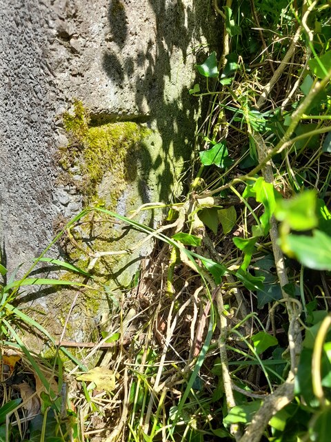
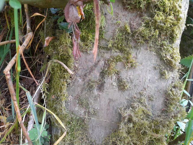
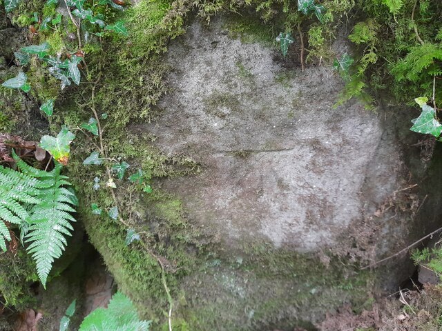
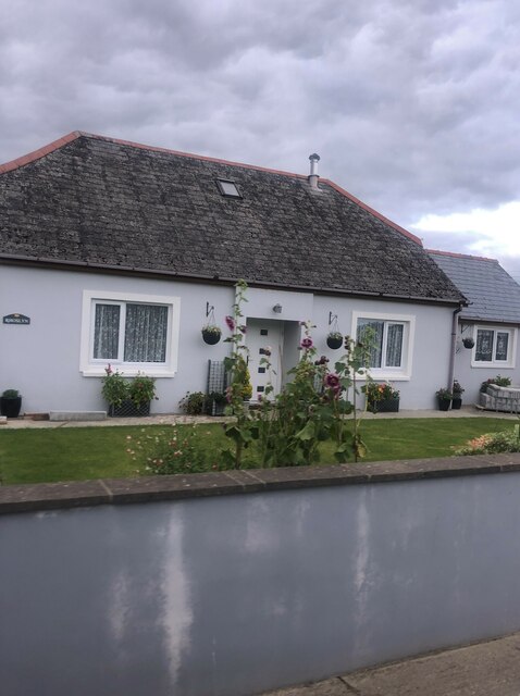
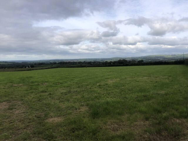
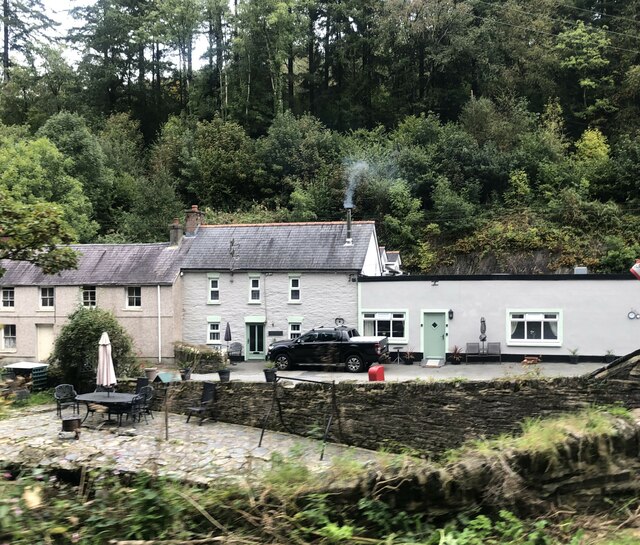
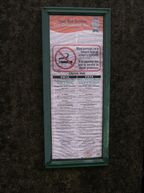
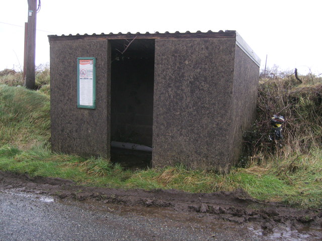
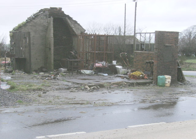
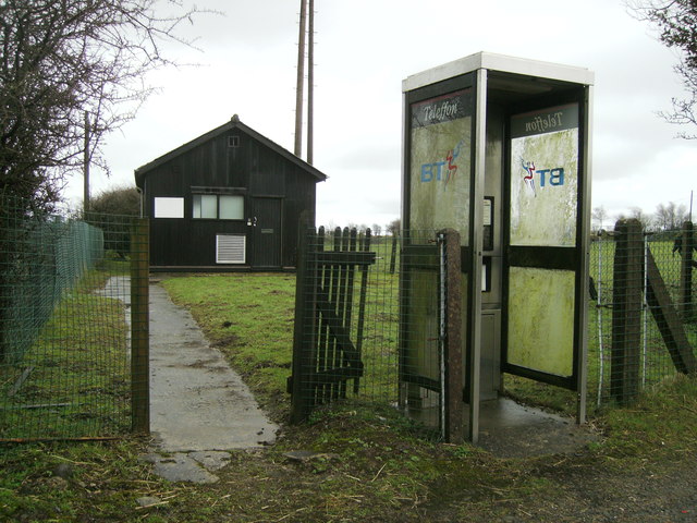
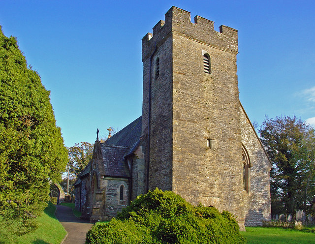
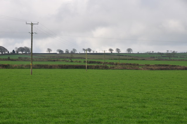
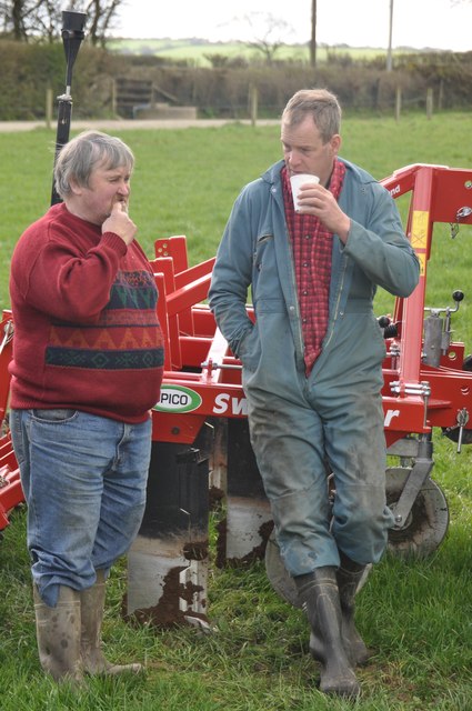
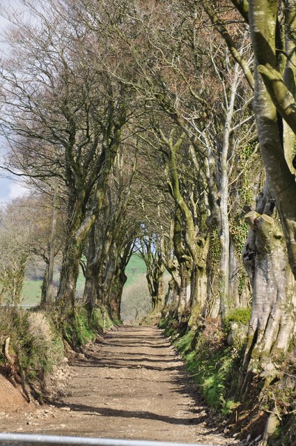
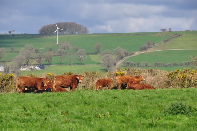
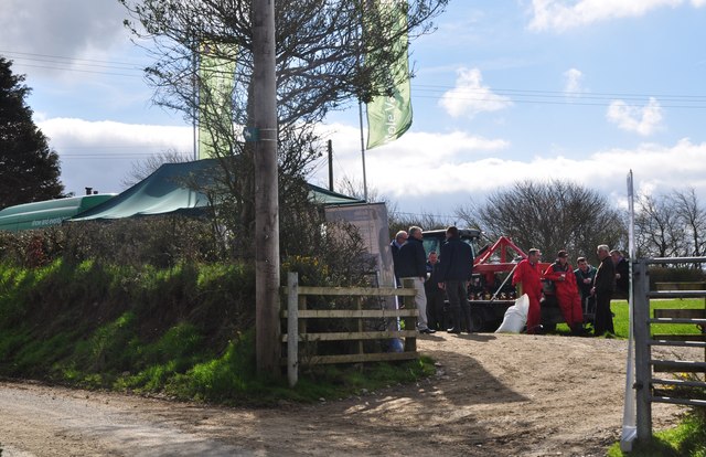
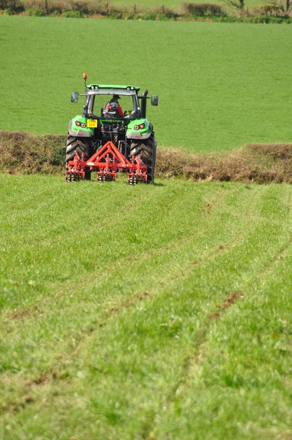
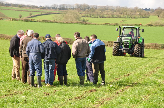
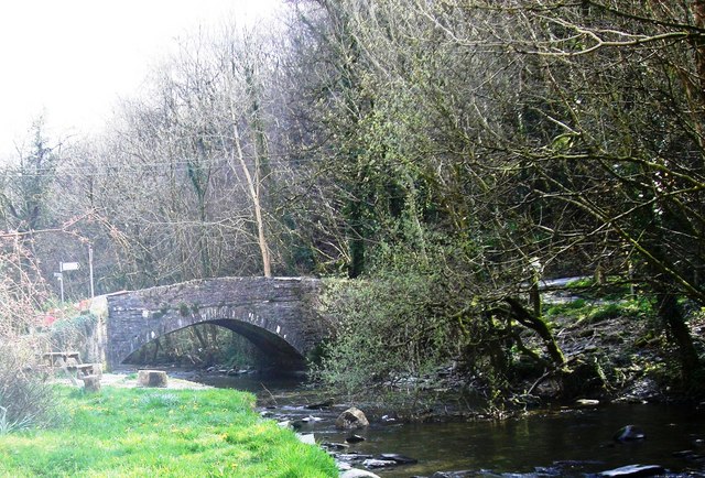
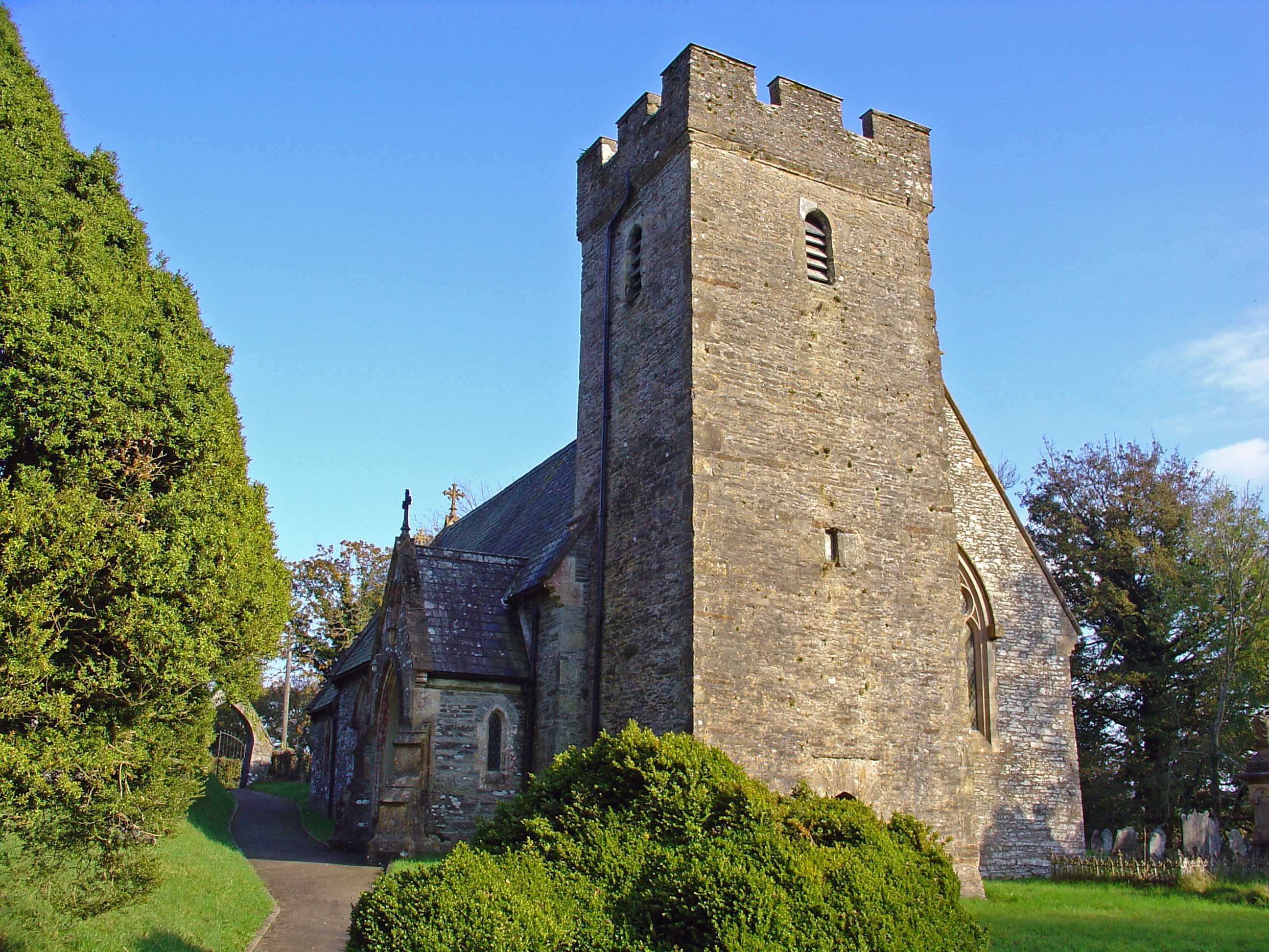
Llwyndrain Images

Images are sourced within 2km of 51.981352/-4.525949 or Grid Reference SN2634. Thanks to Geograph Open Source API. All images are credited.

Ordnance Survey Cut Mark This OS cut mark can be found on the concrete gatepost NW side of the road. It marks a point 194.543m above mean sea level.
Ordnance Survey Cut Mark
This OS cut mark can be found on the concrete gatepost NW side of the road. It marks a point 194.543m above mean sea level.
Ordnance Survey Cut Mark This OS cut mark can be found on the concrete post NW side of the road. It marks a point 142.539m above mean sea level.
Ordnance Survey Cut Mark
This OS cut mark can be found on the concrete post NW side of the road. It marks a point 142.539m above mean sea level.
Ordnance Survey Cut Mark This OS cut mark can be found on the stone wall SE side of the road. It marks a point 82.875m above mean sea level.
Ordnance Survey Cut Mark
This OS cut mark can be found on the stone wall SE side of the road. It marks a point 82.875m above mean sea level.
Rhoslyn Bungalow opposite Cross Inn Farm at an un-named hamlet in north Pembrokeshire
Rhoslyn
Bungalow opposite Cross Inn Farm at an un-named hamlet in north Pembrokeshire
Pembrokeshire farmland South-east of Cardigan, this area of Pembrokeshire is remote, with a few scattered farms and hamlets.
Pembrokeshire farmland
South-east of Cardigan, this area of Pembrokeshire is remote, with a few scattered farms and hamlets.
Fox & Hounds, Cwm Cych Former public house, now a private house
Fox & Hounds, Cwm Cych
Former public house, now a private house
Sign for smokers This sign is warning smokers, it is against the law to smoke in these premises!!! see<a href="https://www.geograph.org.uk/photo/3313545">SN2533 : Bus shelter at Cross Inn</a> for picture of "premises"
Sign for smokers
This sign is warning smokers, it is against the law to smoke in these premises!!! seeSN2533 : Bus shelter at Cross Inn for picture of "premises"
Bus shelter at Cross Inn This bus shelter is on the route of the "Green Dragon" bus service, Wheelchair accessible community minibus, Dial a Ride door to door services.
Bus shelter at Cross Inn
This bus shelter is on the route of the "Green Dragon" bus service, Wheelchair accessible community minibus, Dial a Ride door to door services.
Local forge with no roof Many visits to this building over the years, and I never knew there was a blacksmith's forge inside. Mind, everything in the building was black including the windows! The steel walls were removed a couple of years ago. Vice on its bench is outside on the left, rusting, used to be an agricultural dealer working here, and living opposite in the Cross Inn (Farm) which was a pub many years ago.
Local forge with no roof
Many visits to this building over the years, and I never knew there was a blacksmith's forge inside. Mind, everything in the building was black including the windows! The steel walls were removed a couple of years ago. Vice on its bench is outside on the left, rusting, used to be an agricultural dealer working here, and living opposite in the Cross Inn (Farm) which was a pub many years ago.
Entrance path to telephone exchange The local telephone box by the exchange, I expect that it is seldom used these days, as most people have "mobiles", it needs a good clean to remove the algae after the recent wet weather.
Entrance path to telephone exchange
The local telephone box by the exchange, I expect that it is seldom used these days, as most people have "mobiles", it needs a good clean to remove the algae after the recent wet weather.
Clydey Parish Church
Pembrokeshire : Grassy Field A grassy field in the Pembrokeshire countryside.
Pembrokeshire : Grassy Field
A grassy field in the Pembrokeshire countryside.
Pembrokeshire : Talking Farmers Two farmers in the field having a chat.
Pembrokeshire : Talking Farmers
Two farmers in the field having a chat.
Pembrokeshire : Small Lane A small lane and footpath head out into the countryside.
Pembrokeshire : Small Lane
A small lane and footpath head out into the countryside.
Pembrokeshire : Grassy Field & Cattle Cattle grazing in a grassy field in the Pembrokeshire countryside.
Pembrokeshire : Grassy Field & Cattle
Cattle grazing in a grassy field in the Pembrokeshire countryside.
Pembrokeshire : Country Lane A country lane and entrance to the field where a small event is taking place.
Pembrokeshire : Country Lane
A country lane and entrance to the field where a small event is taking place.
Pembrokeshire : Grassy Field & Tractor A tractor ploughing the field in Pembrokeshire.
Pembrokeshire : Grassy Field & Tractor
A tractor ploughing the field in Pembrokeshire.
Pembrokeshire : Grassy Field A grassy field with members of the farming community gathered around to look at the ploughing process.
Pembrokeshire : Grassy Field
A grassy field with members of the farming community gathered around to look at the ploughing process.
Show me another place!

Llwyndrain is located at Grid Ref: SN2634 (Lat: 51.981352, Lng: -4.525949)

Unitary Authority: Pembrokeshire

Police Authority: Dyfed Powys

What 3 Words

///behave.playfully.runs. Near Trelech, Carmarthenshire

Related Wikis

Cwmcych

Cwmcych, Cwm Cych or Glyn Cuch (Welsh for 'Valley of the river Cych') is a small village in the upper Cych valley straddling the border between Carmarthenshire...

Cilrhedyn

Cilrhedyn is a hamlet and parish in the counties of Carmarthenshire and Pembrokeshire, Wales, in the hill country to the south of the Teifi valley. The...

Clydau

Clydau (sometimes Clydaï or Clydey) is a community and parish in Pembrokeshire, Wales. == Name == The meaning of the Welsh placename is uncertain, although...

Pont Cych

Pont Cych is a single-arch, Grade II-listed bridge over Afon Cych at Cwmcych in the Cych Valley, bordering Carmarthenshire and Pembrokeshire, Wales....

Nearby Amenities

Located within 500m of 51.981352,-4.525949
Llwyndrain
Place: hamlet
Lat/Long: 51.9822554/-4.5263424
Give Way
Direction: backward
Lat/Long: 51.9820527/-4.5268784
Direction: 105
Generator Method: photovoltaic
Generator Output Electricity: yes
Generator Solar Modules: 14
Generator Source: solar
Generator Type: solar_photovoltaic_panel
Location: roof
Power: generator
Lat/Long: 51.9818178/-4.5267233
The data included in this document is from www.openstreetmap.org. The data is made available under ODbL.

Have you been to Llwyndrain?

Leave your review of Llwyndrain below (or comments, questions and feedback).