An t-Aigeach
Coastal Feature, Headland, Point in Inverness-shire
Scotland
An t-Aigeach
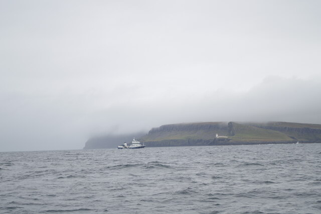
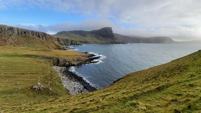
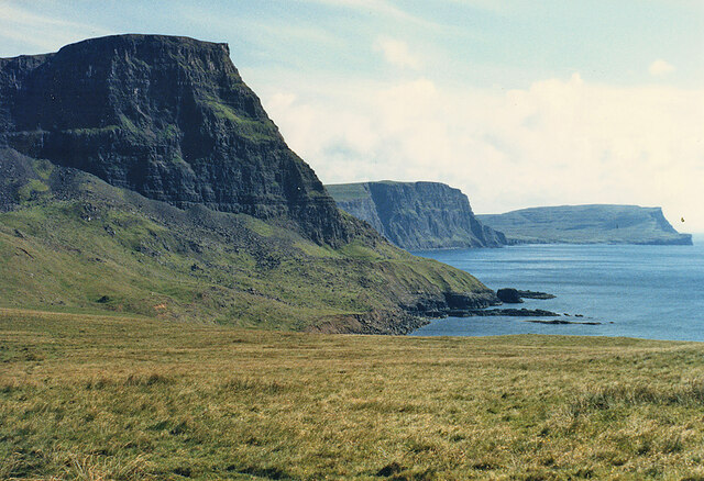
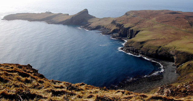
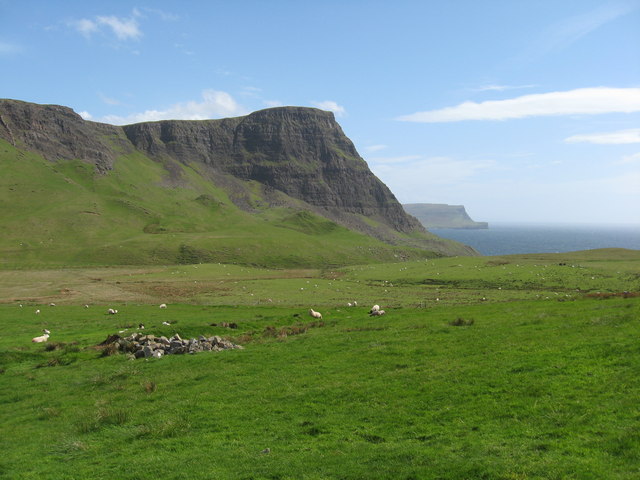
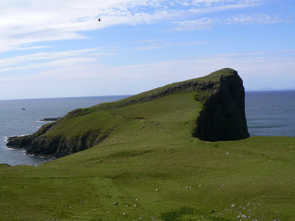
An t-Aigeach is a prominent coastal feature located in Inverness-shire, Scotland. It is a headland that juts out into the Atlantic Ocean, forming a point that offers stunning views and rugged beauty.
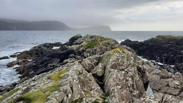
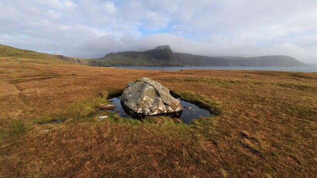
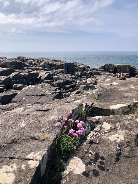
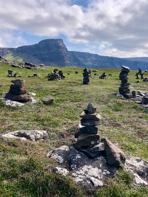
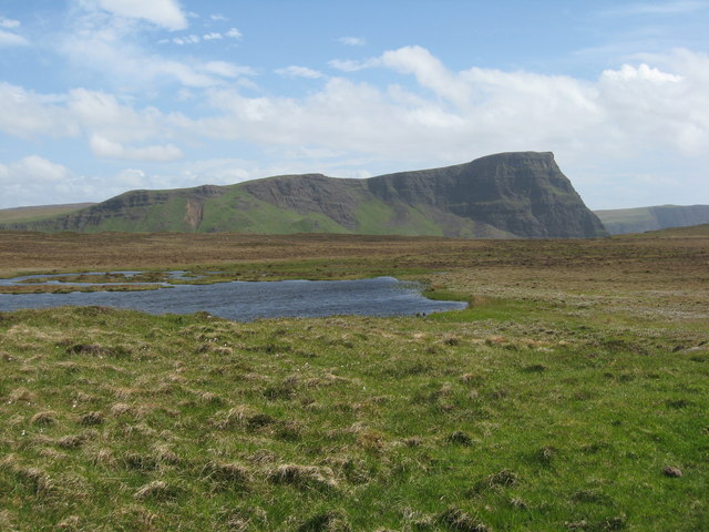
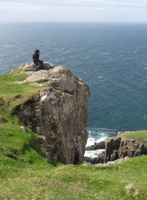
The rugged cliffs of An t-Aigeach are composed of ancient rock formations, showcasing a variety of geological features. The headland is characterized by its steep slopes, which provide a dramatic backdrop against the crashing waves below. The cliffs are often covered in a lush carpet of green vegetation, adding to the picturesque landscape.
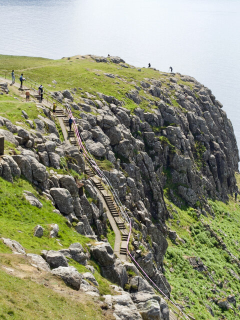
The point of An t-Aigeach is a popular destination for nature enthusiasts and hikers, who are drawn to its scenic beauty and the opportunity to explore the surrounding coastal areas. The headland offers breathtaking panoramic views of the ocean, with the distant horizon stretching as far as the eye can see. On clear days, visitors can even catch a glimpse of nearby islands dotting the horizon.
The coastal area around An t-Aigeach is also known for its diverse wildlife. Seabirds, such as gannets and puffins, can often be seen soaring above the cliffs, while seals and dolphins occasionally make appearances in the waters below. The headland serves as an important habitat for various plant and animal species, contributing to the area's ecological significance.
Overall, An t-Aigeach is a captivating coastal feature that showcases the rugged beauty of Inverness-shire. With its stunning cliffs, panoramic views, and diverse wildlife, it is a must-visit destination for those seeking to immerse themselves in Scotland's natural wonders.
If you have any feedback on the listing, please let us know in the comments section below.
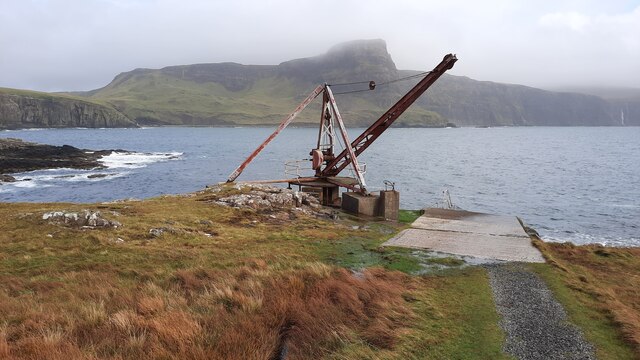
An t-Aigeach Images
Images are sourced within 2km of 57.426201/-6.7836914 or Grid Reference NG1247. Thanks to Geograph Open Source API. All images are credited.
An t-Aigeach is located at Grid Ref: NG1247 (Lat: 57.426201, Lng: -6.7836914)
Unitary Authority: Highland
Police Authority: Highlands and Islands
What 3 Words
///escalated.dreaming.estimate. Near Glendale, Highland
Nearby Locations
Related Wikis
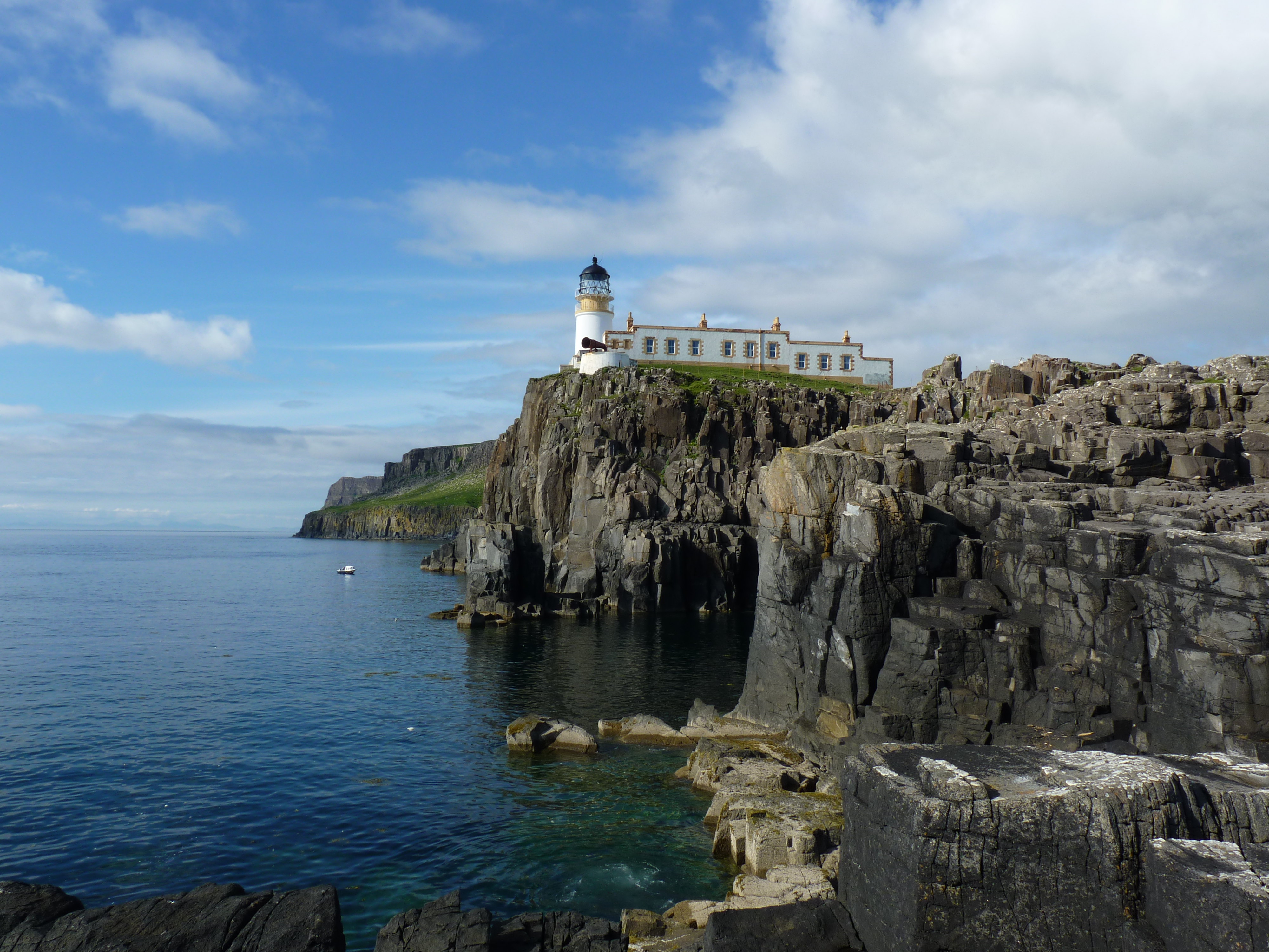
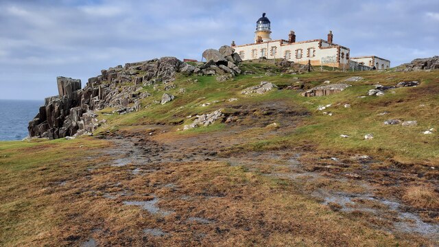
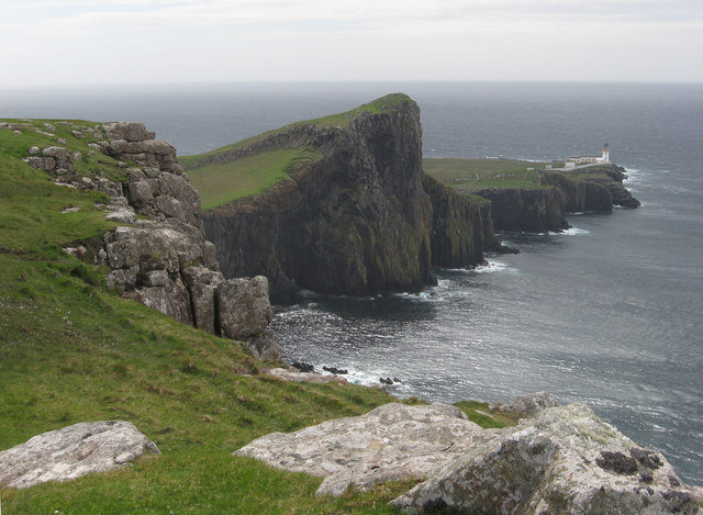
Neist Point Lighthouse
Neist Point Lighthouse is a lighthouse located on Neist Point on the Isle of Skye in Scotland. It was designed by David Alan Stevenson and was first lit...
Neist Point
Neist Point (Scottish Gaelic: Rubha na h-Eist) is a viewpoint on the most westerly point of Skye. Neist Point Lighthouse has been located there since...

Borrodale
Borrodale (Scottish Gaelic: Borodail) is small hamlet on the Isle of Skye, in the Inner Hebrides of Scotland. Borrodale is part of Glendale and the Glendale...
Milovaig
Milovaig (Scottish Gaelic: Mìolabhaig), comprises two small scattered, mixed crofting and residential townships, consisting of Lower Milovaig to the North...
Nearby Amenities
Located within 500m of 57.426201,-6.7836914Have you been to An t-Aigeach?
Leave your review of An t-Aigeach below (or comments, questions and feedback).