Geo
Coastal Feature, Headland, Point in Inverness-shire
Scotland
Geo

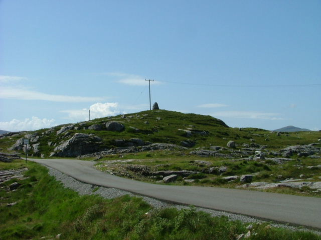
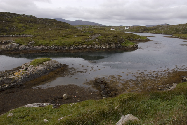
Geo is a picturesque coastal feature located in Inverness-shire, Scotland. It is a prominent headland that juts out into the sea, forming a distinct point along the rugged coastline. With its stunning natural beauty and unique geological formations, Geo attracts tourists and nature enthusiasts from around the world.
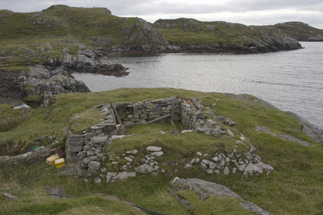
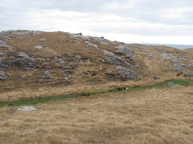
The headland is characterized by its steep cliffs that rise dramatically from the sea, offering breathtaking panoramic views of the surrounding landscape. These cliffs are composed of a variety of rock types, including sandstone and limestone, which have been shaped over millennia by the relentless forces of erosion.
One of the most notable features of Geo is its sea stacks, towering rock formations that have been separated from the mainland by the relentless pounding of waves. These sea stacks provide a nesting habitat for a variety of seabirds, including puffins, gannets, and guillemots, making it a haven for birdwatchers.
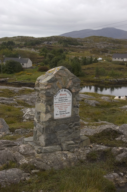
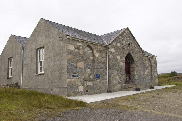
In addition to its geological and ecological significance, Geo also holds cultural importance. It has been a site of human activity for centuries, with evidence of ancient settlements and structures dating back to prehistoric times. This rich history adds to the allure of the area, attracting archaeologists and history enthusiasts.
The rugged beauty of Geo, combined with its diverse flora and fauna, make it a popular destination for hiking, wildlife spotting, and photography. Visitors can explore the headland by following well-maintained trails that wind through the cliffs, providing access to stunning viewpoints and hidden coves.
Overall, Geo in Inverness-shire is a captivating coastal feature that offers a unique blend of natural beauty, geological wonders, and cultural heritage. It serves as a reminder of the powerful forces that have shaped our planet and continues to inspire and amaze all who visit.
If you have any feedback on the listing, please let us know in the comments section below.
Geo Images
Images are sourced within 2km of 57.807895/-6.8569994 or Grid Reference NG1190. Thanks to Geograph Open Source API. All images are credited.


Geo is located at Grid Ref: NG1190 (Lat: 57.807895, Lng: -6.8569994)
Unitary Authority: Na h-Eileanan an Iar
Police Authority: Highlands and Islands
What 3 Words
///negotiators.overnight.avocado. Near Leverburgh, Na h-Eileanan Siar
Nearby Locations
Related Wikis

Stockinish Island
Stockinish Island (Scottish Gaelic: Eilean Stocainis) is an uninhabited island off Harris, in the Outer Hebrides. == Geography and geology == Stockinish...

Borsham
Borsham (Scottish Gaelic: Boirseam) is a village in the 'Bays' area of Harris in the Outer Hebrides, Scotland. Borsham is within the parish of Harris....

Lingarabay
Lingarabay (also Lingerabay or Lingerbay; Scottish Gaelic: Lingreabhagh) is a small coastal settlement on Harris, in the Outer Hebrides of Scotland. It...
Harris Superquarry
The Harris Super Quarry was a super quarry at Lingerbay, Harris, Scotland proposed by Redland Aggregates in 1991. The plan was to surface mine aggregate...

Roineabhal
Roineabhal is a hill in Harris, in the Western Isles of Scotland. The granite on the summit plateau of the mountain is anorthosite, and is similar in composition...

East Loch Tarbert
East Loch Tarbert (Scottish Gaelic: Loch an Tairbeairt) is a sea loch that lies to the east of Harris in the Outer Hebrides of Scotland. The loch contains...

Borve, Harris
Borve (Scottish Gaelic: Na Buirgh) is a village in Harris in the Outer Hebrides, Scotland. Borve is also within the parish of Harris, and is on the A859...

St Clement's Church, Rodel
St Clement's Church (Scottish Gaelic: Tùr Chliamhainn, meaning Clement's Tower) is a late fifteenth-century or early sixteenth-century church in Rodel...
Nearby Amenities
Located within 500m of 57.807895,-6.8569994Have you been to Geo?
Leave your review of Geo below (or comments, questions and feedback).