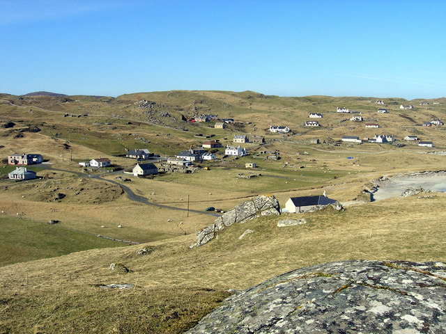
Urnachean
Coastal Feature, Headland, Point in Ross-shire
Scotland
Urnachean
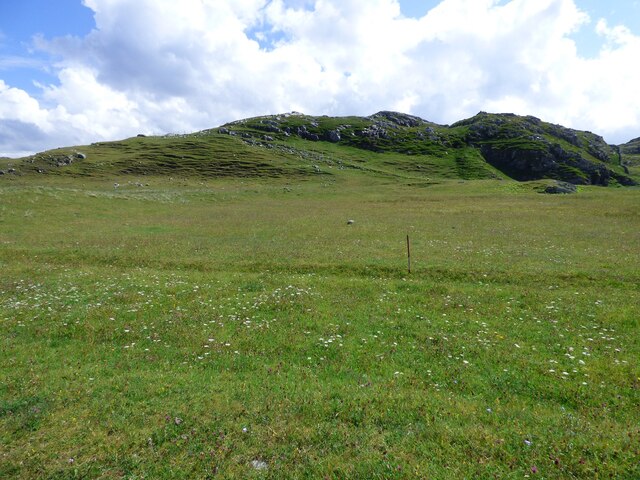
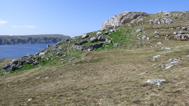
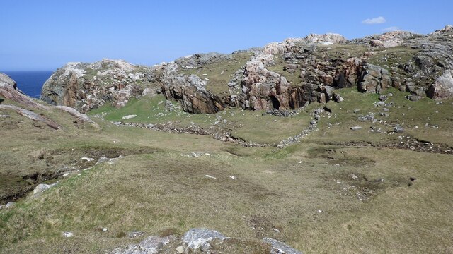
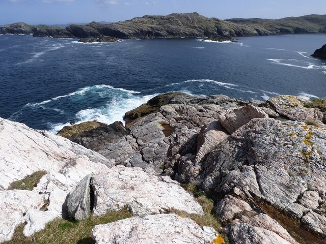
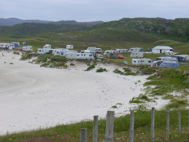
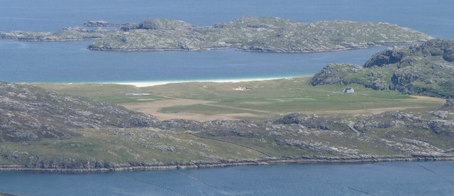
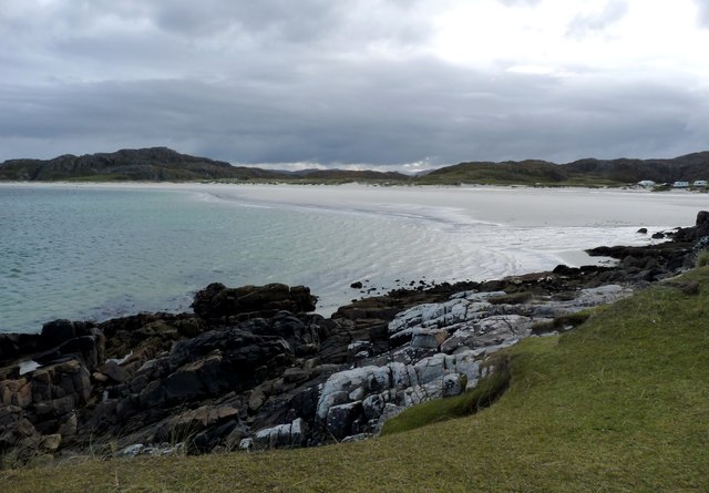
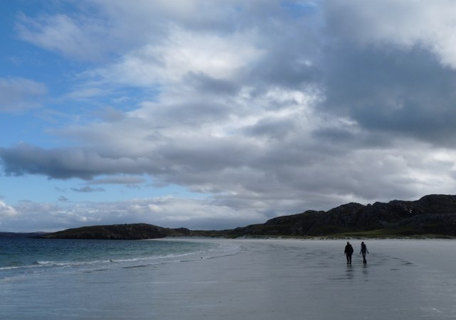
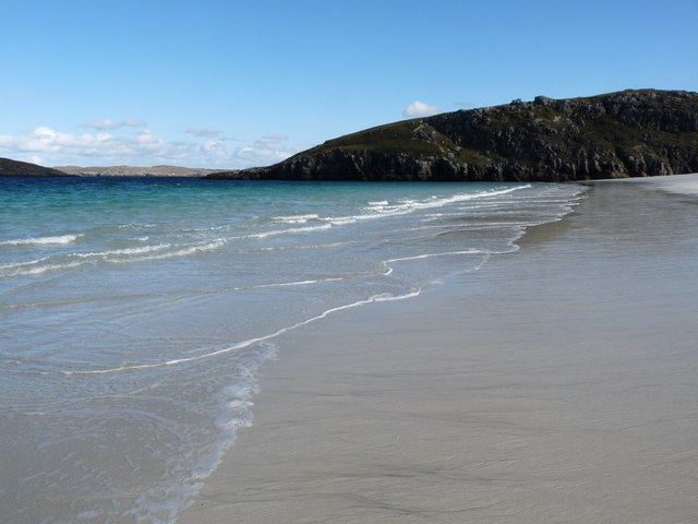
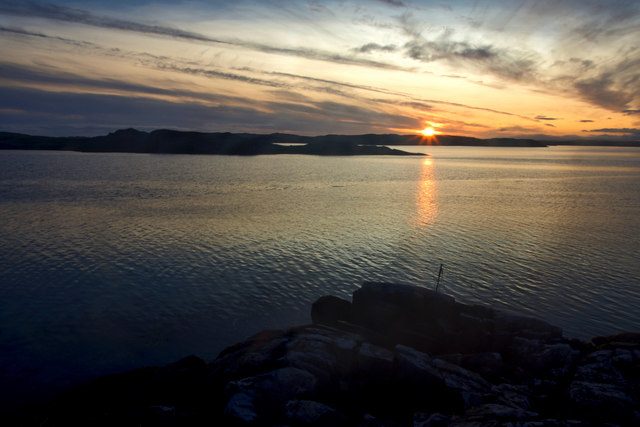
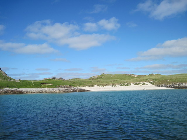
Urnachean is a coastal feature located in Ross-shire, Scotland. It is a prominent headland that juts out into the North Sea, forming a distinct point along the coastline. The headland is characterized by its rugged cliffs, which rise steeply from the sea, offering breathtaking views of the surrounding area.
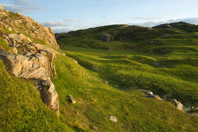
Urnachean is known for its dramatic natural beauty and is a popular destination for nature enthusiasts and hikers. The headland is adorned with an abundance of flora and fauna, including various species of seabirds, wildflowers, and grasses. It is not uncommon to spot seabird colonies nesting on the cliffs, adding to the area's charm.
The coastal path that runs along Urnachean provides an opportunity for visitors to explore the headland and enjoy the stunning vistas it offers. The path offers a variety of terrains, from easy strolls to more challenging hikes, catering to different levels of fitness and experience.
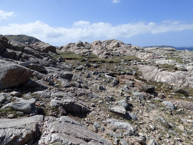
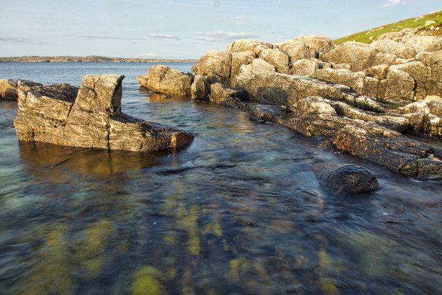
The rocky coastline surrounding Urnachean is dotted with small caves and inlets, providing a habitat for marine life. It is not unusual to spot seals basking on the rocks or dolphins swimming in the waters below.
Urnachean is also steeped in history, with archaeological evidence suggesting human occupation of the area dating back thousands of years. The headland has witnessed the passage of time and the changing tides of history, making it a fascinating location for those interested in the past.
Overall, Urnachean is a captivating coastal feature that showcases the rugged beauty of the Scottish coastline. Its breathtaking views, diverse wildlife, and rich history make it a must-visit destination for nature lovers and history enthusiasts alike.
If you have any feedback on the listing, please let us know in the comments section below.
Urnachean Images
Images are sourced within 2km of 58.224978/-6.9370217 or Grid Reference NB1036. Thanks to Geograph Open Source API. All images are credited.
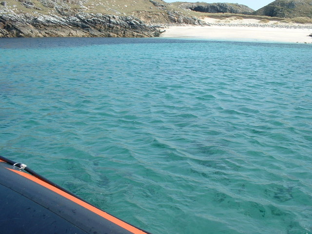
Urnachean is located at Grid Ref: NB1036 (Lat: 58.224978, Lng: -6.9370217)
Unitary Authority: Na h-Eileanan an Iar
Police Authority: Highlands and Islands
What 3 Words
///comforted.potato.boots. Near Carloway, Na h-Eileanan Siar
Nearby Locations
Related Wikis
Kneep
Kneep (Scottish Gaelic: Cnìp) is a village on the Isle of Lewis, in the Outer Hebrides, Scotland. Kneep is within the parish of Uig.Various archaeological...
Pabaigh Mòr
Pabay Mòr or Pabaigh Mòr is an uninhabited island in the Outer Hebrides of Scotland. == History == The island's name comes from papey, an Old Norse name...
Vacsay
Vacsay (Scottish Gaelic: Bhacsaigh from Old Norse "bakkiey" meaning "peat bank island") is one of the Outer Hebrides. It is off the west coast of Lewis...
Loch na Berie
Loch Na Berie is a broch in the Outer Hebrides of Scotland, located approximately 400 yards from the shore, and is thought to have been located on an island...
Have you been to Urnachean?
Leave your review of Urnachean below (or comments, questions and feedback).
