Culaobh Beag
Coastal Feature, Headland, Point in Argyllshire
Scotland
Culaobh Beag
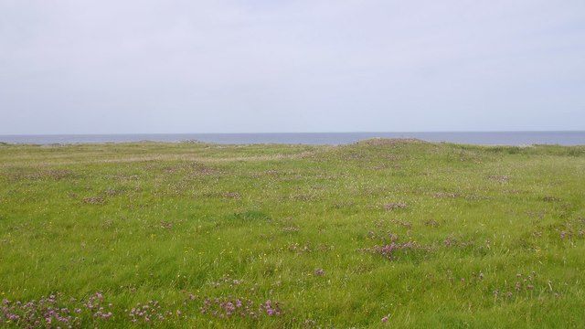
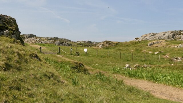
Culaobh Beag is a prominent coastal feature located in Argyllshire, Scotland. It is a headland or point that juts out into the sea, offering breathtaking views of the surrounding landscape. Situated on the west coast of Scotland, Culaobh Beag is known for its rugged cliffs, rocky shores, and stunning natural beauty.
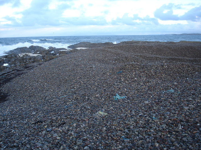
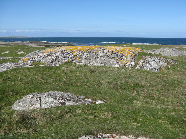
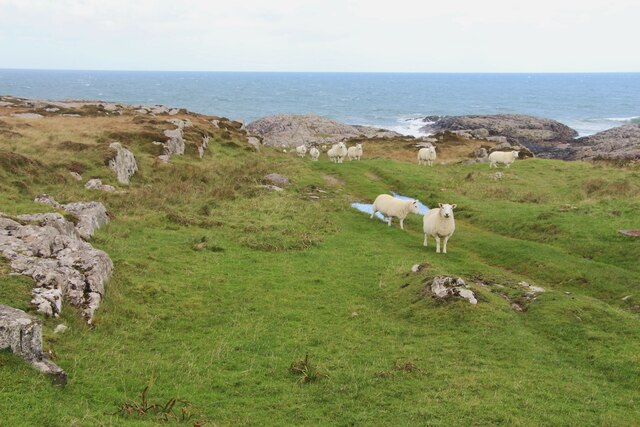
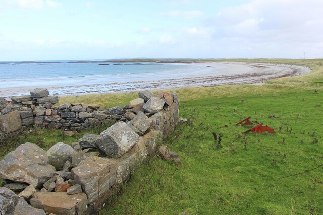
The headland is characterized by its distinctive shape, with steep cliffs that descend into the Atlantic Ocean below. The cliffs are composed of ancient rock formations, providing a glimpse into the geological history of the area. At high tide, the crashing waves against the cliffs create a dramatic spectacle, while at low tide, small coves and rock pools are exposed, revealing a diverse array of marine life.
Culaobh Beag is also a haven for birdwatchers, as it attracts a variety of seabirds, including gannets, puffins, and guillemots. The headland provides an ideal nesting site for these birds, with its sheer cliffs offering protection from predators. It is a designated Special Protection Area, ensuring the conservation and preservation of these avian species.
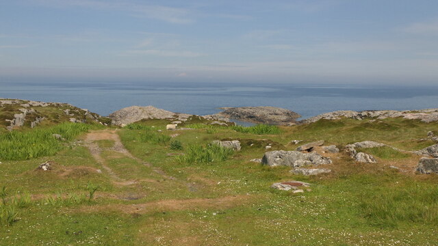
Visitors to Culaobh Beag can enjoy coastal walks along the headland, immersing themselves in the stunning natural surroundings. The headland offers panoramic views of the sea, nearby islands, and the surrounding rugged coastline. It is a popular spot for photographers, nature enthusiasts, and those seeking tranquility and solace in the midst of nature.
Overall, Culaobh Beag is a remarkable coastal feature that showcases the wild and untamed beauty of Argyllshire, providing a memorable experience for all who visit.
If you have any feedback on the listing, please let us know in the comments section below.
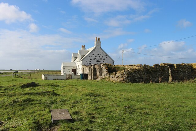
Culaobh Beag Images
Images are sourced within 2km of 56.54217/-6.778837 or Grid Reference NM0649. Thanks to Geograph Open Source API. All images are credited.


Culaobh Beag is located at Grid Ref: NM0649 (Lat: 56.54217, Lng: -6.778837)
Unitary Authority: Argyll and Bute
Police Authority: Argyll and West Dunbartonshire
What 3 Words
///rejoined.asleep.torches. Near Scarinish, Argyll & Bute
Nearby Locations
Related Wikis

Dun Mor Vaul
Dun Mor Vaul (or simply Dun Mor; Scottish Gaelic: Dùn Mòr) is an iron-age broch located on the north coast of the island of Tiree, in Scotland. ��2�...

Tiree
Tiree (; Scottish Gaelic: Tiriodh, pronounced [ˈtʲʰiɾʲəɣ]) is the most westerly island in the Inner Hebrides of Scotland. The low-lying island, southwest...

Gunna, Scotland
Gunna (Gaelic: Gunnaigh) is an island in the Inner Hebrides of Scotland. == Geography and geology == Gunna lies between Coll and Tiree, closer to Coll...

Scarinish
Scarinish (Scottish Gaelic: Sgairinis [ˈs̪kaɾʲɪnɪʃ]) is the main village on the island of Tiree, in the Inner Hebrides of Scotland. It is located on the...

Tiree Airport
Tiree Airport (Scottish Gaelic: Port-adhair Thiriodh) (IATA: TRE, ICAO: EGPU) is located 2.5 nautical miles (4.6 km; 2.9 mi) north northeast of Balemartine...
Tiree Music Festival
Tiree Music Festival is a Scottish folk music festival held annually on the Island of Tiree in the Inner Hebrides. The festival was founded in 2010 by...
Nearby Amenities
Located within 500m of 56.54217,-6.778837Have you been to Culaobh Beag?
Leave your review of Culaobh Beag below (or comments, questions and feedback).