Cleit Lamadale
Coastal Feature, Headland, Point in Ross-shire
Scotland
Cleit Lamadale
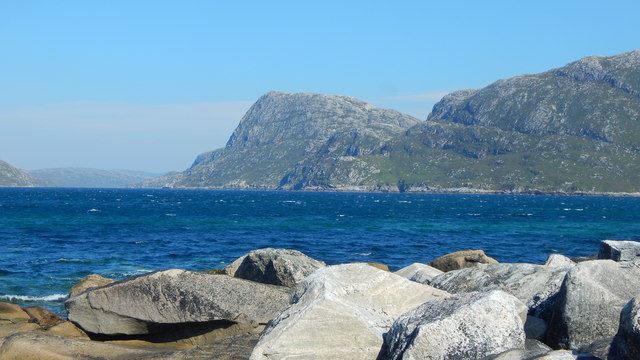
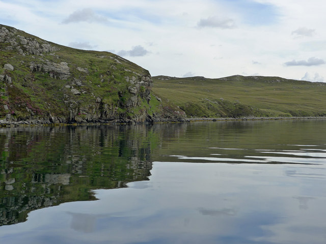
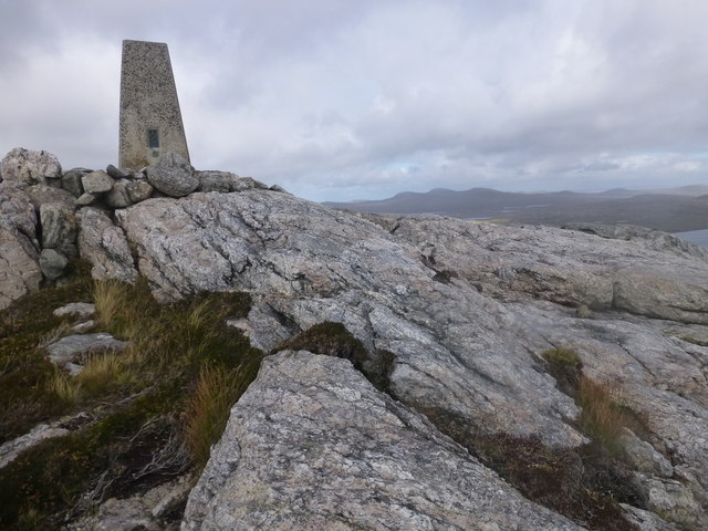
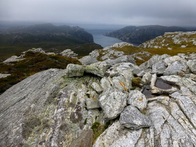
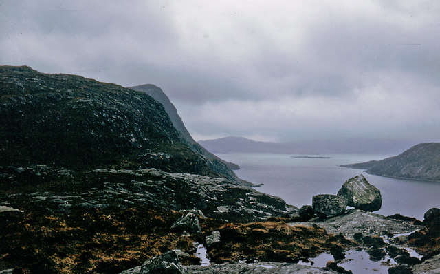
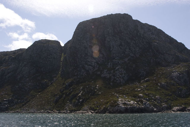
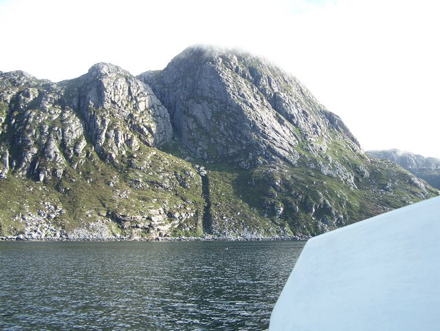
Cleit Lamadale is a prominent coastal feature located in Ross-shire, Scotland. It is a headland that juts out into the sea, forming a distinct point along the coastline. With its breathtaking views and rugged landscape, it has become a popular destination for nature enthusiasts and outdoor adventurers.
The headland is characterized by its steep cliffs, which rise dramatically from the crashing waves below. These cliffs are composed of weathered sandstone and are home to a variety of seabirds, including puffins, guillemots, and gulls. The surrounding waters are also teeming with marine life, making it a prime spot for fishing and wildlife watching.
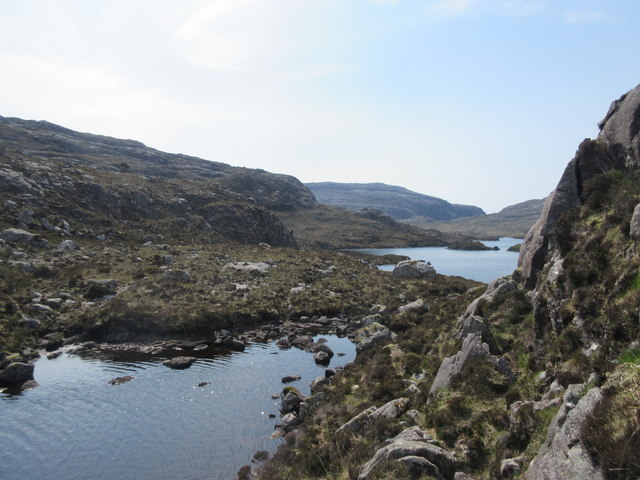
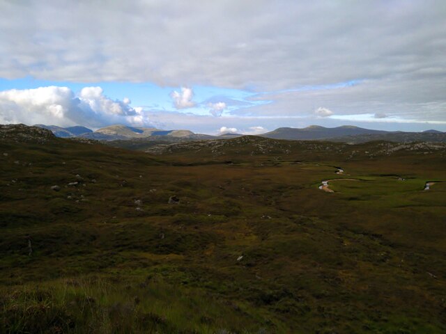
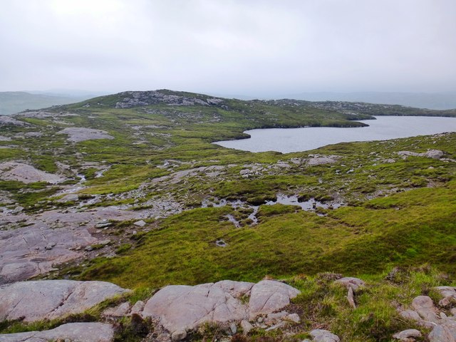
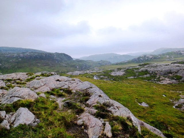
Cleit Lamadale is known for its diverse flora and fauna. The headland is covered in a patchwork of heather, grasses, and wildflowers, providing a vibrant splash of color against the rugged coastal backdrop. The area is also home to several rare plant species, adding to its ecological significance.
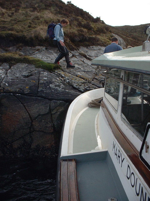
Visitors to Cleit Lamadale can enjoy a range of outdoor activities. Hiking trails meander along the cliff tops, offering stunning panoramic views of the sea and surrounding countryside. The headland is also a popular spot for rock climbing, with its challenging cliffs attracting climbers from near and far.
In addition to its natural beauty, Cleit Lamadale has a rich history. Ruins of ancient settlements and defensive structures can be found scattered along the headland, providing a glimpse into the area's past. Overall, Cleit Lamadale is a captivating coastal feature that offers a unique blend of natural wonder and cultural heritage.
If you have any feedback on the listing, please let us know in the comments section below.
Cleit Lamadale Images
Images are sourced within 2km of 58.041897/-7.0067654 or Grid Reference NB0416. Thanks to Geograph Open Source API. All images are credited.


Cleit Lamadale is located at Grid Ref: NB0416 (Lat: 58.041897, Lng: -7.0067654)
Unitary Authority: Na h-Eileanan an Iar
Police Authority: Highlands and Islands
What 3 Words
///blankets.modifies.shin. Near Tarbert, Na h-Eileanan Siar
Nearby Locations
Related Wikis

Uladail
Uladail is a location near Amhuinnsuidhe, on Harris in the Outer Hebrides, Scotland. Sron Ulladail is a sheer cliff which at 370 metres (1,210 ft) is one...

Tiorga Mor
Tiorga Mor (679 m) is a mountain in Harris, in the Outer Hebrides of Scotland. The most westerly peak of the high mountains of Harris, it is a very rugged...

Scarp, Scotland
Scarp (Scottish Gaelic: An Sgarp) is an uninhabited island in the Outer Hebrides of Scotland, west of Hushinish on Harris. Once inhabited, the island was...

Hushinish
Huisinish or Hushinish (Scottish Gaelic Hùisinis) is a remote place on the west coast of Harris in the Outer Hebrides of Scotland. It lies at the end of...

Oireabhal
Oireabhal (662 m) is a mountain in Harris, in the Outer Hebrides of Scotland. The peak is the highest point on a complex ridge that runs from north to...

Chliostair Hydro-Electric Scheme
Chliostair Hydro-Electric Scheme is a small scheme promoted by the North of Scotland Hydro-Electric Board on Harris, Outer Hebrides. It consists of a single...

Amhuinnsuidhe
Amhuinnsuidhe (Scottish Gaelic: Abhainn Suidhe) is a settlement on Harris, in the Outer Hebrides, Scotland. The settlement is also within the parish of...

Eilean Mhealasta
Eilean Mhealasta (Mealista Island) is an uninhabited island off the west coast of Lewis in the Outer Hebrides of Scotland. It takes its name from Mealista...
Have you been to Cleit Lamadale?
Leave your review of Cleit Lamadale below (or comments, questions and feedback).