Lletty-Gwilym

Settlement in Montgomeryshire

Wales

Lletty-Gwilym

Farmland on the north side of Llanllugan Looking westwards from the church car park.
Farmland on the north side of Llanllugan Credit: Christine Johnstone

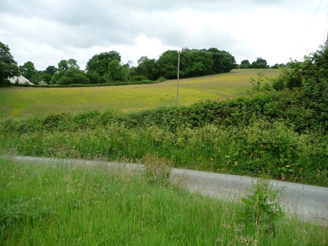
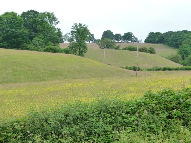
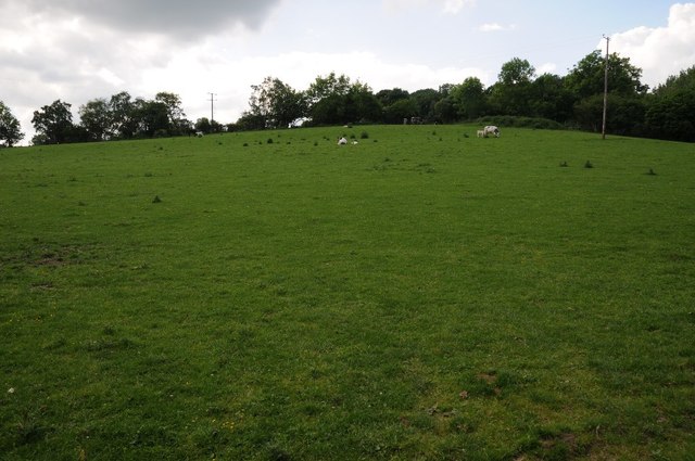
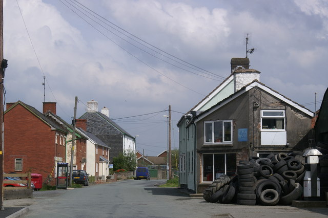
Lletty-Gwilym is a small rural village located in the county of Montgomeryshire, Wales. Situated in the picturesque countryside, it is known for its idyllic surroundings and peaceful atmosphere. The village is nestled amidst rolling hills and lush green fields, offering breathtaking views of the surrounding landscape.

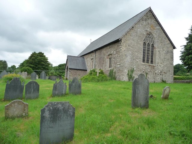
Lletty-Gwilym is a close-knit community with a small population. The village consists of a cluster of traditional stone houses, many of which date back several centuries, giving it a charming and historic feel. The architecture reflects the rich heritage of the area, with its distinctive Welsh style.

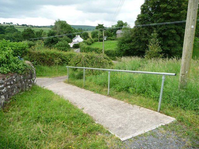
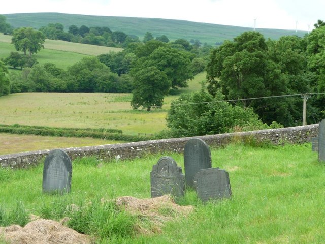
The village is surrounded by natural beauty, with numerous walking trails and nature reserves in the vicinity. It is a haven for outdoor enthusiasts, offering opportunities for hiking, cycling, and wildlife spotting. The nearby River Severn adds to the scenic beauty of the area, providing opportunities for fishing and boating.

Although small, Lletty-Gwilym has a strong sense of community spirit. The villagers take pride in their local traditions and often come together for events and celebrations. The village also has a community center, which serves as a gathering place for various activities and social events.

Despite its rural location, Lletty-Gwilym is conveniently located near larger towns and cities. The town of Newtown is just a short drive away, offering amenities such as shops, restaurants, and healthcare services.

Overall, Lletty-Gwilym is a quintessential Welsh village, offering a tranquil and picturesque setting for those seeking a peaceful retreat in the heart of the countryside.

If you have any feedback on the listing, please let us know in the comments section below.

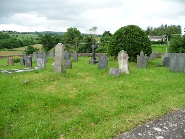
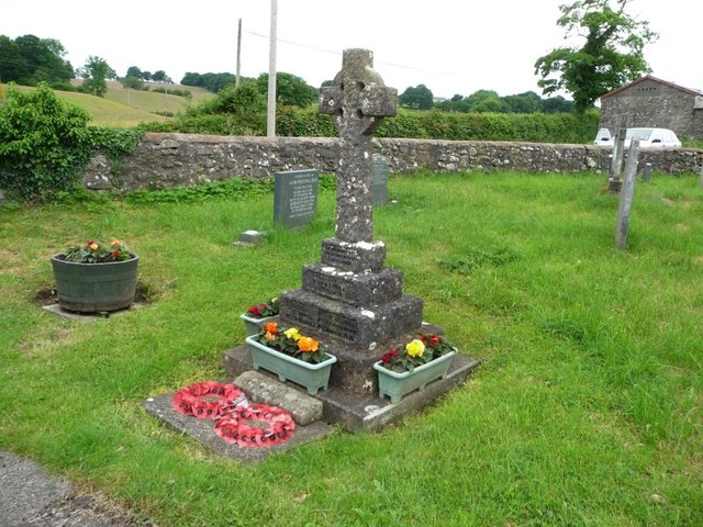
Lletty-Gwilym Images

Images are sourced within 2km of 52.619716/-3.406226 or Grid Reference SJ0403. Thanks to Geograph Open Source API. All images are credited.

Farmland on the north side of Llanllugan Looking westwards from the church car park.
Farmland on the north side of Llanllugan
Looking westwards from the church car park.
Path down from the churchyard, Llanllugan Leading towards the crossroads at the western end of the village.
Path down from the churchyard, Llanllugan
Leading towards the crossroads at the western end of the village.
St Mary's Church, Llanllugan, form the south-east Built in the late 1300s or 1400s.
St Mary's Church, Llanllugan, form the south-east
Built in the late 1300s or 1400s.
Churchyard retaining wall, St Mary's, Llanllugan Several Montgomeryshire churches are set within raised, partly-circular churchyards, apparently indicating early medieval origins.
Churchyard retaining wall, St Mary's, Llanllugan
Several Montgomeryshire churches are set within raised, partly-circular churchyards, apparently indicating early medieval origins.
South-eastern corner, St Mary's churchyard Fewer of the modern headstones are made of slate.
South-eastern corner, St Mary's churchyard
Fewer of the modern headstones are made of slate.
War memorial, Llanllugan churchyard Commemorating the six villagers who died in the Great War 1914 -1919.
War memorial, Llanllugan churchyard
Commemorating the six villagers who died in the Great War 1914 -1919.
Golden fields, Llanllugan A folded landscape on the north side of the village.
Golden fields, Llanllugan
A folded landscape on the north side of the village.
Field near Glan-yr-afon Field near Glan-yr-afon, south-west of Llanllugan.
Field near Glan-yr-afon
Field near Glan-yr-afon, south-west of Llanllugan.
Rhiw valley The Rhiw valley near Llanllugan.
Rhiw valley
The Rhiw valley near Llanllugan.
Field headland track Field headland track in Rhiw valley near Llanllugan.
Field headland track
Field headland track in Rhiw valley near Llanllugan.
Llanllugan church St Mary's church in Llanllugan stands in the valley above Afon Rhiw.  Rather than a bellcot the bell is shelter under a projection of the main roof.
Llanllugan church
St Mary's church in Llanllugan stands in the valley above Afon Rhiw. Rather than a bellcot the bell is shelter under a projection of the main roof.
Interior of Llanllugan church View along the nave of St Mary's church, Llanllugan.
Interior of Llanllugan church
View along the nave of St Mary's church, Llanllugan.
Llanllugan war memorial A Great War (WWI) war memorial in the churchyard of St Mary's church, Llanllugan.  The names on the war memorial are: Lt. C. Beck, Pte. D Jones, Whl. D. Watkin, Pte. R. Davies, Pte. J. Pritchard, P Bowen RN.

In the last two years the warmemorial has been cleaned and restored, in 2016 it appeared very different <a href="https://www.geograph.org.uk/photo/5020900">SJ0502 : War memorial, Llanllugan churchyard</a>.
Llanllugan war memorial
A Great War (WWI) war memorial in the churchyard of St Mary's church, Llanllugan. The names on the war memorial are: Lt. C. Beck, Pte. D Jones, Whl. D. Watkin, Pte. R. Davies, Pte. J. Pritchard, P Bowen RN. In the last two years the warmemorial has been cleaned and restored, in 2016 it appeared very different SJ0502 : War memorial, Llanllugan churchyard.
View to Llanllugan church View across a meadow in the Rhiw valley to Llanllugan church.
View to Llanllugan church
View across a meadow in the Rhiw valley to Llanllugan church.
Cow parsley in a roadside verge Cow parsley in a roadside verge at Llanllugan.
Cow parsley in a roadside verge
Cow parsley in a roadside verge at Llanllugan.
Farmland in the Rhiw valley Fields in the Rhiw valley to the east of Llanllugan.
Farmland in the Rhiw valley
Fields in the Rhiw valley to the east of Llanllugan.
Track onto field behind Frongoch Hall Another little used public footpath. Judging by the state of the paths nobody much walks around Cefn Coch.  Shame because there's some gorgeous countryside to be enjoyed.  More from this walk...
Track onto field behind Frongoch Hall
Another little used public footpath. Judging by the state of the paths nobody much walks around Cefn Coch. Shame because there's some gorgeous countryside to be enjoyed. More from this walk...
Small ford near Frongoch Hall Cefn Coch walking.  Our public path was still traversible by this stage.  Hardly a ford, and only just a stream. So let's call it a wet bit on the path.
Small ford near Frongoch Hall
Cefn Coch walking. Our public path was still traversible by this stage. Hardly a ford, and only just a stream. So let's call it a wet bit on the path.
Show me another place!

Lletty-Gwilym is located at Grid Ref: SJ0403 (Lat: 52.619716, Lng: -3.406226)

Unitary Authority: Powys

Police Authority: Dyfed Powys

What 3 Words

///stems.mobile.wiped. Near Llanfair Caereinion, Powys

Nearby Locations

Lletty-Gwilym

Related Wikis

Cefn Coch

Cefn Coch is a small village or hamlet near Llanfair Caereinion in Mid Wales, located at grid reference SJ 0482 0284. In 2012, the village was chosen as...

Llanllugan Abbey

Llanllugan Abbey was a monastery of Cistercian nuns located at Llanllugan, Powys, Wales. It was one of only two Cistercian women's monasteries in Wales...

Adfa, Powys

Adfa is a village in the Welsh county of Powys, in mid Wales. It is in the historic county of Montgomeryshire. == External links == Photos of Adfa and...

Montgomeryshire (Senedd constituency)

Montgomeryshire (Welsh: Sir Drefaldwyn) is a constituency of the Senedd. It elects one Member of the Senedd by the first past the post method of election...

Related Videos

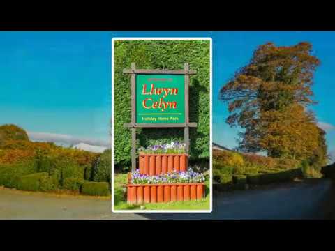
Llwyn Celyn Holiday Home Park - Slide Show

Short video of the static caravan site we are on in Adfa Mid Wales...

#youtube #bestpictures #facebook #reels #stories #trending #viral #albums #comedy #coolpictures

YouTube #shorts #Albums #bestpictures #classicphotos #dolar #economy #facebook #galleries #Holochain #instagram ...

When Children Light A Candle

A Christmas song, with a beautiful lyric, full of Christmas hope and joy. Thanks for watching - please share this song with your ...

Nearby Amenities

Located within 500m of 52.619716,-3.406226
Addr Housename: Cefn Coch Isaf
Building: yes
Lat/Long: 52.6176447/-3.4024902
Place: farm
Lat/Long: 52.616179/-3.4028335
Direction: SE
Generator Method: photovoltaic
Generator Output Electricity: yes
Generator Solar Modules: 10
Generator Source: solar
Generator Type: solar_photovoltaic_panel
Location: roof
Power: generator
Lat/Long: 52.6176556/-3.402594
Cefn Coch
Place: hamlet
Wikidata: Q20590359
Wikipedia: en:Cefn Coch
Lat/Long: 52.6153682/-3.4052211
Addr Housename: Brynteg
Lat/Long: 52.6156966/-3.4088066
The data included in this document is from www.openstreetmap.org. The data is made available under ODbL.

Have you been to Lletty-Gwilym?

Leave your review of Lletty-Gwilym below (or comments, questions and feedback).