Chleiter
Coastal Feature, Headland, Point in Inverness-shire
Scotland
Chleiter
The requested URL returned error: 429 Too Many Requests
If you have any feedback on the listing, please let us know in the comments section below.
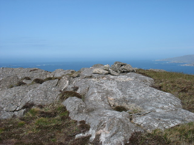
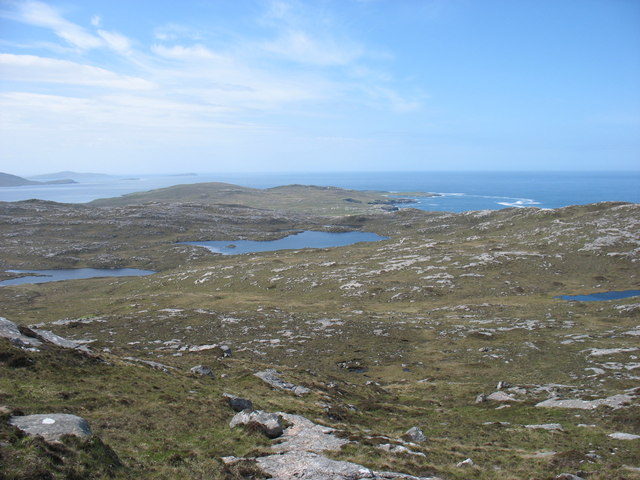
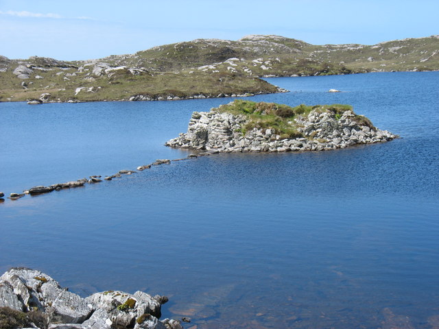
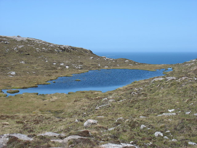
Chleiter Images
Images are sourced within 2km of 57.913367/-7.0304122 or Grid Reference NB0202. Thanks to Geograph Open Source API. All images are credited.
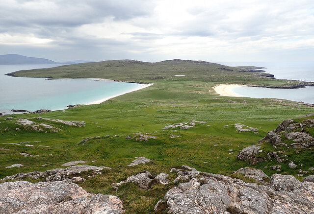
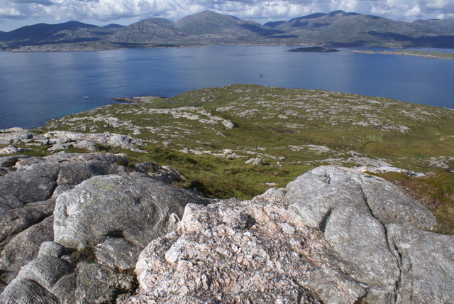
![Ben Raah [Beinn RÃ ] Pabbay, Scarp and Taransay with Sea Harris. Landed to the south and climbed the Marilyn with Martin Richardson, Jim Bloomer, Alex Cameron and Jonathan Whitehead on a lovely afternoon.
Name: Ben Raah [Beinn Rà]
Hill number: 1606
Height: 267m / 876ft
Area: 24B: Harris and Nearby Islands
Class: Ma,2
Grid ref: NB 03438 01900
Summit feature: small pile of stones 35m E of trig point
Drop: 267m
Col: Sea](https://s3.geograph.org.uk/geophotos/03/68/48/3684811_56ded9c9.jpg)
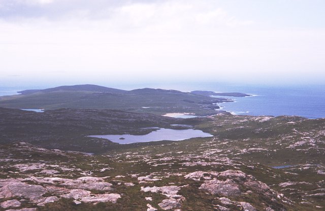
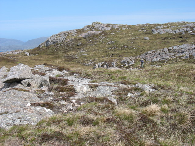
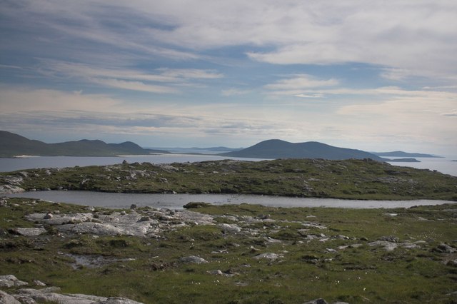
![View Towards A Distant Ceapabhal A view towards a distance Ceapabhal on South Harris from the lower slopes of Ben Raah [Beinn Rà]. Loch an Dùin and Loch Sionadail are seen on Taransay.](https://s1.geograph.org.uk/geophotos/03/68/54/3685497_3605f17b.jpg)
Chleiter is located at Grid Ref: NB0202 (Lat: 57.913367, Lng: -7.0304122)
Unitary Authority: Na h-Eileanan an Iar
Police Authority: Highlands and Islands
What 3 Words
///verbs.harvest.gymnasium. Near Tarbert, Na h-Eileanan Siar
Nearby Locations
Related Wikis

Taransay
Taransay (Scottish Gaelic: Tarasaigh, pronounced [ˈt̪ʰaɾas̪aj]) is an island in the Outer Hebrides of Scotland. It was the host of the British television...

Soay Beag
Soay Beag (Scottish Gaelic: Sòdhaigh Beag) is a small, uninhabited tidal island in West Loch Tarbert, between the northern and southern parts of Harris...

Soay Mòr
Soay Mòr (Scottish Gaelic: Sòdhaigh Mòr) is an island in West Loch Tarbert, between the northern and southern parts of Harris. The uninhabited island is...

Soay Sound
Soay Sound (Scottish Gaelic: Caolas Shòdhaigh) is a strait separating the islands of Soay Mòr and Soay Beag from the northern part of Harris. The sound...
Nearby Amenities
Located within 500m of 57.913367,-7.0304122Have you been to Chleiter?
Leave your review of Chleiter below (or comments, questions and feedback).