Geodha Dubh a' Ghlas-eilein
Coastal Feature, Headland, Point in Ross-shire
Scotland
Geodha Dubh a' Ghlas-eilein

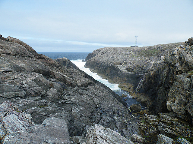
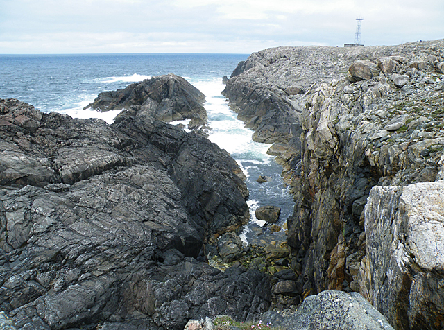
Geodha Dubh a' Ghlas-eilein is a prominent coastal feature located in Ross-shire, Scotland. It is a headland that juts out into the sea, forming a distinct point along the rugged coastline. The name Geodha Dubh a' Ghlas-eilein translates to "Black Bay of the Green Island" in Gaelic, which accurately describes the natural beauty of this area.
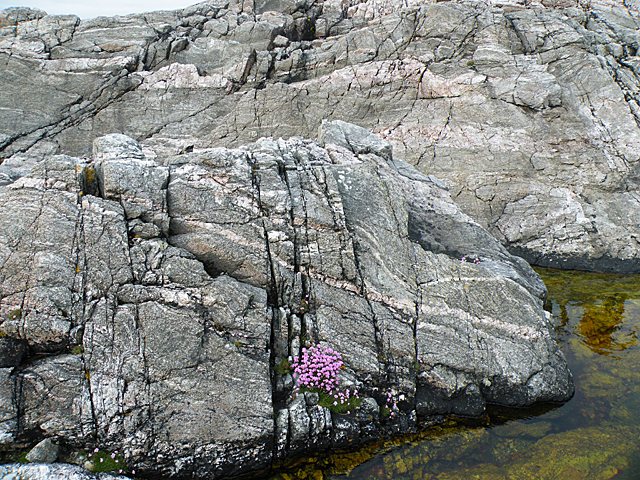
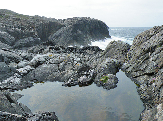
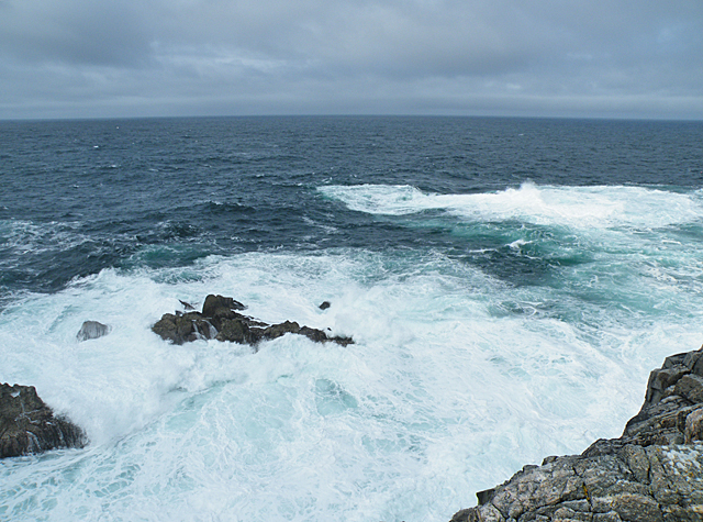
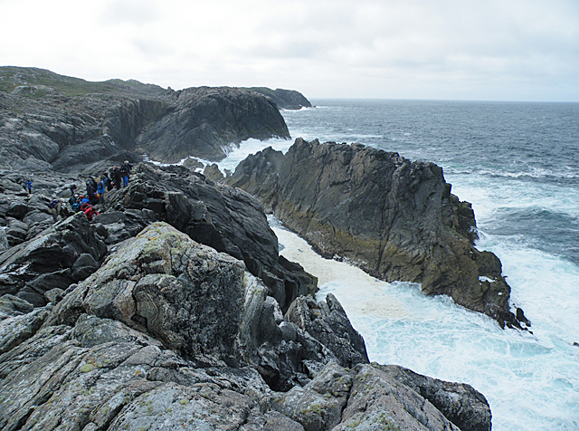
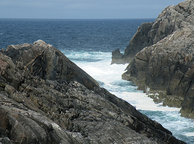
The headland is characterized by its steep cliffs, which rise dramatically from the water below. These cliffs are composed of ancient rock formations, showcasing layers of sedimentary rock that have been shaped by the relentless force of the ocean over millions of years. The dark color of the rocks adds to the dramatic appeal of the landscape.
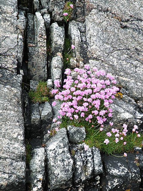
Surrounding the headland is a diverse ecosystem, with an abundance of marine and bird life. Seabirds such as puffins, guillemots, and razorbills can be seen nesting on the sheer cliff faces, while seals can often be spotted basking on the rocky shores. The crystal-clear waters surrounding Geodha Dubh a' Ghlas-eilein support a variety of fish species, making it an attractive spot for anglers.
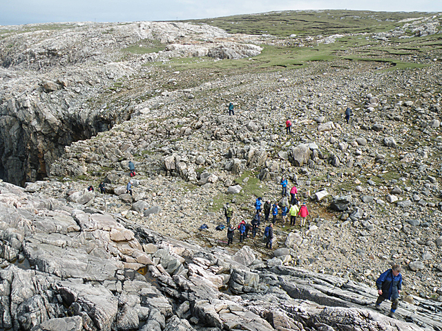
The headland is a popular destination for nature enthusiasts and hikers. A well-maintained coastal trail offers breathtaking views of the surrounding coastline and provides access to hidden coves and secluded beaches. Adventurous visitors can also explore sea caves carved into the cliffs by the relentless waves.
Geodha Dubh a' Ghlas-eilein is not only a picturesque coastal feature but also an important natural habitat, offering a glimpse into the diverse and fragile ecosystems found along the Scottish coast.
If you have any feedback on the listing, please let us know in the comments section below.
Geodha Dubh a' Ghlas-eilein Images
Images are sourced within 2km of 58.187067/-7.0824776 or Grid Reference NB0133. Thanks to Geograph Open Source API. All images are credited.


Geodha Dubh a' Ghlas-eilein is located at Grid Ref: NB0133 (Lat: 58.187067, Lng: -7.0824776)
Unitary Authority: Na h-Eileanan an Iar
Police Authority: Highlands and Islands
What 3 Words
///cloak.sits.stirs. Near Carloway, Na h-Eileanan Siar
Related Wikis

Stac Dhòmhnaill Chaim
Stac Dhòmnuill Chaim, or Stac Dhòmhnaill Chaim, or Stac Domhnuill Chaim, is a fortified promontory located near Mangursta (or Mangersta, Scottish Gaelic...

Abhainn Dearg distillery
Abhainn Dearg distillery ( AV-in JAIRG) or Red River distillery is a Scotch whisky distillery in Uig, on the west coast of the Isle of Lewis in the Outer...

Ardroil
Ardroil (Scottish Gaelic: Eadar Dhà Fhadhail) is a village on the Isle of Lewis in the Outer Hebrides, Scotland. Ardroil is within the parish of Uig....

Uig, Lewis
Uig (Scottish Gaelic: Ùig [uːkʲ]), also known as Sgìr' Ùig, is a civil parish and community in the west of the Isle of Lewis in the Outer Hebrides, Scotland...

Timsgarry
Timsgarry (Scottish Gaelic: Tuimisgearraidh) is a village on the Isle of Lewis, in the Outer Hebrides, Scotland. Timsgarry is home to the Baile na Cille...

Camas Uig
Camas Uig (Uig Bay) is a bay on the west coast of the Isle of Lewis, in the Outer Hebrides of Scotland. The Lewis Chessmen were discovered in the dunes...
Gasker
Gasker is a small uninhabited islet in the Outer Hebrides of Scotland, 8 kilometres (4+1⁄2 nautical miles) southwest of Scarp, off the west coast of Harris...

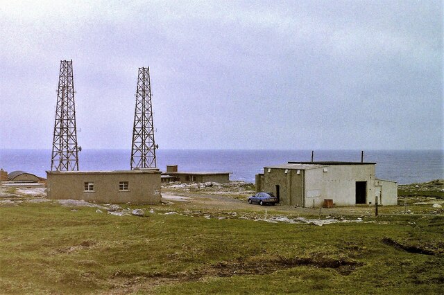
Aird Uig
Aird Uig (Scottish Gaelic: Àird Ùig) is a village on the Isle of Lewis, in the Outer Hebrides, Scotland. Aird Uig is within the parish of Uig, and is situated...
Have you been to Geodha Dubh a' Ghlas-eilein?
Leave your review of Geodha Dubh a' Ghlas-eilein below (or comments, questions and feedback).