Bodha Dubh Iain Mhic Coinnaich

Coastal Feature, Headland, Point in Inverness-shire

Scotland

Bodha Dubh Iain Mhic Coinnaich

Grodhaigh, in the Sound of Harris Fish farming off one of the larger islands in the sound. Seen from the ferry to Berneray.
Grodhaigh, in the Sound of Harris Credit: M J Richardson

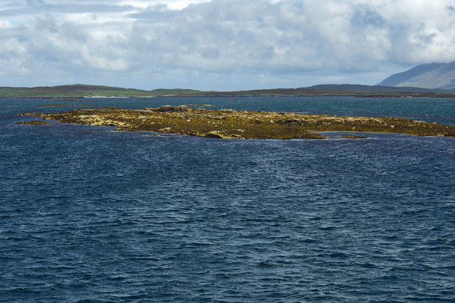
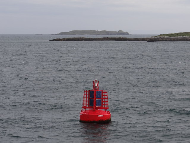
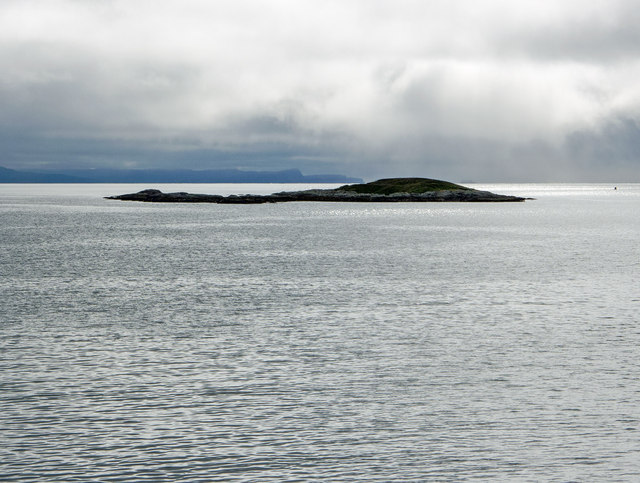
Bodha Dubh Iain Mhic Coinnaich is a prominent coastal feature located in Inverness-shire, Scotland. It is primarily characterized as a headland or a point, jutting out into the sea and offering stunning views of the surrounding landscape.

Situated on the western coast of Scotland, Bodha Dubh Iain Mhic Coinnaich is known for its rugged beauty and dramatic cliffs. The headland is composed of various geological formations, including layers of sedimentary rock and evidence of glacial activity. Its unique geology attracts geologists and nature enthusiasts from around the world.

The headland is also home to a diverse range of flora and fauna. The coastal vegetation consists of grasses, heather, and wildflowers, which provide a habitat for numerous bird species and small mammals. Visitors can often spot seabirds soaring above the cliffs, including gannets, kittiwakes, and puffins.

The area surrounding Bodha Dubh Iain Mhic Coinnaich is rich in history and heritage. Archaeological remains, such as ancient burial cairns and stone circles, can be found nearby, providing a glimpse into the region's past. The headland is also associated with local folklore and legends, adding to its allure.

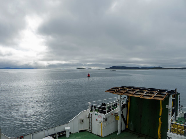
Bodha Dubh Iain Mhic Coinnaich offers a range of recreational activities for visitors. Hiking trails along the headland provide breathtaking views of the sea and the surrounding coastline. Fishing and birdwatching are popular pastimes, as well as simply enjoying the tranquility and natural beauty of the area.

Overall, Bodha Dubh Iain Mhic Coinnaich is a captivating coastal feature that combines stunning natural scenery, rich biodiversity, and a fascinating history, making it a must-visit destination in Inverness-shire.

If you have any feedback on the listing, please let us know in the comments section below.

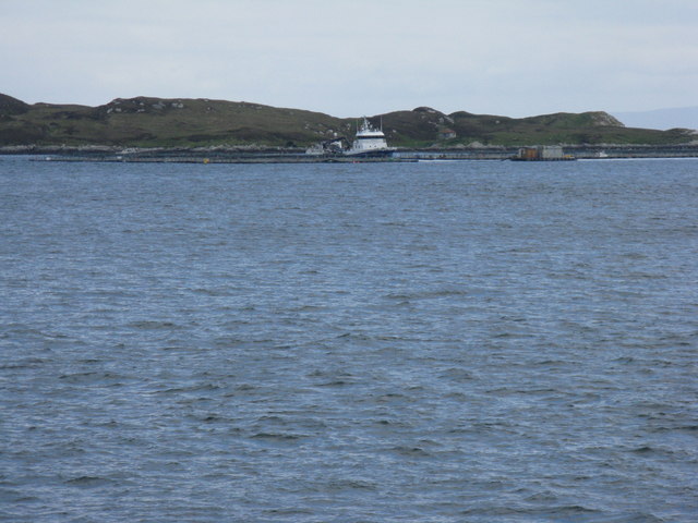
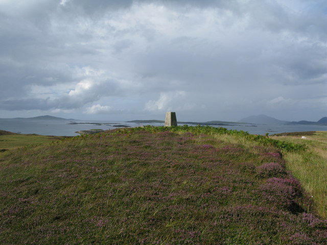
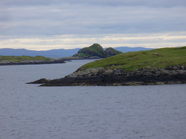
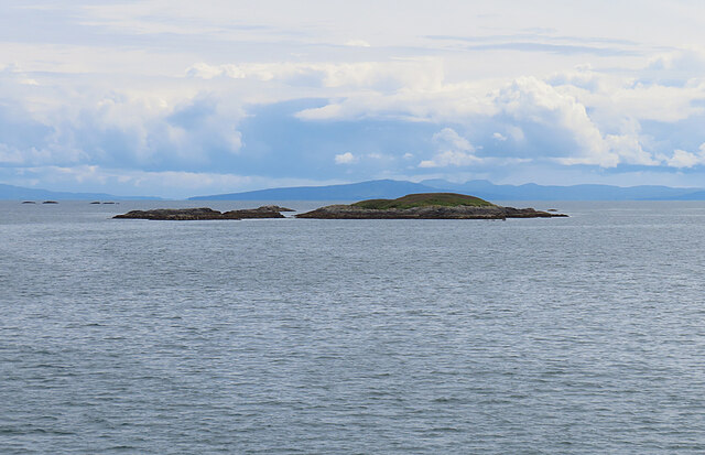
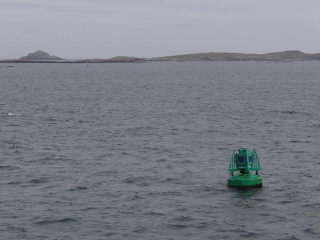
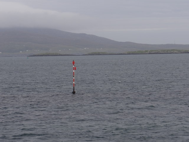
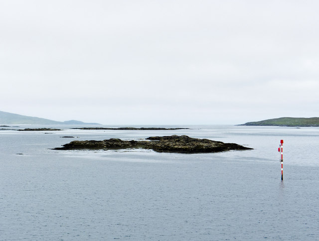
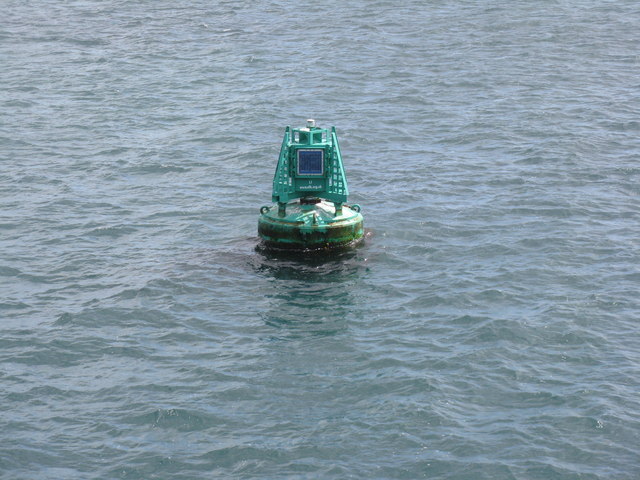
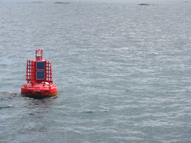
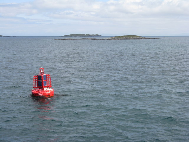
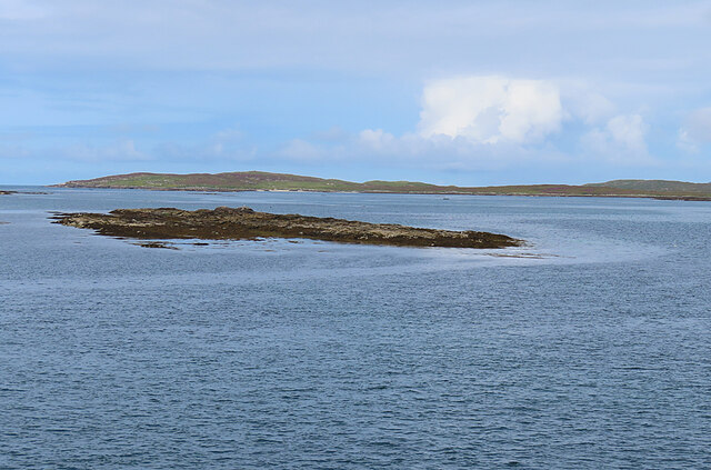
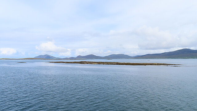
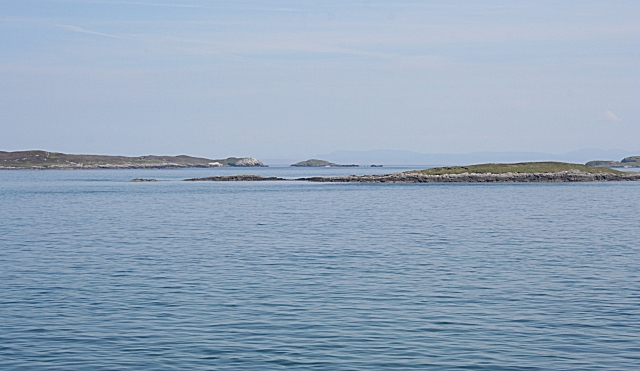
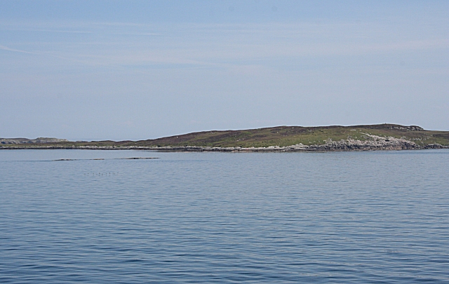
Bodha Dubh Iain Mhic Coinnaich Images

Images are sourced within 2km of 57.716802/-7.0483571 or Grid Reference NF9980. Thanks to Geograph Open Source API. All images are credited.

Grodhaigh, in the Sound of Harris Fish farming off one of the larger islands in the sound. Seen from the ferry to Berneray.
Grodhaigh, in the Sound of Harris
Fish farming off one of the larger islands in the sound. Seen from the ferry to Berneray.
Looking northwest to the trig point on Grodhaigh
Grodhaigh One of the largest of the many islets in the Sound of Harris.
Grodhaigh
One of the largest of the many islets in the Sound of Harris.
Gousman Only the nearest part of this skerry is in square. In the distance is the Isle of Skye.
Gousman
Only the nearest part of this skerry is in square. In the distance is the Isle of Skye.
L1 Starboard Lateral Buoy This green buoy marks the first of the buoys leading to Leverburgh and is located in the area where the buoyage changes.  Now the green buoys are to starboard when previously, on leaving Berneray, the red buoys were to starboard.  The buoy emits two green flashes every five seconds at night.
L1 Starboard Lateral Buoy
This green buoy marks the first of the buoys leading to Leverburgh and is located in the area where the buoyage changes. Now the green buoys are to starboard when previously, on leaving Berneray, the red buoys were to starboard. The buoy emits two green flashes every five seconds at night.
Sgeir Chruaidh Port Channel Marker Red and white pole which emits a flashing red light every five seconds at night.
Sgeir Chruaidh Port Channel Marker
Red and white pole which emits a flashing red light every five seconds at night.
Marker buoy for the Harris to Berneray ferry Unsure the direction of the image.
Marker buoy for the Harris to Berneray ferry
Unsure the direction of the image.
Buoy L1 off Sgeir Chruaidh In the Sound of Harris en route to Berneray.
Buoy L1 off Sgeir Chruaidh
In the Sound of Harris en route to Berneray.
Sgeir Chruaidh
Sgeir Chruaidh
Cabbage Port Lateral Buoy This red buoy emits two red flashes every six seconds at night. This one also doubles up as a radio beacon and broadcasts a radar pulse with morse code character 'T'. <span class="nowrap"><a title="https://en.wikipedia.org/wiki/Racon" rel="nofollow ugc noopener" href="https://en.wikipedia.org/wiki/Racon">Link</a><img style="margin-left:2px;" alt="External link" title="External link - shift click to open in new window" src="https://s1.geograph.org.uk/img/external.png" width="10" height="10"/></span>
Cabbage Port Lateral Buoy
This red buoy emits two red flashes every six seconds at night. This one also doubles up as a radio beacon and broadcasts a radar pulse with morse code character 'T'. LinkExternal link
Near Gousman in the Sound of Harris Taken from Loch Portain, the ferry that operates between Harris and Berneray.  Skye is the dominant landmass in the distance.
Near Gousman in the Sound of Harris
Taken from Loch Portain, the ferry that operates between Harris and Berneray. Skye is the dominant landmass in the distance.
The Loch Portain on its final straight course to Berneray The track of the vessel is displayed in the accommodation area of the ship.  It follows a tortuous route before the straight finale into Berneray.  There are many shallows in the Sound of Harris and revised timetables operate at times of extreme low tides.  (I have a GPS track of the route on the September 7 1130ish sailing for anybody interested!)
The Loch Portain on its final straight course to Berneray
The track of the vessel is displayed in the accommodation area of the ship. It follows a tortuous route before the straight finale into Berneray. There are many shallows in the Sound of Harris and revised timetables operate at times of extreme low tides. (I have a GPS track of the route on the September 7 1130ish sailing for anybody interested!)
CABBAGE buoy in the Sound of Harris Looking south to four skerries between Gousman and Sgeir Sine.
CABBAGE buoy in the Sound of Harris
Looking south to four skerries between Gousman and Sgeir Sine.
CABBAGE buoy and Gousman One on many skerries in the Sound of Harris.
CABBAGE buoy and Gousman
One on many skerries in the Sound of Harris.
Sgeir Chruaidh Sgeir Chruaidh is the skerry in the foreground. The distant island is Ceileagraigh (Killegray).
Sgeir Chruaidh
Sgeir Chruaidh is the skerry in the foreground. The distant island is Ceileagraigh (Killegray).
Sgeir Chruaidh Sgeir Chruaidh is a tidal skerry. In the background are the hills of South Harris.
Sgeir Chruaidh
Sgeir Chruaidh is a tidal skerry. In the background are the hills of South Harris.
Gousman and Grodhaigh The nearest skerry is Gousman, which is on the edge of this grid square. To the left is Grodhaigh, in the next square. (To locate this shot accurately I pressed the 'mark' facility of the GPS in the left hand simultaneously with pressing the shutter of the camera in the right hand.)
Gousman and Grodhaigh
The nearest skerry is Gousman, which is on the edge of this grid square. To the left is Grodhaigh, in the next square. (To locate this shot accurately I pressed the 'mark' facility of the GPS in the left hand simultaneously with pressing the shutter of the camera in the right hand.)
Grodhaigh Grodhaigh or Groay extends into this square. The trig point on its summit, all of 26 metres above sea level, is just visible in this view. (To locate this shot accurately I pressed the 'mark' facility of the GPS in the left hand simultaneously with pressing the shutter of the camera in the right hand.)
Grodhaigh
Grodhaigh or Groay extends into this square. The trig point on its summit, all of 26 metres above sea level, is just visible in this view. (To locate this shot accurately I pressed the 'mark' facility of the GPS in the left hand simultaneously with pressing the shutter of the camera in the right hand.)
Show me another place!

Bodha Dubh Iain Mhic Coinnaich is located at Grid Ref: NF9980 (Lat: 57.716802, Lng: -7.0483571)

Unitary Authority: Na h-Eileanan an Iar

Police Authority: Highlands and Islands

What 3 Words

///cultivation.remotest.rigs. Near Leverburgh, Na h-Eileanan Siar

Related Wikis

Killegray

Killegray is an island in the Sound of Harris in the Outer Hebrides of Scotland. == Geography == Situated in the Sound of Harris, a channel of water between...

Sgarabhaigh

Sgarabhaigh (formerly anglicised Scaravay) is a small uninhabited island in the eastern end of the Sound of Harris, Outer Hebrides, Scotland. It is approximately...

Sound of Harris

The Sound of Harris (Scottish Gaelic: Caolas na Hearadh) is a channel between the islands of Harris and North Uist in the Outer Hebrides of Scotland....

South Lewis, Harris and North Uist National Scenic Area

South Lewis, Harris and North Uist is a large national scenic area (NSA) in the Western Isles of Scotland. It is one of 40 such areas in Scotland, which...

Have you been to Bodha Dubh Iain Mhic Coinnaich?

Leave your review of Bodha Dubh Iain Mhic Coinnaich below (or comments, questions and feedback).