Bodha Leathach Caolais

Coastal Feature, Headland, Point in Inverness-shire

Scotland

Bodha Leathach Caolais

Ruin of a small stone building next to a field boundary
Ruin of a small stone building next to a field boundary Credit: Sandy Gerrard

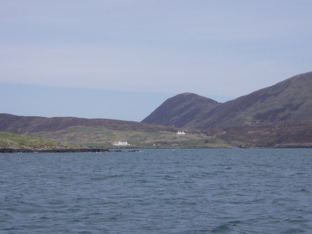
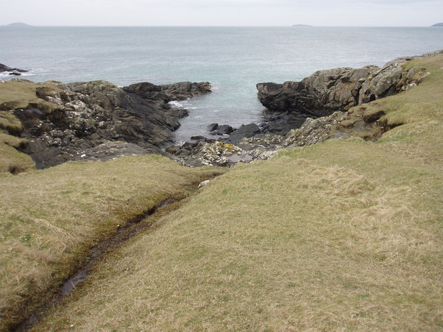
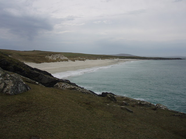
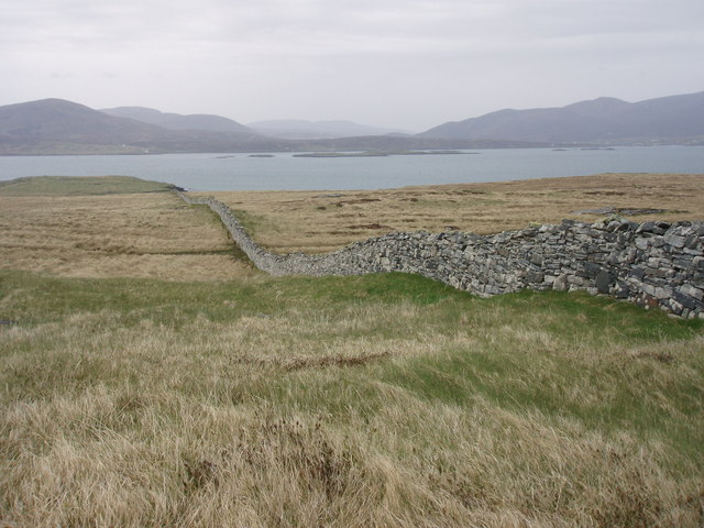
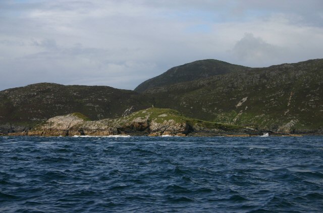
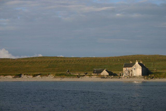
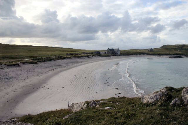
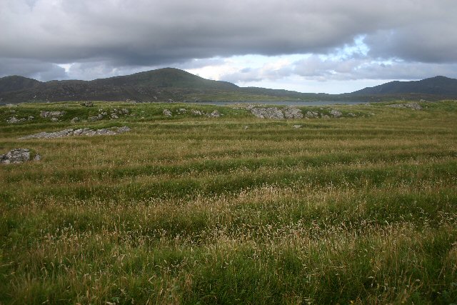
Bodha Leathach Caolais is a prominent coastal feature located in Inverness-shire, Scotland. It is specifically classified as a headland or point, jutting out into the North Atlantic Ocean. This picturesque headland is situated on the northwest coast of Scotland, offering breathtaking views of the surrounding landscape.

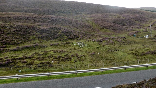
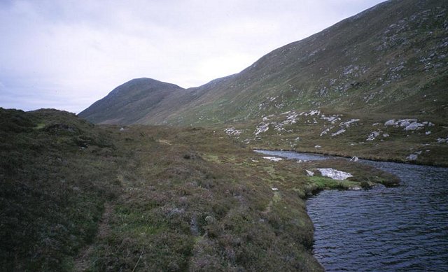
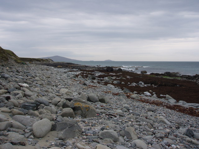
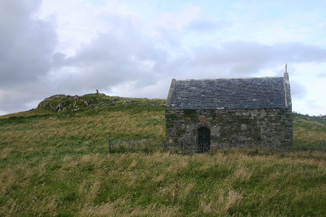
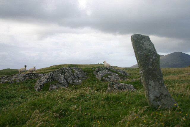
Bodha Leathach Caolais is characterized by its rugged cliffs, which rise dramatically from the sea. The height and steepness of these cliffs make it an impressive sight and a popular spot for visitors and photographers alike. The headland is also known for its stunning rock formations, sculpted by years of coastal erosion.

The area surrounding Bodha Leathach Caolais is rich in wildlife, making it a haven for nature enthusiasts. Seabirds such as puffins, gannets, and guillemots can often be spotted nesting on the cliffs, while seals can be seen basking on nearby rocks.

Access to Bodha Leathach Caolais is relatively easy, with a well-maintained footpath leading to the headland. The path provides visitors with the opportunity to explore the area and enjoy the striking coastal scenery. There are also several vantage points along the way, allowing visitors to fully appreciate the beauty of the headland and its surroundings.

Overall, Bodha Leathach Caolais is a remarkable coastal feature in Inverness-shire, offering stunning views, diverse wildlife, and a peaceful escape from the hustle and bustle of everyday life. It is a must-visit destination for those seeking to experience the raw beauty of Scotland's coastline.

If you have any feedback on the listing, please let us know in the comments section below.

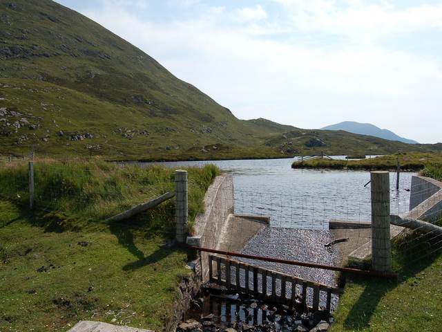
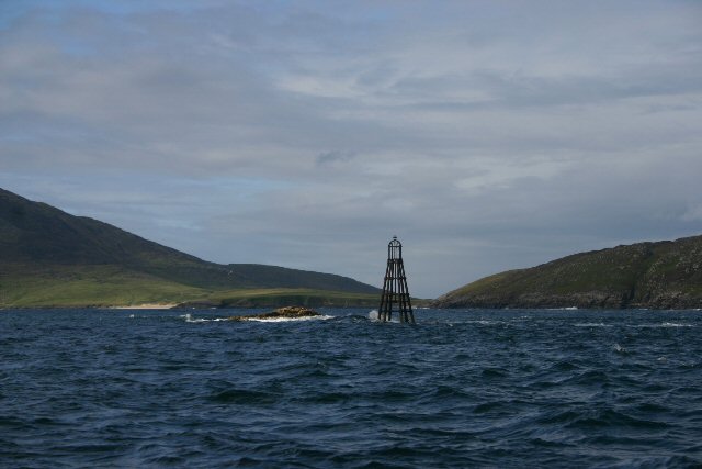
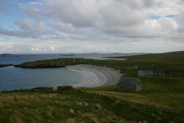
Bodha Leathach Caolais Images

Images are sourced within 2km of 57.776968/-7.0721474 or Grid Reference NF9887. Thanks to Geograph Open Source API. All images are credited.

Ruin of a small stone building next to a field boundary
Abhainn Druim a' Phund The small burn drains a lochan just up the glen. The steep hill is Maodal.
Abhainn Druim a' Phund
The small burn drains a lochan just up the glen. The steep hill is Maodal.
Slopes of Greabhal. Steep but easy hill above Northton. The lochan is used for water supply.
Slopes of Greabhal.
Steep but easy hill above Northton. The lochan is used for water supply.
Houses at Taigh a Chaolais South end of Harris, from the Sound
Houses at Taigh a Chaolais
South end of Harris, from the Sound
Cove on Ensay An almost deserted island on the west of the Sound of Harris
Cove on Ensay
An almost deserted island on the west of the Sound of Harris
Manish beach, Ensay A sheltered sandy beach at the north of Ensay; good mooring.
Manish beach, Ensay
A sheltered sandy beach at the north of Ensay; good mooring.
Rocky corner of Manish beach, Ensay The western end of this sheltered beach; Pabbay in the distance.
Rocky corner of Manish beach, Ensay
The western end of this sheltered beach; Pabbay in the distance.
Wall on Ensay Well built wall, just south of Ensay House
Wall on Ensay
Well built wall, just south of Ensay House
Ensay House
Ensay House
Loch Iosal Vassary Dam at the north end of Loch Iosal Vassary.
Loch Iosal Vassary
Dam at the north end of Loch Iosal Vassary.
Stromay The small island of Stromay (Sromaigh) lies off the west coast of South Harris.  Not to be confused with a larger island of the same name which lies off the coast of North Uist.
Stromay
The small island of Stromay (Sromaigh) lies off the west coast of South Harris. Not to be confused with a larger island of the same name which lies off the coast of North Uist.
Red Rock, South Harris This rock (in Gaelic, Ceag Ruadh) is marked by a beacon and lies adjacent to the island of Stromay, off South Harris' west coast.
Red Rock, South Harris
This rock (in Gaelic, Ceag Ruadh) is marked by a beacon and lies adjacent to the island of Stromay, off South Harris' west coast.
Ensay House and bay Looking south to Borosdale Point.
Ensay House and bay
Looking south to Borosdale Point.
Ensay House Viewed from the anchorage in the bay. This house, once home to the Stewart family, was renovated in 1991 as holiday accommodation.
Ensay House
Viewed from the anchorage in the bay. This house, once home to the Stewart family, was renovated in 1991 as holiday accommodation.
Ensay House and bay Viewed from Borosdale Point, looking northwards.
Ensay House and bay
Viewed from Borosdale Point, looking northwards.
Christ Church Chapel, Ensay Little is known of the chapel's early history. In the early 1900s the island of Ensay became the property of the Stewart family and one of the sisters, Mrs Jessie Scott, decided to renew the old chapel beside Ensay House and to restore it to its original purpose. By 1909 it was repaired, the rood re-slated, the ceiling panelled in Californian redwood, a heavy oak door added and a new altar, altar rail, reredos and lectern made in mahogany. The church fell into disrepair again after the First World War, but it was restored in the early 1950s by John David, who had bought Ensay House. An annual pilgrimage to the chapel is maintained by members of Lewis and Harris congregations.  On the hill behind the chapel is a standing stone.
Christ Church Chapel, Ensay
Little is known of the chapel's early history. In the early 1900s the island of Ensay became the property of the Stewart family and one of the sisters, Mrs Jessie Scott, decided to renew the old chapel beside Ensay House and to restore it to its original purpose. By 1909 it was repaired, the rood re-slated, the ceiling panelled in Californian redwood, a heavy oak door added and a new altar, altar rail, reredos and lectern made in mahogany. The church fell into disrepair again after the First World War, but it was restored in the early 1950s by John David, who had bought Ensay House. An annual pilgrimage to the chapel is maintained by members of Lewis and Harris congregations. On the hill behind the chapel is a standing stone.
Standing stone on Ensay Situated on the bluff behind Christ Church Chapel.
Standing stone on Ensay
Situated on the bluff behind Christ Church Chapel.
Old lazy beds on Ensay There are signs of former cultivation all over this island. These appear to be former lazy beds.
Old lazy beds on Ensay
There are signs of former cultivation all over this island. These appear to be former lazy beds.
Show me another place!

Bodha Leathach Caolais is located at Grid Ref: NF9887 (Lat: 57.776968, Lng: -7.0721474)

Unitary Authority: Na h-Eileanan an Iar

Police Authority: Highlands and Islands

What 3 Words

///spelled.portfolio.envy. Near Leverburgh, Na h-Eileanan Siar

Related Wikis

Ensay (Outer Hebrides)

Ensay (Gaelic Easaigh) is a currently unpopulated and privately owned island in the Outer Hebrides of Scotland. The island lies in the Sound of Harris...

Leverburgh

Leverburgh (Scottish Gaelic: An t-Òb [ən̪ˠ ˈt̪ɔːp]) is the second largest village, after Tarbert, in Harris in the Outer Hebrides of Scotland. Leverburgh...

1990 Scotland RAF Shackleton crash

On 30 April 1990, a Royal Air Force Avro Shackleton AEW Mk II aircraft, of No. 8 Squadron RAF, based at RAF Lossiemouth, crashed into a hill on the Isle...

Outer Hebrides

The Outer Hebrides ( HEB-rid-eez) or Western Isles (Scottish Gaelic: na h-Eileanan Siar [nə ˈhelanən ˈʃiəɾ] , na h-Eileanan an Iar [nə ˈhelanən əɲ ˈiəɾ...

Have you been to Bodha Leathach Caolais?

Leave your review of Bodha Leathach Caolais below (or comments, questions and feedback).